Nant Gaeddor
Valley in Denbighshire
Wales
Nant Gaeddor

The requested URL returned error: 429 Too Many Requests
If you have any feedback on the listing, please let us know in the comments section below.
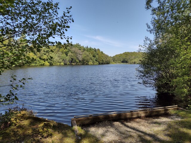
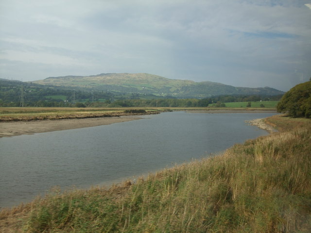
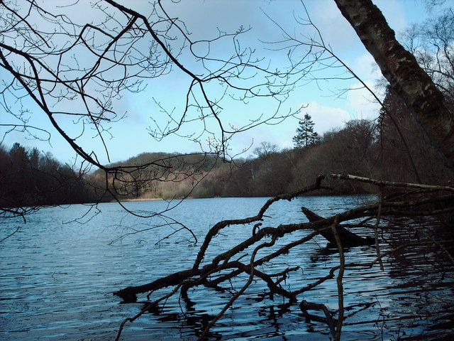
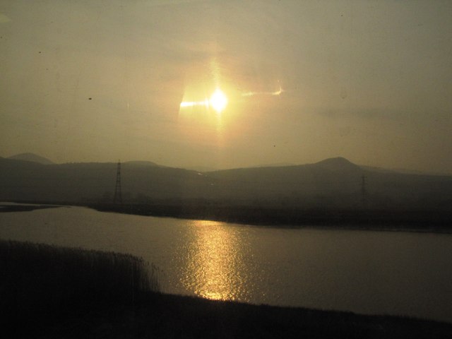
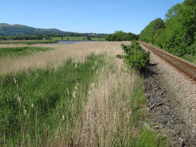
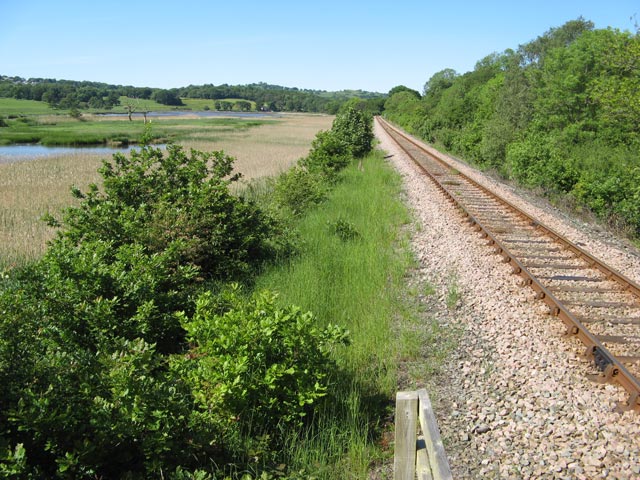
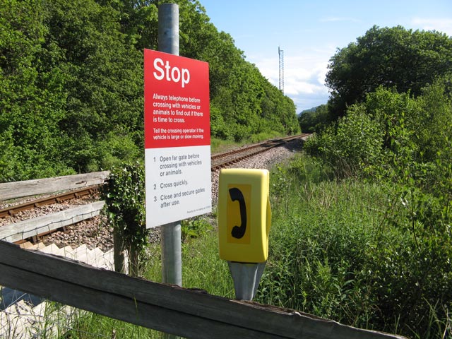
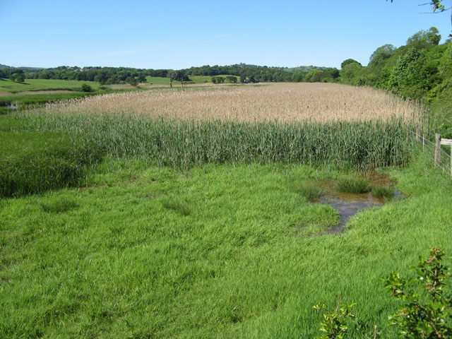
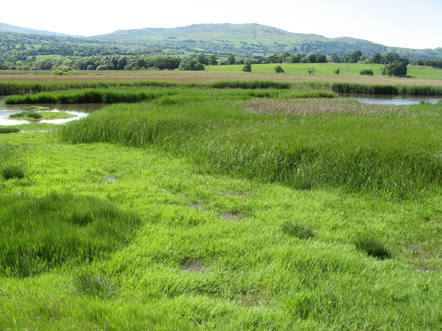
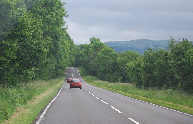
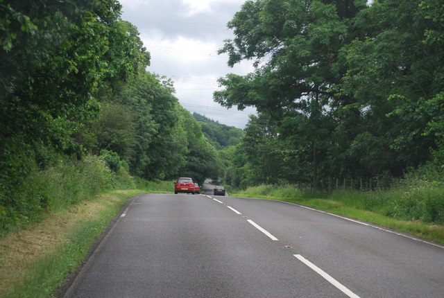
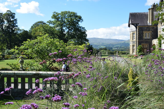
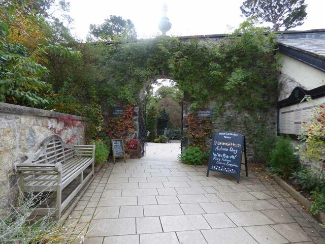
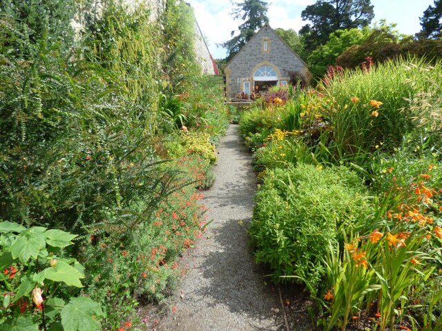
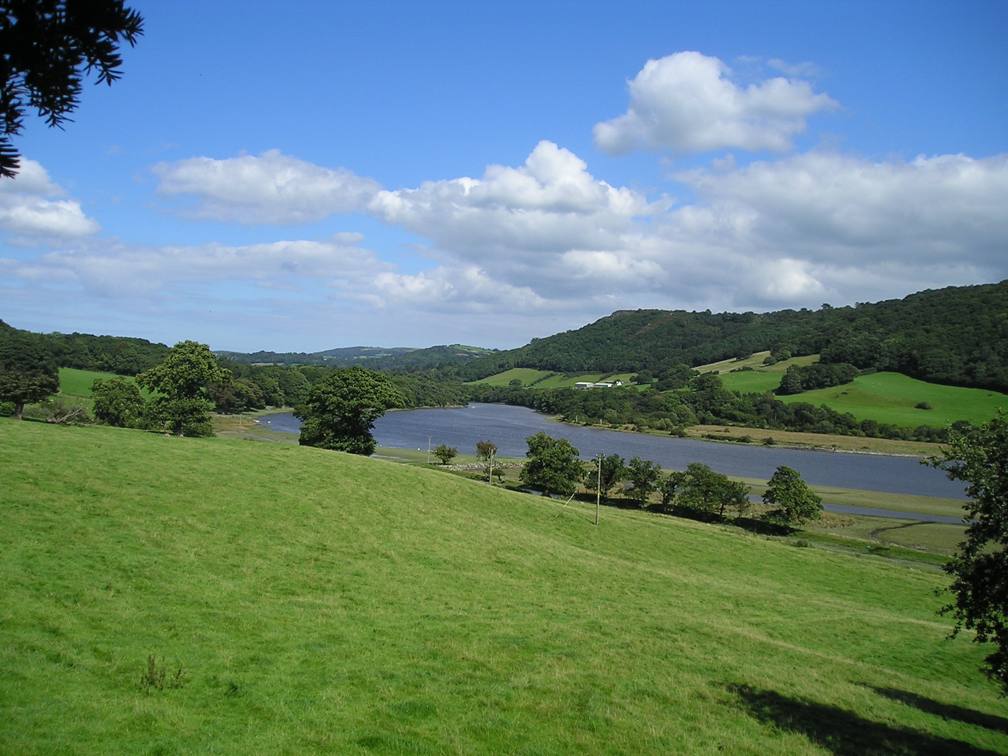
Nant Gaeddor Images
Images are sourced within 2km of 53.221191/-3.814499 or Grid Reference SH7870. Thanks to Geograph Open Source API. All images are credited.


Nant Gaeddor is located at Grid Ref: SH7870 (Lat: 53.221191, Lng: -3.814499)
Unitary Authority: Conwy
Police Authority: North Wales
What 3 Words
///recliner.gems.grape. Near Llansantffraid Glan Conwy, Conwy
Nearby Locations
Related Wikis

Tal-y-Cafn
Tal-y-Cafn (Welsh meaning : "place opposite the ferry-boat") is a small settlement in Conwy county borough, north Wales, in the community of Eglwysbach...
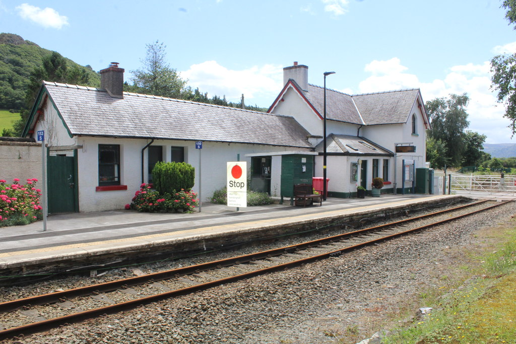
Tal-y-Cafn railway station
Tal-y-Cafn railway station is located at Tal-y-Cafn, Wales, on the Conwy Valley Line from Llandudno Junction to Blaenau Ffestiniog. == History == Until...
Canovium
Canovium was a fort in the Roman province of Britannia. Its site is located at Caerhun in the Conwy valley, in the county borough of Conwy, in North Wales...

Afon Roe
The Afon Roe is a small river in Snowdonia in north-west Wales.Its tributary is the Afon Tafolog, which drains the eastern slopes of Drum, a mountain in...
Nearby Amenities
Located within 500m of 53.221191,-3.814499Have you been to Nant Gaeddor?
Leave your review of Nant Gaeddor below (or comments, questions and feedback).