Ashcombe Bottom
Valley in Somerset Somerset West and Taunton
England
Ashcombe Bottom
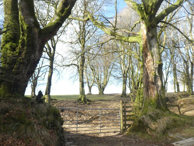
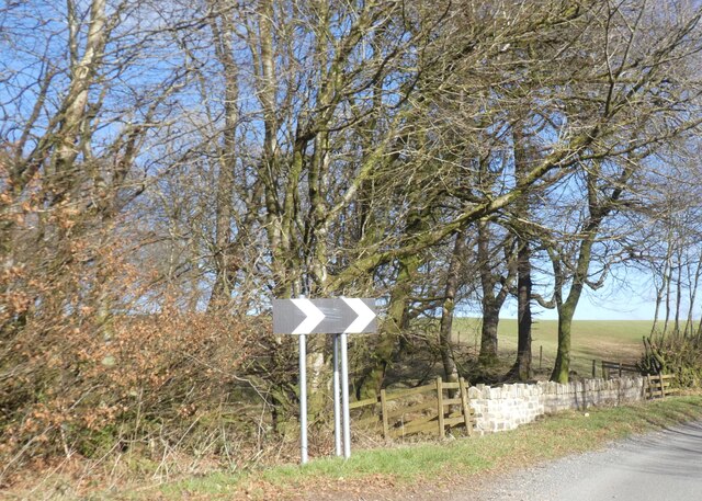
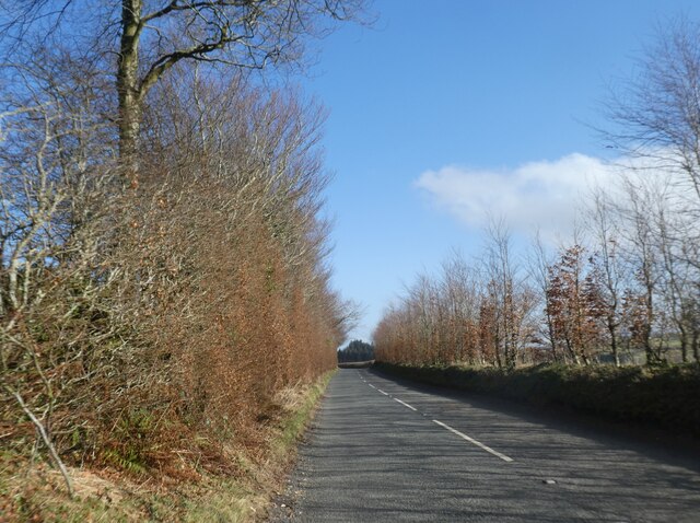
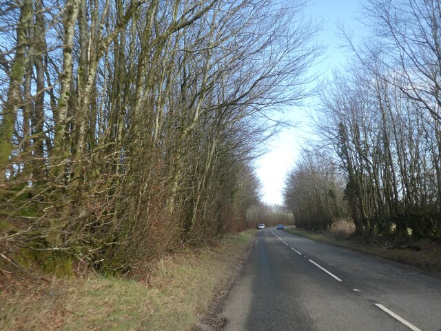
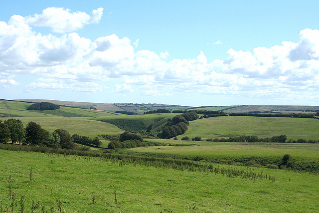
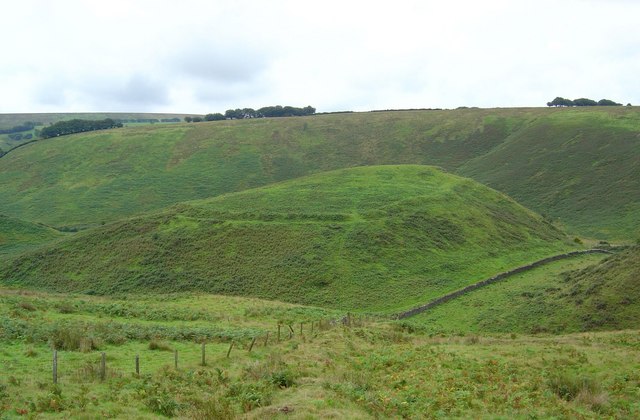
Ashcombe Bottom is a picturesque valley located in Somerset, England. Situated in the Mendip Hills, this tranquil spot is renowned for its natural beauty and diverse wildlife. The valley spans over several miles, surrounded by rolling hills and lush green meadows, creating a truly idyllic setting.
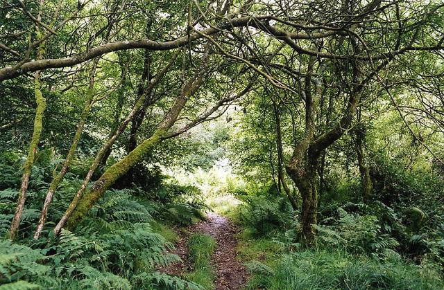
The area is characterized by its dense woodland, predominantly comprised of oak, beech, and ash trees. These trees provide an enchanting canopy, offering shade and shelter to the abundance of wildlife that calls Ashcombe Bottom home. Visitors can often spot a variety of birds, including woodpeckers, owls, and various songbirds, as well as woodland mammals like badgers and foxes.
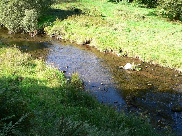
Flowing through the center of the valley is a sparkling stream, which meanders its way through the landscape, creating small pools and cascades along its course. This stream attracts an array of aquatic life, including fish, frogs, and water insects, adding to the biodiversity of the area.
Ashcombe Bottom is a haven for nature enthusiasts and outdoor enthusiasts alike. The valley offers numerous walking trails and footpaths, allowing visitors to explore the stunning surroundings at their own pace. The trails offer breathtaking views of the valley and its surrounding hills, making it a popular destination for photographers and artists seeking inspiration.
Overall, Ashcombe Bottom is a true gem nestled within the Somerset countryside. Its unspoiled beauty and rich biodiversity make it a must-visit destination for those seeking a peaceful retreat in the heart of nature.
If you have any feedback on the listing, please let us know in the comments section below.
Ashcombe Bottom Images
Images are sourced within 2km of 51.147896/-3.7544743 or Grid Reference SS7740. Thanks to Geograph Open Source API. All images are credited.


Ashcombe Bottom is located at Grid Ref: SS7740 (Lat: 51.147896, Lng: -3.7544743)
Administrative County: Somerset
District: Somerset West and Taunton
Police Authority: Avon and Somerset
What 3 Words
///marmalade.princely.undivided. Near Lynton, Devon
Nearby Locations
Related Wikis

Simonsbath
Simonsbath () is a small village high on Exmoor in the English county of Somerset. It is the principal settlement in the Exmoor civil parish, which is...

St Luke's Church, Simonsbath
St Luke's Church is a Church of England church in Simonsbath, Exmoor, Somerset, England. The church, which was designed by Henry Clutton and built in 1855...
Simonsbath House
Simonsbath House is a historic house in Simonsbath on Exmoor in Somerset, England. The Grade II listed building is now the Simonsbath House Hotel, and...

Wheal Eliza Mine
Wheal Eliza Mine was an unsuccessful copper and iron mine on the River Barle near Simonsbath on Exmoor in the English county of Somerset. The first mining...

Lanacombe
Lanacombe is an area of Exmoor in Somerset, South West England. It is the site of several standing stones and cairns which have been scheduled as ancient...
Cow Castle
Cow Castle is an Iron Age hillfort 5.75 kilometres (4 mi) West South West of Exford, Somerset, England within the Exmoor National Park. It is a Scheduled...

Chains (geological site)
The Chains is the name given to the north-west plateau of Exmoor, Somerset, England. This plateau lies above the 1,500 feet (457 m) contour line, and includes...

North Exmoor SSSI
North Exmoor (grid reference SS800430) is a 12,005.3-hectare (29,666-acre) biological Site of Special Scientific Interest (SSSI) in Devon and Somerset...
Have you been to Ashcombe Bottom?
Leave your review of Ashcombe Bottom below (or comments, questions and feedback).