Horcombe

Valley in Somerset Somerset West and Taunton

England

Horcombe

River Barle Upstream of Simonsbath Looking West
River Barle Upstream of Simonsbath Credit: Richard Mascall

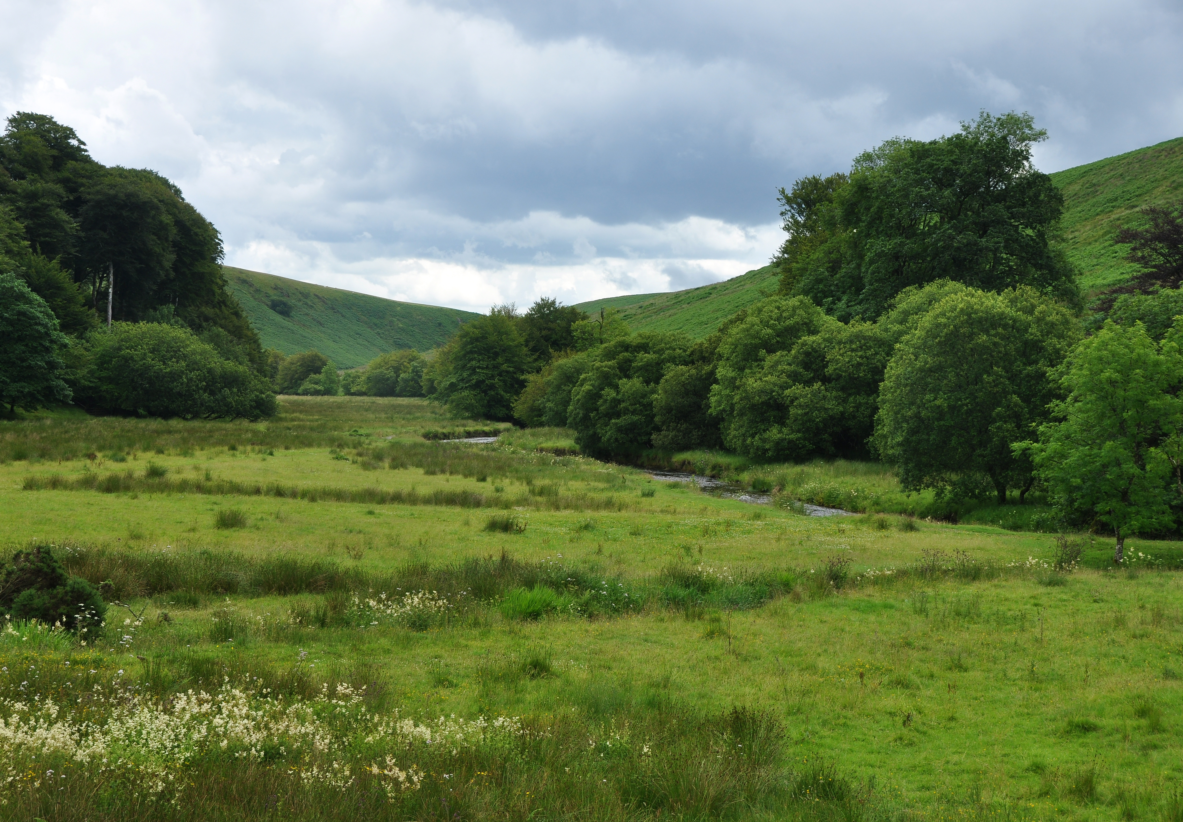
Horcombe is a picturesque village located in the county of Somerset, England. Nestled in a charming valley, it is a small and tight-knit community that exudes a sense of tranquility and rural charm. The village is surrounded by rolling hills and lush green countryside, offering breathtaking views and a peaceful atmosphere.

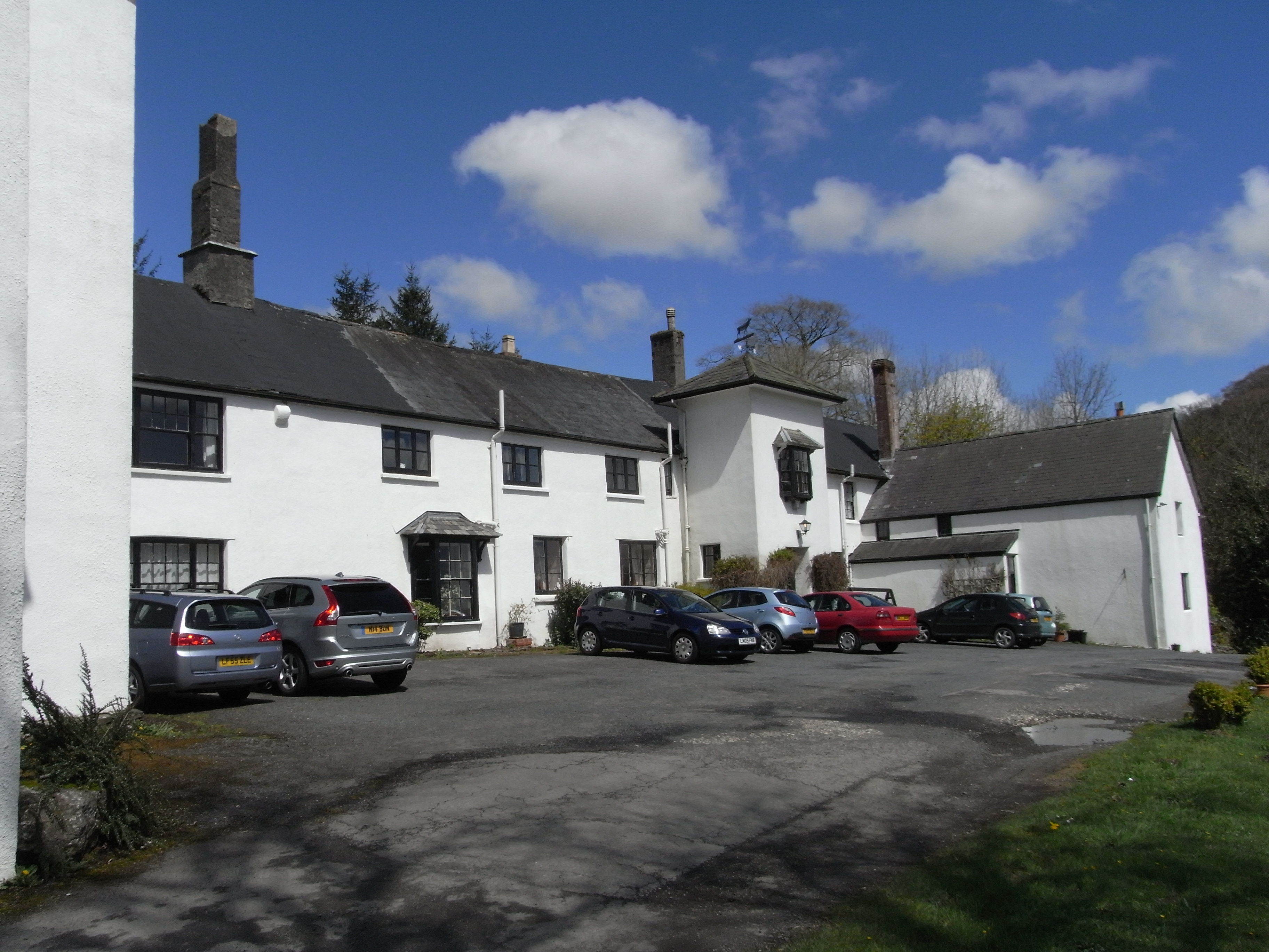
The architecture of Horcombe reflects its rich history, with many traditional stone cottages and buildings still standing. These structures add to the village's character and provide a glimpse into its past. The village church, St. Mary's, is a notable feature, dating back several centuries and boasting beautiful stained glass windows and a peaceful churchyard.

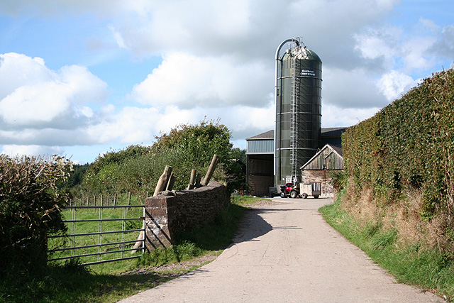
Despite its small size, Horcombe offers a range of amenities for its residents. The village has a local pub, The Horse and Hound, which is a popular gathering spot for locals and visitors alike. There is also a village shop that caters to the basic needs of the community.

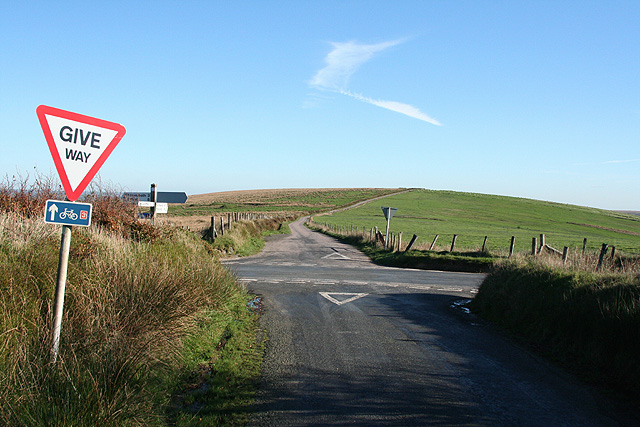
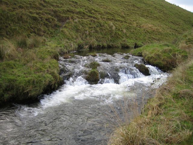
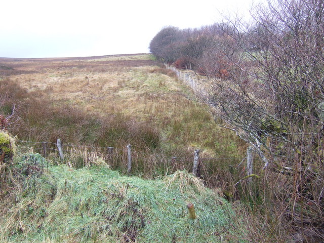
Nature lovers will relish the opportunities for outdoor activities in and around Horcombe. The village is surrounded by scenic walking trails and bridleways, perfect for exploring the stunning countryside. The nearby Quantock Hills, designated as an Area of Outstanding Natural Beauty, offer further opportunities for hiking, cycling, and horse riding.

Horcombe is well-connected to the wider region, with good transport links to nearby towns and cities. The village is approximately 10 miles away from the county town of Taunton, providing access to a wider range of amenities and services.

In summary, Horcombe is a charming village in Somerset, boasting a tranquil setting, rich history, and easy access to stunning natural landscapes. It offers a peaceful and idyllic lifestyle for its residents and attracts visitors seeking a taste of rural English life.

If you have any feedback on the listing, please let us know in the comments section below.

Horcombe Images

Images are sourced within 2km of 51.131812/-3.795628 or Grid Reference SS7438. Thanks to Geograph Open Source API. All images are credited.

River Barle Upstream of Simonsbath Looking West
River Barle Upstream of Simonsbath
Looking West
River Barle Looking downstream. November snow, not often seen on Exmoor nowadays.
River Barle
Looking downstream. November snow, not often seen on Exmoor nowadays.
Barle valley A section of the upper Barle valley, looking west (upstream)
Barle valley
A section of the upper Barle valley, looking west (upstream)
Small waterfall Small tributary joining the river Barle 10 metres upstream of the footbridge at Cornham Ford on the Two Moors Way.
Small waterfall
Small tributary joining the river Barle 10 metres upstream of the footbridge at Cornham Ford on the Two Moors Way.
Exmoor: Kinsford Gate Cross Looking east-south-east. The road ahead leads to Sandyway Cross and is the boundary between Somerset and Devon
Exmoor: Kinsford Gate Cross
Looking east-south-east. The road ahead leads to Sandyway Cross and is the boundary between Somerset and Devon
North Molton: towards Setta Barrow Looking north-north-west from North Twitchen. Setta Barrow stands on the skyline beyond the square, above the line of trees on the right
North Molton: towards Setta Barrow
Looking north-north-west from North Twitchen. Setta Barrow stands on the skyline beyond the square, above the line of trees on the right
River Barle A small waterfall on the river Barle just below Acklands Farm
River Barle
A small waterfall on the river Barle just below Acklands Farm
Cornham Farm Cornham Farm from the Two Moors Way.
Cornham Farm
Cornham Farm from the Two Moors Way.
Barle Valley Looking West up the Barle valley from the Two Moors Way.
Barle Valley
Looking West up the Barle valley from the Two Moors Way.
Tree A tree, that's had a hard life, beside the river Barle.
Tree
A tree, that's had a hard life, beside the river Barle.
Barle Valley Looking upstream from the Simonsbath - Brayford road. Stormy weather approaching.
Barle Valley
Looking upstream from the Simonsbath - Brayford road. Stormy weather approaching.
Exmoor: Bale Water By the bridge over the river on the B3358 Simonsbath-Challacombe road. A small tributary stream runs in from the right. The Bale is a tributary of the Barle. Looking south east
Exmoor: Bale Water
By the bridge over the river on the B3358 Simonsbath-Challacombe road. A small tributary stream runs in from the right. The Bale is a tributary of the Barle. Looking south east
Exmoor: lane to kennels Looking north near Cornham Bungalow. The buildings beyond the trees are indicated on the Ordnance Survey map as the home of the Exmoor Foxhounds
Exmoor: lane to kennels
Looking north near Cornham Bungalow. The buildings beyond the trees are indicated on the Ordnance Survey map as the home of the Exmoor Foxhounds
Exmoor: river Barle Looking west above Cornham Brake. Seen from the South Molton road near Simonsbath
Exmoor: river Barle
Looking west above Cornham Brake. Seen from the South Molton road near Simonsbath
Exmoor: cairn The cairn commemorates John William Fortescue, historian of the British Army, 1859-1933. Looking north above Drybridge Combe with the South Molton-Simonsbath road on the right
Exmoor: cairn
The cairn commemorates John William Fortescue, historian of the British Army, 1859-1933. Looking north above Drybridge Combe with the South Molton-Simonsbath road on the right
Exmoor: at Blue Gate Looking east-south-east with Exmoor ponies
Exmoor: at Blue Gate
Looking east-south-east with Exmoor ponies
Bridge over the Barle at Cornham Ford The photograph was taken from the foot of the small stream shown in <a title="https://www.geograph.org.uk/photo/92121" href="https://www.geograph.org.uk/photo/92121">Link</a>
Bridge over the Barle at Cornham Ford
The photograph was taken from the foot of the small stream shown in Link
Exmoor by Kinsford Looking west towards Five Burrows Hill.
Exmoor by Kinsford
Looking west towards Five Burrows Hill.
Show me another place!

Horcombe is located at Grid Ref: SS7438 (Lat: 51.131812, Lng: -3.795628)

Administrative County: Somerset

District: Somerset West and Taunton

Police Authority: Avon and Somerset

What 3 Words

///outcasts.farmer.shimmered. Near Lynton, Devon

Nearby Locations

Horcombe

Related Wikis

Simonsbath House

Simonsbath House is a historic house in Simonsbath on Exmoor in Somerset, England. The Grade II listed building is now the Simonsbath House Hotel, and...

Simonsbath

Simonsbath () is a small village high on Exmoor in the English county of Somerset. It is the principal settlement in the Exmoor civil parish, which is...

St Luke's Church, Simonsbath

St Luke's Church is a Church of England church in Simonsbath, Exmoor, Somerset, England. The church, which was designed by Henry Clutton and built in 1855...

Chains (geological site)

The Chains is the name given to the north-west plateau of Exmoor, Somerset, England. This plateau lies above the 1,500 feet (457 m) contour line, and includes...

Shoulsbury castle

Shoulsbury Castle is an Iron Age hill fort close to Challacombe in Devon, England. It takes the form of a multi-ditch and rampart enclosure close to the...

Wheal Eliza Mine

Wheal Eliza Mine was an unsuccessful copper and iron mine on the River Barle near Simonsbath on Exmoor in the English county of Somerset. The first mining...

Barle Valley

Barle Valley is a 1,540 acres (620 ha) Site of Special Scientific Interest within Exmoor National Park, situated in the counties of Devon and Somerset...

North Radworthy

North Radworthy is a hamlet and historic estate in the civil parish and former manor of North Molton, in the North Devon district of the county of Devon...

Nearby Amenities

Located within 500m of 51.131812,-3.795628
Mine
Man Made: adit
Lat/Long: 51.1329289/-3.7888699
Cornham Ford
Ford: yes
Lat/Long: 51.1333235/-3.7893471
The data included in this document is from www.openstreetmap.org. The data is made available under ODbL.

Have you been to Horcombe?

Leave your review of Horcombe below (or comments, questions and feedback).