Colzium Glen
Valley in Stirlingshire
Scotland
Colzium Glen

Colzium Glen is a picturesque valley located in Stirlingshire, Scotland. Nestled between the towns of Kilsyth and Cumbernauld, this stunning natural landscape offers visitors a tranquil and scenic escape from the hustle and bustle of city life.
Covering an area of approximately 200 acres, Colzium Glen is characterized by its lush greenery, rolling hills, and meandering streams. The valley is home to a diverse range of flora and fauna, making it a popular destination for nature enthusiasts and wildlife lovers alike. Visitors can expect to encounter various species of birds, mammals, and plants as they explore the glen's well-maintained paths and trails.
One of the main attractions in Colzium Glen is Colzium House, a historic mansion that dates back to the 18th century. The house, with its distinctive Georgian architecture, is surrounded by beautifully landscaped gardens, which offer visitors a peaceful spot to relax and enjoy the stunning surroundings. The gardens also feature a walled garden, a maze, and a children's play area, making it an ideal destination for families.
Moreover, Colzium Glen is steeped in history, with remnants of ancient settlements and landmarks scattered throughout the valley. The area is believed to have been inhabited since prehistoric times, and there are remnants of an Iron Age fort as well as a Roman fortlet nearby. These historical sites add an additional layer of intrigue and fascination to the glen.
In conclusion, Colzium Glen in Stirlingshire is a captivating destination for those seeking natural beauty, tranquility, and a glimpse into Scotland's rich history. With its stunning landscapes, diverse wildlife, and historical landmarks, this valley offers a unique and memorable experience for visitors of all ages.
If you have any feedback on the listing, please let us know in the comments section below.
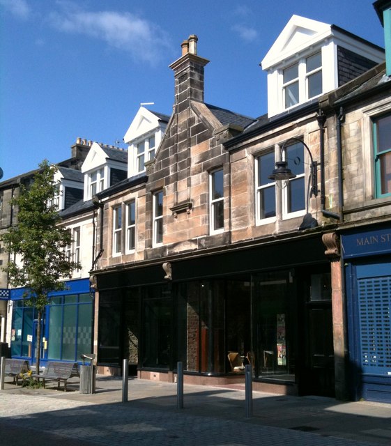
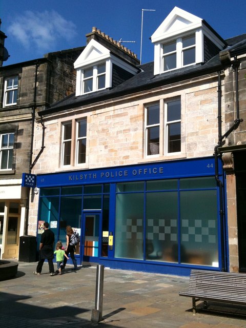
Colzium Glen Images
Images are sourced within 2km of 55.984942/-4.0383798 or Grid Reference NS7278. Thanks to Geograph Open Source API. All images are credited.


Colzium Glen is located at Grid Ref: NS7278 (Lat: 55.984942, Lng: -4.0383798)
Unitary Authority: North Lanarkshire
Police Authority: Lanarkshire
What 3 Words
///wallet.group.tadpole. Near Kilsyth, North Lanarkshire
Nearby Locations
Related Wikis

Colzium
Colzium House and Estate (pronounced Coal-Zee-Um) is about 500 metres to the north-east of Kilsyth, North Lanarkshire, Scotland. The present house dates...

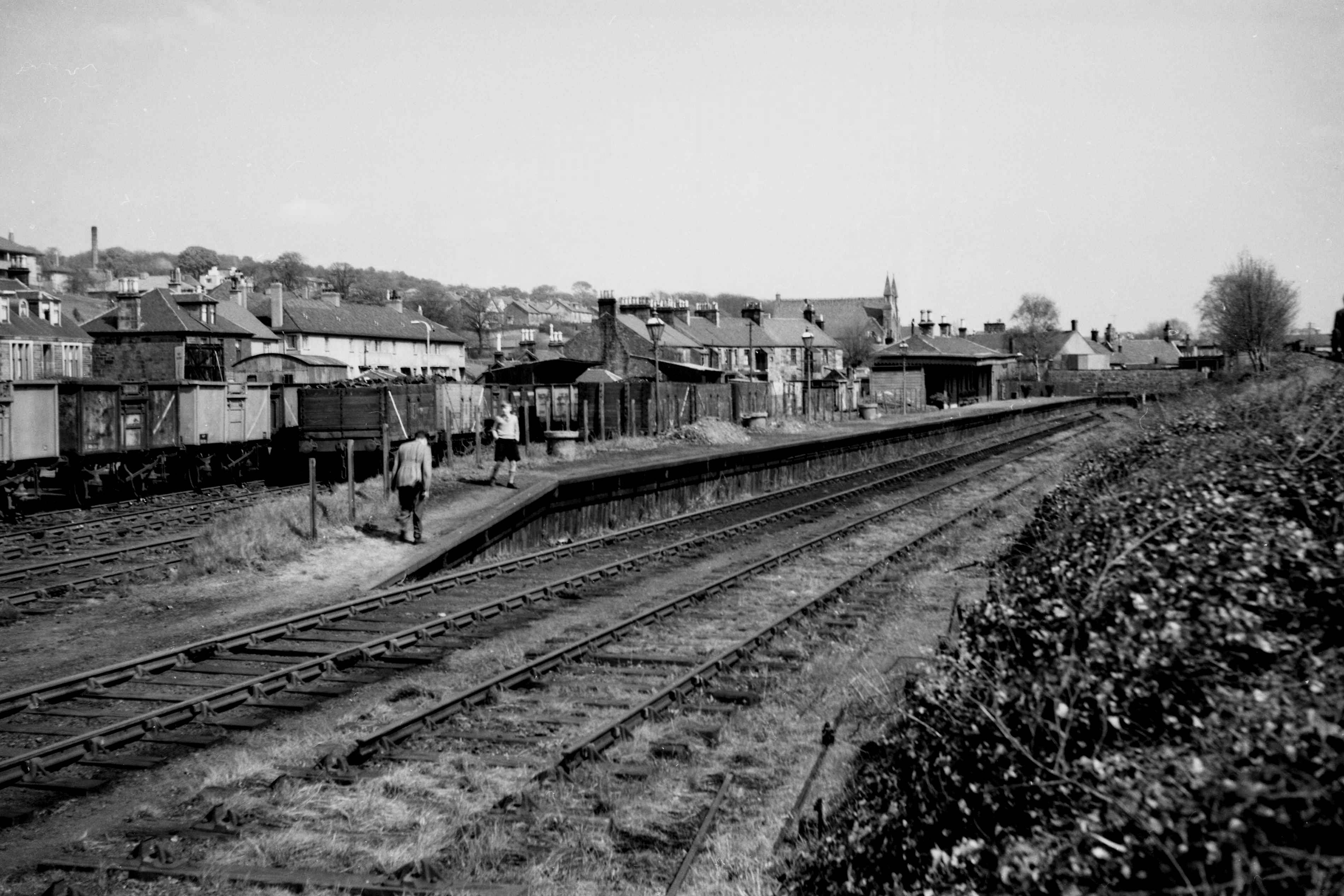
Colzium railway station
Colzium railway station served the area of Colzium, North Lanarkshire, Scotland from 1888 to 1917 on the Kilsyth and Bonnybridge Railway. == History... ==

Banton Loch
Banton Loch, also known as Kilsyth Loch, Townhead Reservoir and once nicknamed Bakers' Loch, is an artificial freshwater lake located to the east of Kilsyth...
Kilsyth New railway station
Kilsyth New station served the town of Kilsyth in Scotland. The station was on the Kilsyth and Bonnybridge Railway. == History == The station opened on...

Battle of Kilsyth
The Battle of Kilsyth, fought on 15 August 1645 near Kilsyth, was an engagement of the Wars of the Three Kingdoms. The largest battle of the conflict in...

Kilsyth
Kilsyth (; Scottish Gaelic Cill Saidhe) is a town and civil parish in North Lanarkshire, roughly halfway between Glasgow and Stirling in Scotland. The...
Kilsyth railway station
Kilsyth Old station served the town of Kilsyth in Scotland. It was the original terminus of the Kelvin Valley Railway. == History == The station opened...
Kilsyth Rangers F.C.
Kilsyth Rangers Football Club are a Scottish football club based in the town of Kilsyth, North Lanarkshire. Nicknamed The Wee Gers, they were formed in...
Nearby Amenities
Located within 500m of 55.984942,-4.0383798Have you been to Colzium Glen?
Leave your review of Colzium Glen below (or comments, questions and feedback).