Ceunant Stwcle
Valley in Merionethshire
Wales
Ceunant Stwcle

The requested URL returned error: 429 Too Many Requests
If you have any feedback on the listing, please let us know in the comments section below.
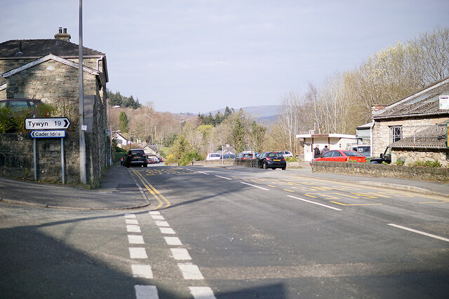
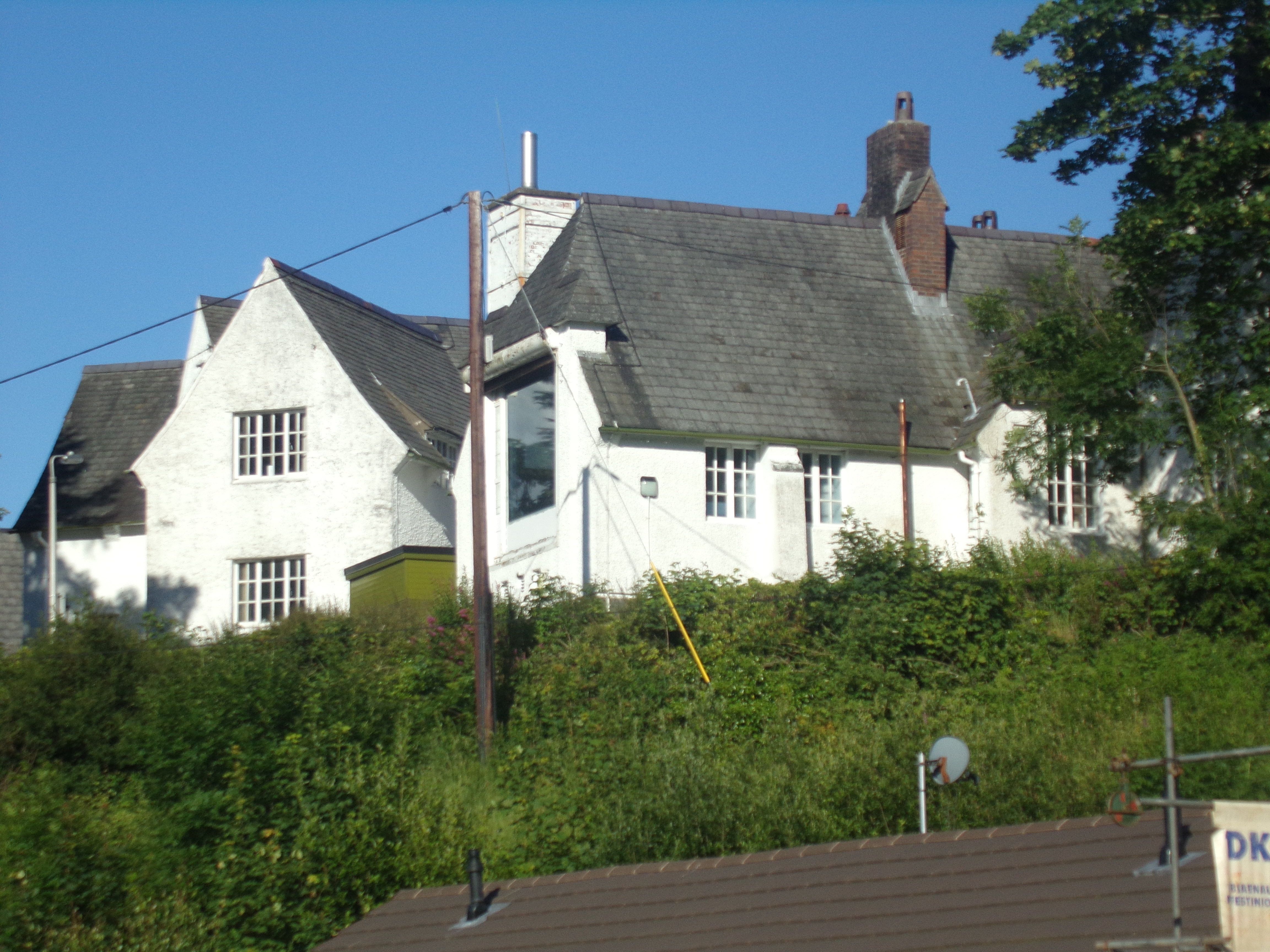
Ceunant Stwcle Images
Images are sourced within 2km of 52.735269/-3.8846302 or Grid Reference SH7216. Thanks to Geograph Open Source API. All images are credited.


Ceunant Stwcle is located at Grid Ref: SH7216 (Lat: 52.735269, Lng: -3.8846302)
Unitary Authority: Gwynedd
Police Authority: North Wales
What 3 Words
///dries.cost.liver. Near Dolgellau, Gwynedd
Nearby Locations
Related Wikis

Dolgelley power station
Dolgelley or Dolgellau power station was a combined diesel and hydroelectric generating station. It provided electricity to the town of Dolgellau, Gwynedd...
Dolgellau and Barmouth Hospital
Dolgellau and Barmouth Hospital (Welsh: Ysbyty Dolgellau ac Abermaw) is a health facility in Dolgellau, Gwynedd, Wales. It is managed by the Betsi Cadwaladr...

Our Lady of Seven Sorrows Church, Dolgellau
Our Lady of Sorrows Church or its full name Our Lady of Seven Sorrows Church is a Roman Catholic parish church in Dolgellau, Gwynedd. It was built in 1966...
Ysgol y Gader
Ysgol y Gader was a bilingual comprehensive school for pupils aged 11–16 that served the town of Dolgellau and the surrounding area in South Meirionnydd...
Nearby Amenities
Located within 500m of 52.735269,-3.8846302Have you been to Ceunant Stwcle?
Leave your review of Ceunant Stwcle below (or comments, questions and feedback).