Ceunant Gorddinan
Valley in Caernarfonshire
Wales
Ceunant Gorddinan
Ceunant Gorddinan is a picturesque valley located in the county of Caernarfonshire, Wales. Nestled in the heart of Snowdonia National Park, this valley is renowned for its stunning natural beauty and breathtaking landscapes.
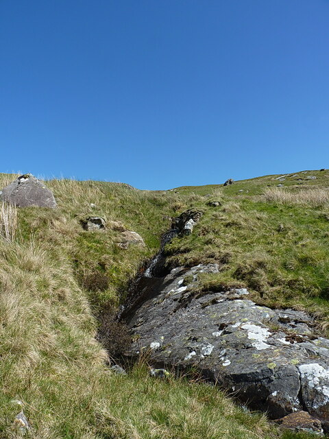
The valley is characterized by its steep, rugged cliffs that surround the rushing waters of the Gorddinan River, which flows through the heart of the valley. The river cascades down numerous waterfalls, creating a mesmerizing sight for visitors. Lush greenery covers the valley floor, with an abundance of wildflowers and native plants adding to its charm.
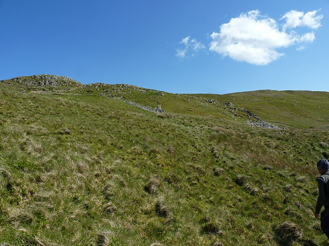
Ceunant Gorddinan is a haven for outdoor enthusiasts and nature lovers. The valley offers a range of activities, including hiking, rock climbing, and birdwatching. Several well-marked trails allow visitors to explore the valley and discover its hidden gems. The valley is also home to a rich variety of wildlife, including red squirrels, otters, and a wide range of bird species.
In addition to its natural beauty, Ceunant Gorddinan is steeped in history. The valley is dotted with ancient ruins and remnants of old settlements, serving as a testament to its rich past. The nearby town of Caernarfonshire offers a range of amenities for visitors, including accommodations, restaurants, and shops.
Whether you are seeking adventure or tranquility, Ceunant Gorddinan is a must-visit destination that will leave you in awe of its natural wonders and captivated by its timeless beauty.
If you have any feedback on the listing, please let us know in the comments section below.
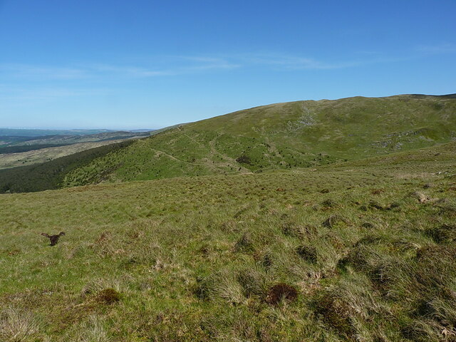
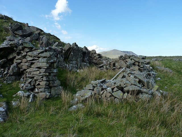
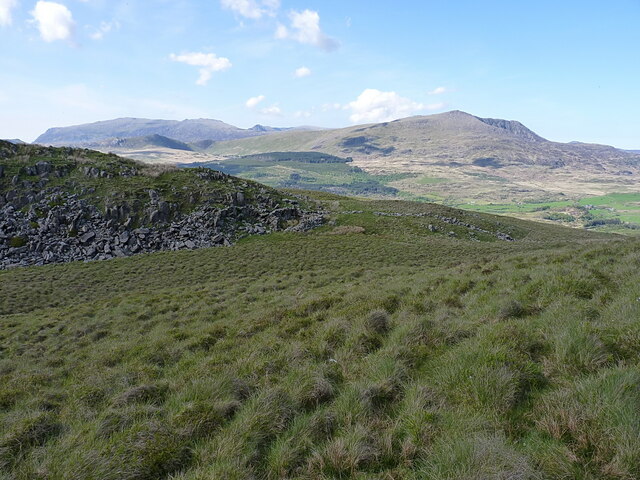
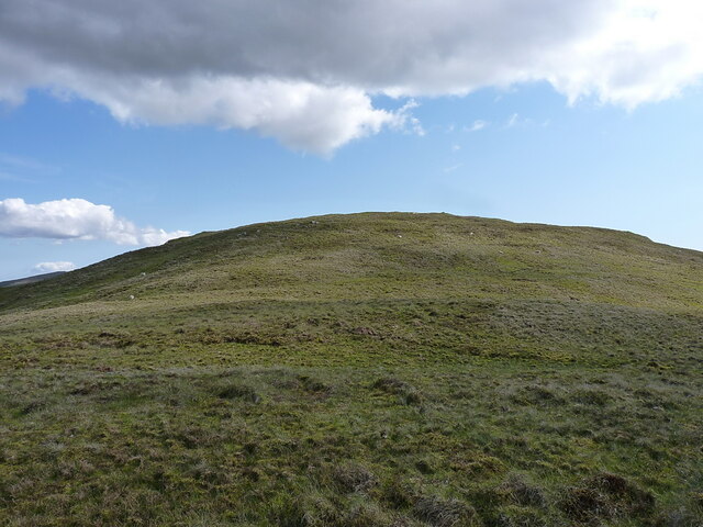
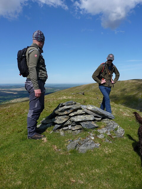
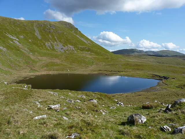
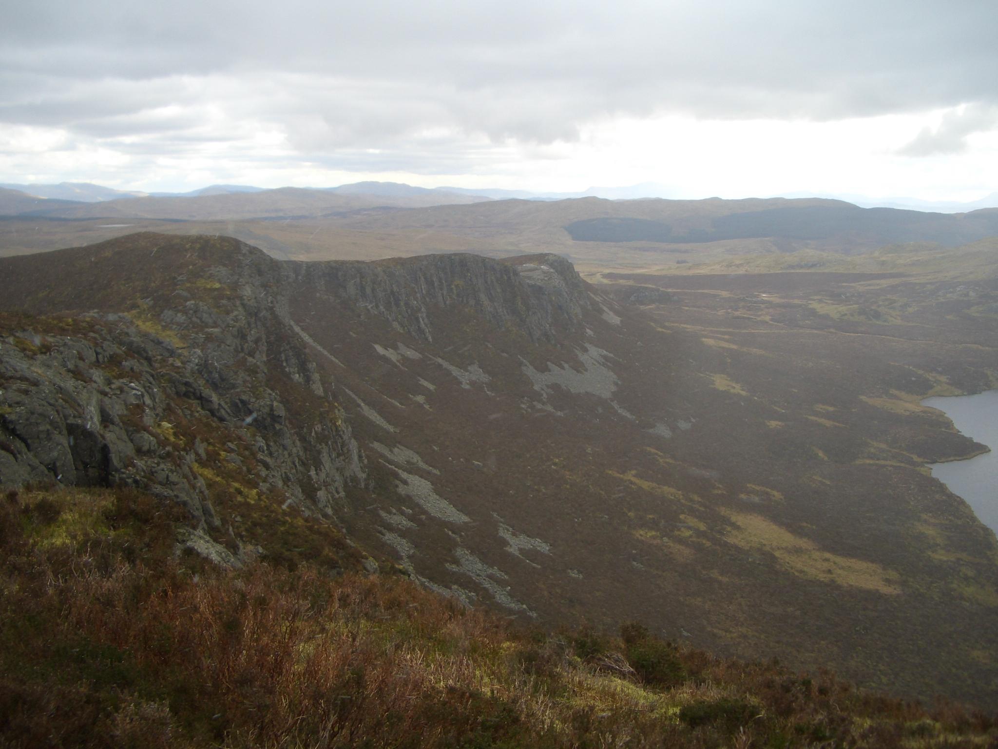
Ceunant Gorddinan Images
Images are sourced within 2km of 53.034502/-3.9241601 or Grid Reference SH7150. Thanks to Geograph Open Source API. All images are credited.


Ceunant Gorddinan is located at Grid Ref: SH7150 (Lat: 53.034502, Lng: -3.9241601)
Unitary Authority: Conwy
Police Authority: North Wales
What 3 Words
///presenter.flexed.medium. Near Blaenau-Ffestiniog, Gwynedd
Nearby Locations
Related Wikis
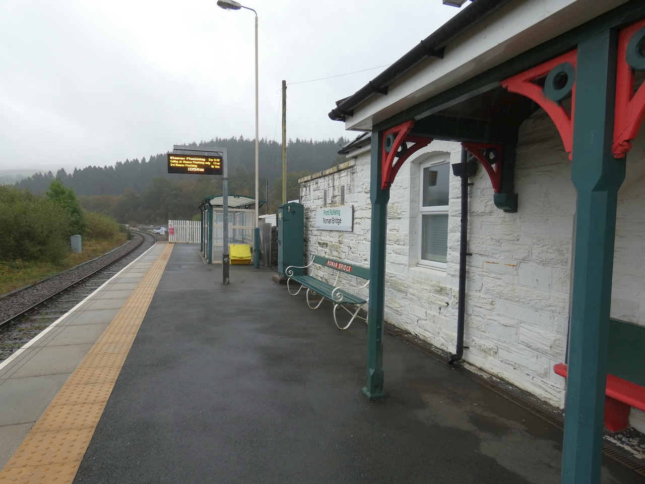
Roman Bridge railway station
Roman Bridge railway station (Welsh: Pont Rufeinig) is a request stop passenger station in the Lledr Valley, Wales, on the Conwy Valley Line from Llandudno...

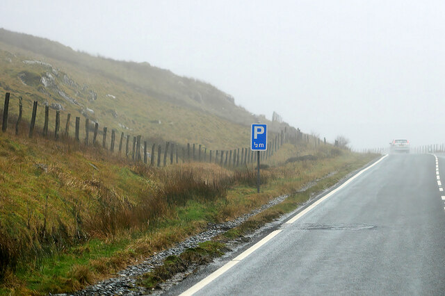
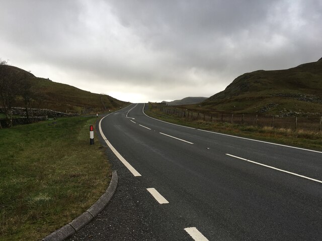
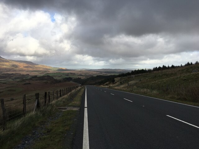
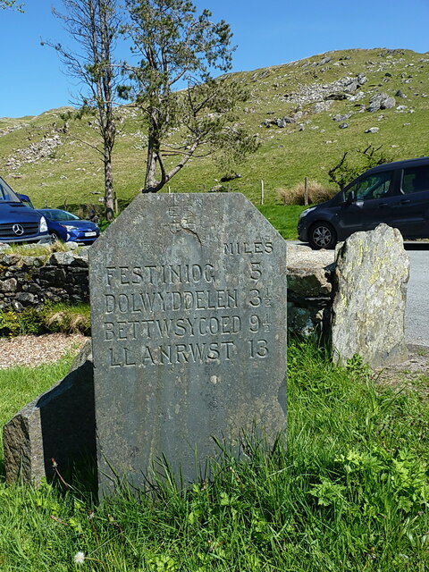
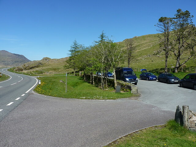
Crimea Pass
The Crimea Pass (Welsh: Bwlch y Gorddinan) is a mountain pass in North Wales, on the A470 road between Blaenau Ffestiniog and Dolwyddelan connecting the...

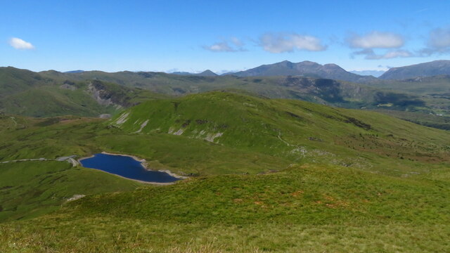
Moel Penamnen
Moel Penamnen is a mountain just north of Blaenau Ffestiniog, North Wales and forms part of the Moelwynion. It may be climbed from the Crimea Pass via...
Y Gamallt
Y Gamallt is a mountain located in the Migneint in Snowdonia, North Wales. It forms part of the Arenig mountain range being separated from the Moelwynion...
Nearby Amenities
Located within 500m of 53.034502,-3.9241601Have you been to Ceunant Gorddinan?
Leave your review of Ceunant Gorddinan below (or comments, questions and feedback).