Ceunant Ty'n-y-ddôl
Valley in Caernarfonshire
Wales
Ceunant Ty'n-y-ddôl

Ceunant Ty'n-y-ddôl is a picturesque valley located in Caernarfonshire, Wales. Nestled within the Snowdonia National Park, this valley offers breathtaking natural beauty and a tranquil atmosphere for visitors and locals alike.
The valley is characterized by its steep slopes, dense woodlands, and a river that flows through its heart. The river, known as Afon Gwyrfai, cascades down the mountainside, creating stunning waterfalls and glistening pools along its course. The combination of the lush vegetation, rocky outcrops, and the sound of rushing water creates a serene and idyllic setting.
Ceunant Ty'n-y-ddôl is a haven for wildlife enthusiasts and nature lovers. The valley is home to a diverse range of flora and fauna, including rare species of birds, butterflies, and wildflowers. Hikers and walkers can explore the numerous trails that wind through the valley, offering stunning views of the surrounding mountains and valleys.
For those seeking adventure, Ceunant Ty'n-y-ddôl also offers opportunities for outdoor activities such as rock climbing, abseiling, and canyoning. The challenging terrain and natural features of the valley make it an ideal location for adrenaline-fueled pursuits.
In addition to its natural beauty, Ceunant Ty'n-y-ddôl has a rich history and cultural heritage. The valley is dotted with ancient ruins, including old mines and quarries, which tell the story of its industrial past. The local community takes pride in preserving and sharing this history with visitors.
Overall, Ceunant Ty'n-y-ddôl is a hidden gem within Caernarfonshire, offering a perfect blend of natural beauty, outdoor activities, and cultural heritage. It is a place where visitors can escape the hustle and bustle of everyday life and immerse themselves in the tranquility of nature.
If you have any feedback on the listing, please let us know in the comments section below.
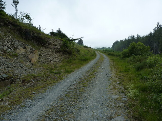
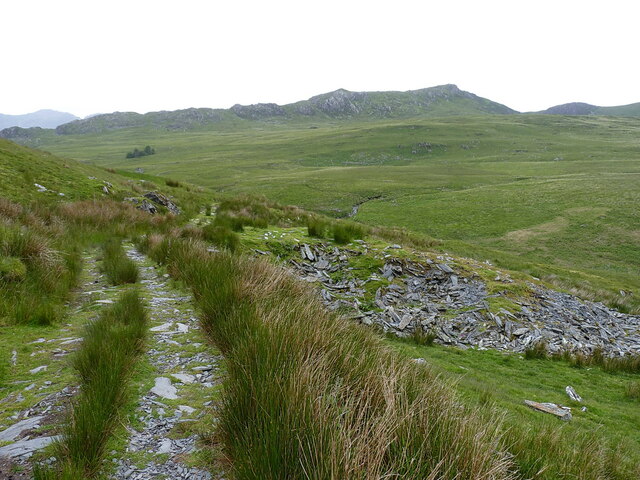
Ceunant Ty'n-y-ddôl Images
Images are sourced within 2km of 53.045989/-3.9485864 or Grid Reference SH6951. Thanks to Geograph Open Source API. All images are credited.


Ceunant Ty'n-y-ddôl is located at Grid Ref: SH6951 (Lat: 53.045989, Lng: -3.9485864)
Unitary Authority: Conwy
Police Authority: North Wales
What 3 Words
///crispier.good.than. Near Blaenau-Ffestiniog, Gwynedd
Nearby Locations
Related Wikis
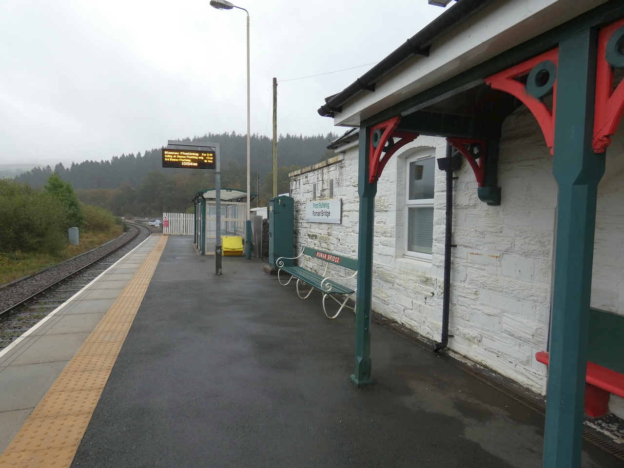
Roman Bridge railway station
Roman Bridge railway station (Welsh: Pont Rufeinig) is a request stop passenger station in the Lledr Valley, Wales, on the Conwy Valley Line from Llandudno...
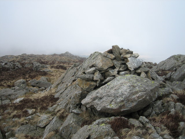
Yr Arddu (North)
Yr Arddu is a mountain summit found in the Moelwynion in Snowdonia; grid reference SH673507. The height of the summit above sea level is 589 meters (1932...

Moelwynion
The Moelwynion (a Welsh plural, sometimes anglicised to Moelwyns) are a group of mountains in central Snowdonia. They extend from the north-east of Porthmadog...

Crimea Pass
The Crimea Pass (Welsh: Bwlch y Gorddinan) is a mountain pass in North Wales, on the A470 road between Blaenau Ffestiniog and Dolwyddelan connecting the...
Nearby Amenities
Located within 500m of 53.045989,-3.9485864Have you been to Ceunant Ty'n-y-ddôl?
Leave your review of Ceunant Ty'n-y-ddôl below (or comments, questions and feedback).