Boreland Glen

Valley in Kirkcudbrightshire

Scotland

Boreland Glen

Rough grazing north of Parton Rough grazing land in the hills above Parton.
Rough grazing north of Parton Credit: Peter Mackenzie

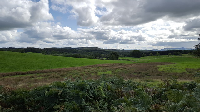
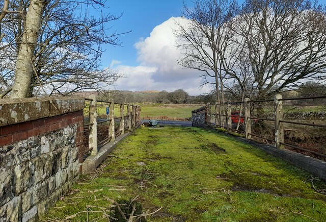
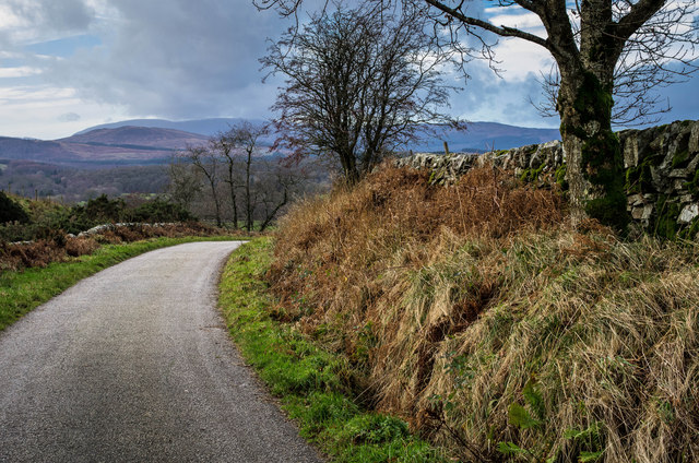
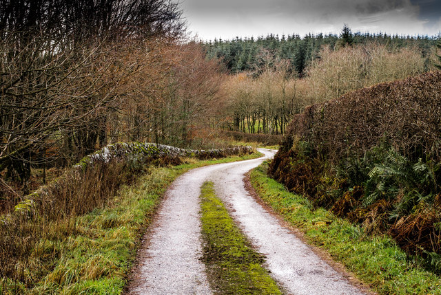
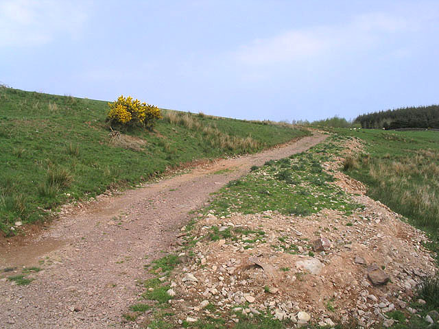
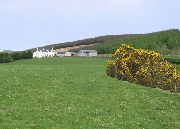
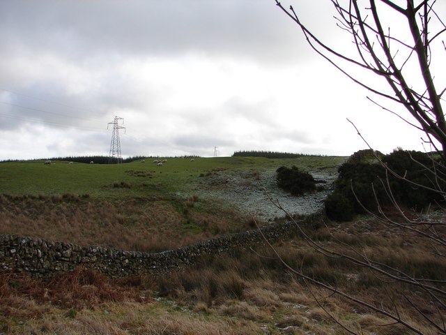
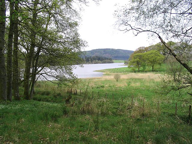
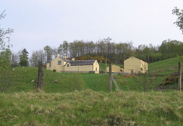
Boreland Glen is a picturesque valley located in Kirkcudbrightshire, Scotland. Situated in the southwest of the country, it is known for its stunning natural beauty and tranquil atmosphere. The glen is nestled between rolling hills and dense forests, offering visitors a peaceful escape from the hustle and bustle of city life.

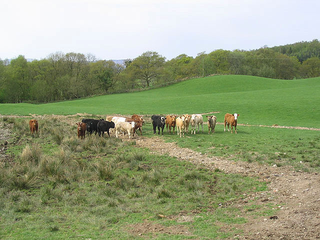
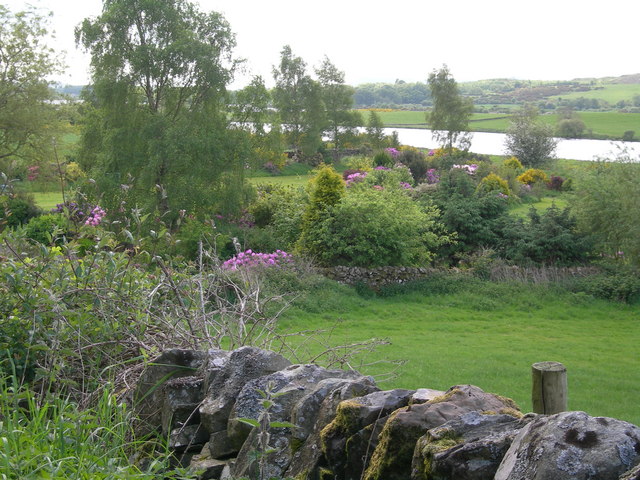
The valley is characterized by its lush greenery, with a variety of plant species thriving in the fertile soil. The glen is home to a diverse range of wildlife, including red deer, foxes, and a plethora of bird species. Nature enthusiasts will delight in exploring the numerous walking trails and observing the flora and fauna that call Boreland Glen their home.

The glen is also renowned for its historical significance. It is believed to have been inhabited since ancient times, with evidence of settlements dating back thousands of years. The remains of ancient buildings and stone circles can still be found scattered throughout the valley, giving visitors a glimpse into the region's rich history.

For those seeking outdoor activities, Boreland Glen offers opportunities for fishing in its clear streams, as well as camping and picnicking amid its scenic surroundings. The glen's tranquil atmosphere makes it an ideal location for those looking to unwind and reconnect with nature.

Overall, Boreland Glen in Kirkcudbrightshire is a hidden gem, offering visitors a chance to immerse themselves in the beauty of Scotland's natural landscapes and explore its rich historical heritage.

If you have any feedback on the listing, please let us know in the comments section below.

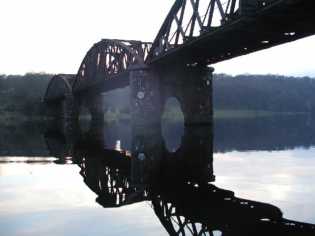
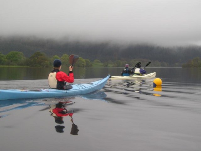
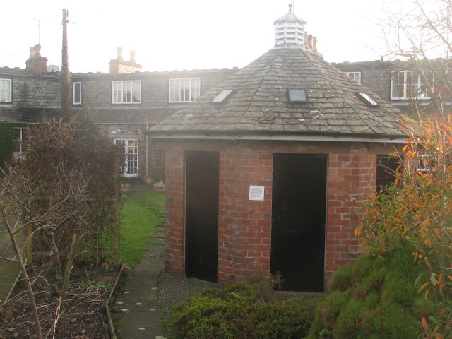
Boreland Glen Images

Images are sourced within 2km of 55.016887/-4.0458288 or Grid Reference NX6971. Thanks to Geograph Open Source API. All images are credited.

Rough grazing north of Parton Rough grazing land in the hills above Parton.
Rough grazing north of Parton
Rough grazing land in the hills above Parton.
Access bridge to fields An farm access bridge over a disused railway track near Parton.
Access bridge to fields
An farm access bridge over a disused railway track near Parton.
The road to Parton A downhill to Parton with the Glenkens beyond
The road to Parton
A downhill to Parton with the Glenkens beyond
Below Rumples Hill
Below Rumples Hill
Access track In a field east of Crow Hill.
Access track
In a field east of Crow Hill.
Diamonds Laggan Farm
View SE toward Glengunnoch Hill View from single track Parton-Knockvennie road east of Fominoch Wood. Sheep craze on the NW shoulder of Glengunnoch Hill Woods (just visible over rise). Overnight February snow is retreating into the shaded corners at noon.
View SE toward Glengunnoch Hill
View from single track Parton-Knockvennie road east of Fominoch Wood. Sheep craze on the NW shoulder of Glengunnoch Hill Woods (just visible over rise). Overnight February snow is retreating into the shaded corners at noon.
Overlaggan, Parton Overlaggan, a remote hill farm - caught by the camera during a brief sunny break in the March storms.
Overlaggan, Parton
Overlaggan, a remote hill farm - caught by the camera during a brief sunny break in the March storms.
Overlaggan Farm Track Viewing south-east toward Overlaggan Farm. Beyond is Barend Hill (189m).
Overlaggan Farm Track
Viewing south-east toward Overlaggan Farm. Beyond is Barend Hill (189m).
Parton The village of Parton.  The building with the clock tower is a self catering cottage.  In the garden of one of the cottages further on is a communal 8 seater privy (now unused)
Parton
The village of Parton. The building with the clock tower is a self catering cottage. In the garden of one of the cottages further on is a communal 8 seater privy (now unused)
Loch Ken Viaduct Former railway viaduct, now (sadly) in private hands and closed to walkers and cyclists.
Loch Ken Viaduct
Former railway viaduct, now (sadly) in private hands and closed to walkers and cyclists.
A group of kayakers paddling north on the Loch
Parton Privy Communal toilet block, for the row of eight cottages at Parton.  It is no longer used today for its original purpose.  One of the cubicals has been preserved.
Parton Privy
Communal toilet block, for the row of eight cottages at Parton. It is no longer used today for its original purpose. One of the cubicals has been preserved.
Loch Ken Viewed from the edge of a small wood near Drumrash.
Loch Ken
Viewed from the edge of a small wood near Drumrash.
Glenlaggan Buildings on Glenlaggan Park where there are lodges to buy or rent and caravan berths with spectacular views to Loch Ken and Galloway Forest Park.
Glenlaggan
Buildings on Glenlaggan Park where there are lodges to buy or rent and caravan berths with spectacular views to Loch Ken and Galloway Forest Park.
Cattle field Livestock viewed from a minor road at Fominoch.
Cattle field
Livestock viewed from a minor road at Fominoch.
Farmland near Overlaggan
Farmland, cottage gardens & Loch Ken
Show me another place!

Boreland Glen is located at Grid Ref: NX6971 (Lat: 55.016887, Lng: -4.0458288)

Unitary Authority: Dumfries and Galloway

Police Authority: Dumfries and Galloway

What 3 Words

///layers.game.apprehend. Near Castle Douglas, Dumfries & Galloway

Related Wikis

Parton railway station (Portpatrick and Wigtownshire Joint Railway)

Parton railway station served the hamlet of Parton, Dumfries and Galloway, Scotland, from 1861 to 1965 on the Portpatrick and Wigtownshire Joint Railway...

Parton, Dumfries and Galloway

Parton is a hamlet situated on the banks of the River Dee in the historical county of Kirkcudbrightshire, Dumfries and Galloway, Scotland. == Notable... ==

Loch Ken

Loch Ken is a 9 miles (14 km) long freshwater loch in the historic county of Kirkcudbrightshire in Dumfries and Galloway, Scotland. It lies in the Glenkens...

Airds of Kells

Airds of Kells is a farm and small estate in the historical county of Kirkcudbrightshire in the parish of Kells, Dumfries and Galloway, Scotland. The...

New Galloway railway station

New Galloway railway station served the town of New Galloway in Dumfries and Galloway, Scotland, from 1861 to 1965 on the Portpatrick and Wigtownshire...

Kirkcudbrightshire

Kirkcudbrightshire ( kur-KOO-brish-ər, -⁠eer; Scots: [kərˈku(d)brəʃər]), or the County of Kirkcudbright or the Stewartry of Kirkcudbright is one of the...

Ironmacannie Mill

Ironmacannie Mill is a historic watermill near Balmaclellan in Dumfries and Galloway, Scotland. Built in the 18th and 19th centuries, on the site of an...

Crossmichael Parish Church

Crossmichael Parish Church is an ecclesiastical building in Crossmichael, Dumfries and Galloway, Scotland. It lies on a knoll, which was probably an ancient...

Nearby Amenities

Located within 500m of 55.016887,-4.0458288
Power: tower
Lat/Long: 55.0200977/-4.0407455
Power: pole
Lat/Long: 55.02135/-4.0459971
Power: pole
Lat/Long: 55.0209132/-4.0450045
Power: pole
Lat/Long: 55.0203613/-4.0437707
Power: pole
Lat/Long: 55.0201141/-4.0432178
Power: pole
Lat/Long: 55.0196649/-4.042887
Power: pole
Lat/Long: 55.0188749/-4.0422865
Power: pole
Lat/Long: 55.0186794/-4.0405166
Power: pole
Lat/Long: 55.0193442/-4.0436148
Power: pole
Lat/Long: 55.0190425/-4.0443041
Power: pole
Lat/Long: 55.0191407/-4.0457107
Power: pole
Lat/Long: 55.0194838/-4.0473954
Power: pole
Lat/Long: 55.0196613/-4.0483199
Power: pole
Lat/Long: 55.0198519/-4.0492111
Power: pole
Lat/Long: 55.0187136/-4.0395161
The data included in this document is from www.openstreetmap.org. The data is made available under ODbL.

Have you been to Boreland Glen?

Leave your review of Boreland Glen below (or comments, questions and feedback).