Black Gully

Valley in Caernarfonshire

Wales

Black Gully

New gates at the leat The path to Pen yr Helgi Du crosses the path along the leat at this place.
New gates at the leat Credit: Hansjoerg Lipp

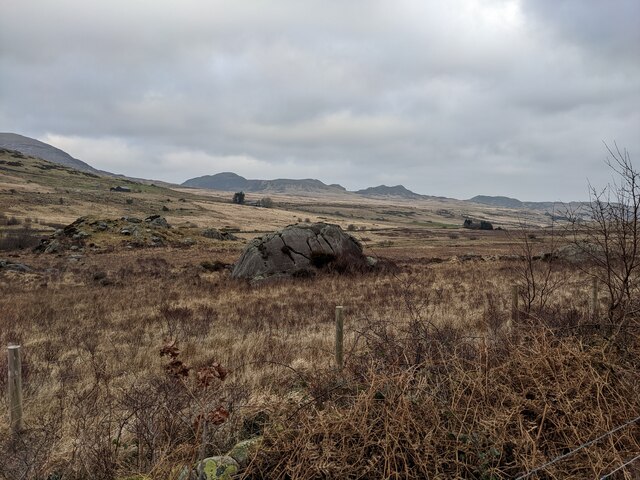
Black Gully is a picturesque valley located in the county of Caernarfonshire, Wales. Situated on the northern slopes of Snowdon, the highest mountain in Wales, it is renowned for its stunning natural beauty and rich historical significance.

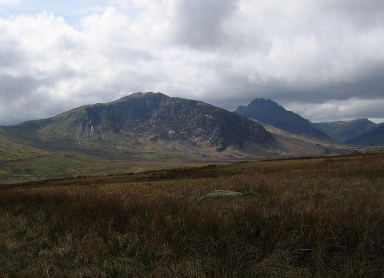
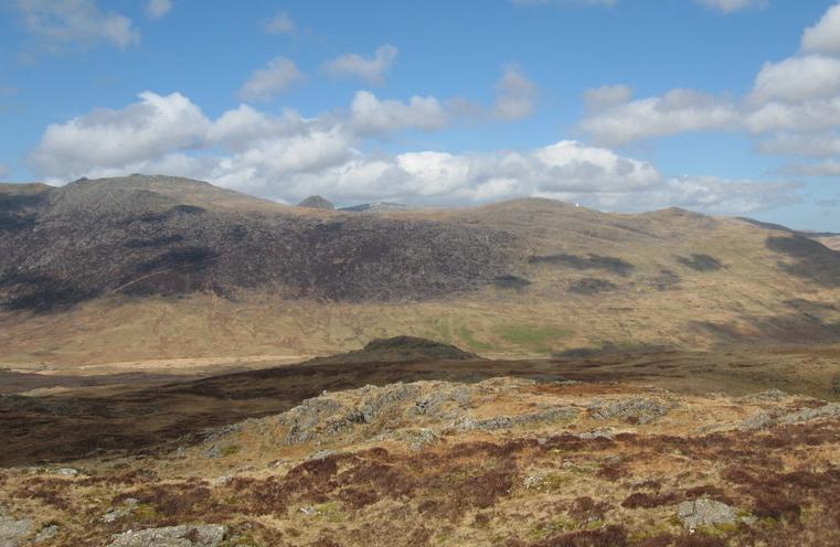
The valley is surrounded by lush green hills and offers breathtaking views of the Snowdonia National Park. It is home to a diverse range of flora and fauna, including rare alpine plants and various bird species, making it a haven for nature enthusiasts and birdwatchers.

In addition to its natural splendor, Black Gully holds great historical importance. It was once a thriving slate quarrying region, with evidence of past industrial activity still visible today. The remnants of quarry buildings and machinery serve as a reminder of the valley's industrial past.

The area also boasts an extensive network of footpaths and trails, making it a popular destination for hikers and walkers. One of the most renowned routes is the Rhyd Ddu Path, which leads to the summit of Snowdon and offers panoramic views of the surrounding landscape.

Visitors to Black Gully can enjoy a range of activities, including hiking, birdwatching, and photography. The valley provides a tranquil and idyllic setting for those seeking a peaceful escape from the hustle and bustle of everyday life.

Overall, Black Gully is a hidden gem that combines natural beauty with a rich history, making it a must-visit destination for both nature lovers and history enthusiasts.

If you have any feedback on the listing, please let us know in the comments section below.

Black Gully Images

Images are sourced within 2km of 53.118203/-3.9572464 or Grid Reference SH6959. Thanks to Geograph Open Source API. All images are credited.

New gates at the leat The path to Pen yr Helgi Du crosses the path along the leat at this place.
New gates at the leat
The path to Pen yr Helgi Du crosses the path along the leat at this place.
The col between Y Foel Goch and Gallt yr Ogof
Nant yr Ogof between Gallt yr Ogof and Tryfan Bach Directly ahead, across the Llugwy Valley, is the Dwr Cymru (Welsh Water) road leading to the Llyn Llugwy Reservoir high in the Carneddau. Nant yr Ogof means 'valley of the cave'.
Nant yr Ogof between Gallt yr Ogof and Tryfan Bach
Directly ahead, across the Llugwy Valley, is the Dwr Cymru (Welsh Water) road leading to the Llyn Llugwy Reservoir high in the Carneddau. Nant yr Ogof means 'valley of the cave'.
An erratic boulder in Cwm Nant-y-Benglog The river is the Afon Llugwy, but the area is historically Cwm Nant-y-Benglog (the valley of the stream of the skull) and is still shown as that on the modern OS map.
An erratic boulder in Cwm Nant-y-Benglog
The river is the Afon Llugwy, but the area is historically Cwm Nant-y-Benglog (the valley of the stream of the skull) and is still shown as that on the modern OS map.
The Byway in Cwm Nant-y-Benglog
The crags of Gallt yr Ogof The OS map shows a cave somewhere amongst those crags.  Gallt yr Ogof means Hill of the Cave so it must be significant, if hard to spot.
The crags of Gallt yr Ogof
The OS map shows a cave somewhere amongst those crags. Gallt yr Ogof means Hill of the Cave so it must be significant, if hard to spot.
The track in Cwm Nant y Benglog Technically this is a Restricted Byway (no motorised vehicles). Just as well or it would be chewed up by 4 x 4s, as has happened in other places.
The track in Cwm Nant y Benglog
Technically this is a Restricted Byway (no motorised vehicles). Just as well or it would be chewed up by 4 x 4s, as has happened in other places.
Bwlch Goleuni A view of the track running across Bwlch Goleuni towards Cefn y Capel.
Bwlch Goleuni
A view of the track running across Bwlch Goleuni towards Cefn y Capel.
Outcrop of cleaved mudstones Rock outcrop is rare, but increases westwards towards Foel Goch. The rock exposed here is a slatey mudstone of the Cwm Eigiau Formation (Ordovician, Soudleyan to Longvillian).
Outcrop of cleaved mudstones
Rock outcrop is rare, but increases westwards towards Foel Goch. The rock exposed here is a slatey mudstone of the Cwm Eigiau Formation (Ordovician, Soudleyan to Longvillian).
Glacial erratic boulder A fine, tabular erratic boulder of rhyolite or tuff lying on the otherwise rather featureless moorland above Dyffryn Mymbyr. There is no heather here as the ground is boggy, and dominated by tussocky grass which is difficult to cross.
Glacial erratic boulder
A fine, tabular erratic boulder of rhyolite or tuff lying on the otherwise rather featureless moorland above Dyffryn Mymbyr. There is no heather here as the ground is boggy, and dominated by tussocky grass which is difficult to cross.
Pair of erratic boulders Two fine glacially-derived boulders on the featureless, boggy moorland. Both appear to be of rhyolitic tuff (see also <a href="https://www.geograph.org.uk/photo/7129952">SH6957 : Glacial erratic boulder</a>) which is of interest because rocks of this type are dominant at higher elevation on Foel Goch and Glyder Fach. This suggests an easterly flow of ice in Dyffryn Mymbyr, which fits with accepted models.
Pair of erratic boulders
Two fine glacially-derived boulders on the featureless, boggy moorland. Both appear to be of rhyolitic tuff (see also SH6957 : Glacial erratic boulder) which is of interest because rocks of this type are dominant at higher elevation on Foel Goch and Glyder Fach. This suggests an easterly flow of ice in Dyffryn Mymbyr, which fits with accepted models.
Gwern Gôf Isaf Panorama Dyffryn Ogwen shortly after sunrise.  This is a 360° panorama centred approximately north-west.  From the left, the mountains are the Glyderau, Tryfan and the Carneddau.  The bunkhouse at Gwern Gôf Isaf is in the foreground.
Gwern Gôf Isaf Panorama
Dyffryn Ogwen shortly after sunrise. This is a 360° panorama centred approximately north-west. From the left, the mountains are the Glyderau, Tryfan and the Carneddau. The bunkhouse at Gwern Gôf Isaf is in the foreground.
Nant Gwern y Gof Frozen Nant Gwern y Gof, looking north from the bridge towards the A5 and the Carneddau range.
Nant Gwern y Gof
Frozen Nant Gwern y Gof, looking north from the bridge towards the A5 and the Carneddau range.
Nant Gwern y Gof Frozen Nant Gwern y Gof, looking south from the bridge towards the Glyderau range.
Nant Gwern y Gof
Frozen Nant Gwern y Gof, looking south from the bridge towards the Glyderau range.
Artificial Water Channel East along the unnamed channel from the footbridge.
Artificial Water Channel
East along the unnamed channel from the footbridge.
Artificial Water Channel West along the unnamed channel from near the footbridge, towards Tryfan and the Carneddau, and Llyn Ogwen between them.
Artificial Water Channel
West along the unnamed channel from near the footbridge, towards Tryfan and the Carneddau, and Llyn Ogwen between them.
Hen bompren/ old footbridge Hen bompren yn rhychwantu gwter ar heol werdd sy'n cysylltu Ffermydd Gwern Gof Isaf a Gwern Gof Uchaf. Mae'r llwybr dros y bont yn arwain at Bont Rhyd Goch a phriffordd yr A5 lle ceir capel gerllaw. 

An old wooden footbridge spanning a small watercourse on a green lane linking the farms of Gwern Gof Uchaf and Gwern Gof Isaf. The path crossing the footbridge leads to Pont Rhyd Goch Bridge and the A5 highway where there is a chapel nearby.
Hen bompren/ old footbridge
Hen bompren yn rhychwantu gwter ar heol werdd sy'n cysylltu Ffermydd Gwern Gof Isaf a Gwern Gof Uchaf. Mae'r llwybr dros y bont yn arwain at Bont Rhyd Goch a phriffordd yr A5 lle ceir capel gerllaw. An old wooden footbridge spanning a small watercourse on a green lane linking the farms of Gwern Gof Uchaf and Gwern Gof Isaf. The path crossing the footbridge leads to Pont Rhyd Goch Bridge and the A5 highway where there is a chapel nearby.
Tryfan, from near Gwern Gôf Isaf Taken from the same spot as <a href="https://www.geograph.org.uk/photo/1092405">SH6860 : View towards Tryfan from Gwern Gôf Isaf</a>, this time on a dull February day, mild but with the mountain still iced up.
Tryfan, from near Gwern Gôf Isaf
Taken from the same spot as SH6860 : View towards Tryfan from Gwern Gôf Isaf, this time on a dull February day, mild but with the mountain still iced up.
Show me another place!

Black Gully is located at Grid Ref: SH6959 (Lat: 53.118203, Lng: -3.9572464)

Unitary Authority: Conwy

Police Authority: North Wales

What 3 Words

///venturing.juggles.common. Near Bethesda, Gwynedd

Nearby Locations

Black Gully Green Gully

Related Wikis

Gallt yr Ogof

Gallt yr Ogof is a mountain in Snowdonia, North Wales. It is a subsidiary top of Glyder Fawr, and is the most easterly point in the Glyderau mountain range...

Y Foel Goch

Y Foel Goch is a mountain in Snowdonia, north-west Wales, and is a sister peak along with Gallt yr Ogof to Glyder Fach. Between Glyder Fach and its summit...

Dyffryn Mymbyr

Dyffryn Mymbyr is a valley in Snowdonia, in north-west Wales, approximately 5 miles (8.0 km) in length, and leading up from Capel Curig to the Pen-y-Gwryd...
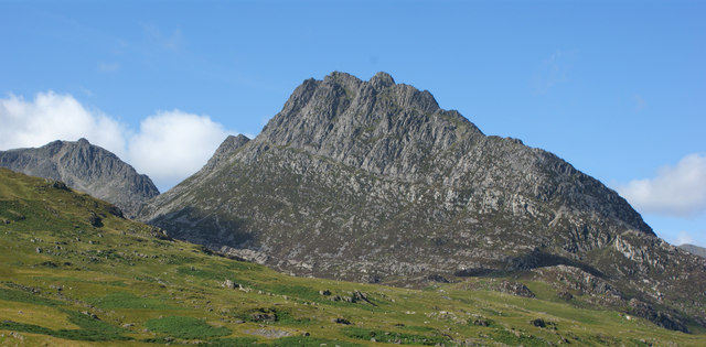
Tryfan

Tryfan (Welsh pronunciation: [ˈtrəvan]) is a mountain in the Ogwen Valley, Snowdonia, Wales. It forms part of the Glyderau group, and is one of the most...

Nearby Amenities

Located within 500m of 53.118203,-3.9572464
Power: pole
Lat/Long: 53.1223248/-3.9576195
Power: pole
Lat/Long: 53.1217542/-3.9609897
Power: pole
Lat/Long: 53.1218685/-3.9598779
Power: pole
Lat/Long: 53.1220053/-3.9587192
The data included in this document is from www.openstreetmap.org. The data is made available under ODbL.

Have you been to Black Gully?

Leave your review of Black Gully below (or comments, questions and feedback).