Coire na h-Iolaire
Valley in Ross-shire
Scotland
Coire na h-Iolaire

Coire na h-Iolaire is a stunning valley located in Ross-shire, in the Scottish Highlands. Nestled amidst the majestic peaks of the Northwest Highlands, this valley offers breathtaking natural beauty and a tranquil atmosphere.
The name Coire na h-Iolaire translates to "Valley of the Eagles," and it aptly describes the abundant wildlife that can be found here. The valley is home to a diverse array of flora and fauna, including golden eagles, which can often be spotted soaring above the rugged cliffs. It is a haven for nature enthusiasts and birdwatchers alike.
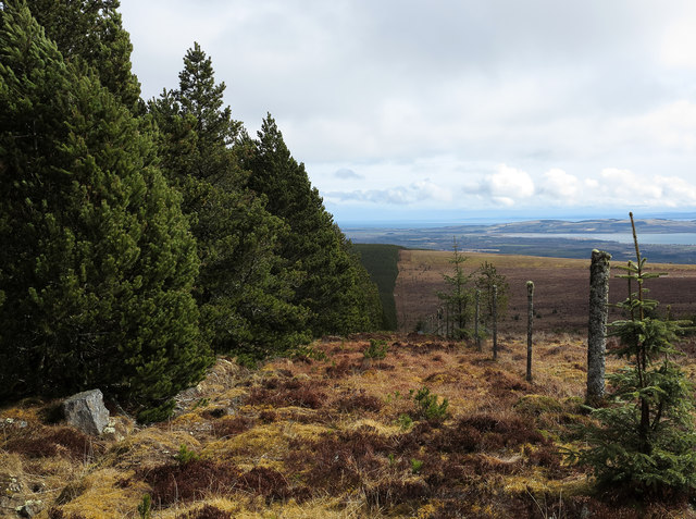
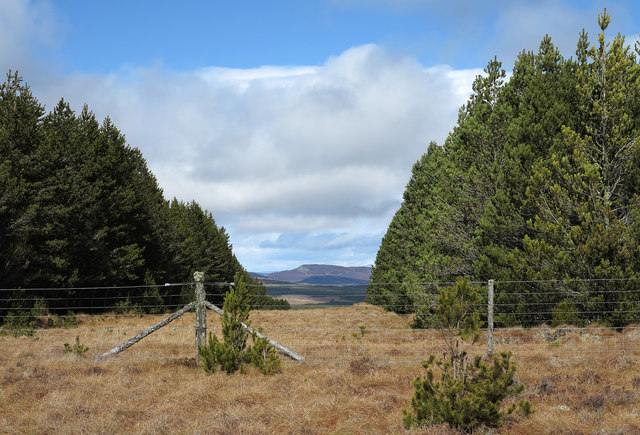
The landscape of Coire na h-Iolaire is characterized by its dramatic features. Towering mountains surround the valley, with steep slopes covered in heather and grasses. The valley floor is carved out by a meandering river, which adds to the picturesque scenery. The river is fed by mountain streams and cascades down in beautiful waterfalls.
For those who enjoy outdoor activities, Coire na h-Iolaire offers ample opportunities for hiking and exploring. Numerous hiking trails crisscross the valley, providing access to hidden waterfalls, serene lochs, and panoramic viewpoints. The terrain can be challenging, but the rewards are immense for those who venture out, with awe-inspiring vistas at every turn.
Coire na h-Iolaire is also steeped in history. The valley has witnessed human habitation for thousands of years, with evidence of ancient settlements and burial sites. It is an area rich in folklore and legends, adding to its mystique.
In summary, Coire na h-Iolaire is a captivating valley in Ross-shire, Scotland. Its breathtaking scenery, abundant wildlife, and rich history make it a must-visit destination for nature lovers and adventurers seeking to immerse themselves in the beauty of the Scottish Highlands.
If you have any feedback on the listing, please let us know in the comments section below.
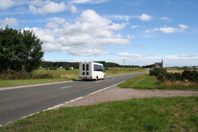
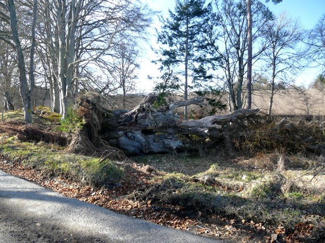
Coire na h-Iolaire Images
Images are sourced within 2km of 57.758036/-4.235433 or Grid Reference NH6776. Thanks to Geograph Open Source API. All images are credited.


Coire na h-Iolaire is located at Grid Ref: NH6776 (Lat: 57.758036, Lng: -4.235433)
Unitary Authority: Highland
Police Authority: Highlands and Islands
What 3 Words
///lands.auctioned.escalates. Near Alness, Highland
Nearby Locations
Related Wikis

B9176 road
The B9176 also known as the "Struie" is a 15-mile-long (24 km) road from Alness to Bonar Bridge. in the Scottish Highlands. This road is the main road...
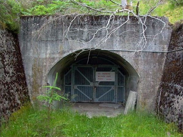
Inchindown oil tanks
The Inchindown oil tanks is a disused underground oil depot in Invergordon, Ross-shire, Scotland. The tanks hold the record for the longest reverberation...

Strathy, Ardross
Strathy (Scottish Gaelic: An t-Srathaidh, "small strath") is a strath in the Highlands of Scotland, forming the Northern part of the area known as Ardross...

Loch Achnacloich
Loch Achnacloich is a very shallow loch located about 4 kilometres (2.5 mi) north of Alness in Ross and Cromarty, Scottish Highlands, Scotland. == Geography... ==
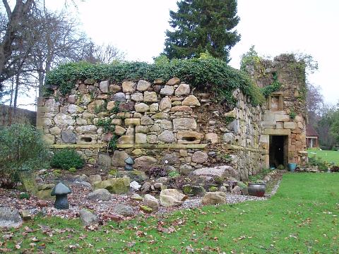
Newmore Castle
Newmore Castle is situated just north of the town of Alness in Ross and Cromarty, Highland, Scotland. == Architecture == The castle is now a ruin. It was...

Achandunie
Achandunie (Scottish Gaelic: Achadh an Dùnaidh) is a village north of Alness in Ross-shire in the Scottish council area of the Highland. The village lies...
Achnagarron
Achnagarron (Scottish Gaelic: Achadh nan Gearran) is a small village in the Scottish council area of Highland. Achnagarron lies on the northern side of...
Delny
Delny (Scottish Gaelic: Deilgnidh) is a small hamlet in the parish of Kilmuir-Easter in Ross-shire, Scotland. It was the site of a castle, that was once...
Have you been to Coire na h-Iolaire?
Leave your review of Coire na h-Iolaire below (or comments, questions and feedback).