Coire na Seilge
Valley in Sutherland
Scotland
Coire na Seilge

Coire na Seilge is a picturesque valley located in the Sutherland region of the Scottish Highlands. Nestled amidst the rugged and remote landscape, this valley is a nature lover's paradise. The name "Coire na Seilge" translates to "Valley of the Hunt" in Gaelic, which hints at its historical significance as a hunting ground.
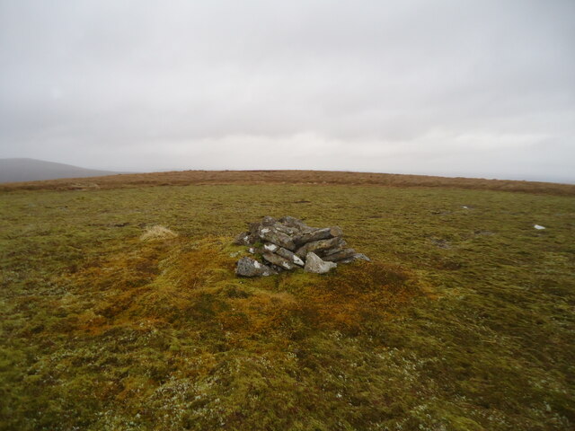
Surrounded by towering mountains and rolling hills, Coire na Seilge offers breathtaking views and a sense of tranquility. The valley is characterized by stunning lochs, dense forests, and meandering rivers. The landscape is dotted with heather moorland and scattered with rocks and boulders, giving it a wild and untamed appearance.
The valley is home to an array of wildlife, including red deer, mountain hares, and golden eagles. It is also a habitat for numerous plant species, such as heather, mosses, and wildflowers, which add to the valley's natural beauty.
Coire na Seilge is a popular destination for outdoor enthusiasts and hikers. There are several trails that allow visitors to explore the valley and its surroundings. One of the most famous trails is the path that leads to Loch Choire. This stunning loch, nestled within the valley, offers opportunities for fishing and boating.
The valley's remote location and untouched beauty make it a perfect spot for those seeking solitude and a connection with nature. Coire na Seilge truly encapsulates the rugged charm and natural splendor of the Scottish Highlands.
If you have any feedback on the listing, please let us know in the comments section below.
Coire na Seilge Images
Images are sourced within 2km of 58.204566/-4.306937 or Grid Reference NC6426. Thanks to Geograph Open Source API. All images are credited.


Coire na Seilge is located at Grid Ref: NC6426 (Lat: 58.204566, Lng: -4.306937)
Unitary Authority: Highland
Police Authority: Highlands and Islands
What 3 Words
///kiosk.fault.position. Near Altnaharra, Highland
Nearby Locations
Related Wikis
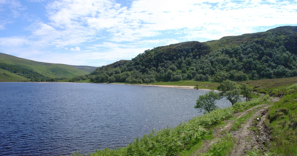
Loch Choire
Loch Choire is a loch in Sutherland in the Highland council area of northern Scotland. It is located at the end of a rural street which links the loch...
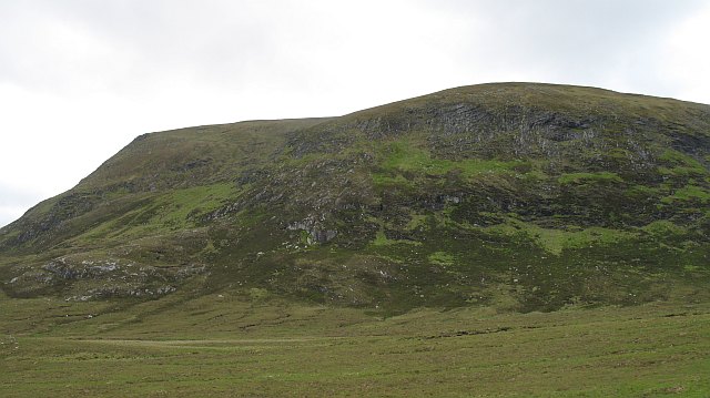
Ben Armine
Ben Armine (705 m) is a remote hill in Sutherland in the far north of Scotland. It lies in inland, north of the village of Lairg. The best known summit...
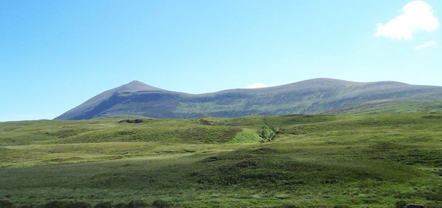
Ben Klibreck
Ben Klibreck (Scottish Gaelic: Beinn Clìbric) is a Scottish mountain located in central Sutherland. It is an isolated mountain, rising above a large area...
Have you been to Coire na Seilge?
Leave your review of Coire na Seilge below (or comments, questions and feedback).