Landbeach

Settlement in Cambridgeshire South Cambridgeshire

England

Landbeach

Landbeach, All Saints <span class="nowrap"><a title="http://www.druidic.org/camchurch/churches/landbeach.htm" rel="nofollow ugc noopener" href="http://www.druidic.org/camchurch/churches/landbeach.htm">Link</a><img style="margin-left:2px;" alt="External link" title="External link - shift click to open in new window" src="https://s1.geograph.org.uk/img/external.png" width="10" height="10"/></span>
Landbeach, All Saints Credit: mym

Landbeach is a quaint village located in the county of Cambridgeshire, England. Situated just six miles north of the city of Cambridge, Landbeach is known for its picturesque countryside and historical charm. Covering an area of approximately 2.5 square miles, the village has a population of around 1,500 residents.

The village is steeped in history, with evidence of human habitation dating back to the Roman times. It was mentioned in the Domesday Book of 1086 as "Lanbece", highlighting its long-standing significance. Today, the village retains a strong sense of its past, with several listed buildings and a conservation area preserving its architectural heritage.

Landbeach offers a tranquil and idyllic lifestyle, making it a popular choice among those seeking a quiet retreat from the bustling city life. The village is surrounded by lush green fields and meadows, providing ample opportunities for scenic walks and outdoor leisure activities.

Despite its small size, Landbeach boasts a strong sense of community spirit. The village has a primary school, a church, a community center, and a local pub, serving as social hubs for residents. There are also various clubs and societies catering to different interests, ensuring a vibrant social scene.

Transport links to and from Landbeach are convenient, with regular bus services connecting the village to Cambridge and neighboring towns. The village is also well-connected by road, with the A10 highway passing nearby, providing easy access to major cities like London.

In summary, Landbeach is a charming and historic village offering a peaceful and close-knit community lifestyle, all within close proximity to the vibrant city of Cambridge.

If you have any feedback on the listing, please let us know in the comments section below.
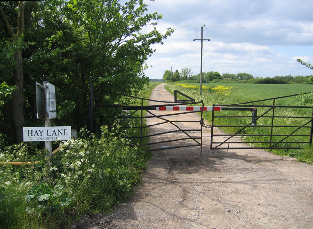
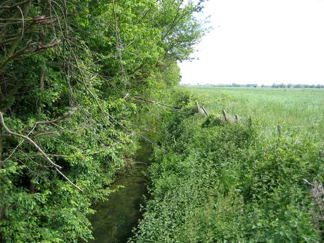
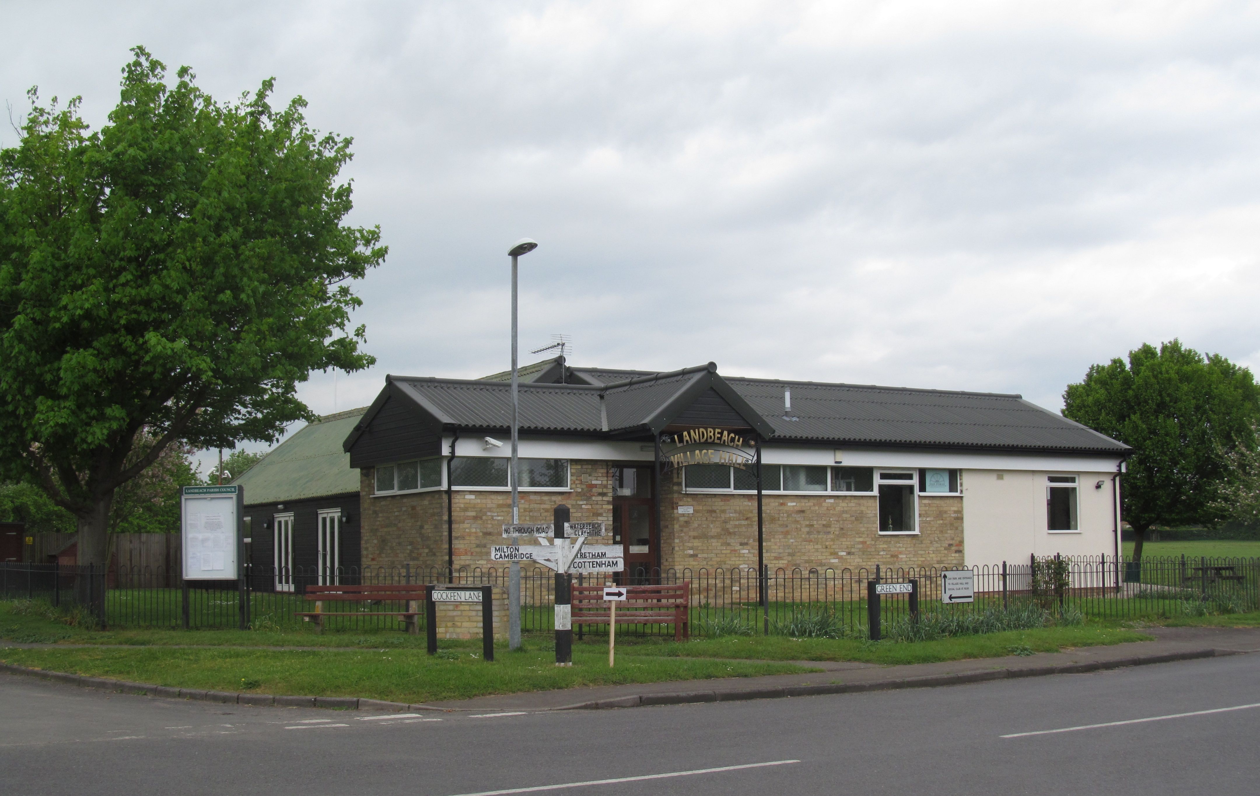
Landbeach Images

Images are sourced within 2km of 52.263217/0.162781 or Grid Reference TL4764. Thanks to Geograph Open Source API. All images are credited.

Landbeach, All Saints <span class="nowrap"><a title="http://www.druidic.org/camchurch/churches/landbeach.htm" rel="nofollow ugc noopener" href="http://www.druidic.org/camchurch/churches/landbeach.htm">Link</a><img style="margin-left:2px;" alt="External link" title="External link - shift click to open in new window" src="https://s1.geograph.org.uk/img/external.png" width="10" height="10"/></span>
Landbeach, All Saints
Car Dyke at Waterbeach Part of a Roman canal system. This section would have linked the rivers Cam and Great Ouse, but further north the Car Dyke extended to Lincoln, while other canals may have extended the system as far as York. Picture taken from the Waterbeach end looking towards the railway and the Cam.
Car Dyke at Waterbeach
Part of a Roman canal system. This section would have linked the rivers Cam and Great Ouse, but further north the Car Dyke extended to Lincoln, while other canals may have extended the system as far as York. Picture taken from the Waterbeach end looking towards the railway and the Cam.
Waterbeach Baptist Church A barn-like brick structure typical of Victorian non-conformist churches. (Someone will tell me if there's a more accurate architectural term for this style.) Known as Spurgeon's Chapel, the Victorian Baptist preacher Charles Spurgeon preached here on a number of occasions. Originally the windows to the right and left of the doorway ran the whole height of the wall and were not bricked up in the middle. (Thanks to a site user for the extra information.)
Waterbeach Baptist Church
A barn-like brick structure typical of Victorian non-conformist churches. (Someone will tell me if there's a more accurate architectural term for this style.) Known as Spurgeon's Chapel, the Victorian Baptist preacher Charles Spurgeon preached here on a number of occasions. Originally the windows to the right and left of the doorway ran the whole height of the wall and were not bricked up in the middle. (Thanks to a site user for the extra information.)
Milton cemetery Presumably an overflow for the churchyard in the village (see <a href="https://www.geograph.org.uk/photo/3309">TL4862 : Milton, All Saints</a>).
Milton cemetery
Presumably an overflow for the churchyard in the village (see TL4862 : Milton, All Saints).
Landbeach and Milton Baptist Church A smaller version of its counterpart in Waterbeach (<a href="https://www.geograph.org.uk/photo/36455">TL4965 : Waterbeach Baptist Church</a>), and built in 1851. The Baptist church seems to have quite a strong presence in the villages around Cambridge.
Landbeach and Milton Baptist Church
A smaller version of its counterpart in Waterbeach (TL4965 : Waterbeach Baptist Church), and built in 1851. The Baptist church seems to have quite a strong presence in the villages around Cambridge.
Bungalows in Landbeach A long line of neat bungalows on the road between Landbeach and Waterbeach.
Bungalows in Landbeach
A long line of neat bungalows on the road between Landbeach and Waterbeach.
Disused garden centre by the A10 This looks a bit run-down, but it's being offered to let and there's a healthy crop of Christmas trees growing in an adjacent field, so maybe it'll be revived.
Disused garden centre by the A10
This looks a bit run-down, but it's being offered to let and there's a healthy crop of Christmas trees growing in an adjacent field, so maybe it'll be revived.
Milton bypass The A10 bypass, built in the late 1970s, curves away from the old straight road into Milton village. The trees alongside it are just beginning to change colour.
Milton bypass
The A10 bypass, built in the late 1970s, curves away from the old straight road into Milton village. The trees alongside it are just beginning to change colour.
Beach Lode, Landbeach The building is New Farm, the road is Green End, and the ditch is Beach Lode. The road crosses the ditch by the 'sharp bend' sign in the distance. Beach Lode is medieval or earlier and was once used by goods barges.
Beach Lode, Landbeach
The building is New Farm, the road is Green End, and the ditch is Beach Lode. The road crosses the ditch by the 'sharp bend' sign in the distance. Beach Lode is medieval or earlier and was once used by goods barges.
Sign at entrance to Emmaus, Landbeach Emmaus is a charity that helps formerly homeless people to earn a living by repairing and selling donated items. The Cambridge site (actually in Green End, Landbeach, next to the A10) opened in 1992 and was the first Emmaus site in the UK.
Sign at entrance to Emmaus, Landbeach
Emmaus is a charity that helps formerly homeless people to earn a living by repairing and selling donated items. The Cambridge site (actually in Green End, Landbeach, next to the A10) opened in 1992 and was the first Emmaus site in the UK.
Car Dyke A view of Car Dyke taken on a mid spring afternoon in 2006.
Car Dyke
A view of Car Dyke taken on a mid spring afternoon in 2006.
Signs to Car Dyke Sign to Car Dyke close to the recreation ground car park.
Signs to Car Dyke
Sign to Car Dyke close to the recreation ground car park.
Car Dyke With my back to the main feature clearly seen in the landscape, the Roman canal disappears into the modern day development of the village.
Car Dyke
With my back to the main feature clearly seen in the landscape, the Roman canal disappears into the modern day development of the village.
Farmland near Punch Farm, Landbeach Taken from just off the byway that follows the course of an old Roman road, just north of Cambridge.
Farmland near Punch Farm, Landbeach
Taken from just off the byway that follows the course of an old Roman road, just north of Cambridge.
Hay Lane, Cottenham, Cambs an unadopted track with locked gates; view from its junction with Beach Road.
Hay Lane, Cottenham, Cambs
an unadopted track with locked gates; view from its junction with Beach Road.
Beach Ditch, between Cottenham and Landbeach, Cambs The parish boundaries in the fens were mostly fixed only in the 13th century; intercommonable pastures between Cottenham and Landbeach were divided in 1235 when the straight Beach Ditch was dug.
Beach Ditch, between Cottenham and Landbeach, Cambs
The parish boundaries in the fens were mostly fixed only in the 13th century; intercommonable pastures between Cottenham and Landbeach were divided in 1235 when the straight Beach Ditch was dug.
Permissive footpath, Landbeach, Cambs between Akeman Street Roman Road and Rectory Farm; one of the newly created conservation walks for the enjoyment of hedgerows and field grass margins that are being sympathetically managed to provide habitats for wildlife.  See defra <span class="nowrap"><a title="http://countrywalks.defra.gov.uk/DisplayImage.aspx?Type=Mapboard&IFN=051560010.pdf" rel="nofollow ugc noopener" href="http://countrywalks.defra.gov.uk/DisplayImage.aspx?Type=Mapboard&IFN=051560010.pdf">Link</a><img style="margin-left:2px;" alt="External link" title="External link - shift click to open in new window" src="https://s1.geograph.org.uk/img/external.png" width="10" height="10"/></span>
Permissive footpath, Landbeach, Cambs
between Akeman Street Roman Road and Rectory Farm; one of the newly created conservation walks for the enjoyment of hedgerows and field grass margins that are being sympathetically managed to provide habitats for wildlife. See defra LinkExternal link
Bedlam Farm, Impington Chivers Farms Ltd Bedlam Farm Grain Store, near to Impington, Cambridgeshire.
Bedlam Farm, Impington
Chivers Farms Ltd Bedlam Farm Grain Store, near to Impington, Cambridgeshire.
Show me another place!

Landbeach is located at Grid Ref: TL4764 (Lat: 52.263217, Lng: 0.162781)

Administrative County: Cambridgeshire

District: South Cambridgeshire

Police Authority: Cambridgeshire

What 3 Words

///yummy.humans.blame. Near Waterbeach, Cambridgeshire

Nearby Locations

Landbeach

Related Wikis

Landbeach

Landbeach is a small fen-edge English village about three miles (5 km) north of Cambridge. The parish covers an area of 9 km2 (3.5 sq mi). == History... ==

Waterbeach

Waterbeach is an expanding village 6 miles (9.7 km) north of Cambridge on the edge of The Fens, in the South Cambridgeshire district of Cambridgeshire...

Church of St John the Evangelist, Waterbeach

The Anglican Church of St John the Evangelist (also known as St John's Church) is the parish church of the village of Waterbeach in Cambridgeshire, England...

Waterbeach Abbey

Waterbeach Abbey was an abbey at Waterbeach in Cambridgeshire, England. It was established in 1294 by nuns from the Second Order of St. Francis who had...

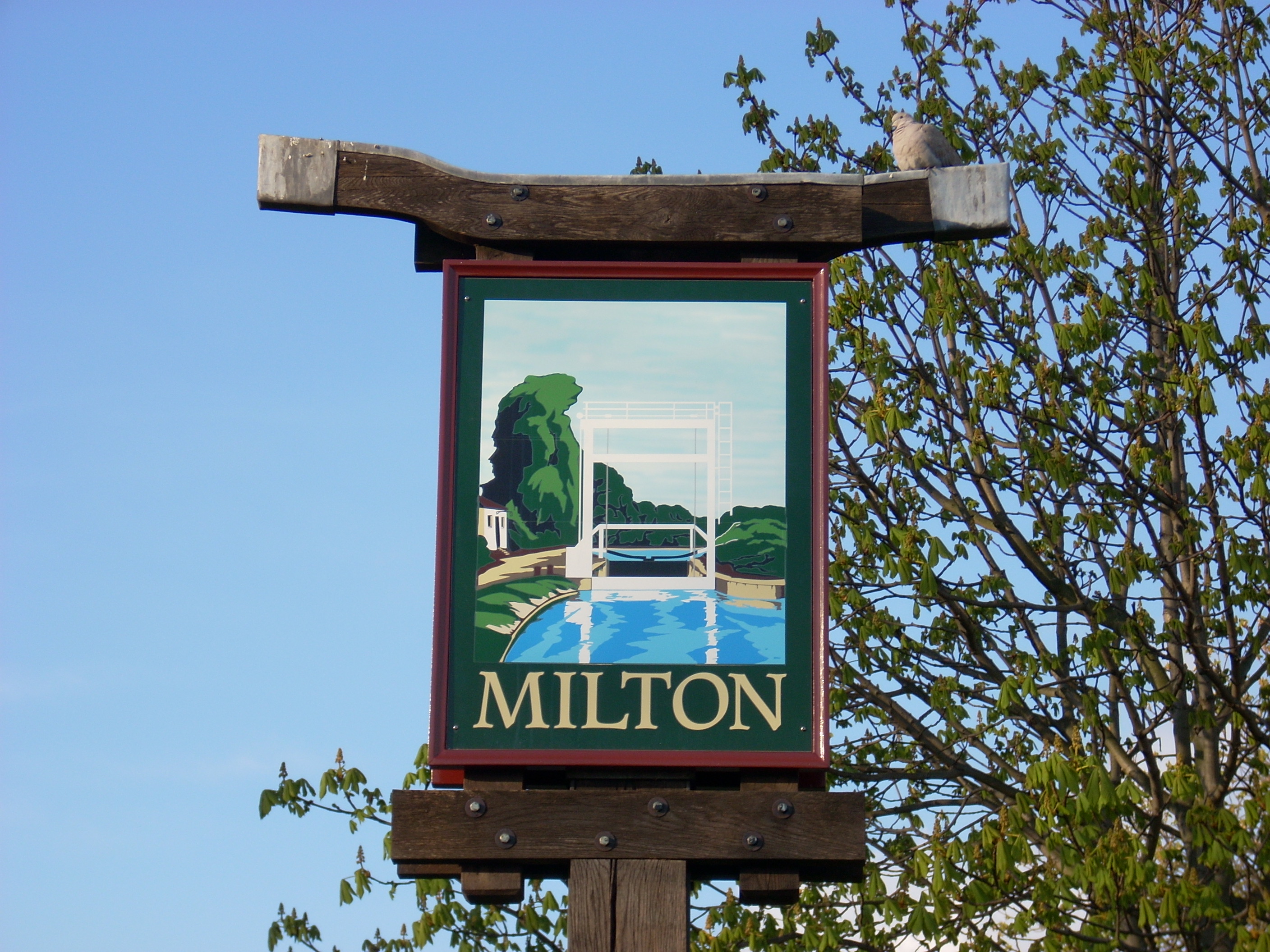
Milton, Cambridgeshire

Milton is a village just north of Cambridge, England, with a population of 4,679 at the 2011 census. == History == Milton grew from a small population...
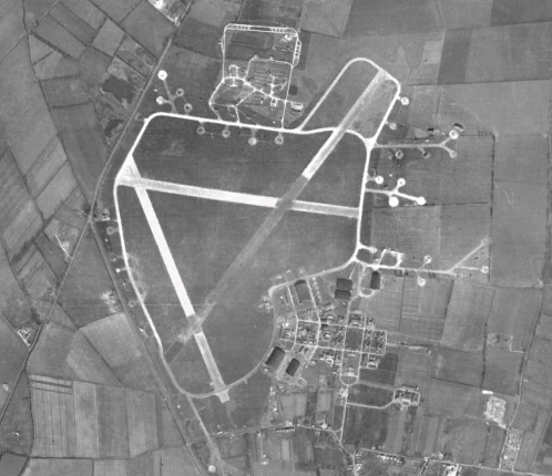
RAF Waterbeach

Royal Air Force Waterbeach or more simply RAF Waterbeach is a former Royal Air Force station located in Waterbeach, Cambridgeshire which is about 5.5 miles...

Waterbeach Barracks

Waterbeach Barracks is a former military installation in Waterbeach, Cambridgeshire. The site was an RAF Station, RAF Waterbeach and then used by the Royal...

Waterbeach railway station

Waterbeach railway station is on the Fen line in the east of England, serving the village of Waterbeach, Cambridgeshire. It is 61 miles 1 chain (98.2 km...

Nearby Amenities

Located within 500m of 52.263217,0.162781
Landbeach
Is In: Cambridgeshire, England, UK
Place: village
Population: 850
Source Name: local knowledge
Source Population: http://www.scambs.gov.uk/CommunityandLiving/VillageServicesAndAmenities/
Wikidata: Q2397165
Lat/Long: 52.2636156/0.1658714
Post Box
Brand: Royal Mail
Brand Wikidata: Q638098
Collection Times: Mo-Fr 17:30; Sa 11:00
Operator: Royal Mail
Operator Wikidata: Q638098
Post Box Type: lamp
Ref: CB25 395
Royal Cypher: EIIR
Royal Cypher Wikidata: Q33102113
Lat/Long: 52.2609166/0.1635639
Man Made: water_well
Lat/Long: 52.2665463/0.1615079
Material: wood
Power: pole
Source: bing
Lat/Long: 52.2645286/0.1602426
Barrier: kissing_gate
Foot: yes
Lat/Long: 52.2646696/0.1636588
Barrier: stile
Foot: yes
Lat/Long: 52.2646245/0.1591851
Barrier: kissing_gate
Foot: yes
Lat/Long: 52.2640684/0.1589696
Barrier: kissing_gate
Bicycle: no
Foot: yes
Horse: yes
Motorcar: no
Source: survey
Lat/Long: 52.2647793/0.1576836
Barrier: kissing_gate
Foot: yes
Lat/Long: 52.2645596/0.1605914
Post Box
Brand: Royal Mail
Brand Wikidata: Q638098
Collection Times: Mo-Fr 09:00; Sa 07:00
Operator: Royal Mail
Operator Wikidata: Q638098
Post Box Type: lamp
Ref: CB25 396D
Royal Cypher: EIIR
Royal Cypher Wikidata: Q33102113
Lat/Long: 52.2664698/0.161131
Bench
Source: survey
Lat/Long: 52.2663414/0.1616797
Manor of Brays, medieval (site of)
Historic: archaeological_site
Lat/Long: 52.2641642/0.1583242
Bus Stop
Cockfen Lane
Naptan AtcoCode: 0500SLAND003
Naptan Bearing: N
Naptan CommonName: Cockfen Lane
Naptan Indicator: near
Naptan Landmark: Cockfen Lane
Naptan NaptanCode: cmbgagaw
Naptan ShortCommonName: Cockfen Lane
Naptan Street: High Street
Naptan Verified: no
Public Transport: platform
Source: naptan_import
Lat/Long: 52.2641122/0.1621585
Bus Stop
Walnut Farm
Naptan AtcoCode: 0500SLAND004
Naptan Bearing: S
Naptan CommonName: Walnut Farm
Naptan Indicator: near
Naptan Landmark: High Street
Naptan NaptanCode: cmbgagda
Naptan ShortCommonName: Walnut Farm
Naptan Street: High Street
Naptan Verified: no
Source: naptan_import
Lat/Long: 52.2604951/0.1637606
Bus Stop
Walnut Farm
Naptan AtcoCode: 0500SLAND005
Naptan Bearing: N
Naptan CommonName: Walnut Farm
Naptan Indicator: opp
Naptan Landmark: High Street
Naptan NaptanCode: cmbgagdg
Naptan ShortCommonName: Walnut Farm
Naptan Street: High Street
Naptan Verified: no
Source: naptan_import
Lat/Long: 52.2604069/0.1636684
Bus Stop
Matthew Parker Close
Naptan AtcoCode: 0500SLAND009
Naptan Bearing: E
Naptan CommonName: Matthew Parker Close
Naptan Indicator: opp
Naptan Landmark: Matthew Parker Close
Naptan NaptanCode: cmbgagdt
Naptan ShortCommonName: Matthew Parker Cl
Naptan Street: Waterbeach Road
Naptan Verified: no
Source: naptan_import
Lat/Long: 52.2645102/0.165964
Bus Stop
Cockfen Lane
Alt Name: Cottenham Turn
Naptan AltCommonName: Cottenham Turn
Naptan AtcoCode: 0500SLAND015
Naptan Bearing: S
Naptan BusStopType: CUS
Naptan CommonName: Cockfen Lane
Naptan Indicator: opp
Naptan Landmark: Waterbeach Road
Naptan NaptanCode: cmbgagjp
Naptan ShortCommonName: Cockfen Lane
Naptan Street: High Street
Naptan Verified: no
Public Transport: platform
Source: naptan_import
Lat/Long: 52.2641538/0.162356
Addr Housenumber: 15
Addr Street: Abrahams Close
Source: survey
Lat/Long: 52.2632117/0.1631207
Addr Housenumber: 1-2
Building: house
Source: survey
Type: semidetached
Lat/Long: 52.2628805/0.1637456
Addr Housenumber: 3-4
Addr Postcode: CB25 9FS
Source: survey
Type: semidetached
Lat/Long: 52.2628793/0.1640286
Addr Housenumber: 1
Addr Postcode: CB25 9GD
Addr Street: Ravensdale
Lat/Long: 52.2669778/0.1621684
All Saint's Barn
Addr Housenumber: 2
Addr Street: Ravensdale
Source Name: survey
Lat/Long: 52.2669461/0.161746
Church Barn
Addr Housenumber: 3
Addr Postcode: CB25 9GD
Addr Street: Ravensdale
Source Name: survey
Lat/Long: 52.2666836/0.1620196
Addr Housenumber: 4
Addr Postcode: CB25 9GD
Addr Street: Ravensdale
Lat/Long: 52.2667557/0.1622717
Addr Housenumber: 63-61
Addr Street: Green End
Building: house
Lat/Long: 52.267018/0.1609815
Addr Housenumber: 59-57
Addr Street: Green End
Building: house
Lat/Long: 52.2669532/0.1609935
Addr Housenumber: 55-53
Addr Street: Green End
Building: house
Lat/Long: 52.2668481/0.1610137
Addr Housenumber: 49-51
Addr Street: Green End
Building: house
Lat/Long: 52.266748/0.1610351
Addr Housenumber: 65-73
Addr Street: Green End
Building: house
Lat/Long: 52.2673138/0.1610002
Widow's Cottage
Addr Housenumber: 18
Addr Street: Green End
Building: house
Source Addr Housenumber: survey
Lat/Long: 52.2675655/0.161526
Duck Cottage, unnamed
Addr Housenumber: 22-20
Addr Street: Green End
Building: house
Source Addr Housenumber: survey
Lat/Long: 52.2676476/0.1615984
Cosy Cottages
Addr Housenumber: 13,15,17
Addr Street: High Street
Source: survey
Lat/Long: 52.2638901/0.1623482
Providence Cottages
Addr Housenumber: 11
Addr Street: High Street
Source: survey
Lat/Long: 52.2639968/0.1623502
Addr Housenumber: 1-3
Addr Street: High Street
Source: survey
Lat/Long: 52.2643752/0.1625473
Addr Housenumber: 5
Addr Street: High Street
Source: survey
Lat/Long: 52.2642541/0.1624555
Addr Housenumber: 7-9
Addr Street: High Street
Source: survey
Lat/Long: 52.2640834/0.1623757
Addr Housenumber: 18A
Addr Street: High Street
Source: survey
Lat/Long: 52.2632533/0.1624586
Addr Housenumber: 16A,16B
Addr Street: High Street
Source: survey
Lat/Long: 52.2632012/0.1617291
Booth: K6
Covered: booth
Disused Amenity: telephone
Man Made: telephone_box
Lat/Long: 52.2633687/0.162759
Addr Housenumber: 27-29
Addr Street: High Street
Source: survey
Lat/Long: 52.2634777/0.1628102
Addr Housenumber: 21
Addr Street: High Street
Description: modernised in 1620
Roof: thatched
Source: survey
Wikidata: Q26420292
Lat/Long: 52.2636697/0.1624823
Worts' Farm
Addr Street: High Street
Building: house
Source: survey
Wikidata: Q26589345
Lat/Long: 52.2638973/0.1619007
The Granary
Addr Street: High Street
Building: shed
Source: survey
Lat/Long: 52.2635344/0.1622608
Plague House
Addr Housenumber: 35
Addr Street: High Street
Source: survey
Wikidata: Q26420293
Lat/Long: 52.2631354/0.1629329
The Old Black Bull
Addr Housenumber: 18
Addr Street: High Street
Source: survey
Lat/Long: 52.2631458/0.1626913
Addr Housenumber: 20A
Addr Street: High Street
Source: survey
Lat/Long: 52.2629135/0.1627717
Addr Housenumber: 104
Addr Street: High Street
Source: survey
Lat/Long: 52.2588251/0.1625023
Addr Housenumber: 88-90
Addr Street: High Street
Source: survey
Lat/Long: 52.2597478/0.1634867
Addr Housenumber: 92-94
Addr Street: High Street
Source: survey
Lat/Long: 52.2595846/0.1634289
Addr Housenumber: 96-98
Addr Street: High Street
Source: survey
Lat/Long: 52.2594483/0.1633571
The Willows
Addr Housenumber: 102
Addr Street: High Street
Source: survey
Lat/Long: 52.2591269/0.162985
Addr Housenumber: 102A
Addr Street: High Street
Source: survey
Lat/Long: 52.259009/0.1629395
Crooked Birch
Addr Housenumber: 72
Addr Street: High Street
Source: survey
Lat/Long: 52.2606061/0.1632203
Crooked Birch
Addr Housenumber: 74
Addr Street: High Street
Source: survey
Lat/Long: 52.2604851/0.1631828
Trinity Hall Cottage
Addr Housenumber: 76
Addr Street: High Street
Source: survey
Lat/Long: 52.2603552/0.1635323
Addr Housenumber: 80-82
Addr Street: High Street
Source: survey
Lat/Long: 52.2601284/0.1635355
Addr Housenumber: 84-86
Addr Street: High Street
Source: survey
Lat/Long: 52.2599425/0.1634618
Addr Housenumber: 54
Addr Street: High Street
Source: survey
Lat/Long: 52.2615152/0.1633102
Addr Housenumber: 56
Addr Street: High Street
Source: survey
Lat/Long: 52.2614134/0.1631727
Addr Housenumber: 60a
Addr Postcode: CB25 9FT
Addr Street: High Street
Source: survey
Lat/Long: 52.261253/0.1633826
Addr Housenumber: 70
Addr Street: High Street
Source: survey
Lat/Long: 52.2607391/0.1632847
Ashley House
Addr Housenumber: 45a
Addr Street: High Street
Source: survey
Lat/Long: 52.2624365/0.1635243
Ashley House
Addr Housenumber: 47
Addr Street: High Street
Source: survey
Lat/Long: 52.2622904/0.1635666
Ashley House
Addr Housenumber: 49
Addr Postcode: CB25 9FR
Addr Street: High Street
Source: survey
Lat/Long: 52.2621767/0.1635652
Ashley House
Addr Housenumber: 51
Addr Street: High Street
Source: survey
Lat/Long: 52.2620191/0.163637
Glebe Cottage
Addr Housenumber: 53
Addr Street: High Street
Source: survey
Lat/Long: 52.2618291/0.1635444
Addr Housenumber: 37
Addr Street: High Street
Source: survey
Lat/Long: 52.2629047/0.1630952
Addr Housenumber: 39
Addr Street: High Street
Source: survey
Lat/Long: 52.2627393/0.163112
Addr Housenumber: 43
Addr Street: High Street
Source: survey
Lat/Long: 52.262584/0.1632311
Ashley House
Addr Housenumber: 45
Addr Street: High Street
Source: survey
Lat/Long: 52.2624722/0.1632803
Ashley House
Addr Housenumber: 43a
Addr Street: High Street
Source: survey
Lat/Long: 52.2625707/0.1639743
Addr Housenumber: 20
Addr Street: High Street
Source: survey
Lat/Long: 52.2628166/0.1622045
Addr Housenumber: 22-24
Addr Street: High Street
Source: survey
Lat/Long: 52.2627243/0.1628536
Addr Housenumber: 28-32
Addr Street: High Street
Source: survey
Lat/Long: 52.262492/0.1628019
Addr Housenumber: 34
Addr Street: High Street
Source: survey
Wikidata: Q26420291
Lat/Long: 52.2623956/0.1630091
Addr Housenumber: 77
Addr Street: High Street
Source: survey
Lat/Long: 52.2600794/0.1643235
Addr Housenumber: 83
Addr Street: High Street
Source: survey
Lat/Long: 52.2598522/0.1639821
The Limes
Addr Housenumber: 85A
Addr Street: High Street
Source: survey
Wikidata: Q26420294
Lat/Long: 52.259676/0.1640078
Walnut Farm
Addr Housenumber: 87
Addr Street: High Street
Source: survey
Lat/Long: 52.2594912/0.1639437
Building: house
Source: survey
Lat/Long: 52.2596027/0.1643898
The Orchard
Addr Housenumber: 67
Addr Street: High Street
Source: survey
Lat/Long: 52.2610472/0.1640507
Addr Housenumber: 69
Addr Street: High Street
Source: survey
Lat/Long: 52.2608781/0.1639924
Addr Housenumber: 71
Addr Street: High Street
Source: survey
Lat/Long: 52.2606844/0.1640615
Addr Housenumber: 73
Addr Street: High Street
Source: survey
Lat/Long: 52.260464/0.1641299
Limes Farm House
Addr Housenumber: 75
Addr Street: High Street
Source: survey
Lat/Long: 52.2602448/0.1641741
Addr Housenumber: 55
Addr Street: High Street
Source: survey
Lat/Long: 52.2616439/0.1638931
Glebelands
Addr Housenumber: 57
Addr Street: High Street
Source: survey
Lat/Long: 52.2614704/0.1639226
Addr Housenumber: 63
Addr Street: High Street
Source: survey
Lat/Long: 52.2613353/0.1639615
Addr Housenumber: 65
Addr Street: High Street
Source: survey
Lat/Long: 52.2611921/0.164036
Addr Housenumber: 11
Addr Street: Waterbeach Road
Lat/Long: 52.2647433/0.1644711
Addr Housenumber: 12
Addr Street: Waterbeach Road
Lat/Long: 52.2643409/0.1638985
Banworth House
Addr Housenumber: 4
Addr Street: Waterbeach Road
Lat/Long: 52.2643569/0.1636603
Far View Villa
Addr Housenumber: 2
Addr Street: Waterbeach Road
Lat/Long: 52.2644247/0.1631998
Pear Tree Cottage
Addr Housenumber: 2a
Addr Street: Waterbeach Road
Lat/Long: 52.2644345/0.1628081
Electric: substation
Operator: EDF
Source: survey
Lat/Long: 52.2647115/0.1634242
Addr Housenumber: 9
Addr Street: Waterbeach Road
Lat/Long: 52.2647564/0.1641653
Waterway: sewage pumping station
Lat/Long: 52.2646425/0.1638051
Addr Housenumber: 22-24
Addr Street: Waterbeach Road
Lat/Long: 52.2643238/0.1656704
Addr Housenumber: 26-28
Addr Street: Waterbeach Road
Lat/Long: 52.2642781/0.1658704
Addr Housenumber: 30-32
Addr Street: Waterbeach Road
Lat/Long: 52.2642781/0.1660635
Addr Housenumber: 34-36
Addr Street: Waterbeach Road
Lat/Long: 52.26425/0.1662739
Addr Housenumber: 38-40
Addr Street: Waterbeach Road
Lat/Long: 52.2642434/0.1664831
Unwins
Addr Housenumber: 15
Addr Street: Waterbeach Road
Lat/Long: 52.2647137/0.1648358
Addr Housenumber: 14
Addr Street: Waterbeach Road
Lat/Long: 52.2643155/0.1646654
Addr Housenumber: 16
Addr Street: Waterbeach Road
Lat/Long: 52.2643189/0.1651071
Addr Housenumber: 18
Addr Street: Waterbeach Road
Lat/Long: 52.2643124/0.1652922
Addr Housenumber: 20
Addr Street: Waterbeach Road
Lat/Long: 52.264305/0.1654733
Vine Cottage
Addr Housenumber: 13
Addr Street: Waterbeach Road
Lat/Long: 52.2647694/0.164691
Addr Street: Waterbeach Road
Building: barn
Source: survey
Lat/Long: 52.2638593/0.1685937
Addr Housenumber: 1
Addr Street: Matthew Parker Close
Building: house
Source: survey
Lat/Long: 52.2640651/0.1647997
Addr Housenumber: 17
Addr Street: Matthew Parker Close
Building: house
Source: survey
Lat/Long: 52.2643573/0.1642094
The Retreat
Addr Housenumber: 13
Addr Street: Matthew Parker Close
Building: house
Source: survey
Lat/Long: 52.264061/0.1641893
Power: pole
Lat/Long: 52.2661333/0.1579023
Power: pole
Source: bing#
Lat/Long: 52.265239/0.1602472
Power: pole
Source: bing
Lat/Long: 52.2625781/0.1600113
Power: pole
Source: bing
Lat/Long: 52.2616711/0.1600261
Power: pole
Source: bing
Lat/Long: 52.2642936/0.1601944
Power: pole
Source: bing
Lat/Long: 52.2634811/0.1599964
Power: pole
Source: bing
Lat/Long: 52.2600235/0.1604084
Power: pole
Source: bing
Lat/Long: 52.2607508/0.1600382
Power: pole
Source: bing
Lat/Long: 52.2593841/0.1606953
Power: pole
Source: bing
Transformer: yes
Lat/Long: 52.2627253/0.1615297
Addr Housenumber: 2-4
Addr Postcode: CB25 9GB
Addr Street: Walnut Close
Source: survey
Lat/Long: 52.2593811/0.1638685
Addr Housenumber: 6
Addr Postcode: CB25 9GB
Addr Street: Walnut Close
Source: survey
Lat/Long: 52.2593467/0.1640939
Addr Housenumber: 8
Addr Postcode: CB25 9GB
Addr Street: Walnut Close
Source: survey
Lat/Long: 52.2593188/0.164271
Addr Housenumber: 10
Addr Postcode: CB25 9GB
Addr Street: Walnut Close
Source: survey
Lat/Long: 52.2592958/0.1644212
Addr Housenumber: 16
Addr Street: Walnut Close
Source: survey
Lat/Long: 52.2592301/0.1648316
Barrier: kissing_gate
Source: survey
Lat/Long: 52.264842/0.1576719
Village Sign
Village sign
Lat/Long: 52.2643741/0.1621905
Board Type: history
Check Date: 2023-09-03
Information: board
Operator: Cambridgeshire County Council
Tourism: information
Lat/Long: 52.2645501/0.1606571
Bench
Backrest: yes
Inscription: 1939-1945
Material: metal
Seats: 4
Lat/Long: 52.2645333/0.1621081
Bench
Backrest: yes
Material: wood
Seats: 4
Lat/Long: 52.266412/0.1623477
Bench
Backrest: yes
Material: metal
Seats: 4
Lat/Long: 52.2645554/0.1621542
Bench
Backrest: yes
Material: wood
Seats: 4
Lat/Long: 52.2648632/0.1620666
Covered: no
Leisure: picnic_table
Material: wood
Lat/Long: 52.2647353/0.1621283
Covered: no
Leisure: picnic_table
Material: wood
Lat/Long: 52.2648123/0.16202
Bench
Backrest: yes
Material: wood
Seats: 6
Lat/Long: 52.2666157/0.1630011
Bench
Backrest: yes
Material: wood
Seats: 4
Lat/Long: 52.2666795/0.1632677
Barrier: height_restrictor
Maxheight: 2.3
Lat/Long: 52.2645754/0.1611739
Barrier: height_restrictor
Maxheight: 2.3
Lat/Long: 52.2645488/0.1615308
Bicycle Parking
Bicycle Parking: stands
Capacity: 4
Covered: no
Lat/Long: 52.2647636/0.1616238
Information: map
Tourism: information
Lat/Long: 52.2646287/0.1621877
Advertising: board
Board Title: Landbeach Parish Council
Lat/Long: 52.2645247/0.162063
Bench
Backrest: yes
Inscription: In commemoration of 40 years of peace 1945-1985
Material: wood
Openbenches Id: 23462
Lat/Long: 52.2671429/0.1610821
Bench
Backrest: yes
Inscription: FROM THE PEOPLE OF LANDBEACH TO COMMEMORATE THE 80th BIRTHDAY OF H.R.H. QUEEN ELIZABETH THE QUEEN MOTHER Aug. 4th 1980
Material: wood
Lat/Long: 52.2647174/0.1616272
Bench
Lat/Long: 52.2648621/0.1562711
Bench
Lat/Long: 52.2645005/0.1570057
Bench
Lat/Long: 52.264253/0.1572453
Barrier: kissing_gate
Lat/Long: 52.2634847/0.1592545
Barrier: kissing_gate
Motor Vehicle: private
Lat/Long: 52.2646685/0.1636906
The data included in this document is from www.openstreetmap.org. The data is made available under ODbL.

Have you been to Landbeach?

Leave your review of Landbeach below (or comments, questions and feedback).