Ceunant Coch
Valley in Merionethshire
Wales
Ceunant Coch
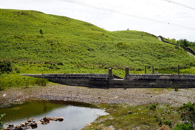
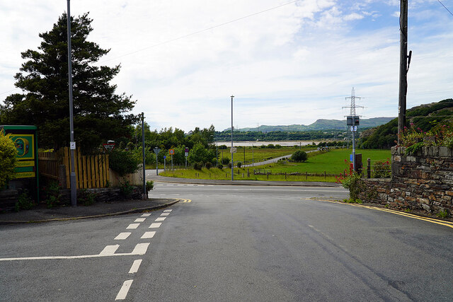
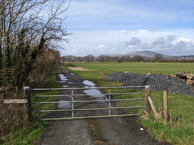
Ceunant Coch, located in Merionethshire, is a picturesque valley nestled in the heart of Wales. Known for its stunning natural beauty and tranquil surroundings, it has become a popular destination for nature enthusiasts and hikers alike.
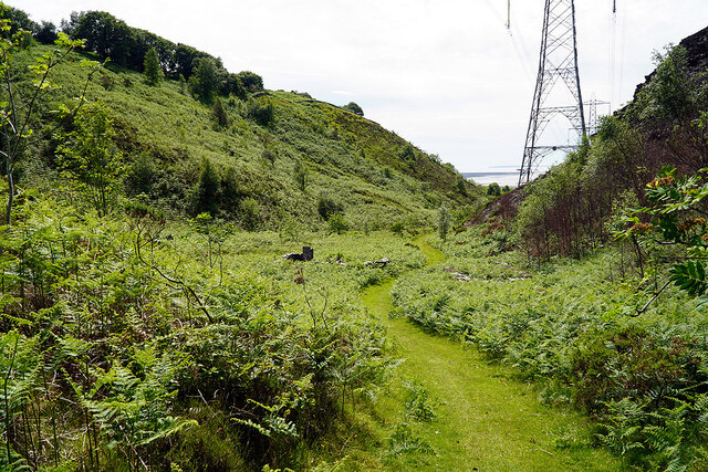
The valley is characterized by its lush greenery, towering cliffs, and cascading waterfalls. The name "Ceunant Coch" translates to "Red Ravine" in English, which is a fitting description of the reddish hue that the cliffs take on during certain times of the day.
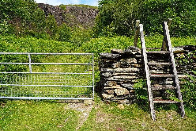
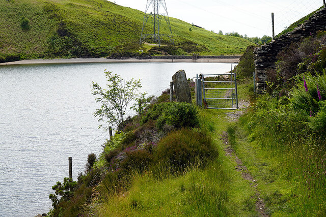
One of the main attractions in Ceunant Coch is the breathtaking waterfall that cuts through the valley. The waterfall, known as Rhaeadr Ceunant Coch, is a majestic sight to behold as it plunges down the cliffs, creating a misty and ethereal atmosphere. Visitors can follow the well-marked trails that wind their way through the valley, providing stunning viewpoints of the waterfall and the surrounding landscape.
The valley is also home to a diverse range of flora and fauna, making it a haven for wildlife enthusiasts. Rare species of birds, including the peregrine falcon and red kite, can often be spotted soaring above the cliffs. The valley floor is carpeted with vibrant wildflowers during the spring and summer months, adding bursts of color to the already picturesque scenery.
For those seeking a peaceful retreat away from the hustle and bustle of everyday life, Ceunant Coch offers a serene and idyllic setting. Whether it is a leisurely stroll through the valley or a challenging hike up the cliffs, this hidden gem in Merionethshire is sure to leave visitors in awe of its natural beauty.
If you have any feedback on the listing, please let us know in the comments section below.
Ceunant Coch Images
Images are sourced within 2km of 52.909431/-4.0379858 or Grid Reference SH6336. Thanks to Geograph Open Source API. All images are credited.


Ceunant Coch is located at Grid Ref: SH6336 (Lat: 52.909431, Lng: -4.0379858)
Unitary Authority: Gwynedd
Police Authority: North Wales
What 3 Words
///alongside.fillings.holds. Near Penrhyndeudraeth, Gwynedd
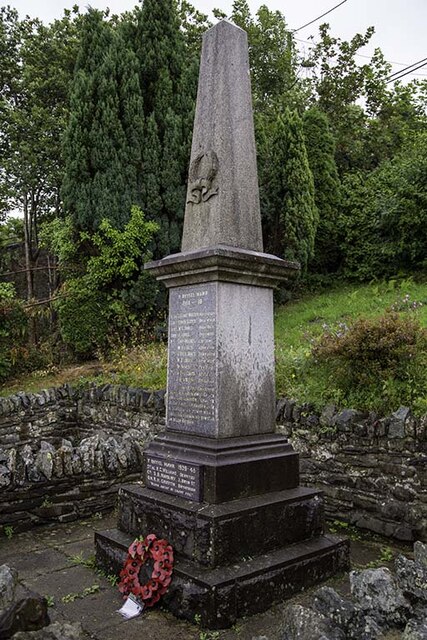
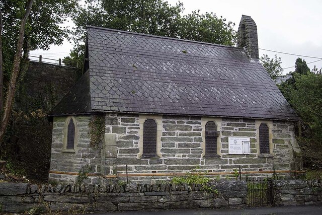
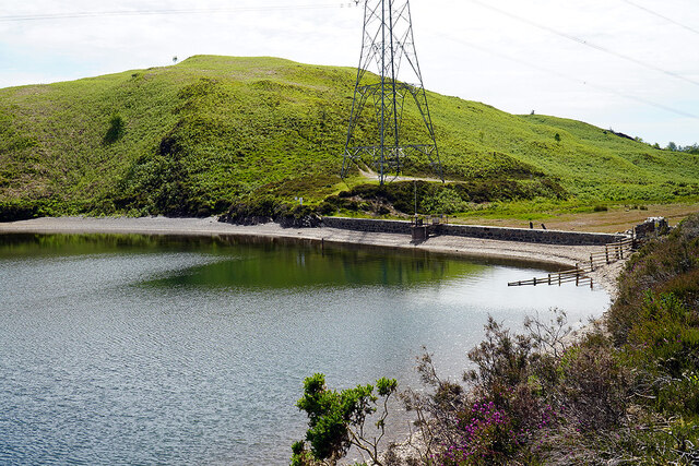
Nearby Locations
Related Wikis

Llandecwyn
Llandecwyn () is a hamlet near Penrhyndeudraeth in Gwynedd, Wales. The bulk of the population (between 40 and 50 houses) is now located around Cilfor close...

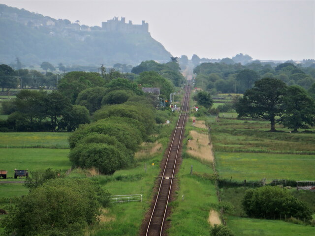
Llandecwyn railway station
Llandecwyn railway station serves the rural area around Llandecwyn on the estuary of the Afon Dwyryd in Gwynedd, Wales. == History == British Rail requested...

Soar, Gwynedd
Soar is a small village or hamlet in Gwynedd, Wales. It is located about 4 miles (6.4 km) northeast of Harlech, close to Talsarnau and Llandecwyn. It has...

Talsarnau
Talsarnau is a village and community in the Ardudwy area of Gwynedd in Wales. Its population was 525 in 2001, and had increased to 550 at the 2011 Census...
Related Videos
4B. Holiday Special - a week in Wales!
The other week the Narrowboat Noob crew (me and mum!) were in Wales for a week in a holiday cottage in Talsarnau. These are ...
SNOWDONIA: Highest Mountain in England and Wales #snowdonia #trekking #mountaintop
Mount Snowdon stands at an impressive 1085 metres or 3560 feet. Never before had I ever gone for trekking or mountain ...
![[The Sign Hunters] GoPro Quik Story #25 ~ "Around Barcdy caravan park in Llandecwyn" ~ (21.10.2018)](https://i.ytimg.com/vi/Qw3WcdrpBwA/hqdefault.jpg)
[The Sign Hunters] GoPro Quik Story #25 ~ "Around Barcdy caravan park in Llandecwyn" ~ (21.10.2018)
A walk around Barcdy caravan park in Llandecwyn, Wales (21.10.2018) Music credit: GoPro license This film was made by The ...
The Hills Above Bryn Bwbach
Views in North Wales.
Nearby Amenities
Located within 500m of 52.909431,-4.0379858Have you been to Ceunant Coch?
Leave your review of Ceunant Coch below (or comments, questions and feedback).