Cwm Brwynog
Valley in Caernarfonshire
Wales
Cwm Brwynog
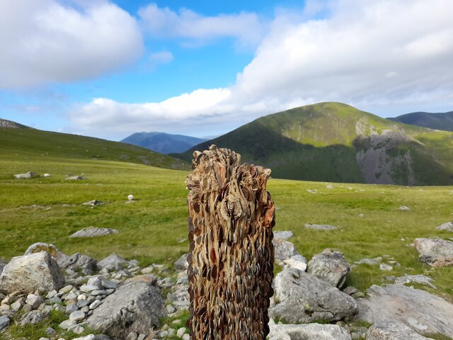
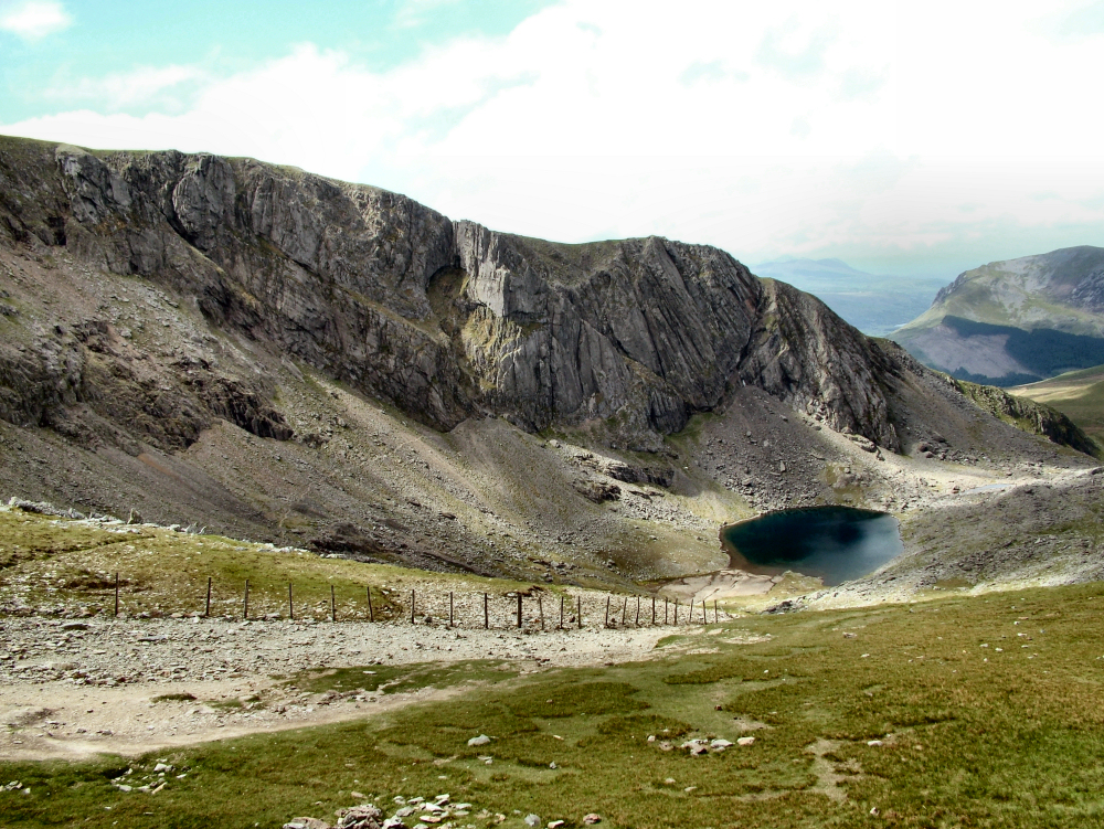
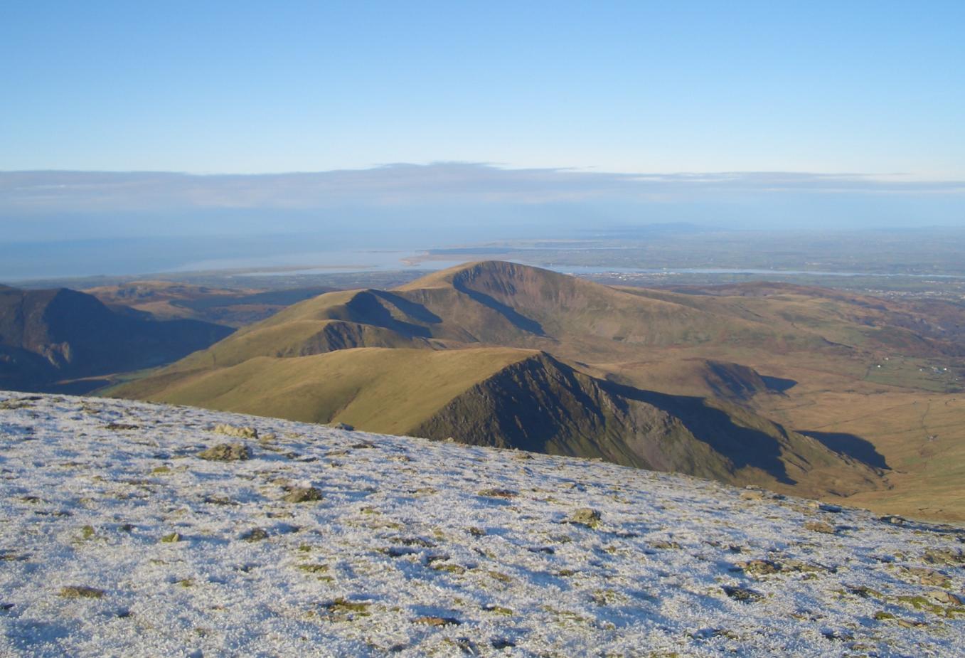
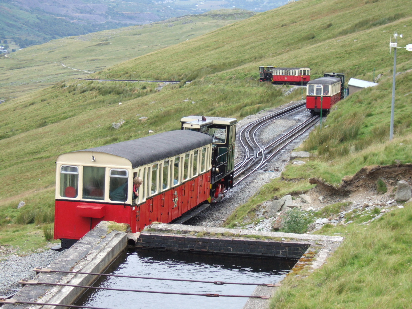
Cwm Brwynog is a picturesque valley located in the county of Caernarfonshire, in North Wales. Nestled amidst the stunning Snowdonia National Park, this valley boasts breathtaking natural beauty and a rich history.
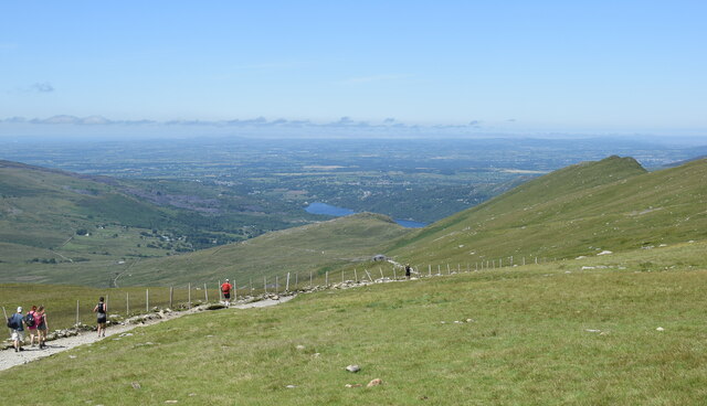
Surrounded by lush green hills and mountains, Cwm Brwynog is a haven for nature enthusiasts and outdoor adventurers. The valley is known for its diverse wildlife, including rare bird species and a variety of flora and fauna. Visitors can explore the numerous walking trails that wind through the valley, offering stunning panoramic views of the surrounding countryside.
The valley is also home to several small, charming villages, where visitors can experience the warm hospitality and traditional Welsh culture. The village of Cwm Brwynog itself is a quaint settlement, with a handful of stone cottages and a historic church. The local community takes great pride in preserving the area's heritage and maintaining its rural charm.
Historically, Cwm Brwynog has been inhabited for centuries, with evidence of Bronze Age settlements and ancient burial mounds found in the vicinity. The valley also played a significant role in the slate industry during the 19th century, with numerous quarries dotting the landscape. Today, remnants of the industry can still be seen, adding to the valley's historical appeal.
Overall, Cwm Brwynog is a hidden gem in Caernarfonshire, offering visitors a unique blend of natural beauty, cultural richness, and historical significance. Whether it's exploring the great outdoors or immersing oneself in the local heritage, this valley has something to offer for every type of traveler.
If you have any feedback on the listing, please let us know in the comments section below.
Cwm Brwynog Images
Images are sourced within 2km of 53.082907/-4.1015707 or Grid Reference SH5956. Thanks to Geograph Open Source API. All images are credited.


Cwm Brwynog is located at Grid Ref: SH5956 (Lat: 53.082907, Lng: -4.1015707)
Unitary Authority: Gwynedd
Police Authority: North Wales
What 3 Words
///spooned.champions.rotation. Near Llanberis, Gwynedd
Nearby Locations
Related Wikis
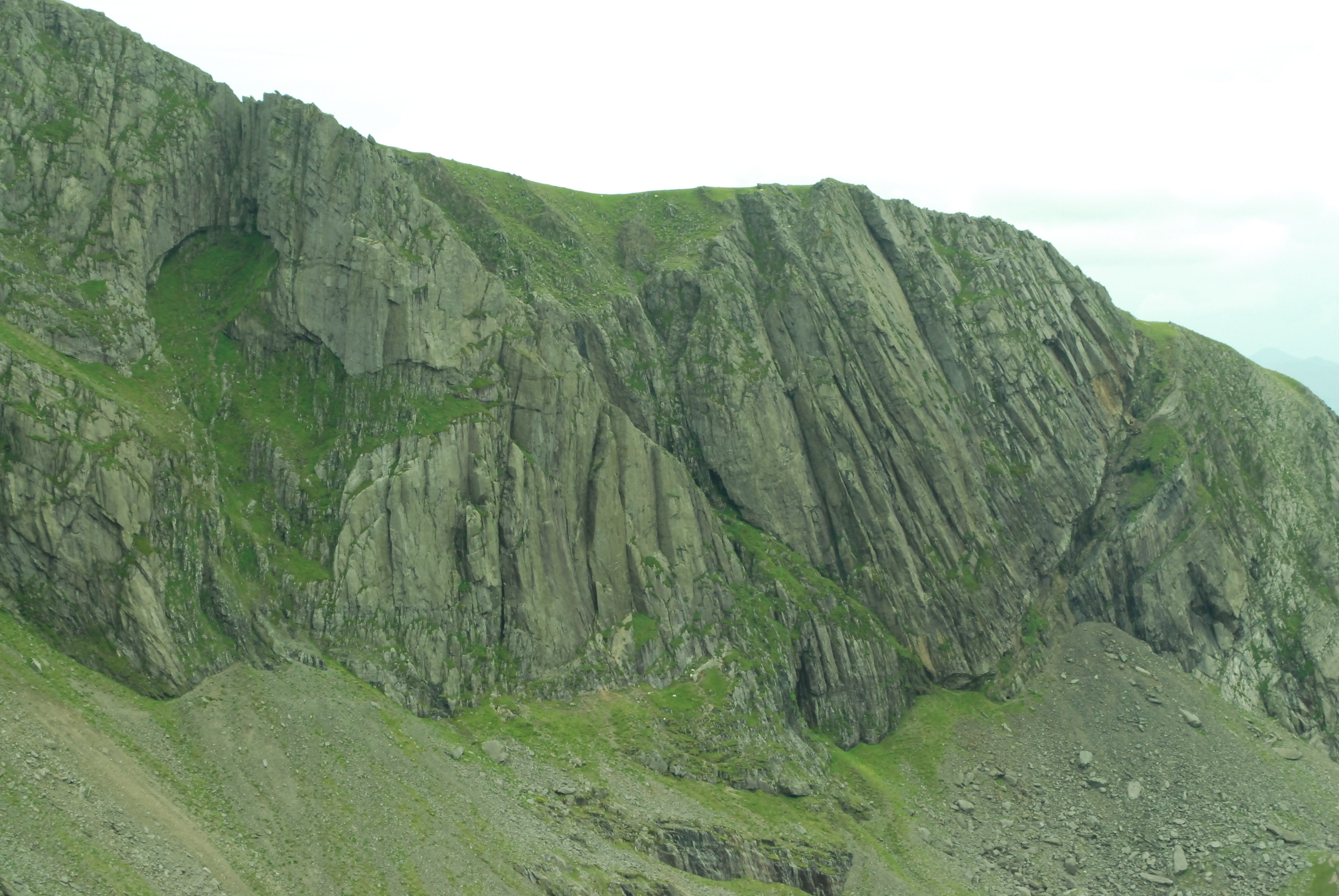
Clogwyn Du'r Arddu
Clogwyn Du'r Arddu (Welsh pronunciation: [ˈklɔɡwɨ̞n ˈdɨːr ˈarðɨ̞], translates as the "black cliff of the black height"), or "Cloggy", is a north-facing...
Indian Face
Indian Face is a 45-metre (148 ft) rhyolite rock climbing route on the "Great Wall" of the East Buttress of Clogwyn Du'r Arddu, in Wales. When English...
Moel Cynghorion
Moel Cynghorion (the Hill of the Councillors) is a mountain in Snowdonia, North Wales. It lies two miles north-west of Snowdon, and forms part of the Moel...

Snowdon Massif
The Snowdon Massif (or the Yr Wyddfa massif), is one of the three mountain groups in Snowdonia (Eryri), north Wales, to include mountains over 3,000 feet...

Afon Colwyn
The Afon Colwyn (English: River Colwyn) is a small river in Gwynedd, north-west Wales, a tributary of the Afon Glaslyn. It has its source on the south...
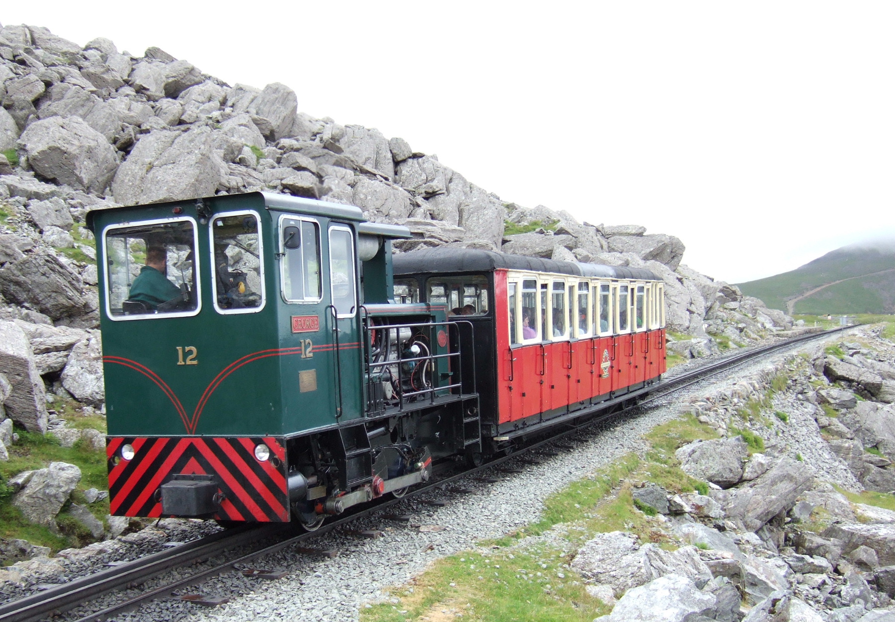
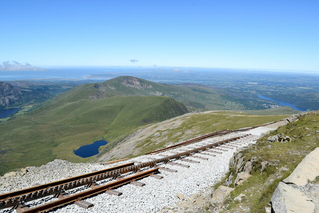
Rocky Valley Halt railway station
Rocky Valley Halt is an intermediate station on the Snowdon Mountain Railway. It consists of a narrow platform sheltered by the rocky outcrop of Llechog...
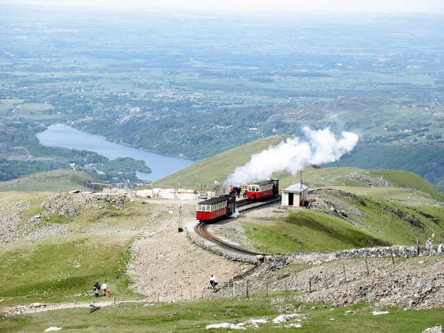
Clogwyn railway station
Clogwyn is an intermediate station on the Snowdon Mountain Railway. It is located on an exposed ridge overlooking the Llanberis Pass and Clogwyn Du'r Arddu...
Halfway railway station
Halfway railway station is an intermediate stop on the Snowdon Mountain Railway, halfway along the line and close to the 'Halfway House' cafe on the nearby...
Nearby Amenities
Located within 500m of 53.082907,-4.1015707Have you been to Cwm Brwynog?
Leave your review of Cwm Brwynog below (or comments, questions and feedback).