Fin Glen
Valley in Stirlingshire
Scotland
Fin Glen
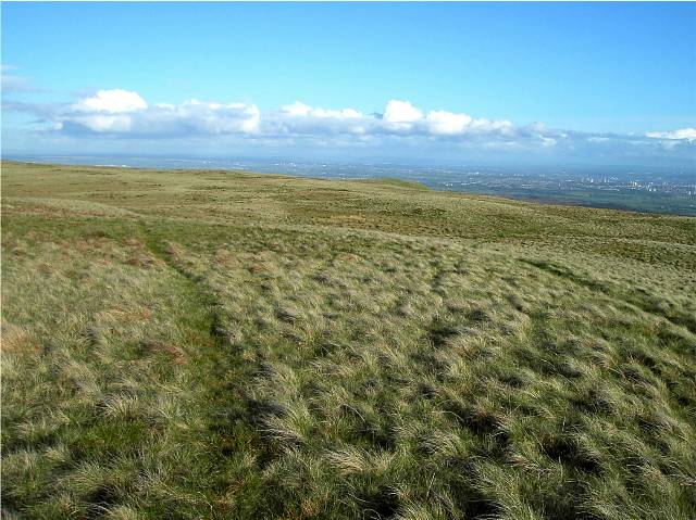
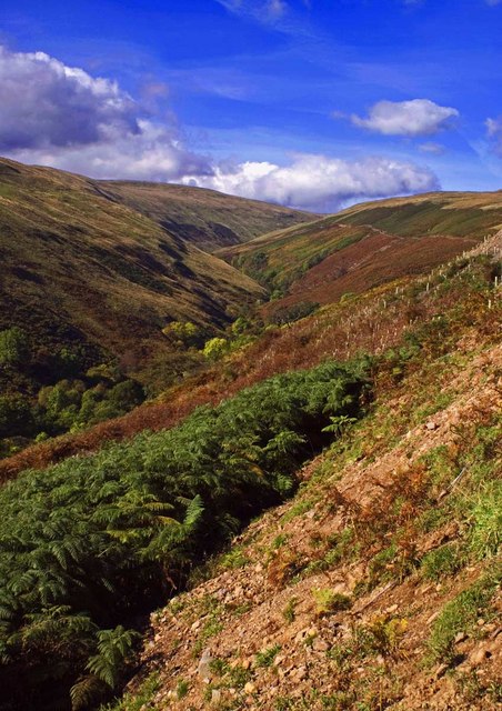
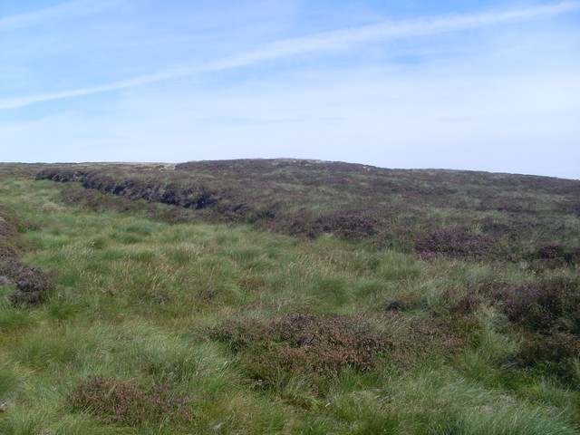
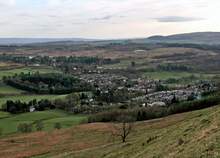
Fin Glen is a picturesque valley located in the region of Stirlingshire, Scotland. Situated near the village of Fintry, this scenic glen is nestled amidst the rolling hills and lush greenery of the area. The valley is known for its stunning natural beauty and is a popular destination for outdoor enthusiasts and nature lovers.
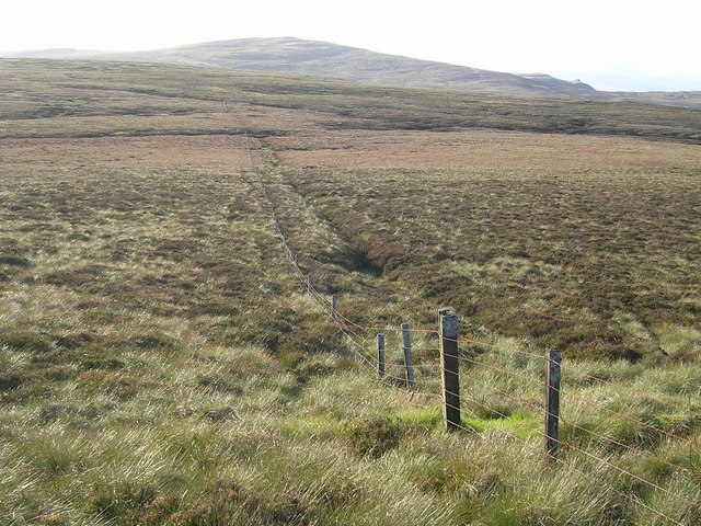
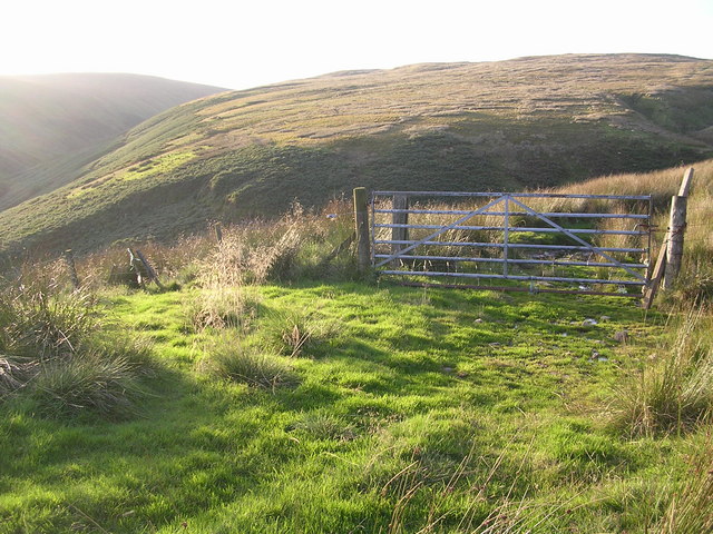
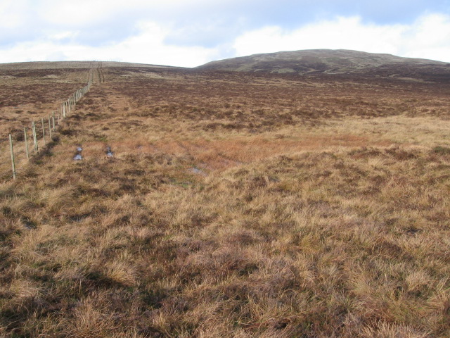
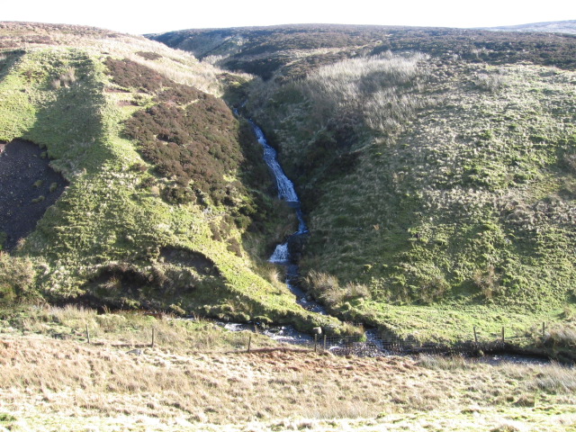
The glen is traversed by the Endrick Water, a river that flows through the valley, adding to its charm. The river is flanked by dense woodlands, creating a serene and tranquil atmosphere. Numerous walking trails and paths wind through the glen, offering visitors the opportunity to explore the area and take in the breathtaking scenery.
One of the highlights of Fin Glen is the impressive waterfall known as the "Devil's Pulpit." This waterfall cascades down a rugged cliff face, creating a dramatic and awe-inspiring sight. The Devil's Pulpit has become a popular spot for adventurous hikers and photographers, who are rewarded with stunning views of the surrounding landscape.
Aside from its natural beauty, Fin Glen also boasts a rich history. The glen is home to several ancient ruins, including the remains of a medieval castle and an old chapel. These historical sites offer visitors a glimpse into the area's past and add an element of intrigue to the valley.
Overall, Fin Glen is a must-visit destination for those seeking a peaceful retreat in the heart of nature. Whether it's hiking, photography, or simply enjoying the tranquility of the Scottish countryside, this valley offers a truly unforgettable experience.
If you have any feedback on the listing, please let us know in the comments section below.
Fin Glen Images
Images are sourced within 2km of 56.005375/-4.2758203 or Grid Reference NS5881. Thanks to Geograph Open Source API. All images are credited.


Fin Glen is located at Grid Ref: NS5881 (Lat: 56.005375, Lng: -4.2758203)
Unitary Authority: East Dunbartonshire
Police Authority: Greater Glasgow
What 3 Words
///framework.taxed.thanks. Near Strathblane, Stirling
Nearby Locations
Related Wikis

Campsie Fells
The Campsie Fells (also known as the Campsies; Scottish Gaelic: Monadh Chamaisidh) are a range of hills in central Scotland, stretching east to west from...

Campsie, East Dunbartonshire
Campsie is a civil parish in East Dunbartonshire, Scotland. The parish was formerly part of Stirlingshire. == Settlements == Auchenreoch Clachan of Campsie...

Earl's Seat
Earl's Seat (578 m) is the highest hill of the Campsie Fells in Central Scotland. It lies on the border of Stirlingshire and East Dunbartonshire in central...
Blanefield
Blanefield is a settlement in Scotland contiguous with Strathblane's northwestern fringe. To the west is the volcanic plug Dumgoyne, Glengoyne Distillery...
Nearby Amenities
Located within 500m of 56.005375,-4.2758203Have you been to Fin Glen?
Leave your review of Fin Glen below (or comments, questions and feedback).