Nant Colwyn
Valley in Caernarfonshire
Wales
Nant Colwyn

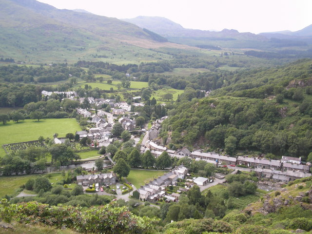
Nant Colwyn is a picturesque valley located in the county of Caernarfonshire, Wales. Nestled in the heart of Snowdonia National Park, this stunning valley is known for its breathtaking natural beauty and rich cultural heritage.
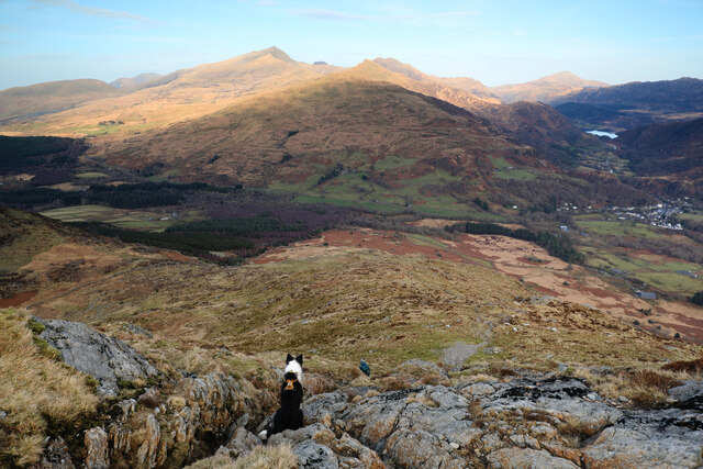
The valley is characterized by its lush green landscapes, surrounded by towering mountains and dotted with sparkling streams and waterfalls. The River Colwyn meanders through the valley, adding to its charm and tranquility. The valley's elevation ranges from approximately 100 to 500 meters above sea level, offering visitors stunning panoramic views of the surrounding countryside.
Nant Colwyn is a haven for outdoor enthusiasts, with numerous hiking and walking trails crisscrossing the valley. The valley is home to a diverse range of flora and fauna, including rare and endangered species such as the Snowdon Lily and the Red Squirrel. The valley is also a popular spot for birdwatching, with a variety of bird species, including the majestic Golden Eagle, being spotted here.
The valley is also steeped in history and culture. It is dotted with ancient ruins, including the remains of a hillfort dating back to the Iron Age. The valley is also home to a number of traditional Welsh villages, where visitors can experience the warm hospitality and rich traditions of the local community.
Overall, Nant Colwyn is a true gem in the heart of Snowdonia National Park. Its stunning natural beauty, diverse wildlife, and rich cultural heritage make it a must-visit destination for nature lovers and history enthusiasts alike.
If you have any feedback on the listing, please let us know in the comments section below.
Nant Colwyn Images
Images are sourced within 2km of 53.02076/-4.119974 or Grid Reference SH5749. Thanks to Geograph Open Source API. All images are credited.


Nant Colwyn is located at Grid Ref: SH5749 (Lat: 53.02076, Lng: -4.119974)
Unitary Authority: Gwynedd
Police Authority: North Wales
What 3 Words
///noise.tightest.darts. Near Talysarn, Gwynedd
Nearby Locations
Related Wikis

Afon Meillionen
Afon Meillionen (Welsh for Clover River) is a small river near Beddgelert in Gwynedd, north-west Wales. It flows down Cwm Meillionen, a small valley which...
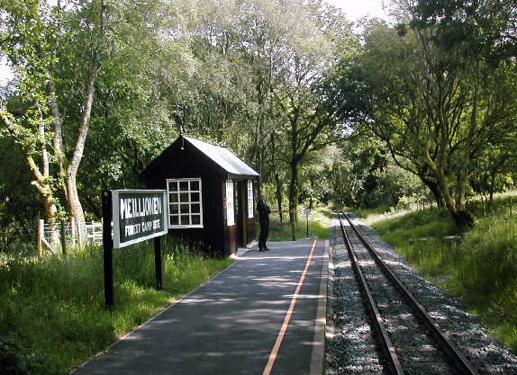
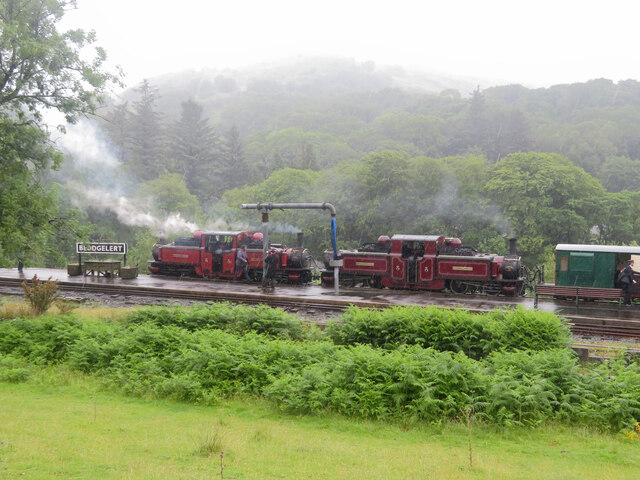
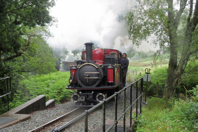
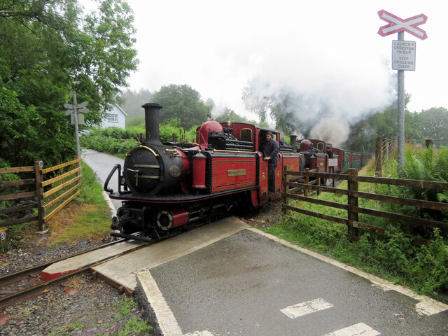
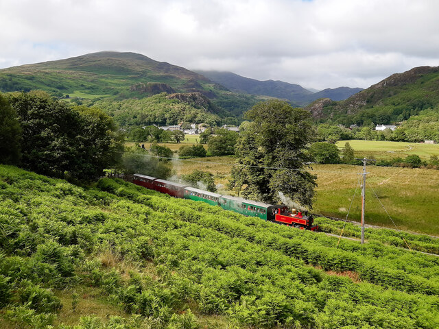
Meillionen railway station
Meillionen railway station is a halt on the Welsh Highland Railway. It opened to the public when the section of line between Rhyd Ddu and Beddgelert re...
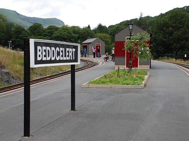
Beddgelert railway station
Beddgelert railway station is a railway station on the narrow gauge Welsh Highland Railway in North Wales. The rebuilt station was officially opened by...
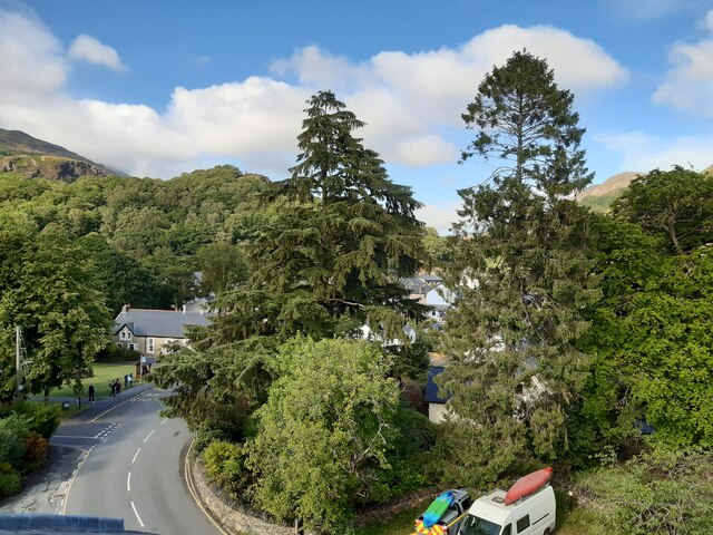
Beddgelert
Beddgelert (Welsh: [bɛðˈgɛlɛrt] ) is a village and community in the Snowdonia area of Gwynedd, Wales. The population of the community taken at the 2011...
Nearby Amenities
Located within 500m of 53.02076,-4.119974Have you been to Nant Colwyn?
Leave your review of Nant Colwyn below (or comments, questions and feedback).