Spittal Glen
Valley in Stirlingshire
Scotland
Spittal Glen
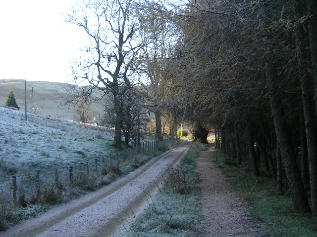
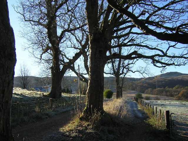
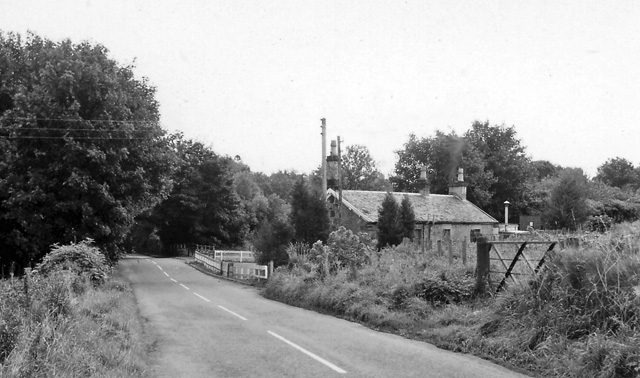
Spittal Glen is a picturesque valley located in Stirlingshire, Scotland. It is nestled in the heart of the Central Lowlands, just a few miles southeast of the town of Stirling. This tranquil glen is renowned for its stunning natural beauty, making it a popular destination for outdoor enthusiasts and nature lovers.
The glen is characterized by its lush greenery, rolling hills, and serene atmosphere. It is home to a diverse range of flora and fauna, including native Scottish species such as oak trees, birch trees, and wildflowers. The glen is also crisscrossed by several small streams, adding to its scenic charm.
The surrounding landscape offers ample opportunities for outdoor activities, such as hiking, walking, and birdwatching. There are numerous well-maintained trails that wind their way through the glen, providing visitors with the chance to explore its hidden treasures. The glen is also a haven for wildlife, with sightings of deer, squirrels, and various bird species being common.
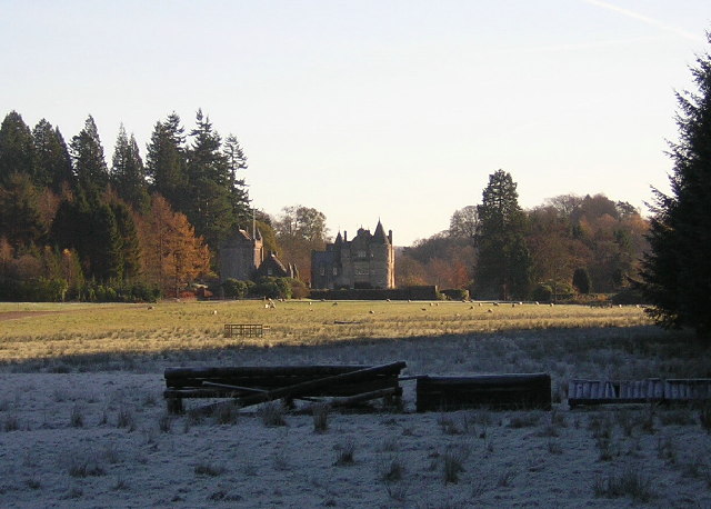
In addition to its natural beauty, Spittal Glen is also home to historical and cultural landmarks. The nearby ruins of the medieval Cambuskenneth Abbey, founded in the 12th century, are a testament to the area's rich history. The glen is also in close proximity to the iconic Stirling Castle, a significant historical site that offers panoramic views of the surrounding countryside.
Overall, Spittal Glen is a captivating destination that offers a blend of natural beauty, recreational activities, and historical significance. Its idyllic setting and peaceful ambiance make it a perfect retreat for those seeking solace in nature or a glimpse into Scotland's past.
If you have any feedback on the listing, please let us know in the comments section below.
Spittal Glen Images
Images are sourced within 2km of 56.000173/-4.3348403 or Grid Reference NS5481. Thanks to Geograph Open Source API. All images are credited.


Spittal Glen is located at Grid Ref: NS5481 (Lat: 56.000173, Lng: -4.3348403)
Unitary Authority: Stirling
Police Authority: Forth Valley
What 3 Words
///swims.disgraced.names. Near Strathblane, Stirling
Nearby Locations
Related Wikis

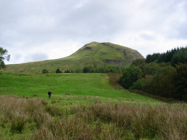
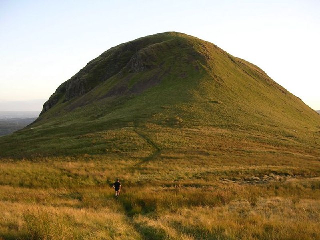
Dumfoyn
Dumfoyn is a hill in the Campsie Fells of Scotland. It is a volcanic plug, and rises to 426 metres (1,398 ft). It sits beside another hill, Dumgoyne which...
Blanefield railway station
Blanefield railway station served the village of Blanefield, Stirling, Scotland from 1867 to 1959 on the Blane Valley Railway. == History == The station...

Dumgoyne
Dumgoyne is a hill prominent on the edge of the Campsie Fells and is a well-known landmark visible from Glasgow. It is a volcanic plug and is 427 m (1...

Glengoyne distillery
Glengoyne distillery is a whisky distillery continuously in operation since its founding in 1833 at Dumgoyne, north of Glasgow, Scotland. Glengoyne is...
Nearby Amenities
Located within 500m of 56.000173,-4.3348403Have you been to Spittal Glen?
Leave your review of Spittal Glen below (or comments, questions and feedback).