Kirkdale Glen

Valley in Kirkcudbrightshire

Scotland

Kirkdale Glen

Cliff-McCulloch Memorial on Cairny Hill Memorial to members of the Cliff-McCulloch family. The inscription reads:
Sacred | to the memory of | Janet McCulloch Cliff-McCulloch | the wife of | E. A. Cliff-McCulloch, | who died at Kirkclaugh, on the 28th March 1911, | in her 59th year. | "A woman greatly beloved." | And of her husband | Edward Adam Cliff-McCulloch | who died at Carlisle on the 31st August 1915, | in his 64th year, | and of their third son | Walter Alexander Cliff-McCulloch | Lieutenant, Royal Irish Rifles, | killed in action in France on the 27th February 1916 | and buried in the British Cemetery Vermelles, | aged 29 years. | And of their grand-son | Alexander Peter Cliff-McCulloch | Sgt. Air Gunner killed night 31st May - 1st June 1944 | on flying operations over North Sea, | aged 28 [y]ear[s]. | And of their eldest son | Willian Edward Clif[f]-McCulloch | father of Alexander P[e]ter | D[ie]d 1[3?]th Oct. 1957, [ag]ed 76 years.
Cliff-McCulloch Memorial on Cairny Hill Credit: Colin Mackenzie

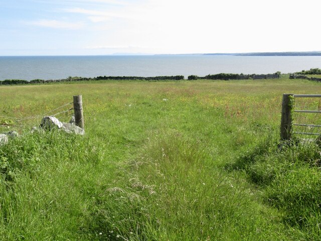
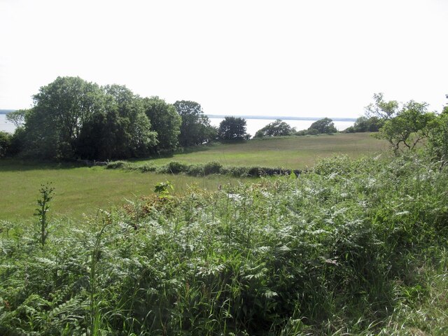
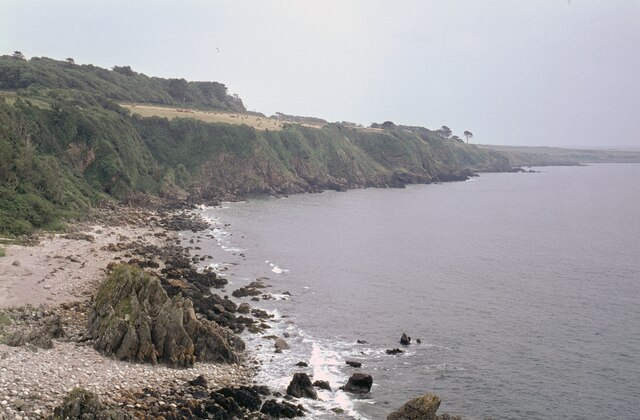
Kirkdale Glen is a picturesque valley located in Kirkcudbrightshire, Scotland. Situated near the town of Kirkcudbright, this scenic glen offers breathtaking natural beauty and a tranquil atmosphere for visitors to enjoy.

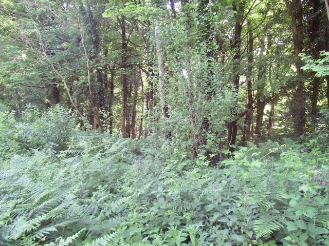
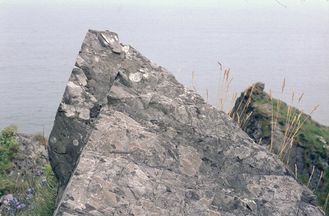
The glen is surrounded by rolling hills and dense woodlands, creating a stunning backdrop for outdoor enthusiasts. It is also home to the Kirkdale Water, a meandering river that flows through the valley, adding to its charm. The glen is known for its diverse wildlife, with various bird species, deer, and other small mammals frequently spotted in the area.

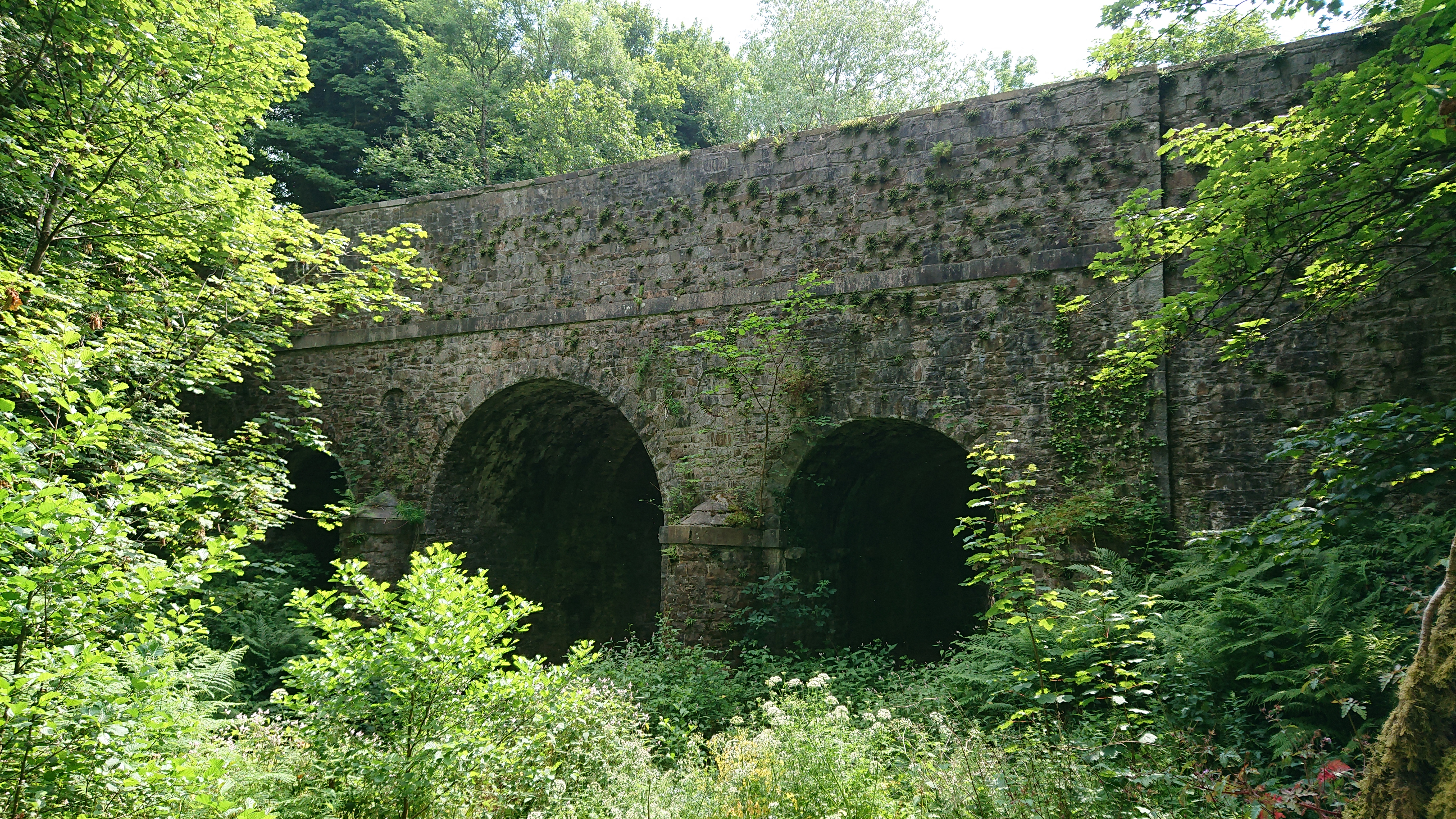
One of the main attractions in Kirkdale Glen is the ancient Kirkdale Bridge, a stone bridge that spans the Kirkdale Water. Built in the 18th century, the bridge is a testament to the area's rich history and architectural heritage. It offers a picturesque spot to admire the surrounding scenery and take memorable photographs.

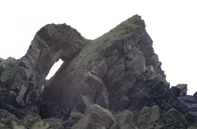
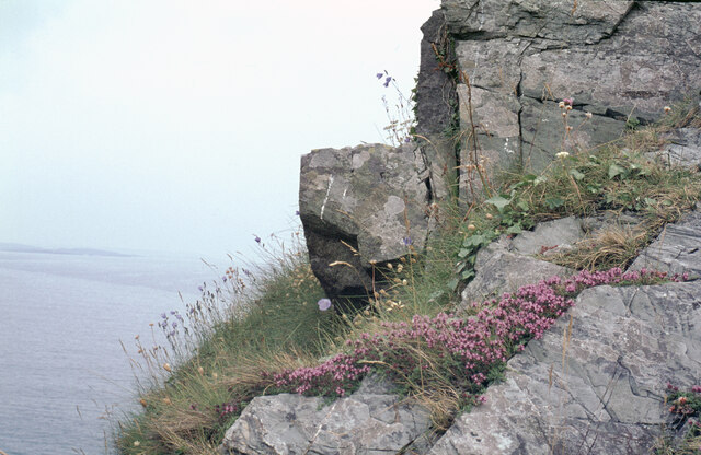
The glen also offers several walking trails, ranging from easy strolls to more challenging hikes, catering to different fitness levels and interests. These trails allow visitors to explore the glen's natural wonders, including cascading waterfalls, towering trees, and panoramic views of the surrounding countryside.

For those seeking a peaceful retreat, Kirkdale Glen provides ample opportunities for picnicking, nature watching, or simply unwinding amidst the tranquil setting. The glen's idyllic ambiance and unspoiled natural beauty make it a perfect destination for a day trip or a longer stay.

Overall, Kirkdale Glen in Kirkcudbrightshire is a hidden gem that showcases the best of Scotland's scenic landscapes, providing visitors with a memorable and immersive experience in the heart of nature.

If you have any feedback on the listing, please let us know in the comments section below.

Kirkdale Glen Images

Images are sourced within 2km of 54.854668/-4.3107509 or Grid Reference NX5153. Thanks to Geograph Open Source API. All images are credited.

Cliff-McCulloch Memorial on Cairny Hill Memorial to members of the Cliff-McCulloch family. The inscription reads:
Sacred | to the memory of | Janet McCulloch Cliff-McCulloch | the wife of | E. A. Cliff-McCulloch, | who died at Kirkclaugh, on the 28th March 1911, | in her 59th year. | "A woman greatly beloved." | And of her husband | Edward Adam Cliff-McCulloch | who died at Carlisle on the 31st August 1915, | in his 64th year, | and of their third son | Walter Alexander Cliff-McCulloch | Lieutenant, Royal Irish Rifles, | killed in action in France on the 27th February 1916 | and buried in the British Cemetery Vermelles, | aged 29 years. | And of their grand-son | Alexander Peter Cliff-McCulloch | Sgt. Air Gunner killed night 31st May - 1st June 1944 | on flying operations over North Sea, | aged 28 [y]ear[s]. | And of their eldest son | Willian Edward Clif[f]-McCulloch | father of Alexander P[e]ter | D[ie]d 1[3?]th Oct. 1957, [ag]ed 76 years.
Cliff-McCulloch Memorial on Cairny Hill
Memorial to members of the Cliff-McCulloch family. The inscription reads: Sacred | to the memory of | Janet McCulloch Cliff-McCulloch | the wife of | E. A. Cliff-McCulloch, | who died at Kirkclaugh, on the 28th March 1911, | in her 59th year. | "A woman greatly beloved." | And of her husband | Edward Adam Cliff-McCulloch | who died at Carlisle on the 31st August 1915, | in his 64th year, | and of their third son | Walter Alexander Cliff-McCulloch | Lieutenant, Royal Irish Rifles, | killed in action in France on the 27th February 1916 | and buried in the British Cemetery Vermelles, | aged 29 years. | And of their grand-son | Alexander Peter Cliff-McCulloch | Sgt. Air Gunner killed night 31st May - 1st June 1944 | on flying operations over North Sea, | aged 28 [y]ear[s]. | And of their eldest son | Willian Edward Clif[f]-McCulloch | father of Alexander P[e]ter | D[ie]d 1[3?]th Oct. 1957, [ag]ed 76 years.
Field, Ravenshall
Field, Ravenshall
Ravenshall Wood Between the coast and A75.
Ravenshall Wood
Between the coast and A75.
A75, Ravenshall
A75, Ravenshall
A75, Cairnhill
A75, Cairnhill
Fields, Kirkdale Above a steep drop to the shoreline.
Fields, Kirkdale
Above a steep drop to the shoreline.
Ravenshall Point Looking ESE along the shoreline of Wigtown Bay.
Ravenshall Point
Looking ESE along the shoreline of Wigtown Bay.
Rocks at Ravenshall Point The grid reference and direction are approximate.
Rocks at Ravenshall Point
The grid reference and direction are approximate.
Rocks at Ravenshall Point The coastline at Borness Point, south of Kirkcudbright, is seen on the left.
Rocks at Ravenshall Point
The coastline at Borness Point, south of Kirkcudbright, is seen on the left.
Rocks at Ravenshall Point A fine geological specimen! If I am given the technical details, I will happily include them.
Rocks at Ravenshall Point
A fine geological specimen! If I am given the technical details, I will happily include them.
Chambered Cairn at Cairnholy Cairnholy chambered cairns lie just off the A75 between Gatehouse of Fleet and Creetown.  The Cairns are well signposted and the single track road that leads you to them is very scenic.  Towards evening, if you are fortunate you may see owls gliding silently through the shadows of the woods.  The cairns may well have been part of a larger group of burials and are oriented in a north south direction with a magnificent view of the sunset across Wigtown Bay to the West.
Chambered Cairn at Cairnholy
Cairnholy chambered cairns lie just off the A75 between Gatehouse of Fleet and Creetown. The Cairns are well signposted and the single track road that leads you to them is very scenic. Towards evening, if you are fortunate you may see owls gliding silently through the shadows of the woods. The cairns may well have been part of a larger group of burials and are oriented in a north south direction with a magnificent view of the sunset across Wigtown Bay to the West.
Road cutting, Barholm Wood looking across the A75 at the Heughs of Barholm
Road cutting, Barholm Wood
looking across the A75 at the Heughs of Barholm
Cairnholy 1: chambered tomb Remains of neolithic chambered tomb, 4000-6000 years old. See also photo of Cairnholy 2, 150 yards from this one.
Cairnholy 1: chambered tomb
Remains of neolithic chambered tomb, 4000-6000 years old. See also photo of Cairnholy 2, 150 yards from this one.
Cairnholy 2: chambered tomb This is the second Cairnholy tomb: please also see the photo of Cairnholy 1. Tombs for the ancestors were important for the early farming communities that lived here in the neolithic period between 6000-4000 years ago.
Cairnholy 2: chambered tomb
This is the second Cairnholy tomb: please also see the photo of Cairnholy 1. Tombs for the ancestors were important for the early farming communities that lived here in the neolithic period between 6000-4000 years ago.
Cairnholy II Chambered Cairn Cairnholy II was excavated in 1949 along with its neighbour, Cairnholy I (see NX5153).  Finds from it included Beaker pottery.  The taller of the two portal stones seen here is 2.9 metres high.  The other has perhaps been broken.
Cairnholy II Chambered Cairn
Cairnholy II was excavated in 1949 along with its neighbour, Cairnholy I (see NX5153). Finds from it included Beaker pottery. The taller of the two portal stones seen here is 2.9 metres high. The other has perhaps been broken.
Barholm Castle Restored from a roofless ruin 2003-2006. Probably built in the late 16th Century by a branch of the McCulloch clan. Stands above the A75 overlooking Wigtown Bay.
Barholm Castle
Restored from a roofless ruin 2003-2006. Probably built in the late 16th Century by a branch of the McCulloch clan. Stands above the A75 overlooking Wigtown Bay.
Pasture Limit, Looking Down to Auchenlarie Burn Limit of the improved land used for pasture.
Pasture Limit, Looking Down to Auchenlarie Burn
Limit of the improved land used for pasture.
Standing stone One of the stones at the northern of the Cairnholy chambered cairns.  Barholm Hill forms a backdrop.
Standing stone
One of the stones at the northern of the Cairnholy chambered cairns. Barholm Hill forms a backdrop.
Show me another place!

Kirkdale Glen is located at Grid Ref: NX5153 (Lat: 54.854668, Lng: -4.3107509)

Unitary Authority: Dumfries and Galloway

Police Authority: Dumfries and Galloway

What 3 Words

///debater.pouting.aimlessly. Near Whithorn, Dumfries & Galloway

Nearby Locations

Kirkdale Kirkdale Glen

Related Wikis

Kirkdale Bridge

Kirkdale Bridge is a bridge over the Kirkdale Burn in the parish of Kirkmabreck, between Gatehouse of Fleet and Creetown in Dumfries and Galloway, Scotland...
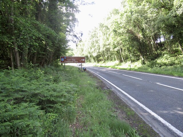
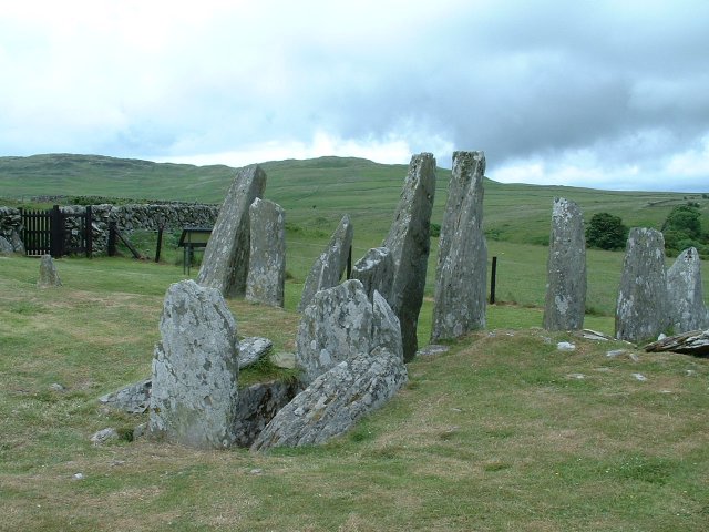
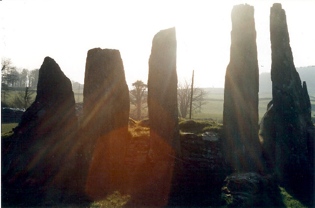
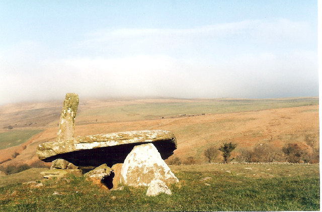
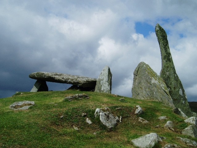
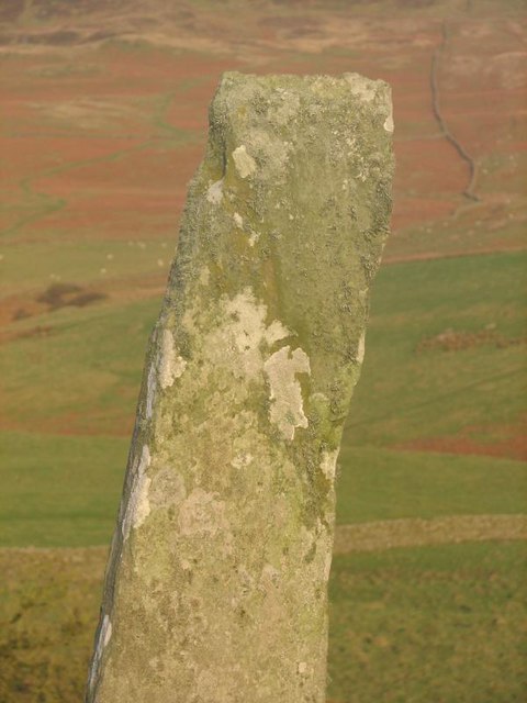
Cairnholy

Cairnholy (or Cairn Holy) is the site of two Neolithic chambered tombs of the Clyde type. It is located 4 kilometres east of the village of Carsluith in...
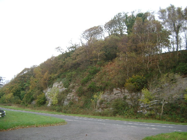
Ravenshall Wood

Ravenshall Wood is a Site of Special Scientific Interest, located 5 kilometres east of Creetown in the historic county of Kirkcudbrightshire, Dumfries...
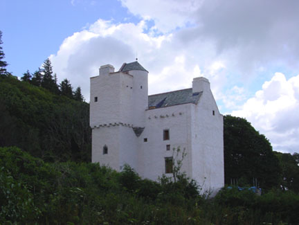
Barholm Castle

Barholm Castle is a tower house located 5 miles (8.0 km) south-west of Gatehouse of Fleet, in Kirkcudbrightshire, Galloway, Scotland. The tower dates back...

Nearby Amenities

Located within 500m of 54.854668,-4.3107509
Cairnholy 1
Alt Name: Carnholy I;Carn Holy;Kirkdale;Cairn Holy Chambered Cairn;Cairn Holy 1
Archaeological Site: megalith
Description: Cairn Holy, chambered cairn 190m SSW of Cairnholy
Historic: archaeological_site
Material: stone
Megalith Type: chambered_cairn
Website: https://www.megalithic.co.uk/article.php?sid=517
Wikidata: Q56667464
Lat/Long: 54.8578354/-4.3106806
Power: pole
Lat/Long: 54.8527591/-4.3158694
Power: pole
Lat/Long: 54.8531412/-4.3167057
Power: pole
Lat/Long: 54.8535675/-4.3176563
Power: pole
Lat/Long: 54.8558086/-4.3178847
Power: pole
Lat/Long: 54.8560823/-4.3163393
Power: pole
Lat/Long: 54.8563636/-4.3147688
Power: pole
Lat/Long: 54.8566007/-4.3134582
Power: pole
Lat/Long: 54.8568356/-4.3121764
Power: pole
Lat/Long: 54.8564744/-4.3111679
Power: pole
Lat/Long: 54.8562318/-4.3105232
Power: pole
Lat/Long: 54.8557034/-4.3090451
Power: pole
Lat/Long: 54.8552901/-4.307927
Power: pole
Lat/Long: 54.8550298/-4.3071764
Power: pole
Lat/Long: 54.8545246/-4.3058176
Power: pole
Lat/Long: 54.8540227/-4.3044454
Power: pole
Lat/Long: 54.8534533/-4.3036198
Power: pole
Lat/Long: 54.857405/-4.3123304
Power: pole
Lat/Long: 54.8579811/-4.3124978
Power: pole
Lat/Long: 54.8586546/-4.3118973
Power: pole
Lat/Long: 54.8526278/-4.3041298
Power: pole
Lat/Long: 54.8521692/-4.3054674
Power: pole
Lat/Long: 54.8517149/-4.3067915
Power: pole
Lat/Long: 54.8513537/-4.3071706
Power: pole
Lat/Long: 54.8508208/-4.306753
Power: pole
Lat/Long: 54.854153/-4.3183422
Power: pole
Lat/Long: 54.8544485/-4.3170754
Power: pole
Lat/Long: 54.8546069/-4.3161073
Power: pole
Lat/Long: 54.8547667/-4.3151742
Power: pole
Lat/Long: 54.8548728/-4.3144813
Power: pole
Lat/Long: 54.8550004/-4.3137092
Power: pole
Lat/Long: 54.8547869/-4.3132496
Grit Bin
Colour: Yellow
Material: plastic
Operator: Dumfries and Galloway Council
Source: survey
Lat/Long: 54.8522424/-4.3121881
Post Box
Collection Times: Mo-Fr 12:00; Sa 11:30
Operator: Royal Mail
Ref: DG8 26
Royal Cypher: GR
Royal Cypher Wikidata: Q33102273
Lat/Long: 54.8505178/-4.3116478
The data included in this document is from www.openstreetmap.org. The data is made available under ODbL.

Have you been to Kirkdale Glen?

Leave your review of Kirkdale Glen below (or comments, questions and feedback).