Auldnaw Glen

Valley in Ayrshire

Scotland

Auldnaw Glen

A new loch at Pennyvenie A closer look at the huge new lake at the Pennyvenie open-cast site. It’s as close as you can get for obvious safety reasons. Falling into this one would indeed be highly dangerous. <a href="https://www.geograph.org.uk/photo/1580590">NS5008 : Opencast lake</a> shows the lake in November 2009 when it wasn’t marked on the OS maps.
From 1997, planning consent for open-cast sites included the requirement to restore the land after mining operations stopped. When Scottish Coal went into liquidation in 2013, the Bond value failed to meet the restoration costs and, by 2018, the extensive higher-level sites were still in the same condition - no action at all.  It took enforcement action by East Ayrshire Council in 2018 to make the sites safe.
A new loch at Pennyvenie Credit: Mary and Angus Hogg

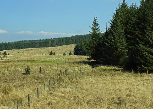
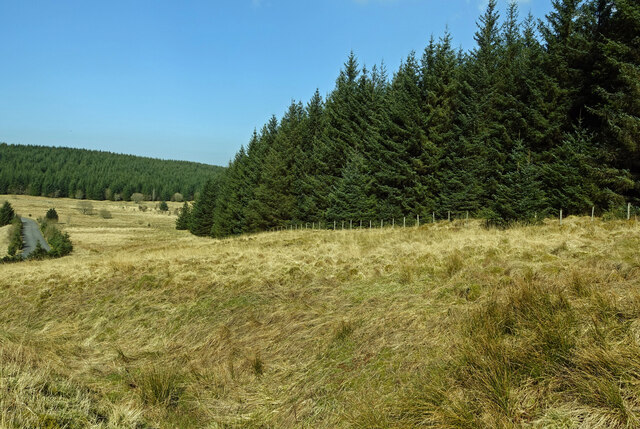
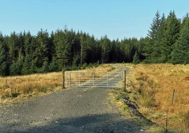
Auldnaw Glen is a picturesque valley located in the region of Ayrshire, Scotland. Situated near the village of Dalrymple, it is known for its natural beauty and serene atmosphere. The glen stretches for approximately 1.5 miles and is surrounded by rolling hills and dense woodland, making it a popular destination for nature enthusiasts and hikers.

The glen is home to a variety of wildlife, including native birds, mammals, and plant species. Visitors can often spot red squirrels, roe deer, and a diverse range of birdlife such as woodpeckers and owls. The area is also rich in flora, with bluebells, primroses, and wild garlic carpeting the forest floor during springtime.

Auldnaw Glen offers several walking trails, ranging from easy strolls to more challenging hikes. The paths wind through the glen, taking visitors past babbling brooks, waterfalls, and ancient ruins. One of the highlights of the glen is the Auld Brig, a historic stone bridge dating back to the 18th century that spans a small river.

The glen provides a tranquil and peaceful escape from the hustle and bustle of everyday life. Its secluded location and unspoiled natural surroundings make it an ideal spot for picnics, photography, or simply enjoying the sounds of nature. Whether exploring the glen's enchanting woodlands or admiring the stunning views from the hilltops, Auldnaw Glen offers a memorable experience for all who visit.

If you have any feedback on the listing, please let us know in the comments section below.
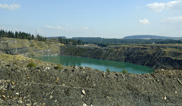
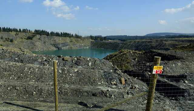
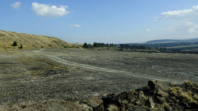
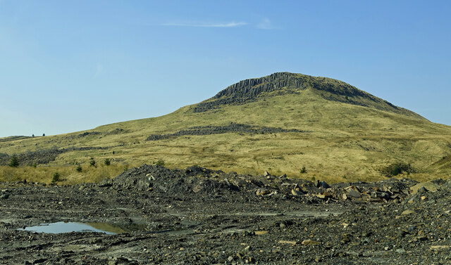
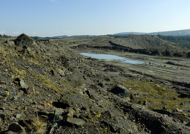
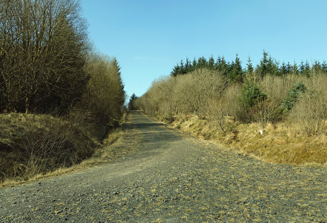
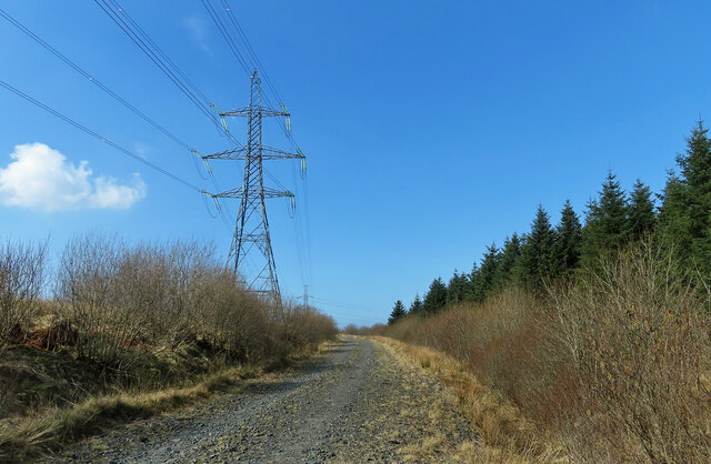
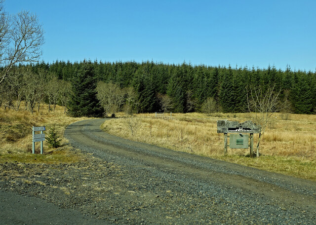
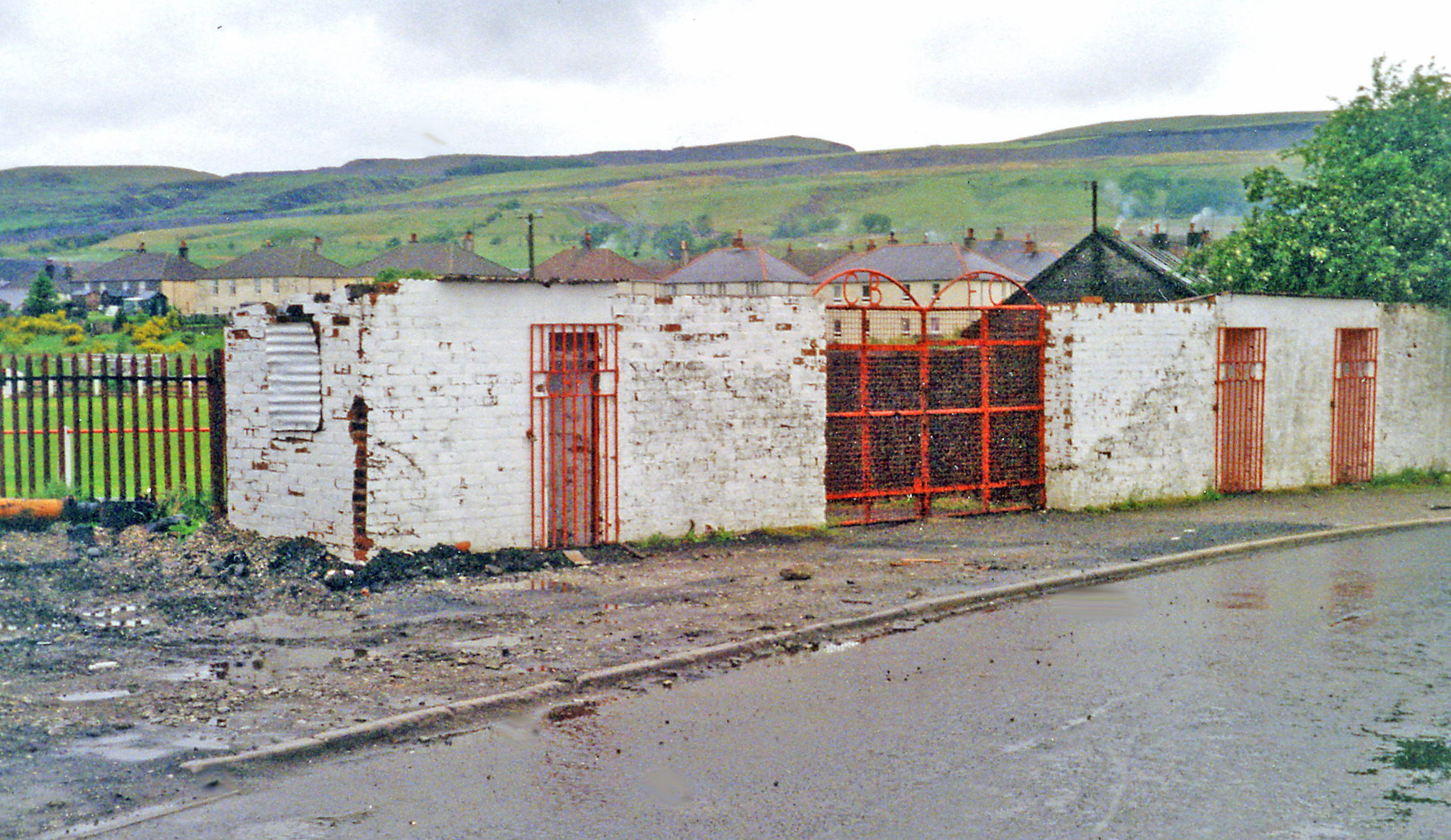
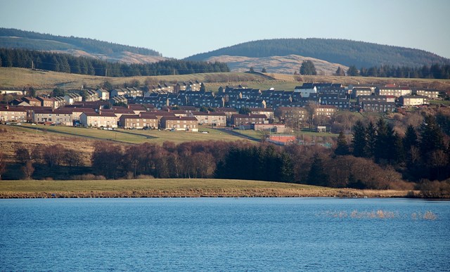
Auldnaw Glen Images

Images are sourced within 2km of 55.356719/-4.3434857 or Grid Reference NS5109. Thanks to Geograph Open Source API. All images are credited.

A new loch at Pennyvenie A closer look at the huge new lake at the Pennyvenie open-cast site. It’s as close as you can get for obvious safety reasons. Falling into this one would indeed be highly dangerous. <a href="https://www.geograph.org.uk/photo/1580590">NS5008 : Opencast lake</a> shows the lake in November 2009 when it wasn’t marked on the OS maps.
From 1997, planning consent for open-cast sites included the requirement to restore the land after mining operations stopped. When Scottish Coal went into liquidation in 2013, the Bond value failed to meet the restoration costs and, by 2018, the extensive higher-level sites were still in the same condition - no action at all.  It took enforcement action by East Ayrshire Council in 2018 to make the sites safe.
A new loch at Pennyvenie
A closer look at the huge new lake at the Pennyvenie open-cast site. It’s as close as you can get for obvious safety reasons. Falling into this one would indeed be highly dangerous. NS5008 : Opencast lake shows the lake in November 2009 when it wasn’t marked on the OS maps. From 1997, planning consent for open-cast sites included the requirement to restore the land after mining operations stopped. When Scottish Coal went into liquidation in 2013, the Bond value failed to meet the restoration costs and, by 2018, the extensive higher-level sites were still in the same condition - no action at all. It took enforcement action by East Ayrshire Council in 2018 to make the sites safe.
Danger – deep water A huge lake has been created at the Pennyvenie open-cast site. It’s well fenced-off with plenty warning signs to keep people away. It’s visible only if you stand on the piled-up rocks along the access road. <a href="https://www.geograph.org.uk/photo/4191846">NS5008 : Former opencast site east of Benbeoch</a> views the lake from above from the slopes of Benbeoch in 2014.
From 1997, planning consent for open-cast sites included the requirement to restore the land after mining operations stopped. When Scottish Coal went into liquidation in 2013, the Bond value failed to meet the restoration costs and, by 2018, the extensive higher-level sites were still in the same condition - no action at all. It took enforcement action by East Ayrshire Council in 2018 to make the sites safe.
Danger – deep water
A huge lake has been created at the Pennyvenie open-cast site. It’s well fenced-off with plenty warning signs to keep people away. It’s visible only if you stand on the piled-up rocks along the access road. NS5008 : Former opencast site east of Benbeoch views the lake from above from the slopes of Benbeoch in 2014. From 1997, planning consent for open-cast sites included the requirement to restore the land after mining operations stopped. When Scottish Coal went into liquidation in 2013, the Bond value failed to meet the restoration costs and, by 2018, the extensive higher-level sites were still in the same condition - no action at all. It took enforcement action by East Ayrshire Council in 2018 to make the sites safe.
Old open-cast workings This part of the Pennyvenie open-cast mine has been smoothed out. This was where the mining gave way to forest. A huge lake lies beyond the fence on the right.
Old open-cast workings
This part of the Pennyvenie open-cast mine has been smoothed out. This was where the mining gave way to forest. A huge lake lies beyond the fence on the right.
Towards Benbeoch Craig Looking towards Benbeoch Craig from the edge of the old Pennyvenie open-cast workings on a bright late-March morning.
Towards Benbeoch Craig
Looking towards Benbeoch Craig from the edge of the old Pennyvenie open-cast workings on a bright late-March morning.
Remains of Pennyvenie Colliery It's now a black moonscape scene after the closure of the open-cast colliery. When we used coal in the early 1980s, Pennyvenie Splint was considered to be the best domestic low-smoke fuel around. 
<a href="https://www.geograph.org.uk/photo/2723412">NS4908 : North-eastern slope of Benbeoch</a> viewed from the NE slope of Benbeoch shows what this place was like in October 2007.
Remains of Pennyvenie Colliery
It's now a black moonscape scene after the closure of the open-cast colliery. When we used coal in the early 1980s, Pennyvenie Splint was considered to be the best domestic low-smoke fuel around. NS4908 : North-eastern slope of Benbeoch viewed from the NE slope of Benbeoch shows what this place was like in October 2007.
Old open-cast site near Benbain This area is fenced off with plenty safety warning signs.
Old open-cast site near Benbain
This area is fenced off with plenty safety warning signs.
Forest power line The power line changes direction here, partly to avoid the old open-cast site, partly to take advantage of the existing forest track for access.
Forest power line
The power line changes direction here, partly to avoid the old open-cast site, partly to take advantage of the existing forest track for access.
Forest track near Benbain The track that climbs up the hill continues for about 4 Km. The route on the left ends abruptly at the old Pennyvenie open-cast site.
Forest track near Benbain
The track that climbs up the hill continues for about 4 Km. The route on the left ends abruptly at the old Pennyvenie open-cast site.
Power line through the forest The line connects a new sub-station with the larger Coylton Sub-station.
Power line through the forest
The line connects a new sub-station with the larger Coylton Sub-station.
Upper Beoch Road This private road leads to Upper Beoch Farm, now the premises of Emmer Ltd., manufacturers of specialist plastic containers.
Upper Beoch Road
This private road leads to Upper Beoch Farm, now the premises of Emmer Ltd., manufacturers of specialist plastic containers.
Beoch Lane view The forest planting stopped above the level of this low-lying area occupied by Beoch Lane.
Beoch Lane view
The forest planting stopped above the level of this low-lying area occupied by Beoch Lane.
Forest edge The forest stretches downhill to Beoch Lane.
Forest edge
The forest stretches downhill to Beoch Lane.
Forest track for Rig Hill This is one of the forest access tracks that lead to Rig Hill. A lot of recent clear-felling has taken place in this area.
Forest track for Rig Hill
This is one of the forest access tracks that lead to Rig Hill. A lot of recent clear-felling has taken place in this area.
Upper Beoch access road The signs make it clear that this is not the way to reach the New Cumnock electricity sub-station.
Upper Beoch access road
The signs make it clear that this is not the way to reach the New Cumnock electricity sub-station.
A forestry clear fell area This was viewed close to the junction of the B741 Dalmellington to New Cumnock road and the Prickeny Road forest track.
A forestry clear fell area
This was viewed close to the junction of the B741 Dalmellington to New Cumnock road and the Prickeny Road forest track.
B741 looking southwest towards Dalmellington
B741 looking towards New Cumnock
Forest and clearfell This is viewed from the B741.
Forest and clearfell
This is viewed from the B741.
Show me another place!

Auldnaw Glen is located at Grid Ref: NS5109 (Lat: 55.356719, Lng: -4.3434857)

Unitary Authority: East Ayrshire

Police Authority: Ayrshire

What 3 Words

///stay.nuns.decorator. Near Dalmellington, East Ayrshire

Nearby Locations

Auldnaw Glen

Related Wikis

Dalmellington

Dalmellington (Scots: Dawmellinton, Scottish Gaelic: Dail M'Fhaolain) is a market town and civil parish in East Ayrshire, Scotland. In 2001 the village...

Doon Academy

Doon Academy is a secondary school in Dalmellington that caters to the local surrounding areas Dalmellington, Patna, Rankinston and Bellsbank. The current...

Dalmellington railway station

Dalmellington railway station served the town of Dalmellington, East Ayrshire, Scotland, from 1856 to 1964 on the Ayr and Dalmellington Railway. ��2�...

Bellsbank

Bellsbank is a village half a mile away from the market town of Dalmellington in East Ayrshire, Scotland. It is the second-highest place in East Ayrshire...

Have you been to Auldnaw Glen?

Leave your review of Auldnaw Glen below (or comments, questions and feedback).