Nant Iâr

Valley in Carmarthenshire

Wales

Nant Iâr

A485 through Aber Giar Approaching Norwood Gardens entrance
A485 through Aber Giar Credit: John Firth

Nant Iâr is a picturesque valley located in Carmarthenshire, Wales. Situated in the western part of the county, it is a popular destination for nature lovers and outdoor enthusiasts. The valley is known for its stunning natural beauty, with rolling hills, lush green meadows, and a meandering river that flows through the landscape.

Nant Iâr offers a peaceful and serene environment, away from the hustle and bustle of city life. The valley is home to a diverse range of flora and fauna, including several rare and protected species. Visitors can explore the area on foot by following the numerous walking trails that wind through the valley, providing breathtaking views of the surrounding countryside.

The valley is also rich in history and heritage. There are several ancient archaeological sites in the area, including burial mounds and standing stones, which offer an insight into the valley's past. Additionally, Nant Iâr is home to a number of traditional Welsh villages, where visitors can experience the local culture and hospitality.

For those seeking outdoor adventures, Nant Iâr offers opportunities for a variety of activities such as cycling, fishing, and birdwatching. The river that runs through the valley is renowned for its excellent fishing spots, attracting anglers from near and far.

In summary, Nant Iâr is a stunning valley in Carmarthenshire that offers a tranquil escape into nature, with its beautiful landscapes, rich history, and abundant wildlife. It is a must-visit destination for those looking to immerse themselves in the natural beauty of Wales.

If you have any feedback on the listing, please let us know in the comments section below.
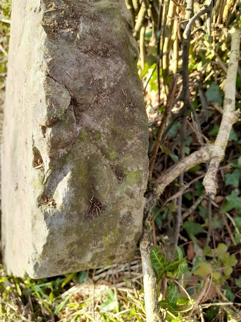
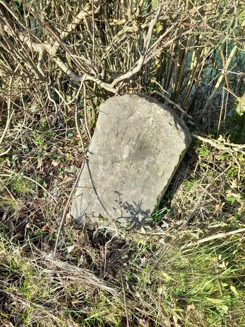
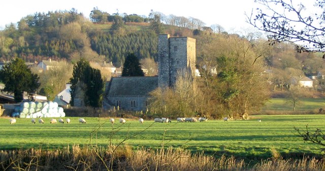
Nant Iâr Images

Images are sourced within 2km of 52.03583/-4.1817134 or Grid Reference SN5039. Thanks to Geograph Open Source API. All images are credited.

A485 through Aber Giar Approaching Norwood Gardens entrance
A485 through Aber Giar
Approaching Norwood Gardens entrance
Norwood Gardens entrance from A485
Pompren dros nant / A footbridge over a stream Pompren fach yn rhychwantu nant ddienw.

A small footbridge spans a small unnamed stream.
Pompren dros nant / A footbridge over a stream
Pompren fach yn rhychwantu nant ddienw. A small footbridge spans a small unnamed stream.
Llwybr yn gadael yr heol / Path exits the road Llwybr troed cyhoeddus yn gadael heol fach ger anhedd-dy o'r enw Hengae.

A public footpath exits a minor road near a property known as Hengae (trans. old field).
Llwybr yn gadael yr heol / Path exits the road
Llwybr troed cyhoeddus yn gadael heol fach ger anhedd-dy o'r enw Hengae. A public footpath exits a minor road near a property known as Hengae (trans. old field).
Llwybr ger Clyn-melyn / Path near Clyn-melyn Llwybr troed cyhoeddus ger anhedd-dy o'r enw Clun-melyn.

A public footpath near a property known as Clun-melyn (trans. yellow / brown meadow).
Llwybr ger Clyn-melyn / Path near Clyn-melyn
Llwybr troed cyhoeddus ger anhedd-dy o'r enw Clun-melyn. A public footpath near a property known as Clun-melyn (trans. yellow / brown meadow).
Ordnance Survey Pivot This OS pivot can be found on the milestone NW side of the road. It marks a point 176.311m above mean sea level. <a title="https://www.geograph.org.uk/photo/7400908" href="https://www.geograph.org.uk/photo/7400908">Link</a>
Ordnance Survey Pivot
This OS pivot can be found on the milestone NW side of the road. It marks a point 176.311m above mean sea level. Link
Milestone - Carmarthen 13 Badly leaning now. There is an Ordnance Survey pivot on the top of the stone. <a title="https://www.geograph.org.uk/photo/7400904" href="https://www.geograph.org.uk/photo/7400904">Link</a>
Milestone - Carmarthen 13
Badly leaning now. There is an Ordnance Survey pivot on the top of the stone. Link
Ordnance Survey Cut Mark This OS cut mark can be found on the roadside barn at Plasbach. It marks a point 168.589m above mean sea level.
Ordnance Survey Cut Mark
This OS cut mark can be found on the roadside barn at Plasbach. It marks a point 168.589m above mean sea level.
Ordnance Survey Cut Mark This OS cut mark can be found on the roadside barn at Ffynnon-ddrain. It marks a point 135.145m above mean sea level.
Ordnance Survey Cut Mark
This OS cut mark can be found on the roadside barn at Ffynnon-ddrain. It marks a point 135.145m above mean sea level.
Crug y Biswail Cerddwyr yn croesi'r mynydd ar ol ymweld a Chrug y Biswail sef tomen gladdu o'r Oes Efydd a welir yn y pellter. 

Walkers crossing the moorland after visiting Crug y Biswail (trans. dung mound), a Bronge Age barrow visible in the distance.
Crug y Biswail
Cerddwyr yn croesi'r mynydd ar ol ymweld a Chrug y Biswail sef tomen gladdu o'r Oes Efydd a welir yn y pellter. Walkers crossing the moorland after visiting Crug y Biswail (trans. dung mound), a Bronge Age barrow visible in the distance.
Crug-y-Biswall The Royal Commission on the Ancient & Historical Monuments of Wales state, 'A centrally robbed round cairn, 22m diameter and 1.6m high. Excavated 1907 (RCAHM 1917 (Carmarthenshire), 173 [519]), when a second mound, was said to have been removed.'
Crug-y-Biswall
The Royal Commission on the Ancient & Historical Monuments of Wales state, 'A centrally robbed round cairn, 22m diameter and 1.6m high. Excavated 1907 (RCAHM 1917 (Carmarthenshire), 173 [519]), when a second mound, was said to have been removed.'
Castell Nonni An ancient motte.
Castell Nonni
An ancient motte.
Power lines
Power lines
Looking towards Mynydd Llanllwni
Down the bridleway
Down the bridleway
Celtic Classics Classic car showroom.
Celtic Classics
Classic car showroom.
A485 passes through Llanllwni
A485 at Tegfan Garage North side of Llanllwni
A485 at Tegfan Garage
North side of Llanllwni
Show me another place!

Nant Iâr is located at Grid Ref: SN5039 (Lat: 52.03583, Lng: -4.1817134)

Unitary Authority: Carmarthenshire

Police Authority: Dyfed Powys

What 3 Words

///faded.scrub.pickle. Near Pencader, Carmarthenshire

Nearby Locations

Nant Iâr

Related Wikis

Aber-giar

Aber-giar (Welsh: Abergiâr) is a village in the community of Llanllwni in Carmarthenshire, Wales.

Llanllwni

Llanllwni is a village and community in Carmarthenshire, Wales, on the A485 road south-west of Llanybydder. To the south lies the mountain, Mynydd Llanllwni...

Maesycrugiau railway station

Maesycrugiau railway station also Maes-y-crugiau railway station served the hamlet and rural locale of Maesycrugiau near Llanllwni on the Carmarthen Aberystwyth...

Highmead

Highmead is a small village in the community of Llanwenog, Ceredigion, Wales, which is 59.2 miles (95.3 km) from Cardiff and 177.7 miles (286 km) from...

Rhuddlan, Ceredigion

Rhuddlan, Ceredigion is a small village in the community of Llanwenog, Ceredigion, Wales. Rhuddlan is represented in the Senedd by Elin Jones (Plaid Cymru...

New Inn, Carmarthenshire

New Inn is a small village located in Carmarthenshire, Wales with a population of 348. It is situated along the A485 A road between Llanllwni and Gwyddgrug...

Llanybydder

Llanybydder (Welsh pronunciation: [ˌɬanəˈbəðɛr], sometimes formerly spelt Llanybyther) is a market town and community straddling the River Teifi in Carmarthenshire...

Blaenborthyn

Blaenborthyn is a small village in the community of Llandysul, Ceredigion, Wales, which is 60.4 miles (97.2 km) from Cardiff and 179.9 miles (289.5 km...

Related Videos

Nearby Amenities

Located within 500m of 52.03583,-4.1817134
Waterway: weir
Lat/Long: 52.035251/-4.1778307
Barrier: bollard
Lat/Long: 52.0354068/-4.1782553
Barrier: bollard
Lat/Long: 52.0354148/-4.1782334
The data included in this document is from www.openstreetmap.org. The data is made available under ODbL.

Have you been to Nant Iâr?

Leave your review of Nant Iâr below (or comments, questions and feedback).