Lambton
Settlement in Durham
England
Lambton
Lambton is a small community located in the Durham Region of Ontario, Canada. Situated about 60 kilometers east of Toronto, Lambton is part of the larger township of Scugog. The town is named after John Lambton, the first Earl of Durham, who was a prominent British politician during the early 19th century.
Lambton is characterized by its picturesque natural surroundings, with its location on the shores of Lake Scugog offering residents and visitors breathtaking views and a variety of recreational activities. The town is known for its love of outdoor pursuits, with boating, fishing, and swimming being popular pastimes among residents during the warmer months. In the winter, the frozen lake provides opportunities for ice fishing and ice skating.
The community of Lambton is relatively small, with a population of around 1,500 people. Despite its modest size, Lambton boasts a tight-knit and friendly community atmosphere. The town is home to a few local businesses, including a grocery store, a post office, and a handful of restaurants and shops. For more extensive shopping and amenities, residents often travel to nearby larger towns such as Port Perry or Oshawa.
Lambton is also proud of its rich history, with several heritage buildings and landmarks scattered throughout the town. The Lambton Heritage Museum offers a glimpse into the area's past, showcasing artifacts and exhibits that highlight the town's agricultural roots and early settlement.
Overall, Lambton is a peaceful and scenic community that provides a serene escape from the hustle and bustle of city life.
If you have any feedback on the listing, please let us know in the comments section below.
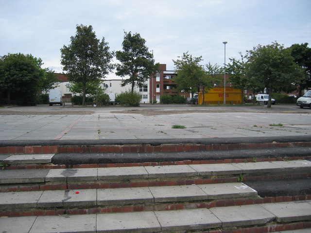
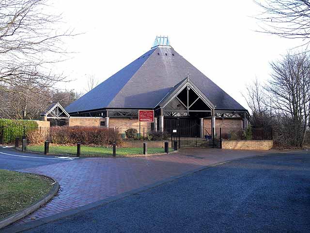
Lambton Images
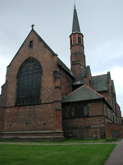
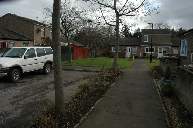
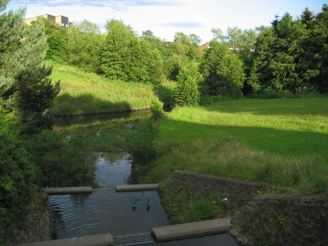
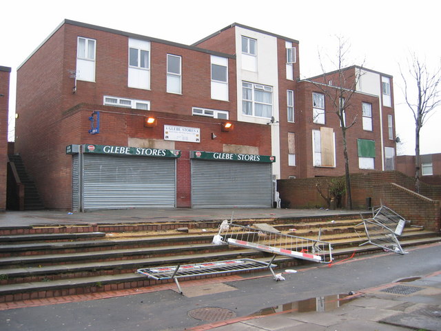
Images are sourced within 2km of 54.890614/-1.541411 or Grid Reference NZ2955. Thanks to Geograph Open Source API. All images are credited.


Lambton is located at Grid Ref: NZ2955 (Lat: 54.890614, Lng: -1.541411)
Unitary Authority: Sunderland
Police Authority: Northumbria
What 3 Words
///plots.long.jeeps. Near Washington, Tyne & Wear
Related Wikis

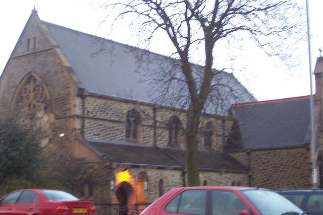
Lambton, Tyne and Wear
Lambton is an area of Washington, in the City of Sunderland metropolitan borough in Tyne and Wear, England. It lies about 2 miles (3 km) northeast of Chester...
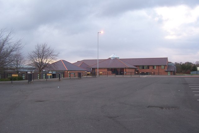
Oxclose Community Academy
Oxclose Community Academy (formerly Oxclose Community School) is a coeducational secondary school located in Oxclose in the City of Sunderland, Tyne and...
Oxclose
Oxclose is an area of Washington, Tyne and Wear, England. It is located between the A1231, A182 and A195 highways, close to Sunderland, and is well served...

Fatfield
Fatfield is an area of Washington, in the City of Sunderland metropolitan borough in Tyne and Wear, England. == Description == Fatfield is an area of Washington...

Harraton
Harraton is a suburb of Washington, in the City of Sunderland metropolitan borough, in Tyne and Wear, England. Harraton is near the River Wear and is 3...

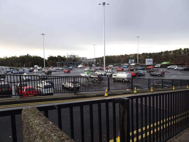
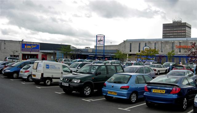
Galleries Shopping Centre, Washington
Galleries Shopping Centre is a shopping centre located in Washington, City of Sunderland. == Shops == The shopping centre comprises over 200 retail units...
St Robert of Newminster Catholic School
St Robert of Newminster Catholic School is a co-educational secondary school and sixth form located in Washington in the City of Sunderland, Tyne and Wear...
Fatfield Woods
Fatfield Woods is a woodland in Tyne and Wear, England, near Washington. It covers a total area of 8.99 hectares (22.21 acres). It is owned and managed...
Nearby Amenities
Located within 500m of 54.890614,-1.541411Have you been to Lambton?
Leave your review of Lambton below (or comments, questions and feedback).