Allt Moeddyn
Valley in Cardiganshire
Wales
Allt Moeddyn
Allt Moeddyn is a small valley located in the county of Cardiganshire, Wales. Situated in the western part of the country, the valley is known for its picturesque beauty and tranquil environment. It is surrounded by rolling hills and lush greenery, making it a popular destination for nature lovers and outdoor enthusiasts.
The valley is home to a diverse range of flora and fauna, including various species of birds, mammals, and plants. Visitors can often spot red kites soaring above the valley, adding to the area's natural charm. The landscape is dotted with meandering streams and small waterfalls, creating a soothing ambiance for those who enjoy peaceful walks or picnics in nature.
Allt Moeddyn also has a rich history, with evidence of human settlement dating back thousands of years. Archaeological discoveries, such as ancient burial sites and stone circles, highlight the area's significance in prehistoric times. The valley's historical significance is further enhanced by the ruins of a medieval castle, which once stood proudly on a hilltop overlooking the landscape.
Despite its remote location, Allt Moeddyn is easily accessible by road, and there are several walking trails that allow visitors to explore the valley and its surroundings. The area attracts a mix of locals and tourists, who come to appreciate the valley's natural beauty and immerse themselves in its peaceful atmosphere.
In summary, Allt Moeddyn is a picturesque valley in Cardiganshire, Wales, known for its stunning landscapes, diverse wildlife, and rich historical heritage. It offers a peaceful retreat for nature lovers and history enthusiasts alike.
If you have any feedback on the listing, please let us know in the comments section below.
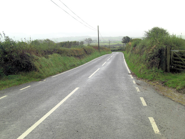
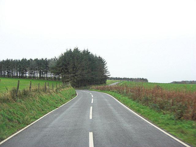
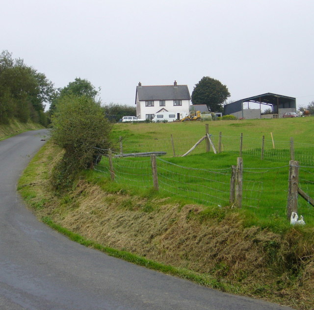
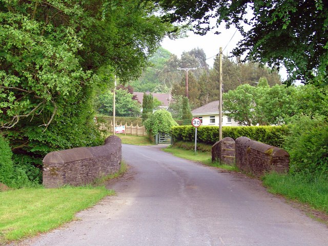
Allt Moeddyn Images
Images are sourced within 2km of 52.142582/-4.2198719 or Grid Reference SN4851. Thanks to Geograph Open Source API. All images are credited.


Allt Moeddyn is located at Grid Ref: SN4851 (Lat: 52.142582, Lng: -4.2198719)
Unitary Authority: Ceredigion
Police Authority: Dyfed Powys
What 3 Words
///defensive.shower.this. Near Llanarth, Ceredigion
Nearby Locations
Related Wikis

Gorsgoch
Gorsgoch () is a small rural village located on the B4338 road near Lampeter in the county of Ceredigion, Wales. The town of Lampeter is 7 miles away and...

Troed y Rhiw
Troed y Rhiw (foot of the hill in English) is a hamlet in Ceredigion approximately midway between Cribyn and Dihewyd in the rolling agricultural land between...
Aber, Ceredigion
Aber, Ceredigion is a hamlet in the community of Llanwenog, Ceredigion, Wales. Aber is represented in the Senedd by Elin Jones (Plaid Cymru) and is part...

Cwrtnewydd
Cwrtnewydd, or Cwrt-newydd, or Cwrt Newydd, is a village in the community and parish of Llanwenog, towards the south of the county of Ceredigion, Wales...
Cribyn
Cribyn is a small village in Ceredigion, Wales, about 7 miles (11 km) north of Lampeter and with the villages of Troed y Rhiw, Mydroilyn and Dihewyd to...

Dihewyd
Dihewyd is a parish in the county of Ceredigion, West Wales with a population of about 200 people. It is 5 miles (8 km) from Aberaeron and 8 miles (13...

Mydroilyn
Mydroilyn is a village in the parish of Llanarth, Ceredigion, Wales, situated along the B4342 road. The name of the village is derived from the confluence...
Bwlchyfadfa
Bwlchyfadfa is a hamlet in the community of Llandysul, Ceredigion, Wales, which is 64.9 miles (104.4 km) from Cardiff and 182.5 miles (293.8 km) from London...
Nearby Amenities
Located within 500m of 52.142582,-4.2198719Have you been to Allt Moeddyn?
Leave your review of Allt Moeddyn below (or comments, questions and feedback).