Killoch Glen
Valley in Renfrewshire
Scotland
Killoch Glen
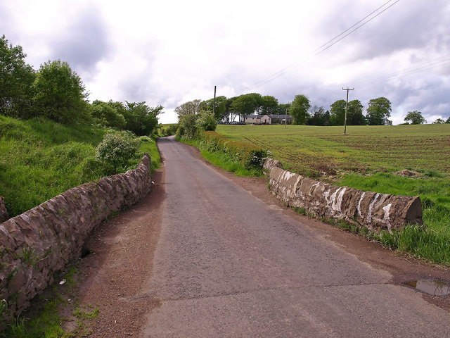
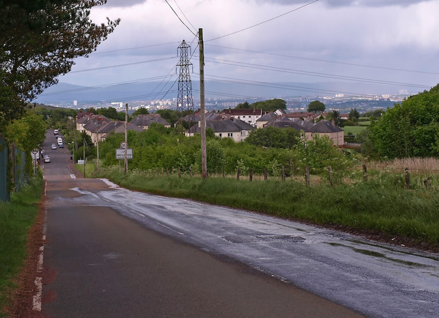
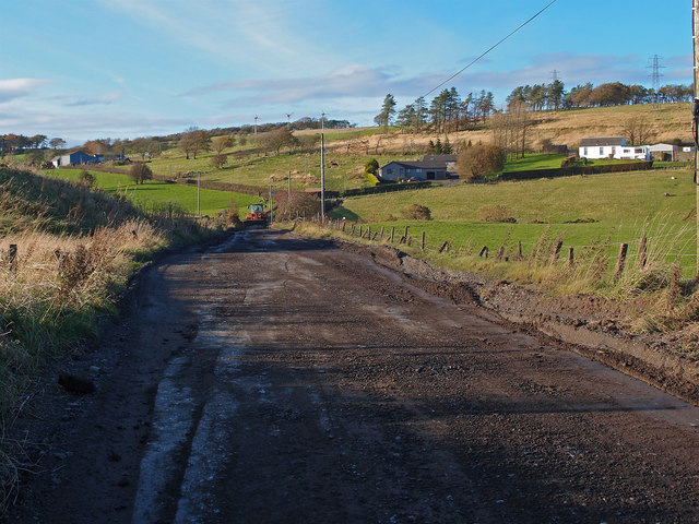
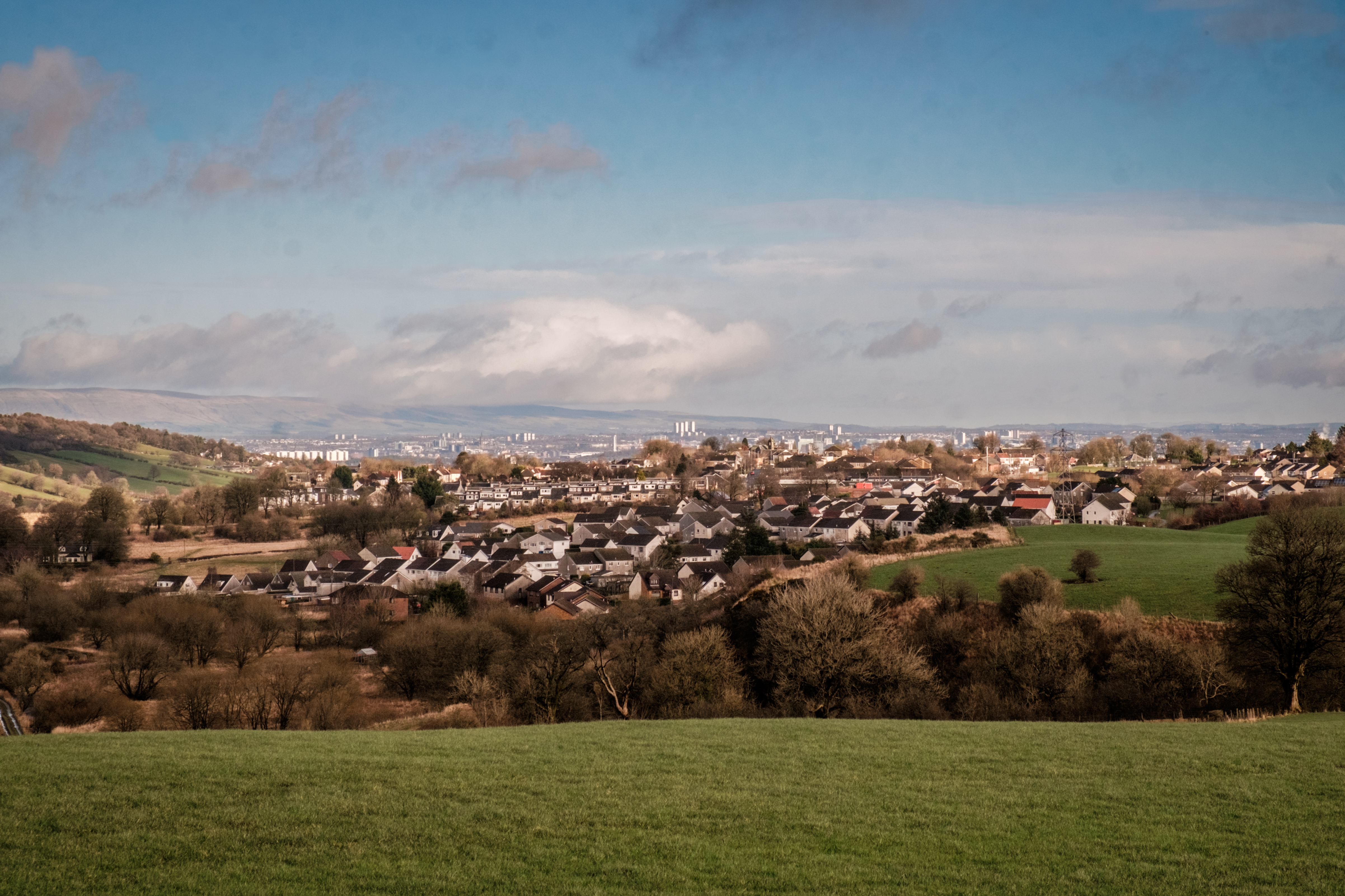
Killoch Glen, situated in Renfrewshire, is a picturesque valley renowned for its natural beauty and tranquil atmosphere. Located in the southwest of Scotland, this glen is nestled between the villages of Kilbarchan and Lochwinnoch, offering visitors a peaceful escape from the hustle and bustle of urban life.
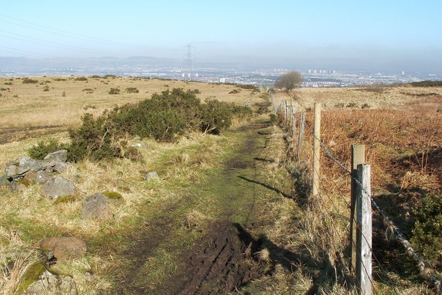
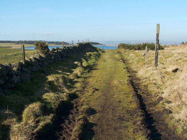
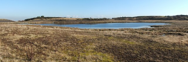
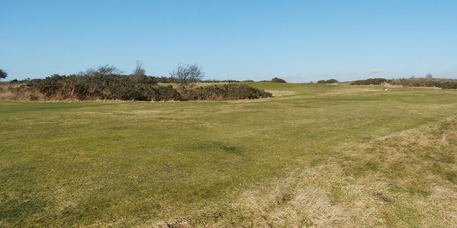
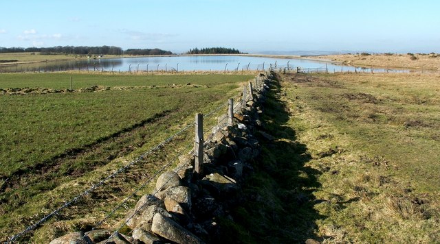
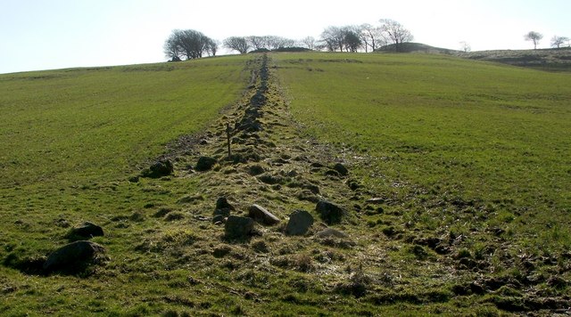
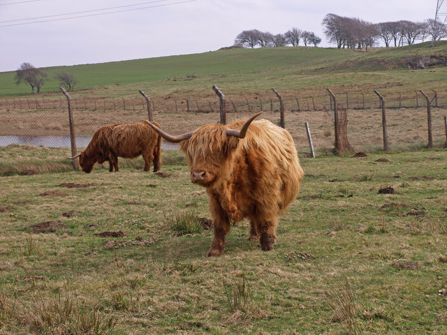
The glen is characterized by its lush greenery, rolling hills, and meandering streams, creating a breathtaking landscape that attracts nature enthusiasts and hikers alike. The glen is home to a diverse range of flora and fauna, including various species of wildflowers, mosses, and ferns, as well as an array of birdlife and small mammals.
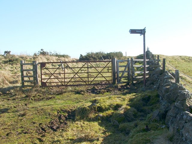
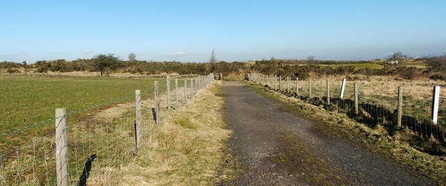
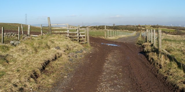
Popular walking trails wind their way through the glen, offering visitors the chance to explore its natural wonders. The paths are well-maintained and provide stunning views of the surrounding countryside, making it an ideal location for outdoor activities such as hiking, cycling, and picnicking.
Killoch Glen also boasts historical significance, with remnants of ancient settlements and historic sites scattered throughout the area. Archaeological evidence suggests that the glen was inhabited as far back as the Bronze Age, and relics such as standing stones and burial mounds can still be found today, providing a glimpse into the region's rich history.
Overall, Killoch Glen is a hidden gem in Renfrewshire, offering visitors a serene and enchanting experience in the heart of nature. Whether it's a leisurely stroll, a challenging hike, or a peaceful retreat, this valley has something to offer for everyone seeking solace in Scotland's natural beauty.
If you have any feedback on the listing, please let us know in the comments section below.
Killoch Glen Images
Images are sourced within 2km of 55.791747/-4.4305252 or Grid Reference NS4758. Thanks to Geograph Open Source API. All images are credited.

Killoch Glen is located at Grid Ref: NS4758 (Lat: 55.791747, Lng: -4.4305252)
Unitary Authority: East Renfrewshire
Police Authority: Greater Glasgow
What 3 Words
///whips.person.drift. Near Neilston, East Renfrewshire
Nearby Locations
Related Wikis

Neilston Low railway station
Neilston Low railway station was a railway station serving the town of Neilston, East Renfrewshire, Scotland. The station was originally part of the Glasgow...
Neilston
Neilston (Scots: Neilstoun, Scottish Gaelic: Baile Nèill, pronounced [paləˈnɛːʎ]) is a village and parish in East Renfrewshire in the west central Lowlands...
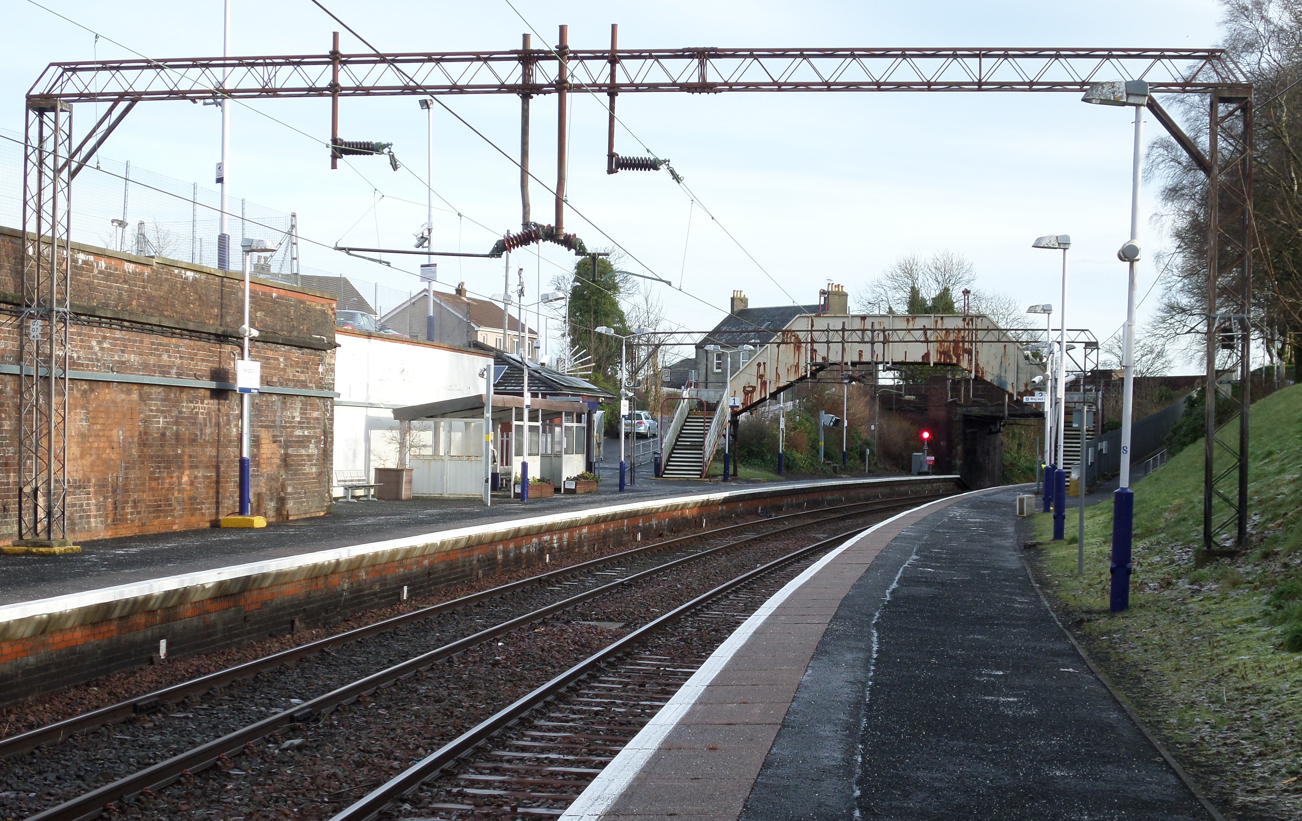
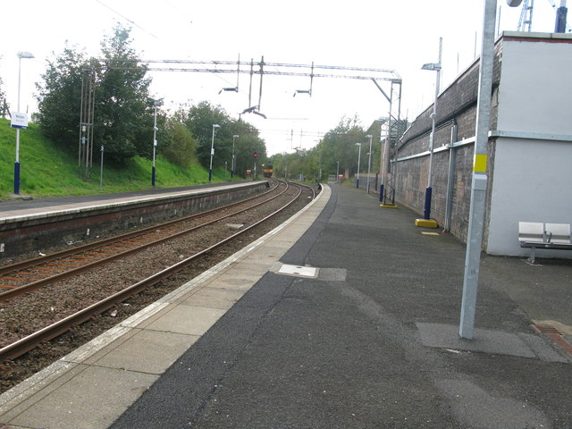
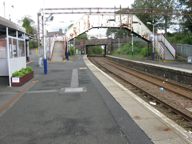
Neilston railway station
Neilston railway station is a railway station in the village of Neilston, East Renfrewshire, Greater Glasgow, Scotland. The station is managed by ScotRail...
Neilston F.C.
Neilston Football Club are a Scottish football club based in Neilston, East Renfrewshire who currently play in the West of Scotland League First Division...
Nearby Amenities
Located within 500m of 55.791747,-4.4305252Have you been to Killoch Glen?
Leave your review of Killoch Glen below (or comments, questions and feedback).