Shot Cleugh
Valley in Kirkcudbrightshire
Scotland
Shot Cleugh
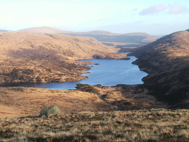
Shot Cleugh is a picturesque valley located in Kirkcudbrightshire, a historic county in southwestern Scotland. Nestled amidst the rolling hills and lush greenery, this tranquil valley offers visitors a captivating experience of the Scottish countryside.
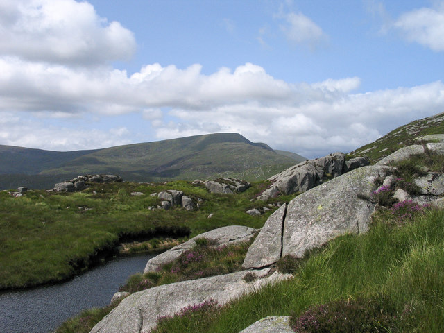
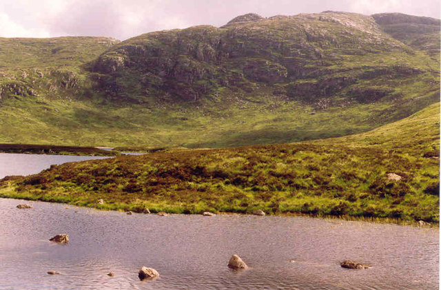
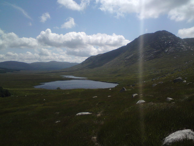
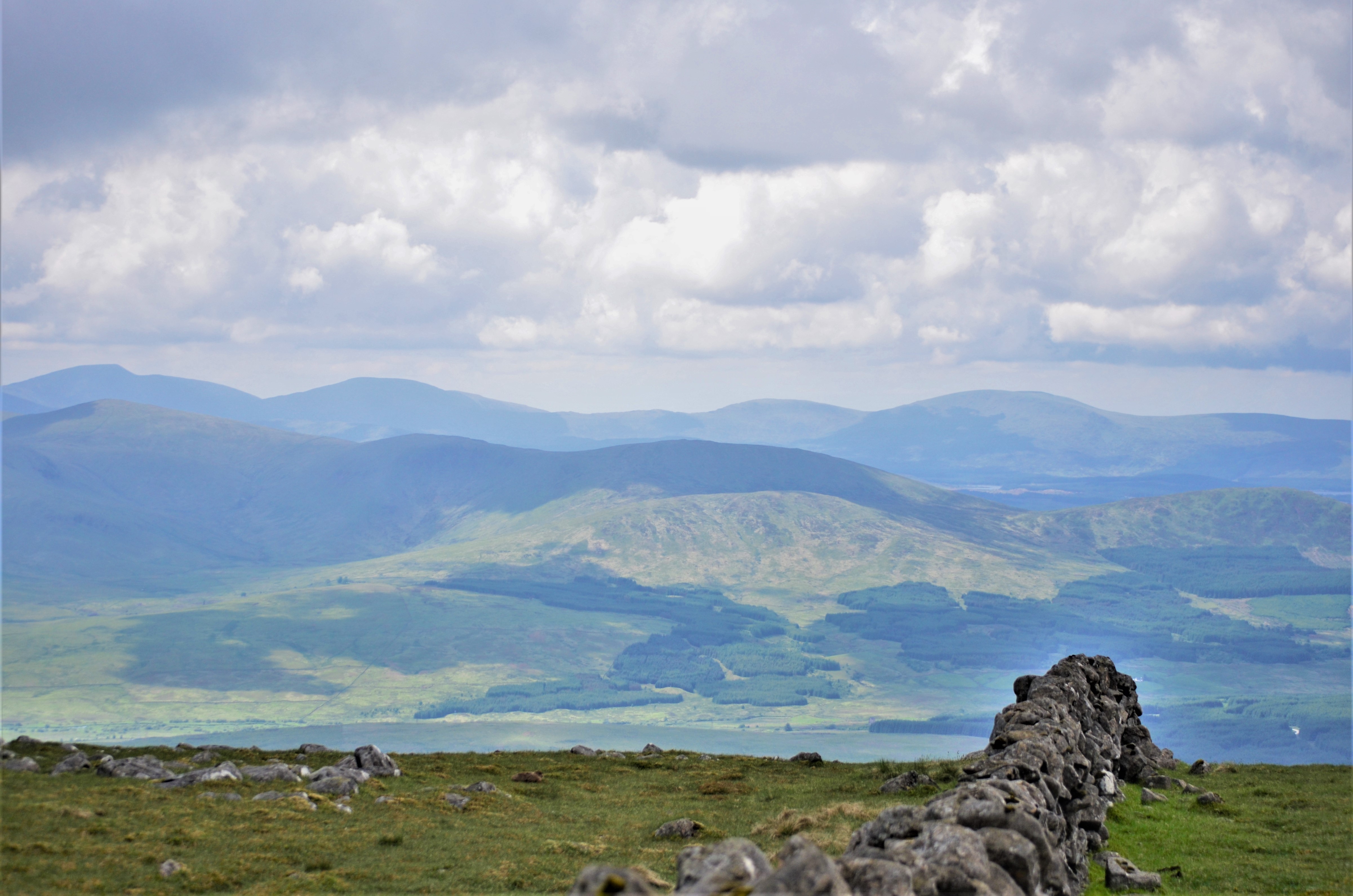
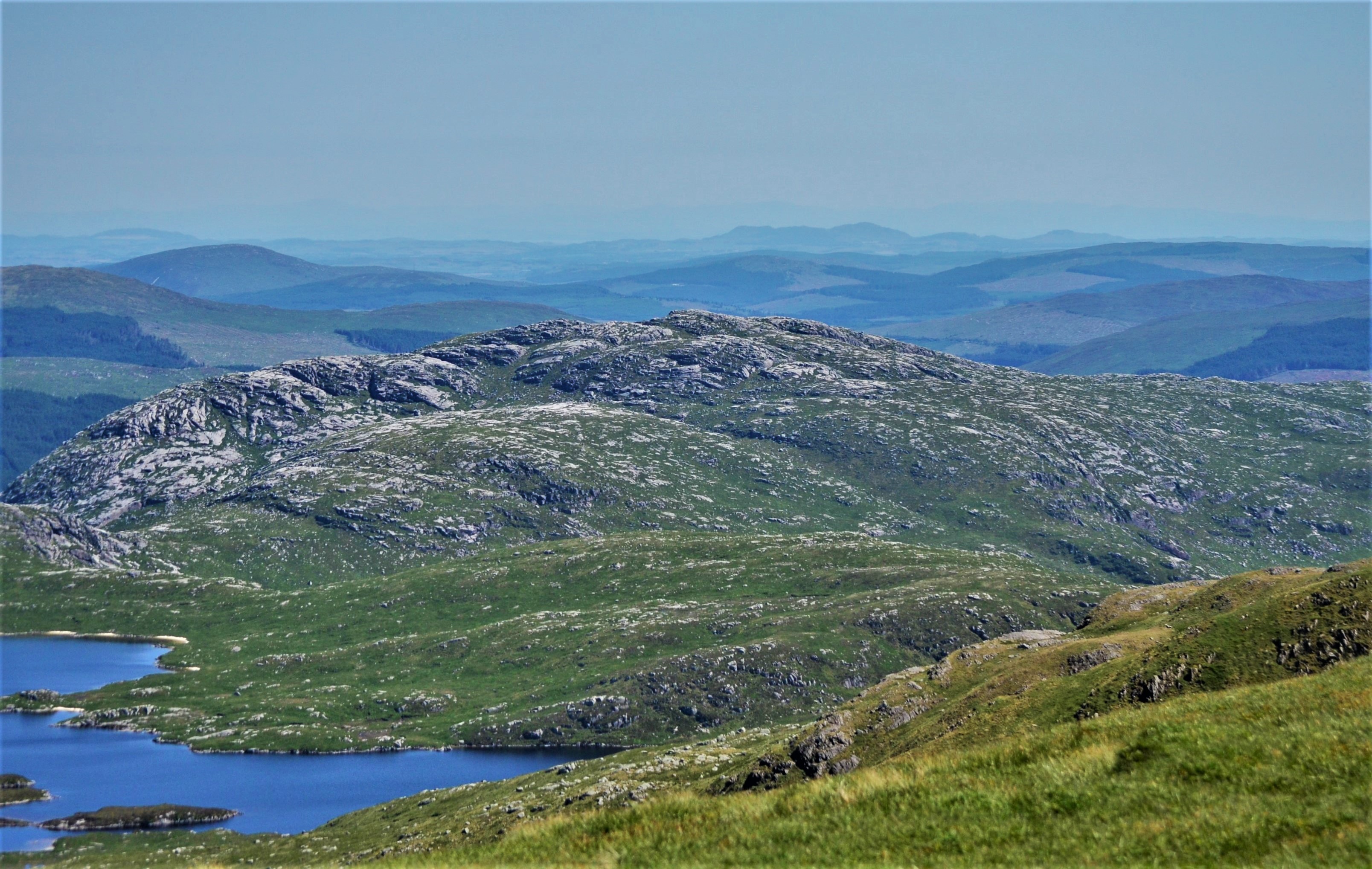
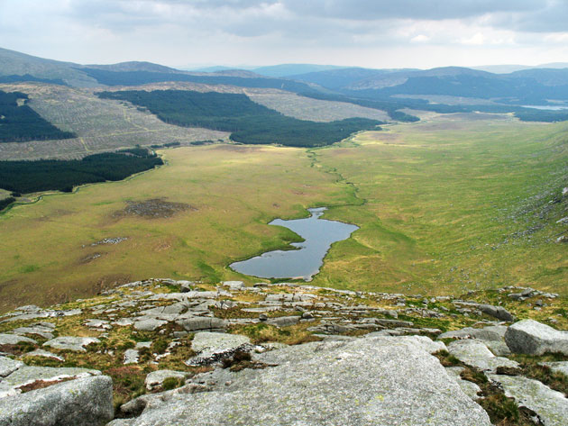
The valley is renowned for its natural beauty and abundance of wildlife. It is home to a diverse range of flora and fauna, including rare species of birds, mammals, and plants. The pristine river that meanders through the valley adds to its charm, providing a soothing ambiance and a perfect spot for fishing or simply enjoying the peaceful surroundings.
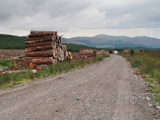
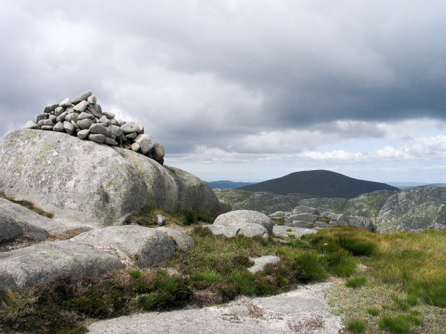
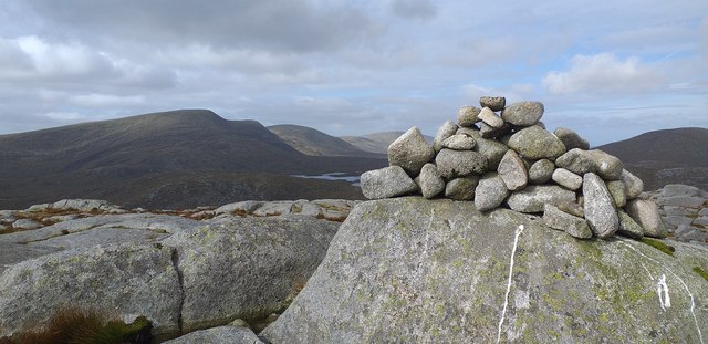
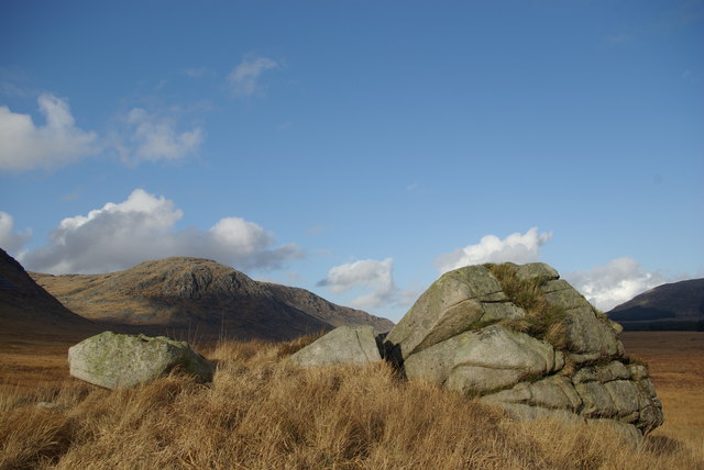
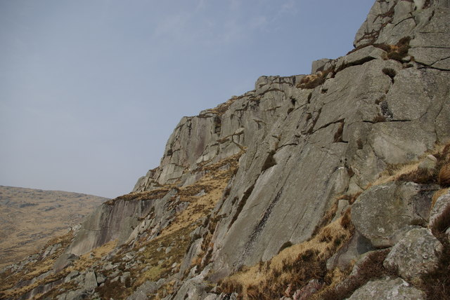
The landscape of Shot Cleugh is characterized by its gently sloping hills, covered in heather and grasses, which create a patchwork of vibrant colors throughout the year. The valley is a haven for outdoor enthusiasts, offering ample opportunities for walking, hiking, and cycling. Trails wind through the valley, leading visitors to stunning viewpoints and hidden gems.
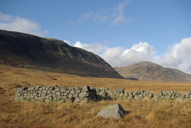
Historically, Shot Cleugh played a significant role in the local economy as a sheep farming area. The remnants of old farmsteads and stone walls can still be seen, adding a touch of history to the landscape. The valley has also inspired artists and writers throughout the years, with its idyllic scenery often finding its way onto canvas or into literature.
In summary, Shot Cleugh is a captivating valley in Kirkcudbrightshire that showcases the natural beauty and tranquility of the Scottish countryside. With its diverse wildlife, stunning landscapes, and rich history, it is a must-visit destination for those seeking an escape into nature.
If you have any feedback on the listing, please let us know in the comments section below.
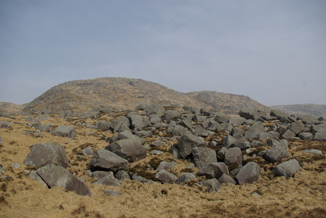
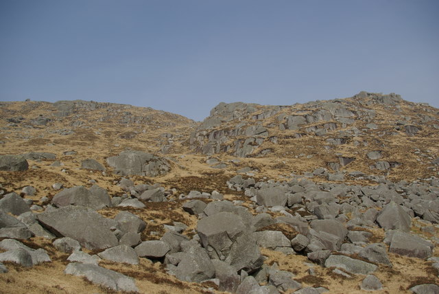
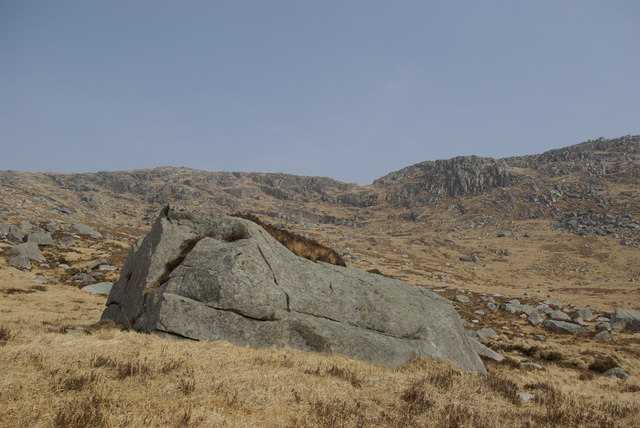
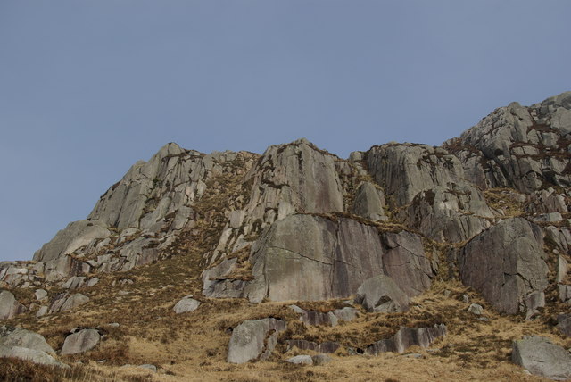
Shot Cleugh Images
Images are sourced within 2km of 55.119291/-4.411549 or Grid Reference NX4683. Thanks to Geograph Open Source API. All images are credited.


Shot Cleugh is located at Grid Ref: NX4683 (Lat: 55.119291, Lng: -4.411549)
Unitary Authority: Dumfries and Galloway
Police Authority: Dumfries and Galloway
What 3 Words
///advantage.arena.cafe. Near Newton Stewart, Dumfries & Galloway
Nearby Locations
Related Wikis
Galloway Hills
The Galloway Hills are part of the Southern Uplands of Scotland, and form the northern boundary of western Galloway. They lie within the bounds of the...

Dungeon Hill (hill)
Dungeon Hill is a hill in the Dungeon Hills, a sub-range of the Galloway Hills range, part of the Southern Uplands of Scotland. Although it is the lowest...
Craignaw
Craignaw is a hill in the Dungeon Hills, a sub-range of the Galloway Hills range, part of the Southern Uplands of Scotland. Unlike many hills in the Southern...
Silver Flowe
Silver Flowe is an area of patterned blanket mire in the Galloway Hills, in Dumfries and Galloway, Scotland. Located around 16 km north northeast of Newton...

Galloway Forest Park
Galloway Forest Park is a forest park operated by Forestry and Land Scotland, principally covering woodland in Dumfries and Galloway. It is claimed to...

Loch Neldricken
Loch Neldricken is a loch in Galloway to the south-east of Merrick, south of Craig Neldricken and west of Craignaw. The loch is almost bisected by a long...
Loch Valley
Loch Valley is a loch in Galloway Forest Park to the east of Buchan Hill, north of the Rig of the Jarkness and southwest of Craignaw. It drains via Gairland...
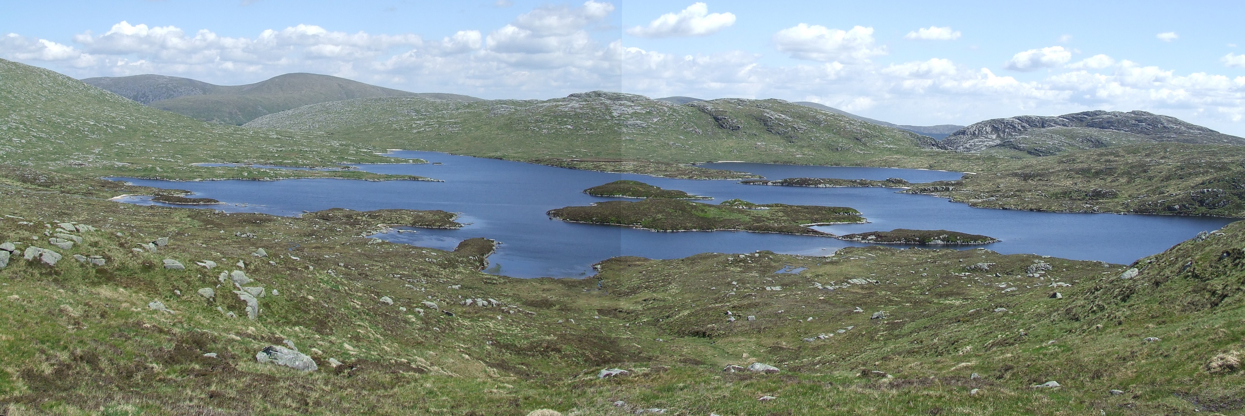
Loch Enoch
Loch Enoch is a multi-basin freshwater loch in Galloway, to the east of Merrick and south of Mullwharchar. The loch is situated in a granite basin and...
Nearby Amenities
Located within 500m of 55.119291,-4.411549Have you been to Shot Cleugh?
Leave your review of Shot Cleugh below (or comments, questions and feedback).