Nant Ynysoedd

Valley in Caernarfonshire

Wales

Nant Ynysoedd

A487 near Groeslon The A487 is one of the most important roads in Wales. It covers the majority of the west coast from St Davids to Menai Bridge, and is a primary route for most of its length, including a section where it multiplexes with the A470, another important north-south road. Along the way, it runs through two national parks: Snowdonia and Pembrokeshire Coast. Despite its length and importance, it is predominantly single carriageway, although the road has been upgraded in numerous places. It is 174 miles long.
<span class="nowrap"><a title="http://www.sabre-roads.org.uk/wiki/index.php?title=A487" rel="nofollow ugc noopener" href="http://www.sabre-roads.org.uk/wiki/index.php?title=A487">Link</a><img style="margin-left:2px;" alt="External link" title="External link - shift click to open in new window" src="https://s1.geograph.org.uk/img/external.png" width="10" height="10"/></span>
A487 near Groeslon Credit: David Dixon

Nant Ynysoedd is a picturesque valley located in Caernarfonshire, Wales. Situated in the northwest part of the country, it is nestled amidst the stunning Snowdonia National Park. The valley is known for its breathtaking natural beauty, with its rolling hills, lush greenery, and serene atmosphere.

The name "Nant Ynysoedd" translates to "Valley of the Islands," which reflects the presence of several small islands scattered throughout the river that meanders through the valley. The river, Afon Ynysoedd, adds to the charm of the area, providing a soothing ambiance and attracting wildlife.

The valley is a haven for nature lovers and outdoor enthusiasts. It offers numerous walking trails that allow visitors to explore the surrounding countryside, taking in the stunning vistas and immersing themselves in the tranquility of nature. The trails cater to all levels of difficulty, making it accessible for everyone.

In addition to its natural beauty, Nant Ynysoedd is also home to a variety of flora and fauna, including rare species. The valley's diverse ecosystem provides a habitat for many birds, mammals, and plant species, making it a popular spot for birdwatching and wildlife photography.

Nant Ynysoedd is also steeped in history, with ancient ruins and archaeological sites scattered throughout the valley. Visitors can explore these remnants of the past, gaining insight into the area's rich cultural heritage.

Overall, Nant Ynysoedd is a hidden gem in Caernarfonshire, offering a perfect blend of natural beauty and historical significance. It is a place where visitors can escape the hustle and bustle of daily life and connect with the tranquility of nature.

If you have any feedback on the listing, please let us know in the comments section below.

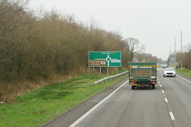
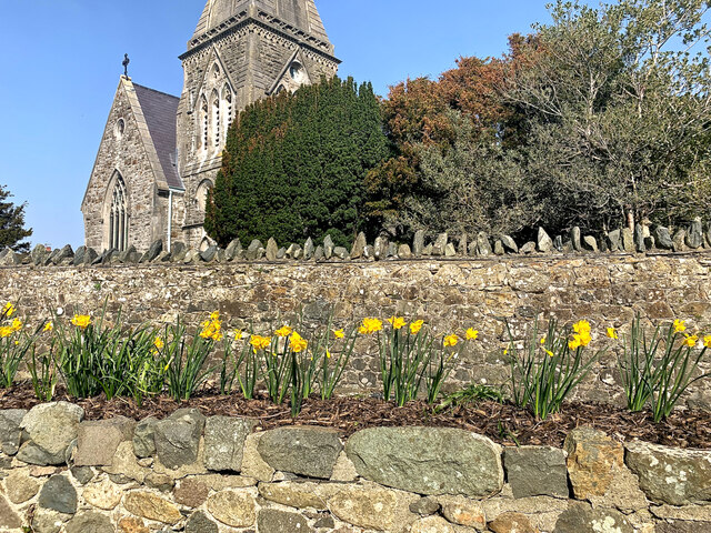
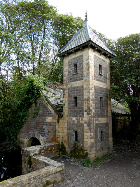
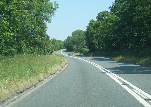
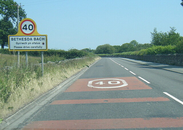
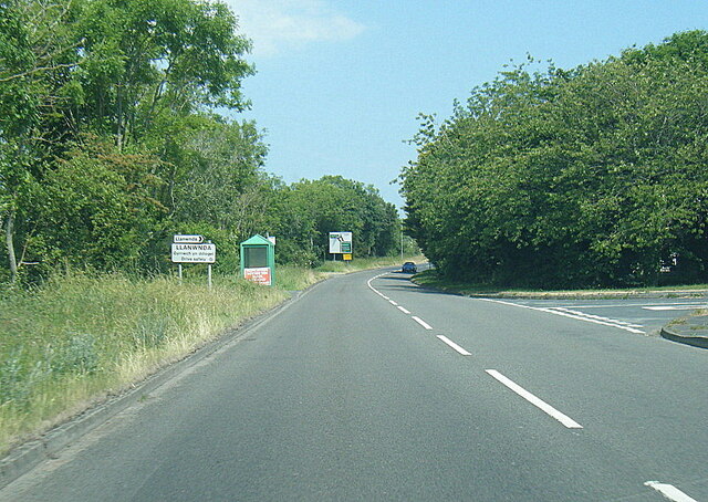
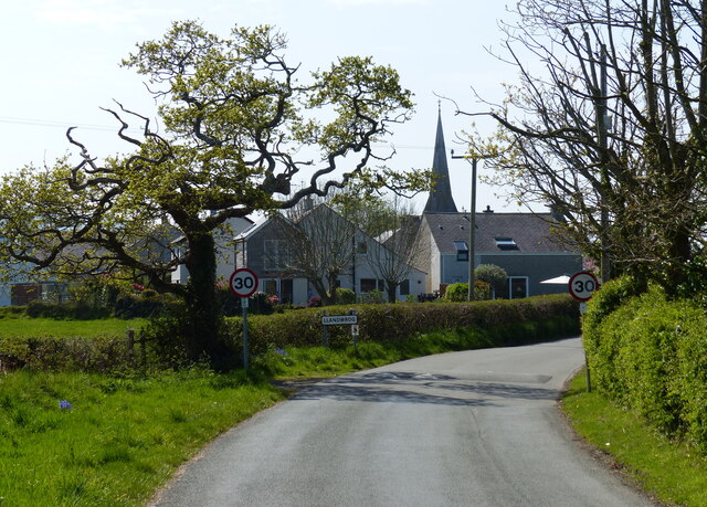
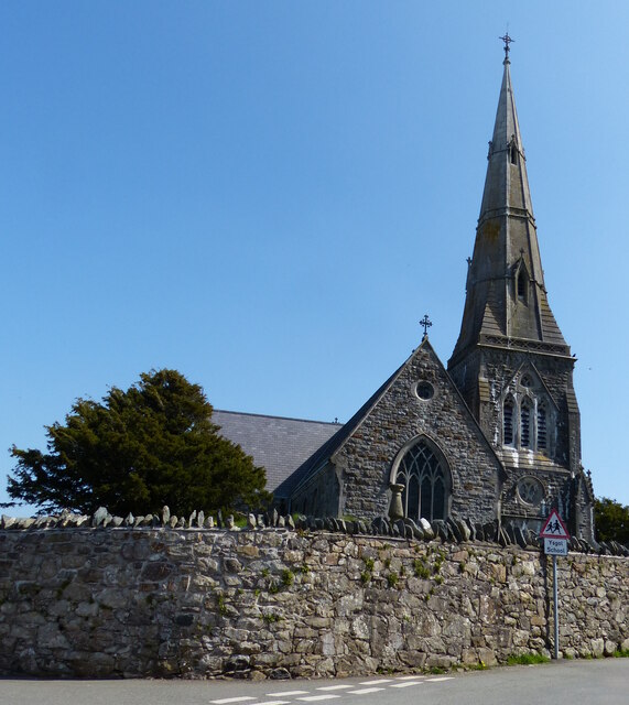
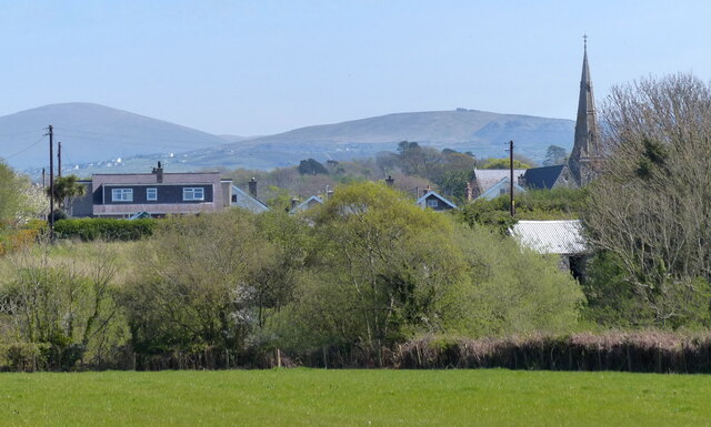
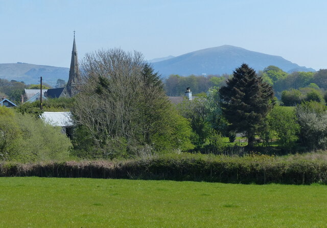
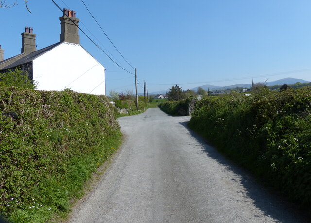
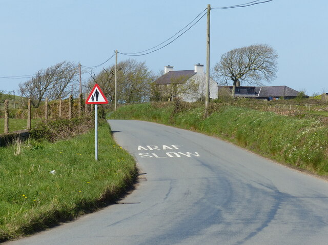
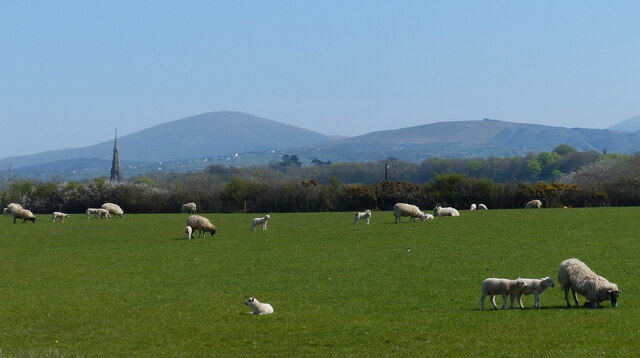
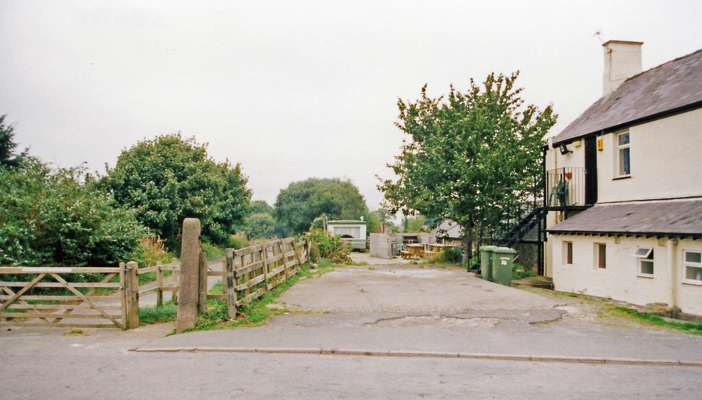
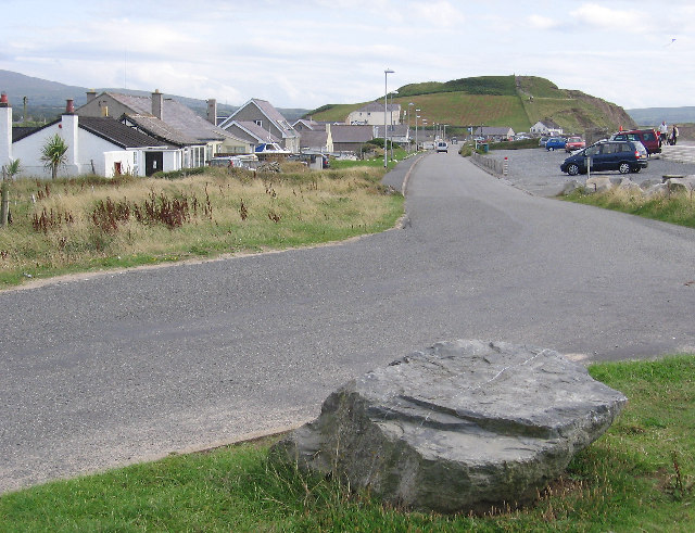
Nant Ynysoedd Images

Images are sourced within 2km of 53.077473/-4.296742 or Grid Reference SH4655. Thanks to Geograph Open Source API. All images are credited.

A487 near Groeslon The A487 is one of the most important roads in Wales. It covers the majority of the west coast from St Davids to Menai Bridge, and is a primary route for most of its length, including a section where it multiplexes with the A470, another important north-south road. Along the way, it runs through two national parks: Snowdonia and Pembrokeshire Coast. Despite its length and importance, it is predominantly single carriageway, although the road has been upgraded in numerous places. It is 174 miles long.
<span class="nowrap"><a title="http://www.sabre-roads.org.uk/wiki/index.php?title=A487" rel="nofollow ugc noopener" href="http://www.sabre-roads.org.uk/wiki/index.php?title=A487">Link</a><img style="margin-left:2px;" alt="External link" title="External link - shift click to open in new window" src="https://s1.geograph.org.uk/img/external.png" width="10" height="10"/></span>
A487 near Groeslon
The A487 is one of the most important roads in Wales. It covers the majority of the west coast from St Davids to Menai Bridge, and is a primary route for most of its length, including a section where it multiplexes with the A470, another important north-south road. Along the way, it runs through two national parks: Snowdonia and Pembrokeshire Coast. Despite its length and importance, it is predominantly single carriageway, although the road has been upgraded in numerous places. It is 174 miles long. LinkExternal link
A487 at Groeslon Roundabout The A487 is one of the most important roads in Wales. It covers the majority of the west coast from St Davids to Menai Bridge, and is a primary route for most of its length, including a section where it multiplexes with the A470, another important north-south road. Along the way, it runs through two national parks: Snowdonia and Pembrokeshire Coast. Despite its length and importance, it is predominantly single carriageway, although the road has been upgraded in numerous places. It is 174 miles long.
<span class="nowrap"><a title="http://www.sabre-roads.org.uk/wiki/index.php?title=A487" rel="nofollow ugc noopener" href="http://www.sabre-roads.org.uk/wiki/index.php?title=A487">Link</a><img style="margin-left:2px;" alt="External link" title="External link - shift click to open in new window" src="https://s1.geograph.org.uk/img/external.png" width="10" height="10"/></span>
A487 at Groeslon Roundabout
The A487 is one of the most important roads in Wales. It covers the majority of the west coast from St Davids to Menai Bridge, and is a primary route for most of its length, including a section where it multiplexes with the A470, another important north-south road. Along the way, it runs through two national parks: Snowdonia and Pembrokeshire Coast. Despite its length and importance, it is predominantly single carriageway, although the road has been upgraded in numerous places. It is 174 miles long. LinkExternal link
A487 north of Groeslon The A487 is one of the most important roads in Wales. It covers the majority of the west coast from St Davids to Menai Bridge, and is a primary route for most of its length, including a section where it multiplexes with the A470, another important north-south road. Along the way, it runs through two national parks: Snowdonia and Pembrokeshire Coast. Despite its length and importance, it is predominantly single carriageway, although the road has been upgraded in numerous places. It is 174 miles long.
<span class="nowrap"><a title="http://www.sabre-roads.org.uk/wiki/index.php?title=A487" rel="nofollow ugc noopener" href="http://www.sabre-roads.org.uk/wiki/index.php?title=A487">Link</a><img style="margin-left:2px;" alt="External link" title="External link - shift click to open in new window" src="https://s1.geograph.org.uk/img/external.png" width="10" height="10"/></span>
A487 north of Groeslon
The A487 is one of the most important roads in Wales. It covers the majority of the west coast from St Davids to Menai Bridge, and is a primary route for most of its length, including a section where it multiplexes with the A470, another important north-south road. Along the way, it runs through two national parks: Snowdonia and Pembrokeshire Coast. Despite its length and importance, it is predominantly single carriageway, although the road has been upgraded in numerous places. It is 174 miles long. LinkExternal link
Waliau Llandwrog From the garden of Ty'n Llan, the Harp Inn, looking over assorted walls to the church of St Twrog.
Waliau Llandwrog
From the garden of Ty'n Llan, the Harp Inn, looking over assorted walls to the church of St Twrog.
"Fe'th welais di ar lawnt y Plas" The title of the image is from a poem by ID Hooson, which means "I saw thee on the manor lawn", referring to the free spirit of daffodils in their natural state.
"Fe'th welais di ar lawnt y Plas"
The title of the image is from a poem by ID Hooson, which means "I saw thee on the manor lawn", referring to the free spirit of daffodils in their natural state.
Melin flawd Corbett Williams / Corbett Williams grit mill
Ty Falf / Valve House This valve house regulated flow through the leat to the watermill.   It is a far more elaborate building than the watermill that it served.
Ty Falf / Valve House
This valve house regulated flow through the leat to the watermill. It is a far more elaborate building than the watermill that it served.
A499 near Glynllifon
A499 east of Llandwrog
A499 at Bethesda Bach village boundary
A499 at Ty-hen junction
Lane in Llandwrog
Lane in Llandwrog
St Twrog's Church, Llandwrog The church was built in a Decorated Gothic style in 1856-60.
St Twrog's Church, Llandwrog
The church was built in a Decorated Gothic style in 1856-60.
Houses and church in the village of Llandwrog
House and lane in Llandwrog
Lane towards Dinas Dinlle
Sheep and pasture at Llandwrog
Show me another place!

Nant Ynysoedd is located at Grid Ref: SH4655 (Lat: 53.077473, Lng: -4.296742)

Unitary Authority: Gwynedd

Police Authority: North Wales

What 3 Words

///just.goodness.clumped. Near Penygroes, Gwynedd

Related Wikis

Glynllifon

Glynllifon is the name of the old estate which belonged to the Barons Newborough, near the village of Llandwrog on the main A499 road between Pwllheli...

Groeslon railway station

Groeslon railway station served the village of Groeslon, Gwynedd, Wales. It operated first as part of the Nantlle Tramway and afterwards as a railway under...

Groeslon

Groeslon (; Welsh: Y Groeslon, "the crossroads") is a small village in the community of Llandwrog in the Welsh traditional county of Caernarfonshire....

Llandwrog

Llandwrog (; Welsh language: meaning 'The church of Saint Twrog') is a village and community in Gwynedd, north-west Wales, most notable for the presence...

Llanwnda railway station

Llanwnda railway station served the village of Llanwnda, Gwynedd, Wales. == History == A halt named Pwllheli Road existed here on the horse-drawn Nantlle...

Dinas Dinlle

Dinas Dinlle is a small settlement in Gwynedd, north-west Wales which is also, historically, part of Caernarfonshire. == Description == Dinas Dinlle has...

Ysgol Dyffryn Nantlle

Ysgol Dyffryn Nantlle is a bilingual secondary school for pupils aged between 11 and 18 years. It is situated in Penygroes, Gwynedd in Gwynedd, North Wales...

Penygroes railway station

Penygroes railway station was located in Penygroes, Gwynedd, Wales.The narrow gauge, horse-drawn Nantlle Railway had a station near the site from 1856...

Nearby Amenities

Located within 500m of 53.077473,-4.296742
Direction: WSW
Generator Method: photovoltaic
Generator Output Electricity: yes
Generator Solar Modules: 15
Generator Source: solar
Generator Type: solar_photovoltaic_panel
Location: roof
Power: generator
Lat/Long: 53.0768702/-4.3039531
The data included in this document is from www.openstreetmap.org. The data is made available under ODbL.

Have you been to Nant Ynysoedd?

Leave your review of Nant Ynysoedd below (or comments, questions and feedback).