Glac Mhaìri
Valley in Ross-shire
Scotland
Glac Mhaìri
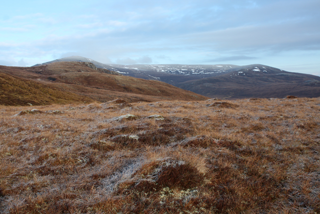
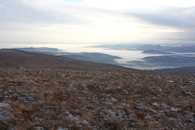
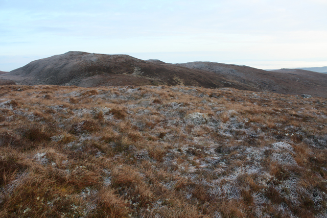
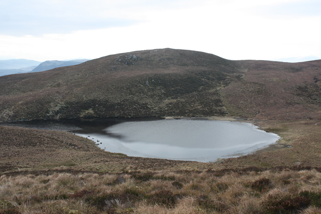
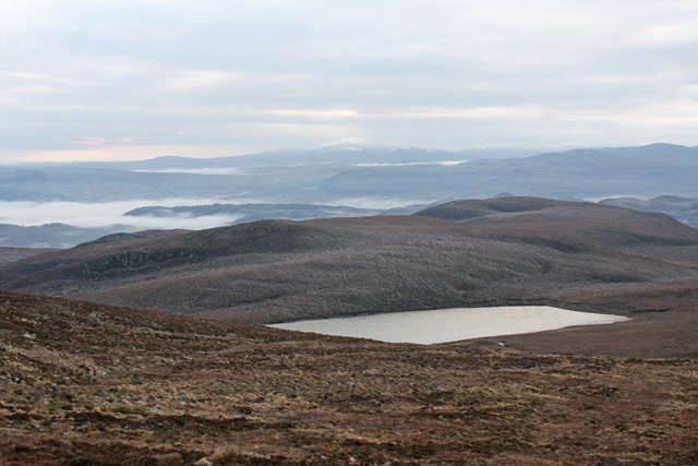
Glac Mhaìri, located in Ross-shire, Scotland, is a picturesque valley renowned for its stunning natural beauty. Nestled amidst the Scottish Highlands, this valley is characterized by its rugged terrain, towering mountains, and a meandering river that flows through its heart.
The valley is surrounded by majestic peaks, including Slioch and Beinn Eighe, which provide a dramatic backdrop to the landscape. Glac Mhaìri is a glacial valley, formed during the last Ice Age, and the remnants of ancient glaciers can still be seen in the form of U-shaped valleys and moraines.
The river that flows through Glac Mhaìri is the lifeblood of the valley, providing water and nourishment to the rich flora and fauna that call this place home. The river is also popular among anglers, who come here to try their luck at catching salmon and trout.
The valley is blessed with diverse plant and animal species, including rare orchids, heather, and mosses. It is a haven for birdwatchers, with various bird species, such as golden eagles, peregrine falcons, and red kites, soaring through the sky.
Glac Mhaìri offers numerous outdoor activities for visitors, such as hiking, mountain biking, and wildlife spotting. The valley is crisscrossed with walking trails that cater to different skill levels, allowing visitors to explore its enchanting beauty at their own pace.
Overall, Glac Mhaìri is a natural wonder, captivating visitors with its breathtaking landscapes, abundant wildlife, and a sense of tranquility that can only be found in the heart of the Scottish Highlands.
If you have any feedback on the listing, please let us know in the comments section below.
Glac Mhaìri Images
Images are sourced within 2km of 57.614676/-4.6216676 or Grid Reference NH4361. Thanks to Geograph Open Source API. All images are credited.


Glac Mhaìri is located at Grid Ref: NH4361 (Lat: 57.614676, Lng: -4.6216676)
Unitary Authority: Highland
Police Authority: Highlands and Islands
What 3 Words
///retrain.auctioned.cost. Near Strathpeffer, Highland
Nearby Locations
Related Wikis
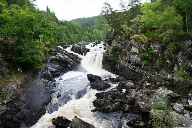
Rogie Falls
Rogie Falls (Gaelic: Eas Rothagaidh) are a series of waterfalls on the Black Water, a river in Ross-shire in the Highlands of Scotland. The falls are about...

Garve
Garve (Scottish Gaelic: Gairbh) is a village on the Black Water river, in Ross-shire, and is in the Highland Council area of Scotland. It is situated 5...

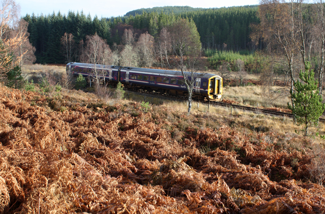
Garve railway station
Garve railway station is a railway station on the Kyle of Lochalsh Line, serving the village of Garve in the north of Scotland. Garve is located at the...

Loch Achilty
Loch Achilty is a large deep picturesque lowland freshwater loch set within a sloping birch and oakwood forest, located near Contin in Easter Ross in...
Related Videos

Little Wyvis | In the Shadow of Ben Wyvis | The Corbetts
Join Alistair and Douglas on the first day of their week long adventure to the North West of Scotland. To get things started, they ...
Little Wyvis - bagging the Corbetts.
A fine short walk up this fine wee hill.
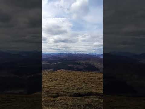
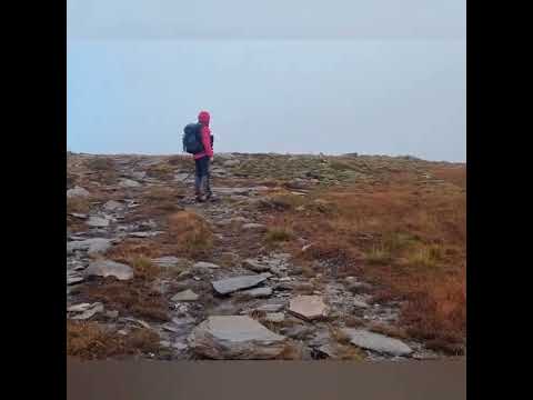
Little Wyvis Summit
21/4/2018 . Summit views atop little Wyvis . Took the path from Silverbridge through the farm track. Decent path up.
Nearby Amenities
Located within 500m of 57.614676,-4.6216676Have you been to Glac Mhaìri?
Leave your review of Glac Mhaìri below (or comments, questions and feedback).