Glac Mhór
Valley in Stirlingshire
Scotland
Glac Mhór

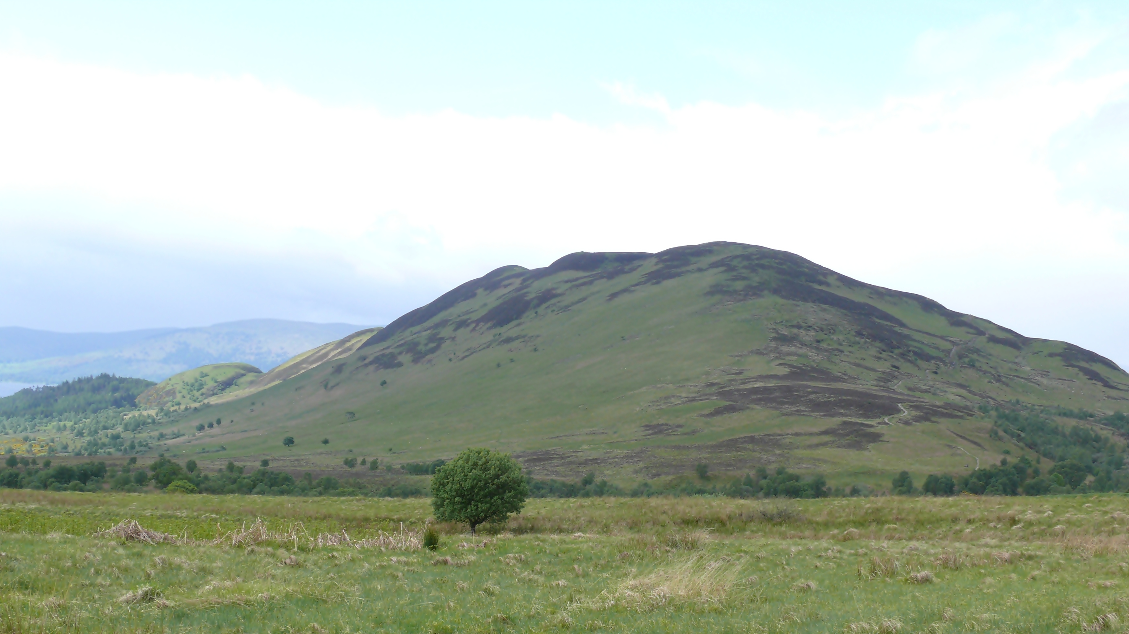
Glac Mhór, also known as the Big Valley, is a stunning geographical feature located in Stirlingshire, Scotland. Nestled within the picturesque Trossachs National Park, Glac Mhór extends over a vast area of approximately 10 square kilometers.
The valley is formed by the remnants of a glacier that carved its way through the landscape during the last Ice Age, leaving behind a magnificent and awe-inspiring scenery. Glac Mhór is characterized by steep, rugged slopes that rise on either side, creating a dramatic and imposing environment.
The valley is blessed with lush green vegetation, including a variety of trees, shrubs, and wildflowers, painting the landscape with vibrant colors throughout the year. A crystal-clear river meanders through the heart of Glac Mhór, its waters fed by melting snow and ice from the surrounding mountains.
The valley provides a habitat for a diverse range of flora and fauna, making it an ideal spot for nature lovers and wildlife enthusiasts. Visitors may catch glimpses of red deer, roe deer, and various bird species, including golden eagles and peregrine falcons.
For outdoor enthusiasts, Glac Mhór offers ample opportunities for hiking, mountain biking, and photography. There are several well-marked trails that lead explorers through the valley, providing breathtaking panoramic views at every turn.
Overall, Glac Mhór is a natural wonder that showcases the magnificent power of glaciers and the beauty of the Scottish countryside. Its stunning landscapes, rich biodiversity, and recreational activities make it a must-visit destination for those seeking a true wilderness experience in Stirlingshire.
If you have any feedback on the listing, please let us know in the comments section below.
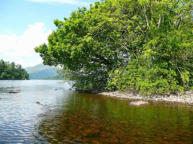
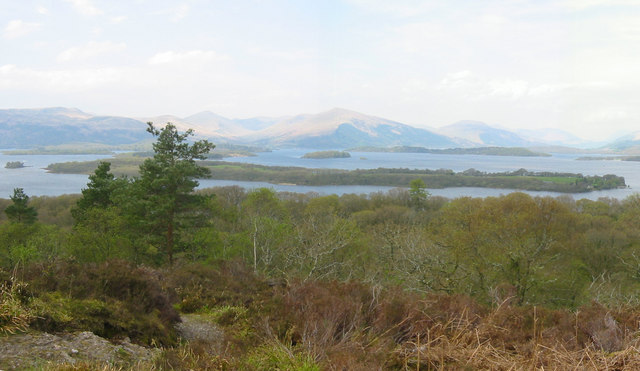
Glac Mhór Images
Images are sourced within 2km of 56.131234/-4.5380751 or Grid Reference NS4296. Thanks to Geograph Open Source API. All images are credited.


Glac Mhór is located at Grid Ref: NS4296 (Lat: 56.131234, Lng: -4.5380751)
Unitary Authority: Stirling
Police Authority: Forth Valley
What 3 Words
///pure.hexes.anyone. Near Killearn, Stirling
Nearby Locations
Related Wikis

Milarrochy Bay
Milarrochy Bay is a bay on Loch Lomond, in southern Scotland. It is near the village of Balmaha. Known locally as Bakey Bay, due to the rounded mounds...
Conic Hill
Conic Hill (from Gaelic "còinneach" meaning moss) is a prominent hill in Stirling, Scotland. == Location and description == It is on the east bank of Loch...

Inchlonaig
Inchlonaig is an island in Loch Lomond in Scotland. == Geography and geology == Inchlonaig is the most northerly of the larger islands in the Loch Lomond...

Balmaha
Balmaha (Gaelic: Baile Mo Thatha) is a village on the eastern shore of Loch Lomond in the council area of Stirling, Scotland. The village is a popular...
Ceardach
Ceardach is a small uninhabited island in Loch Lomond, in west central Scotland. The island lies east of Bucinch and north of Inchcruin. The name Ceardach...

Buchanan, Stirling
Buchanan is a historic parish in Stirlingshire in Scotland. It includes a large part of the eastern shore of Loch Lomond. The most populated village in...
Loch Lomond National Nature Reserve
Loch Lomond National Nature Reserve (NNR) (Scottish Gaelic: Tèarmann Nàdair Nàiseanta Loch Laomainn) encompasses 430 hectares of land at the southeastern...

Bucinch
Bucinch or Buc-Innis (Scottish Gaelic: "Buck Island" or "Male Goat Island") is a small island in Loch Lomond, in west central Scotland. The heavily wooded...
Nearby Amenities
Located within 500m of 56.131234,-4.5380751Have you been to Glac Mhór?
Leave your review of Glac Mhór below (or comments, questions and feedback).