Gleann Meadhonach
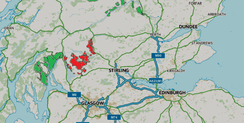
Valley in Stirlingshire
Scotland
Gleann Meadhonach

Gleann Meadhonach, located in Stirlingshire, Scotland, is a picturesque valley renowned for its natural beauty and historical significance. Nestled amidst the breathtaking landscape of the Scottish Highlands, this valley offers visitors a glimpse into the region's rich cultural heritage.
The valley is characterized by its rolling hills, lush green meadows, and sparkling streams that flow through it, creating a serene and tranquil atmosphere. The surrounding mountains, such as Ben Ledi and Ben Venue, provide a stunning backdrop to the valley, adding to its scenic charm.
Gleann Meadhonach is steeped in history and has been inhabited for centuries. Numerous archaeological sites and remnants of ancient settlements can be found in the area, testifying to its importance in the past. The valley was once home to various clans and witnessed several conflicts during Scotland's turbulent history.
In addition to its historical significance, Gleann Meadhonach is a haven for outdoor enthusiasts. The valley offers a plethora of activities such as hiking, mountain biking, and fishing. Its well-marked trails provide opportunities for exploration, allowing visitors to immerse themselves in the natural beauty of the surroundings.
For those seeking a tranquil escape, Gleann Meadhonach also offers camping and picnicking spots, allowing visitors to relax and enjoy the breathtaking scenery. The valley's diverse wildlife, including red deer, golden eagles, and otters, adds to its allure, making it a popular destination for nature lovers and wildlife enthusiasts.
Overall, Gleann Meadhonach is a captivating valley that seamlessly combines natural beauty with historical significance. Its idyllic surroundings, rich heritage, and abundance of outdoor activities make it a must-visit destination in Stirlingshire, Scotland.
If you have any feedback on the listing, please let us know in the comments section below.
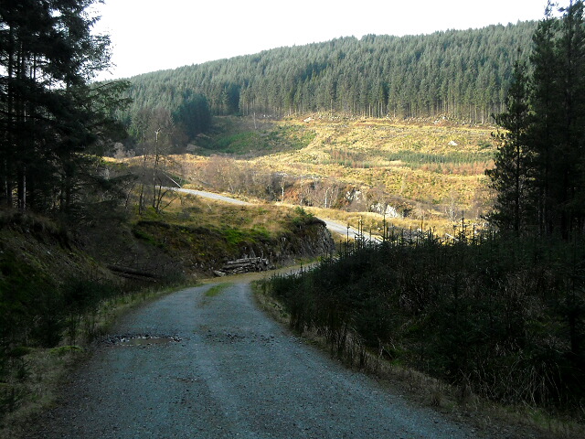
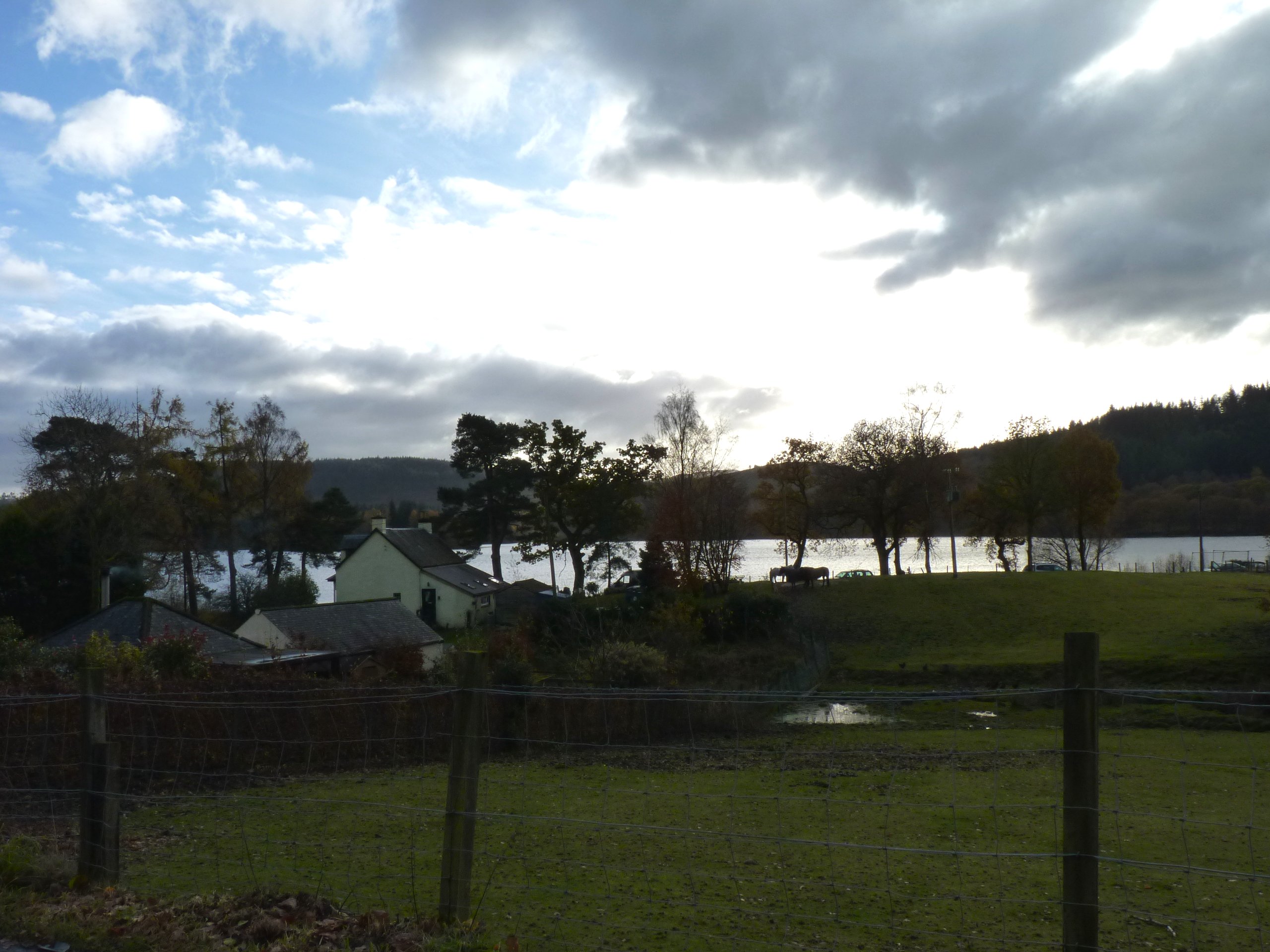
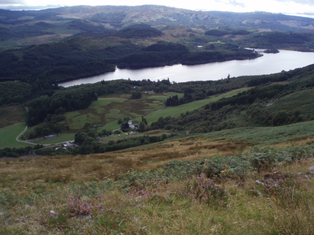
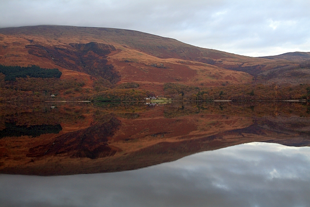
Gleann Meadhonach Images
Images are sourced within 2km of 56.15667/-4.546372 or Grid Reference NS4198. Thanks to Geograph Open Source API. All images are credited.


Gleann Meadhonach is located at Grid Ref: NS4198 (Lat: 56.15667, Lng: -4.546372)
Unitary Authority: Stirling
Police Authority: Forth Valley
What 3 Words
///circling.statement.avocado. Near Balfron, Stirling
Nearby Locations
Related Wikis

Loch Dubh (Loch Ard Forest)
Loch Dubh ("Black Loch") is a lochan on the Duchray Water in the western part of Loch Ard Forest in the Central Highlands of Scotland. == Location == Loch...
Kinlochard
Kinlochard is a village in Stirling, Scotland. It lies to the western end of Loch Ard. Children in Kinlochard attend Aberfoyle Primary School and eventually...
Loch Ard
Loch Ard (Scottish Gaelic: Loch na h-Àirde) is a loch, located in Loch Lomond and the Trossachs National Park, Stirling council area, Scotland. == Overview... ==
Rowardennan
Rowardennan (Gaelic: Rubha Aird Eònain) is a small rural community on the eastern shore of Loch Lomond in Stirling council, Scotland. It is mainly known...
Queen Elizabeth Forest Park
Queen Elizabeth Forest Park is a 19,665-hectare (48,590-acre) forest park in the Scottish Highlands which extends from the eastern shores of Loch Lomond...

Eilean nan Deargannan
Eilean nan Deargannan (sometimes written as Eilean Deargannan) is a small island in Loch Lomond, in west central Scotland. It lies between Rowardennan...

Milarrochy Bay
Milarrochy Bay is a bay on Loch Lomond, in southern Scotland. It is near the village of Balmaha. Known locally as Bakey Bay, due to the rounded mounds...

Loch Chon
Loch Chon is a freshwater loch situated west of the village of Aberfoyle, near the small village of Kinlochard, Stirling, Scotland, UK. Loch Chon lies...
Nearby Amenities
Located within 500m of 56.15667,-4.546372Have you been to Gleann Meadhonach?
Leave your review of Gleann Meadhonach below (or comments, questions and feedback).