Boreland Glen

Valley in Ayrshire

Scotland

Boreland Glen

A713 towards Dalmellington
A713 towards Dalmellington Credit: Steven Brown

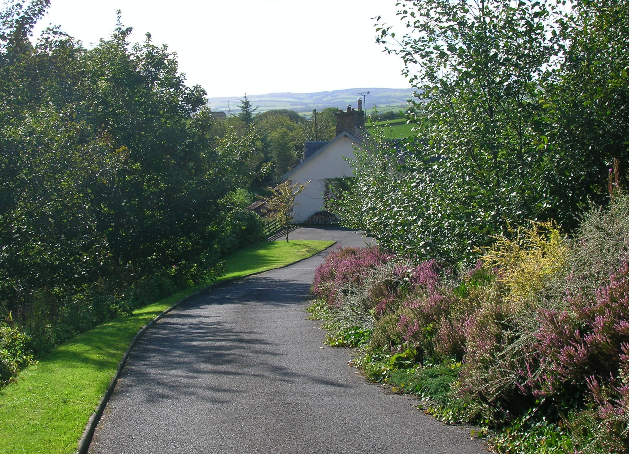
Boreland Glen is a picturesque valley located in Ayrshire, Scotland. This tranquil and idyllic spot is situated between the towns of Barr and Dalmellington. The glen is renowned for its stunning natural beauty and diverse wildlife, making it a popular destination for both locals and tourists alike.

Covering an area of approximately 5 square miles, Boreland Glen is characterized by its rolling hills, dense woodlands, and meandering streams. The glen is home to a variety of plant species including oak, birch, and rowan trees, which create a vibrant and colorful landscape throughout the year. The surrounding hills provide a stunning backdrop, making it a haven for nature enthusiasts and photographers.

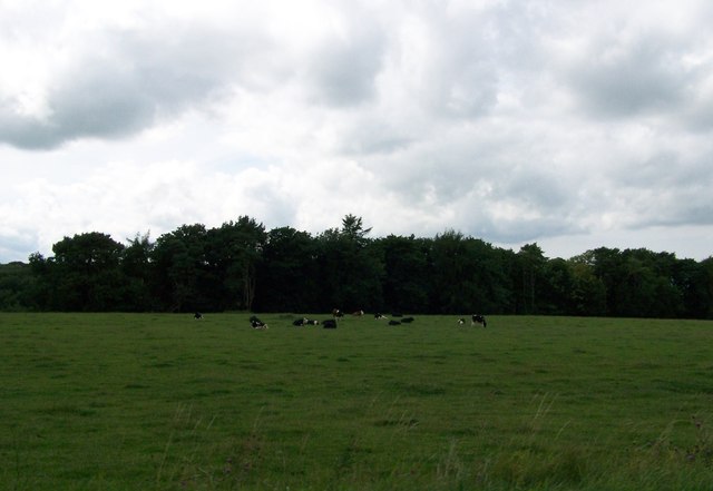
The glen boasts a rich and diverse wildlife population, with several species calling it home. Visitors can spot red squirrels, badgers, and roe deer, among other creatures, while exploring the area. The glen is also frequented by birdwatchers, as it attracts a wide variety of bird species, including owls, woodpeckers, and pheasants.

For outdoor enthusiasts, Boreland Glen offers an array of activities. There are numerous walking trails that wind through the glen, allowing visitors to explore its natural wonders at their own pace. The glen is also a popular spot for picnicking, fishing, and camping, providing a tranquil and peaceful setting to relax and unwind.

Overall, Boreland Glen is a hidden gem in Ayrshire, offering a perfect blend of breathtaking scenery, diverse wildlife, and outdoor recreational opportunities. It is a must-visit destination for those seeking a peaceful retreat in the heart of nature.

If you have any feedback on the listing, please let us know in the comments section below.

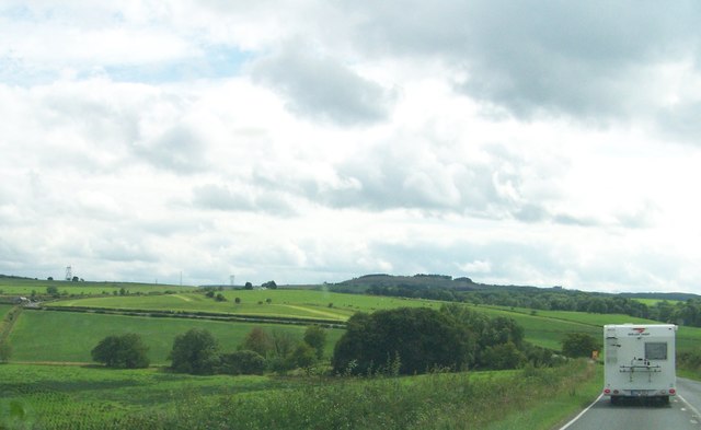
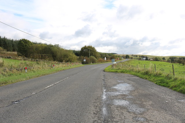
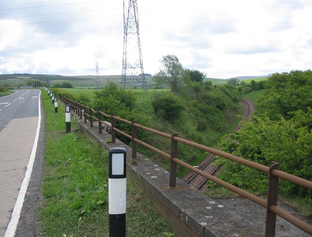
Boreland Glen Images

Images are sourced within 2km of 55.387754/-4.5240947 or Grid Reference NS4013. Thanks to Geograph Open Source API. All images are credited.

A713 towards Dalmellington
A713 towards Hollybush
B730 towards Drongan
This Way to Carnochan Farm Viewed on a bright but hazy mid-May day with the foliage just opening out.
This Way to Carnochan Farm
Viewed on a bright but hazy mid-May day with the foliage just opening out.
Farm Access Road Near Patna A left turn will lead to Shankston Farm, with Carnochan to the right. Viewed on a bright but hazy mid-May day with the foliage just opening out.
Farm Access Road Near Patna
A left turn will lead to Shankston Farm, with Carnochan to the right. Viewed on a bright but hazy mid-May day with the foliage just opening out.
Going to Ayr Looking along the A713 in the direction of Ayr with a lovely show of dandelions on the verge.
Going to Ayr
Looking along the A713 in the direction of Ayr with a lovely show of dandelions on the verge.
Towards Carnochan The farm lies on the other side of the River Doon.
Towards Carnochan
The farm lies on the other side of the River Doon.
Heading south on the A713 south of Hollybush
Looking west from the A713 across the fields
Farm buildings at Smithston
Farmland at Carnochan Viewed from the A713.
Farmland at Carnochan
Viewed from the A713.
The A713 near Polnessan Heading for Patna and Dalmellington.
The A713 near Polnessan
Heading for Patna and Dalmellington.
Farmland at Polnessan Viewed from the A713.
Farmland at Polnessan
Viewed from the A713.
The A713 to Ayr 8 miles to Ayr.
The A713 to Ayr
8 miles to Ayr.
Roman Road route After centuries of cultivation and with so much mining activity, there’s not a lot to see on the ground nowadays. This shot shows a sort of track along the southern side of Smithston Burn, near Polnessan, which follows the Roman route. Walking was heavy going over recently disturbed moorland and there are warnings of old mine shafts off the path. Even keeping to any sort of path was difficult. All the same, there’s something special about walking along the route where Roman legions marched two millennia ago.
The Roman Road continues to the north-west, passing modern farms at Smithston and Newfield which are shown in the background of this image.
Roman Road route
After centuries of cultivation and with so much mining activity, there’s not a lot to see on the ground nowadays. This shot shows a sort of track along the southern side of Smithston Burn, near Polnessan, which follows the Roman route. Walking was heavy going over recently disturbed moorland and there are warnings of old mine shafts off the path. Even keeping to any sort of path was difficult. All the same, there’s something special about walking along the route where Roman legions marched two millennia ago. The Roman Road continues to the north-west, passing modern farms at Smithston and Newfield which are shown in the background of this image.
Following a Roman Road I was intrigued by the mention of a Roman Road connecting Galloway with Ayrshire while researching another Geograph <a href="https://www.geograph.org.uk/photo/6514012">NS3510 : On Guiltree Earthwork</a> There’s nothing to see on modern maps but the route is indicated on the old OS 6” maps of the 1850s. After centuries of cultivation and with so much mining activity, there’s not a lot to see on the ground nowadays. 
There’s a sort of track along the southern side of Smithston Burn, near Polnessan, which follows the Roman route. Walking was heavy going over recently disturbed moorland and there are warnings of old mine shafts off the path. All the same, there’s something special about walking along the route where Roman legions marched two millennia ago.
Following a Roman Road
I was intrigued by the mention of a Roman Road connecting Galloway with Ayrshire while researching another Geograph NS3510 : On Guiltree Earthwork There’s nothing to see on modern maps but the route is indicated on the old OS 6” maps of the 1850s. After centuries of cultivation and with so much mining activity, there’s not a lot to see on the ground nowadays. There’s a sort of track along the southern side of Smithston Burn, near Polnessan, which follows the Roman route. Walking was heavy going over recently disturbed moorland and there are warnings of old mine shafts off the path. All the same, there’s something special about walking along the route where Roman legions marched two millennia ago.
The Roman Road to Ayrshire I was intrigued by the mention of a Roman Road connecting Galloway with Ayrshire while researching another Geograph <a href="https://www.geograph.org.uk/photo/6514010">NS3511 : At Guiltree Earthwork</a>. There’s nothing to see on modern maps but the route is indicated on the old OS 6” maps of the 1850s. After centuries of cultivation and with so much mining activity, there’s not a lot to see on the ground nowadays. 
There’s a sort of track along the southern side of Smithston Burn, near Polnessan, which follows the Roman route. This shot shows the first sighting from the B730 which looks promising but it doesn’t last long. Walking was heavy going over recently disturbed moorland and there are warnings of old mine shafts off the path. Even keeping to any sort of path was difficult. All the same, there’s something special about walking along the route where Roman legions marched two millennia ago.
The Roman Road continues to the north-west, passing modern farms at Smithston, Newfield and Boreland, crossing Boreland Burn close to the modern road bridge.
The Roman Road to Ayrshire
I was intrigued by the mention of a Roman Road connecting Galloway with Ayrshire while researching another Geograph NS3511 : At Guiltree Earthwork. There’s nothing to see on modern maps but the route is indicated on the old OS 6” maps of the 1850s. After centuries of cultivation and with so much mining activity, there’s not a lot to see on the ground nowadays. There’s a sort of track along the southern side of Smithston Burn, near Polnessan, which follows the Roman route. This shot shows the first sighting from the B730 which looks promising but it doesn’t last long. Walking was heavy going over recently disturbed moorland and there are warnings of old mine shafts off the path. Even keeping to any sort of path was difficult. All the same, there’s something special about walking along the route where Roman legions marched two millennia ago. The Roman Road continues to the north-west, passing modern farms at Smithston, Newfield and Boreland, crossing Boreland Burn close to the modern road bridge.
The B730 The B730 near Smithston Upper Bridge. The houses are located on the site of Kerse Village, a former miners’ row that was demolished during the 1920s.
The B730
The B730 near Smithston Upper Bridge. The houses are located on the site of Kerse Village, a former miners’ row that was demolished during the 1920s.
Show me another place!

Boreland Glen is located at Grid Ref: NS4013 (Lat: 55.387754, Lng: -4.5240947)

Unitary Authority: South Ayrshire

Police Authority: Ayrshire

What 3 Words

///swimmer.whizzing.resurgent. Near Patna, East Ayrshire

Nearby Locations

Boreland Glen

Related Wikis

Holehouse Junction railway station

Holehouse Junction railway station was an exchange railway station in East Ayrshire, Scotland. The line on which the station later came to stand was originally...

Hollybush railway station

Hollybush railway station was a railway station in East Ayrshire, Scotland that served the nearby Hollybush Hotel and the rural district. The line on which...

Polnessan

Polnessan (Scottish Gaelic: Poll an Easain, pool on the small waterfall) is a small rural village in East Ayrshire, Scotland. Polnessan has a population...

Kerse Loch

Kerse Loch (NS 34894 16186), also recorded as Carse Loch (1841) is a small freshwater loch in the East Ayrshire Council Area, lying in a glacial Kettle...

Nearby Amenities

Located within 500m of 55.387754,-4.5240947
Design: delta
Power: tower
Lat/Long: 55.3846692/-4.5190877
Holehouse Junction
Historic Railway: junction
Railway: site
Lat/Long: 55.3888658/-4.5176791
Holehouse Junction
Historic Railway: station
Railway: site
Wikidata: Q5880083
Wikipedia: en:Holehouse Junction railway station
Lat/Long: 55.3884836/-4.5177662
Power: pole
Lat/Long: 55.3880229/-4.5181456
Power: pole
Lat/Long: 55.3881336/-4.5174193
Power: pole
Lat/Long: 55.3882667/-4.5164446
The data included in this document is from www.openstreetmap.org. The data is made available under ODbL.

Have you been to Boreland Glen?

Leave your review of Boreland Glen below (or comments, questions and feedback).