Alderplot Bottom

Valley in Cornwall

England

Alderplot Bottom

A38 Liskeard Road The A38 is a major A-class trunk route. When first designated in 1922, it ran from Derby to Plymouth but it was later extended at both ends so that it now runs for 292 miles from Mansfield in Nottinghamshire to Bodmin in Cornwall.

Prior to the opening of the M5 motorway in the 1960s and 1970s, the A38 formed the main "holiday route" from the Midlands to Somerset, Devon and Cornwall and the south-western section was notorious at holiday times for the congestion. Nowadays, for most of the southern section, the A38 is a fairly quiet road shadowing the M5 extremely closely; often running alongside the motorway as a single carriageway road. The section between Exeter and Plymouth is, however, a busy dual carriageway which serves as the southern extension of the M5 and is known as “the Devon Expressway”.

More information at <span class="nowrap"><a title="http://en.wikipedia.org/wiki/A38_road" rel="nofollow ugc noopener" href="http://en.wikipedia.org/wiki/A38_road">Link</a><img style="margin-left:2px;" alt="External link" title="External link - shift click to open in new window" src="https://s1.geograph.org.uk/img/external.png" width="10" height="10"/></span>  (Wikipedia) and <span class="nowrap"><a title="http://www.sabre-roads.org.uk/wiki/index.php?title=A38" rel="nofollow ugc noopener" href="http://www.sabre-roads.org.uk/wiki/index.php?title=A38">Link</a><img style="margin-left:2px;" alt="External link" title="External link - shift click to open in new window" src="https://s1.geograph.org.uk/img/external.png" width="10" height="10"/></span>  (SABRE).
A38 Liskeard Road Credit: David Dixon

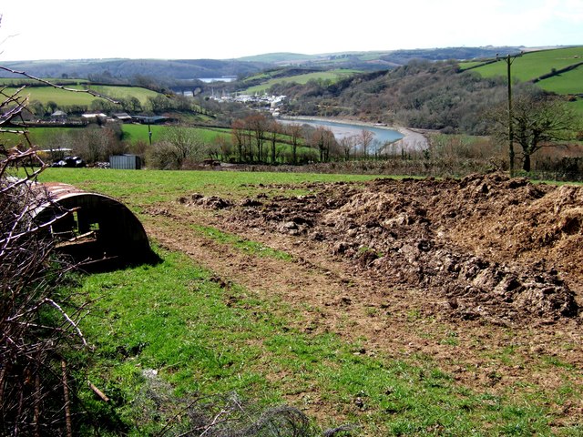
Alderplot Bottom is a picturesque valley located in Cornwall, England. Situated in the southwestern part of the county, it is renowned for its natural beauty and tranquility. The valley stretches over an area of approximately 5 square miles and is surrounded by rolling hills and lush greenery.

The name "Alderplot Bottom" is derived from the presence of numerous alder trees that dot the landscape, adding to the enchanting atmosphere of the valley. The area is also known for its diverse wildlife, including a variety of bird species, small mammals, and amphibians.

The valley is traversed by a small river, which meanders through the landscape, creating a serene and calming ambiance. The river is fed by natural springs and provides a habitat for various aquatic creatures, such as fish and otters.

Alderplot Bottom is a popular destination for nature enthusiasts and outdoor adventurers. The valley offers numerous walking trails and hiking routes, allowing visitors to explore its scenic beauty and immerse themselves in the peaceful surroundings. The area is also ideal for picnics and camping, with several designated spots available for visitors to enjoy the tranquility of the valley.

Furthermore, the valley has historical significance, with remnants of ancient settlements and archaeological sites scattered throughout. These artifacts provide evidence of human activity in the area dating back centuries.

In summary, Alderplot Bottom is a captivating valley in Cornwall, known for its natural splendor, diverse wildlife, and historical significance. It is a haven for those seeking solace in nature and offers a myriad of opportunities for exploration and relaxation.

If you have any feedback on the listing, please let us know in the comments section below.

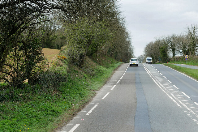
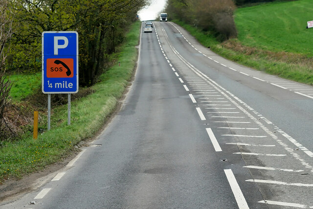
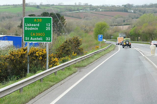
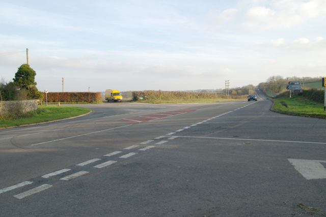
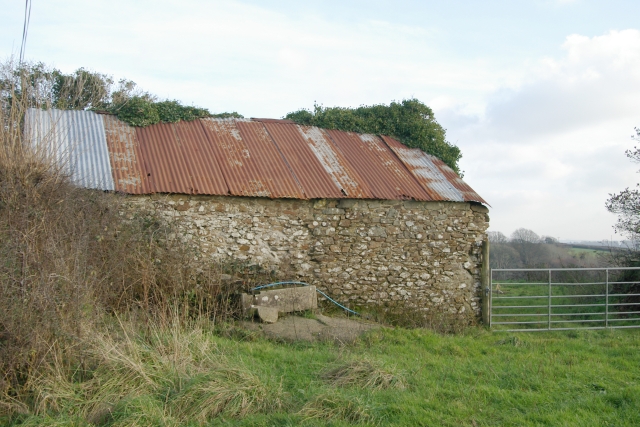
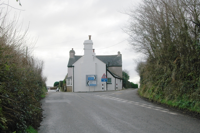
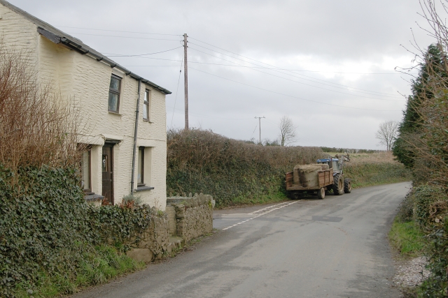
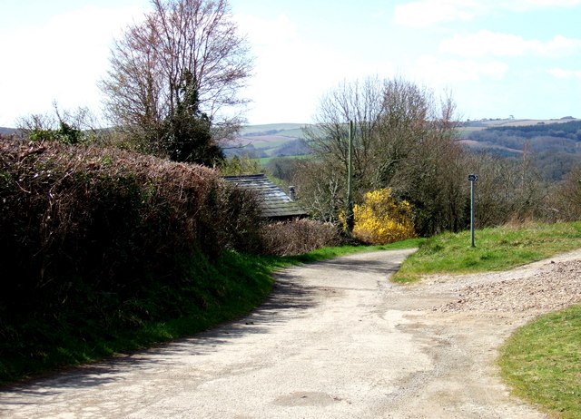
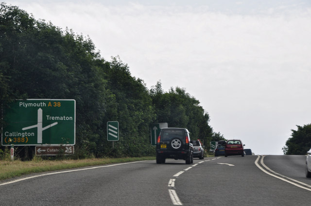
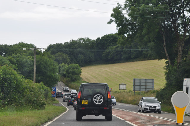
Alderplot Bottom Images

Images are sourced within 2km of 50.411552/-4.2505771 or Grid Reference SX4059. Thanks to Geograph Open Source API. All images are credited.

A38 Liskeard Road The A38 is a major A-class trunk route. When first designated in 1922, it ran from Derby to Plymouth but it was later extended at both ends so that it now runs for 292 miles from Mansfield in Nottinghamshire to Bodmin in Cornwall.

Prior to the opening of the M5 motorway in the 1960s and 1970s, the A38 formed the main "holiday route" from the Midlands to Somerset, Devon and Cornwall and the south-western section was notorious at holiday times for the congestion. Nowadays, for most of the southern section, the A38 is a fairly quiet road shadowing the M5 extremely closely; often running alongside the motorway as a single carriageway road. The section between Exeter and Plymouth is, however, a busy dual carriageway which serves as the southern extension of the M5 and is known as “the Devon Expressway”.

More information at <span class="nowrap"><a title="http://en.wikipedia.org/wiki/A38_road" rel="nofollow ugc noopener" href="http://en.wikipedia.org/wiki/A38_road">Link</a><img style="margin-left:2px;" alt="External link" title="External link - shift click to open in new window" src="https://s1.geograph.org.uk/img/external.png" width="10" height="10"/></span>  (Wikipedia) and <span class="nowrap"><a title="http://www.sabre-roads.org.uk/wiki/index.php?title=A38" rel="nofollow ugc noopener" href="http://www.sabre-roads.org.uk/wiki/index.php?title=A38">Link</a><img style="margin-left:2px;" alt="External link" title="External link - shift click to open in new window" src="https://s1.geograph.org.uk/img/external.png" width="10" height="10"/></span>  (SABRE).
A38 Liskeard Road
The A38 is a major A-class trunk route. When first designated in 1922, it ran from Derby to Plymouth but it was later extended at both ends so that it now runs for 292 miles from Mansfield in Nottinghamshire to Bodmin in Cornwall. Prior to the opening of the M5 motorway in the 1960s and 1970s, the A38 formed the main "holiday route" from the Midlands to Somerset, Devon and Cornwall and the south-western section was notorious at holiday times for the congestion. Nowadays, for most of the southern section, the A38 is a fairly quiet road shadowing the M5 extremely closely; often running alongside the motorway as a single carriageway road. The section between Exeter and Plymouth is, however, a busy dual carriageway which serves as the southern extension of the M5 and is known as “the Devon Expressway”. More information at LinkExternal link (Wikipedia) and LinkExternal link (SABRE).
A38 between Landrake and Saltash The A38 is a major A-class trunk route. When first designated in 1922, it ran from Derby to Plymouth but it was later extended at both ends so that it now runs for 292 miles from Mansfield in Nottinghamshire to Bodmin in Cornwall.

Prior to the opening of the M5 motorway in the 1960s and 1970s, the A38 formed the main "holiday route" from the Midlands to Somerset, Devon and Cornwall and the south-western section was notorious at holiday times for the congestion. Nowadays, for most of the southern section, the A38 is a fairly quiet road shadowing the M5 extremely closely; often running alongside the motorway as a single carriageway road. The section between Exeter and Plymouth is, however, a busy dual carriageway which serves as the southern extension of the M5 and is known as “the Devon Expressway”.

More information at <span class="nowrap"><a title="http://en.wikipedia.org/wiki/A38_road" rel="nofollow ugc noopener" href="http://en.wikipedia.org/wiki/A38_road">Link</a><img style="margin-left:2px;" alt="External link" title="External link - shift click to open in new window" src="https://s1.geograph.org.uk/img/external.png" width="10" height="10"/></span>  (Wikipedia) and <span class="nowrap"><a title="http://www.sabre-roads.org.uk/wiki/index.php?title=A38" rel="nofollow ugc noopener" href="http://www.sabre-roads.org.uk/wiki/index.php?title=A38">Link</a><img style="margin-left:2px;" alt="External link" title="External link - shift click to open in new window" src="https://s1.geograph.org.uk/img/external.png" width="10" height="10"/></span>  (SABRE).
A38 between Landrake and Saltash
The A38 is a major A-class trunk route. When first designated in 1922, it ran from Derby to Plymouth but it was later extended at both ends so that it now runs for 292 miles from Mansfield in Nottinghamshire to Bodmin in Cornwall. Prior to the opening of the M5 motorway in the 1960s and 1970s, the A38 formed the main "holiday route" from the Midlands to Somerset, Devon and Cornwall and the south-western section was notorious at holiday times for the congestion. Nowadays, for most of the southern section, the A38 is a fairly quiet road shadowing the M5 extremely closely; often running alongside the motorway as a single carriageway road. The section between Exeter and Plymouth is, however, a busy dual carriageway which serves as the southern extension of the M5 and is known as “the Devon Expressway”. More information at LinkExternal link (Wikipedia) and LinkExternal link (SABRE).
Eastbound A38 near Burraton Blue signs giving advance notice of toll charges on the Tamar Bridge ahead (although traffic will have to negotiate the Saltash Tunnel before reaching the bridge).
Eastbound A38 near Burraton
Blue signs giving advance notice of toll charges on the Tamar Bridge ahead (although traffic will have to negotiate the Saltash Tunnel before reaching the bridge).
Westbound A38 at Carkeel The A38 is a major A-class trunk route. When first designated in 1922, it ran from Derby to Plymouth but it was later extended at both ends so that it now runs for 292 miles from Mansfield in Nottinghamshire to Bodmin in Cornwall.

Prior to the opening of the M5 motorway in the 1960s and 1970s, the A38 formed the main "holiday route" from the Midlands to Somerset, Devon and Cornwall and the south-western section was notorious at holiday times for the congestion. Nowadays, for most of the southern section, the A38 is a fairly quiet road shadowing the M5 extremely closely; often running alongside the motorway as a single carriageway road. The section between Exeter and Plymouth is, however, a busy dual carriageway which serves as the southern extension of the M5 and is known as “the Devon Expressway”.

More information at <span class="nowrap"><a title="http://en.wikipedia.org/wiki/A38_road" rel="nofollow ugc noopener" href="http://en.wikipedia.org/wiki/A38_road">Link</a><img style="margin-left:2px;" alt="External link" title="External link - shift click to open in new window" src="https://s1.geograph.org.uk/img/external.png" width="10" height="10"/></span>  (Wikipedia) and <span class="nowrap"><a title="http://www.sabre-roads.org.uk/wiki/index.php?title=A38" rel="nofollow ugc noopener" href="http://www.sabre-roads.org.uk/wiki/index.php?title=A38">Link</a><img style="margin-left:2px;" alt="External link" title="External link - shift click to open in new window" src="https://s1.geograph.org.uk/img/external.png" width="10" height="10"/></span>  (SABRE).
Westbound A38 at Carkeel
The A38 is a major A-class trunk route. When first designated in 1922, it ran from Derby to Plymouth but it was later extended at both ends so that it now runs for 292 miles from Mansfield in Nottinghamshire to Bodmin in Cornwall. Prior to the opening of the M5 motorway in the 1960s and 1970s, the A38 formed the main "holiday route" from the Midlands to Somerset, Devon and Cornwall and the south-western section was notorious at holiday times for the congestion. Nowadays, for most of the southern section, the A38 is a fairly quiet road shadowing the M5 extremely closely; often running alongside the motorway as a single carriageway road. The section between Exeter and Plymouth is, however, a busy dual carriageway which serves as the southern extension of the M5 and is known as “the Devon Expressway”. More information at LinkExternal link (Wikipedia) and LinkExternal link (SABRE).
Saltash Travelodge
Saltash Travelodge
Stoketon Cross, near Saltash Stoketon Cross, on the A38 near Saltash has been the scene of many serious road accidents. The road leading into the picture from the left is a fairly steep hill and traffic comes over the crest to sometimes meet slow traffic crossing its path across the staggered junction with inevitable consequences. The car heading towards the camera has come from the Saltash direction.
Stoketon Cross, near Saltash
Stoketon Cross, on the A38 near Saltash has been the scene of many serious road accidents. The road leading into the picture from the left is a fairly steep hill and traffic comes over the crest to sometimes meet slow traffic crossing its path across the staggered junction with inevitable consequences. The car heading towards the camera has come from the Saltash direction.
Shed near Burell Farm, Trematon Shed near Burell Farm, Trematon, near Saltash, Cornwall.
Shed near Burell Farm, Trematon
Shed near Burell Farm, Trematon, near Saltash, Cornwall.
Road junction, Trematon Junction south of Trematon, near Saltash, Cornwall. The right fork leads to Elm Gate, and the left towards Trehan. Vandals have been busy with the road signs, and have removed some of the stick on letters.
Road junction, Trematon
Junction south of Trematon, near Saltash, Cornwall. The right fork leads to Elm Gate, and the left towards Trehan. Vandals have been busy with the road signs, and have removed some of the stick on letters.
Farmer's tea break, Trematon A scene south of Trematon village, near Saltash. The tractor parked by the side of the road hadn't been there long - the engine was still warm! This view is looking towards Trematon.
Farmer's tea break, Trematon
A scene south of Trematon village, near Saltash. The tractor parked by the side of the road hadn't been there long - the engine was still warm! This view is looking towards Trematon.
Trevollard A very tranquil hamlet on a beautiful Spring day.
Trevollard
A very tranquil hamlet on a beautiful Spring day.
Cumble Tor View Taken from the farm gateway at the 90º bend on the lane through Cumble Tor.
A good heap of manure in the foreground and splendid views down the River Lynher past the Boating Centre to the railway viaduct in the distance.
Cumble Tor View
Taken from the farm gateway at the 90º bend on the lane through Cumble Tor. A good heap of manure in the foreground and splendid views down the River Lynher past the Boating Centre to the railway viaduct in the distance.
The Crooked Inn, Stoketon There's a good few farm animals wandering around the grounds of this inn - especially ducks - and they're ducks with attitude too !
The Crooked Inn, Stoketon
There's a good few farm animals wandering around the grounds of this inn - especially ducks - and they're ducks with attitude too !
The Crooked Inn near Trematon A good spot to break the dash westward to Cornwall, and a warm welcome from the resident geese as well.
The Crooked Inn near Trematon
A good spot to break the dash westward to Cornwall, and a warm welcome from the resident geese as well.
At Trematon A view towards Trematon Villa Farm from a gateway on Broad Lane just east of The Pound.
At Trematon
A view towards Trematon Villa Farm from a gateway on Broad Lane just east of The Pound.
Cornwall : Liskeard Road, A38 The A38 heads along Liskeard Road.
Cornwall : Liskeard Road, A38
The A38 heads along Liskeard Road.
Cornwall : Liskeard Road, A38 The A38 heads through the county of Cornwall.
Cornwall : Liskeard Road, A38
The A38 heads through the county of Cornwall.
A38 Liskeard Rd August traffic on the A38. Managed to get stuck behind this rather wide caravan and followed it for miles.
A38 Liskeard Rd
August traffic on the A38. Managed to get stuck behind this rather wide caravan and followed it for miles.
Communications mast near Five Acres
Show me another place!

Alderplot Bottom is located at Grid Ref: SX4059 (Lat: 50.411552, Lng: -4.2505771)

Unitary Authority: Cornwall

Police Authority: Devon and Cornwall

What 3 Words

///remember.aims.throat. Near Saltash, Cornwall

Related Wikis

Trematon

Trematon is a village in Cornwall, England, UK, accessible via the A38 and about two miles (3 km) from the town of Saltash and part of the civil parish...

Burraton Coombe

Burraton Coombe is a village forming a suburb on the west side of Saltash in Cornwall, England. == References ==

Trehan

Trehan is a hamlet near Saltash in Cornwall, England, United Kingdom. == References ==

Burraton

Burraton is a northern suburb of Saltash, Cornwall, England, UK. == References == == External links == Media related to Burraton at Wikimedia Commons

Trematon Castle

Trematon Castle (Cornish: Kastel Tremen) is situated near Saltash in Cornwall, England, United Kingdom. It was the caput of the feudal barony of Trematon...

Carkeel

Carkeel is a hamlet north of Saltash in southeast Cornwall, England. == References ==

Forder, Cornwall

Forder is a village near Saltash in Cornwall, England.Forder viaduct was formerly at Milepost 252.25, 1.25 miles (2.0 km) west of Saltash (50.395087°N...

Saltash United F.C.

Saltash United Football Club is an English football club based in Saltash, Cornwall. They currently play in the Western League Premier Division. Since...

Nearby Amenities

Located within 500m of 50.411552,-4.2505771
Power: pole
Lat/Long: 50.4118405/-4.2471734
Material: wood
Power: pole
Lat/Long: 50.4127054/-4.2489329
Material: wood
Power: pole
Lat/Long: 50.4132523/-4.2500541
Power: pole
Lat/Long: 50.4138147/-4.2511135
Power: pole
Lat/Long: 50.4147274/-4.2529508
Power: pole
Lat/Long: 50.4153016/-4.2540479
Power: pole
Lat/Long: 50.4143001/-4.2552227
Power: pole
Lat/Long: 50.413107/-4.2539513
Power: pole
Lat/Long: 50.4124797/-4.2533022
Power: pole
Lat/Long: 50.411849/-4.2526156
Power: pole
Lat/Long: 50.409803/-4.2504859
Power: pole
Lat/Long: 50.4089329/-4.2495766
Power: pole
Lat/Long: 50.4086218/-4.2492333
Power: pole
Lat/Long: 50.4079945/-4.2479941
Power: pole
Lat/Long: 50.4135839/-4.2567167
Material: wood
Power: pole
Lat/Long: 50.4129994/-4.2561802
Power: pole
Lat/Long: 50.4121379/-4.2557618
Power: pole
Lat/Long: 50.4108508/-4.2550644
Power: pole
Lat/Long: 50.4100953/-4.2546299
Power: pole
Lat/Long: 50.4094081/-4.2542356
Location Transition: yes
Power: pole
Lat/Long: 50.4111585/-4.2457813
Waste Basket
Survey Date: 2022-12-14
Lat/Long: 50.4129202/-4.2456663
Barrier: stile
Lat/Long: 50.4132796/-4.2467654
Barrier: stile
Lat/Long: 50.413425/-4.2505128
Barrier: stile
Lat/Long: 50.4135371/-4.251647
Barrier: stile
Lat/Long: 50.4130362/-4.2557876
Barrier: stile
Lat/Long: 50.4128969/-4.2565943
The data included in this document is from www.openstreetmap.org. The data is made available under ODbL.

Have you been to Alderplot Bottom?

Leave your review of Alderplot Bottom below (or comments, questions and feedback).