Caol Ghleann
Valley in Stirlingshire
Scotland
Caol Ghleann

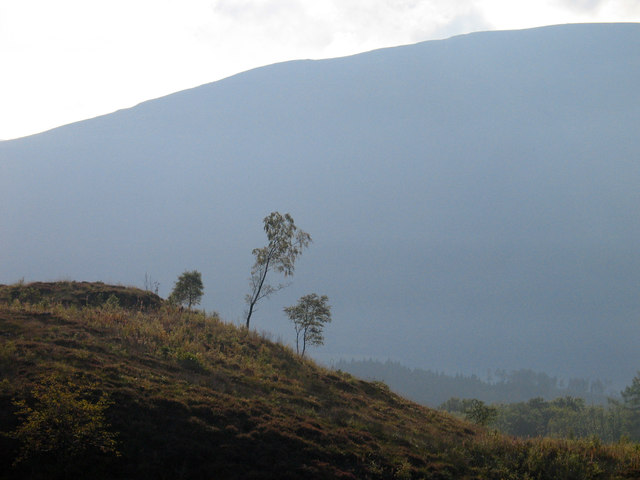
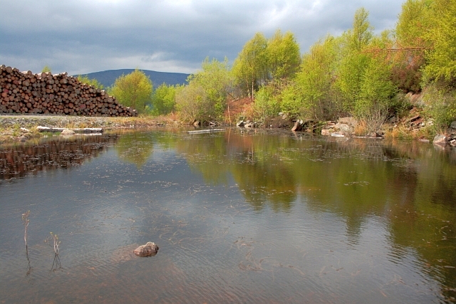
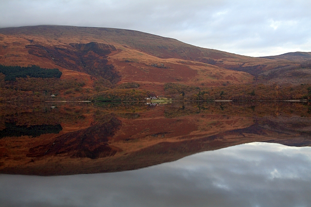
Caol Ghleann, located in Stirlingshire, Scotland, is a picturesque valley renowned for its breathtaking natural beauty and rich historical significance. Nestled amidst the stunning landscapes of the Scottish Highlands, this valley is often referred to as the "Glen of Weeping" due to the melancholic atmosphere created by the surrounding rugged mountains and cascading waterfalls.
The valley is characterized by its lush greenery and diverse wildlife, making it a haven for nature lovers and outdoor enthusiasts. Caol Ghleann boasts a network of walking trails that wind through its enchanting forests, offering visitors the chance to immerse themselves in the serene surroundings and spot rare species such as red deer and golden eagles.
History buffs will appreciate the valley's historical significance, as it served as a crucial route for ancient armies and traders, witnessing numerous battles and conflicts throughout the centuries. Ruins of ancient forts and castles can still be found scattered across the valley, providing a glimpse into its storied past.
Caol Ghleann also offers a range of recreational activities, including fishing in its glistening rivers and streams, as well as camping and picnicking in designated areas. The valley's tranquil ambiance and idyllic setting make it a popular destination for those seeking a peaceful retreat from the bustling city life.
Overall, Caol Ghleann is a captivating destination that blends natural beauty with historical charm, inviting visitors to explore its scenic wonders and uncover the secrets of its past.
If you have any feedback on the listing, please let us know in the comments section below.
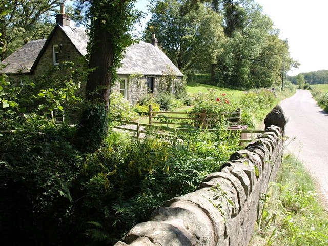
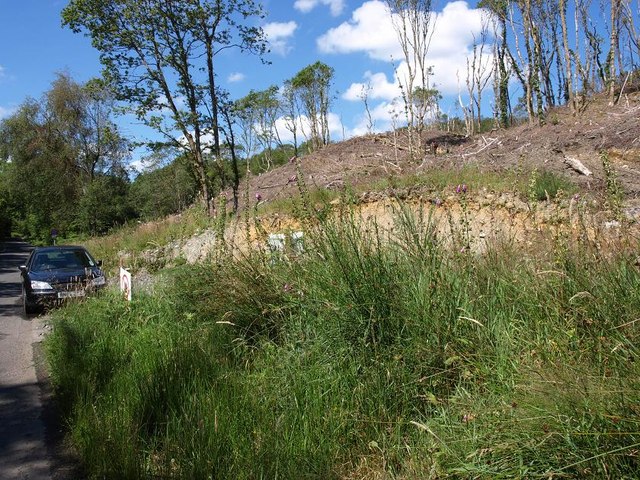
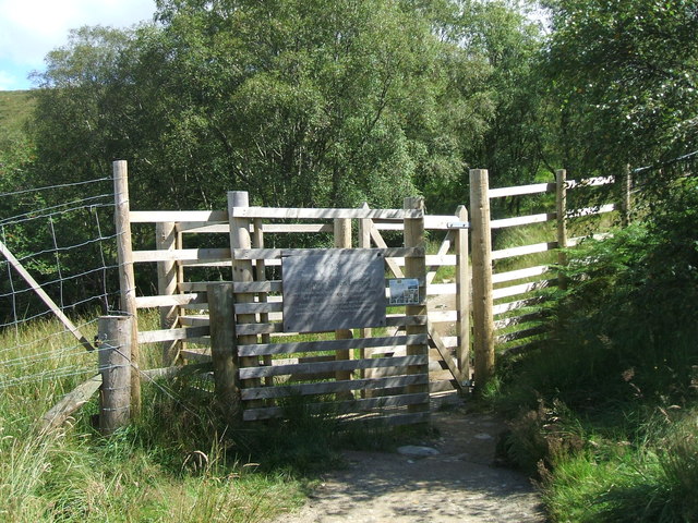
Caol Ghleann Images
Images are sourced within 2km of 56.147502/-4.6147741 or Grid Reference NS3798. Thanks to Geograph Open Source API. All images are credited.


Caol Ghleann is located at Grid Ref: NS3798 (Lat: 56.147502, Lng: -4.6147741)
Unitary Authority: Stirling
Police Authority: Forth Valley
What 3 Words
///silently.chosen.splints. Near Garelochhead, Argyll & Bute
Nearby Locations
Related Wikis
Rowardennan
Rowardennan (Gaelic: Rubha Aird Eònain) is a small rural community on the eastern shore of Loch Lomond in Stirling council, Scotland. It is mainly known...

Eilean nan Deargannan
Eilean nan Deargannan (sometimes written as Eilean Deargannan) is a small island in Loch Lomond, in west central Scotland. It lies between Rowardennan...

Ross Isles
The Ross Isles are two small islands in Loch Lomond, in west central Scotland. They lie opposite Luss, and are named after the promontory on the east shore...

Inverbeg
Inverbeg is a settlement in Argyll and Bute, Scotland. Its Ordnance Survey grid reference is NS3497.It is on the western shore of Loch Lomond. There has...
Nearby Amenities
Located within 500m of 56.147502,-4.6147741Have you been to Caol Ghleann?
Leave your review of Caol Ghleann below (or comments, questions and feedback).