Gleann Gaoithe

Valley in Stirlingshire

Scotland

Gleann Gaoithe

Beinn Uamha (summit) MacAoidh on the summit of Beinn Uamha.
Beinn Uamha (summit) Credit: Raibeart MacAoidh

Gleann Gaoithe, located in Stirlingshire, Scotland, is a picturesque valley nestled amidst the stunning landscapes of the Scottish Highlands. The name "Gleann Gaoithe" translates to "Valley of the Wind" in Gaelic, which aptly describes the area's characteristic gusty winds that blow through the valley.

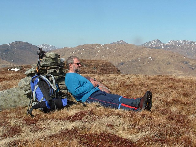
The valley is known for its exceptional natural beauty, with rolling green hills, dense forests, and sparkling streams that meander through the landscape. The surrounding mountains, including the majestic Ben Ledi, provide a breathtaking backdrop to this tranquil valley.

Gleann Gaoithe offers an abundance of outdoor activities for nature enthusiasts. Hiking and walking trails cater to all levels of fitness, allowing visitors to explore the valley's hidden treasures, such as secluded waterfalls and ancient ruins. The valley is also a haven for birdwatchers, as it is home to a diverse range of bird species, including golden eagles and red kites.

For those seeking a peaceful retreat, Gleann Gaoithe offers several charming accommodations, ranging from cozy cottages to luxurious lodges. Visitors can immerse themselves in the tranquility of the valley, enjoying the sounds of nature and the unpolluted night sky, perfect for stargazing.

Located in close proximity to the vibrant city of Stirling, Gleann Gaoithe offers a peaceful escape while still providing easy access to urban amenities. The valley's rich history and cultural heritage can be explored through visits to nearby historic sites, such as Stirling Castle and the Wallace Monument.

Overall, Gleann Gaoithe is a hidden gem within the Scottish Highlands, a place where visitors can immerse themselves in nature, indulge in outdoor activities, and experience the magic of Scotland's stunning landscapes.

If you have any feedback on the listing, please let us know in the comments section below.

Gleann Gaoithe Images

Images are sourced within 2km of 56.222553/-4.6210797 or Grid Reference NN3706. Thanks to Geograph Open Source API. All images are credited.

Beinn Uamha (summit) MacAoidh on the summit of Beinn Uamha.
Beinn Uamha (summit)
MacAoidh on the summit of Beinn Uamha.
Beinn Uamha (Allt nan Seanganan) Looking towards Beinn Uamha and Allt nan Seanganan.
Beinn Uamha (Allt nan Seanganan)
Looking towards Beinn Uamha and Allt nan Seanganan.
View west from minor burn coming off Maol a' Chapuill near Inversnaid
View south from slopes of Maol a' Chapuill near Inversnaid The 'Cromer' road in Gleann Gaoithe then Cruinn a' Bheinn then hiding in weather and background' the home of the most southerly ptarmigan, Ben Lomond.
View south from slopes of Maol a' Chapuill near Inversnaid
The 'Cromer' road in Gleann Gaoithe then Cruinn a' Bheinn then hiding in weather and background' the home of the most southerly ptarmigan, Ben Lomond.
Bracken and rock outcrop east of minor burn coming off Maol a' Chapuill near Inversnaid
Minor burn coming off Maol a' Chapuill near Inversnaid
Big crag on Maol a' Chapuill near Inversnaid
Craggy hillside on Maol a' Chapuill near Inversnaid
South slopes of Maol a' Chapuill taken from Cromer road
Plantation, Abhainn Beag Head of Gleann Dubh, north of Ben Lomond. There has been a lot of native tree planting here.
Plantation, Abhainn Beag
Head of Gleann Dubh, north of Ben Lomond. There has been a lot of native tree planting here.
View down the Abhainn Gaoithe A young woodland north of Ben Lomond. It is established and no longer fenced.
View down the Abhainn Gaoithe
A young woodland north of Ben Lomond. It is established and no longer fenced.
Young trees, Gleann Gaoithe Some of the extensive new plantings of native trees north of Ben Lomond.
Young trees, Gleann Gaoithe
Some of the extensive new plantings of native trees north of Ben Lomond.
Gleann Gaoithe Head of Gleann Dubh, north of Ben Lomond. There has been a lot of native woodland planting here.
Gleann Gaoithe
Head of Gleann Dubh, north of Ben Lomond. There has been a lot of native woodland planting here.
Gleann Gaoithe The fence here is starting to fall to bits. View up towards Beinn Uamha.
Gleann Gaoithe
The fence here is starting to fall to bits. View up towards Beinn Uamha.
Road under Beinn Uamha It rains a lot here. The road links Comer and Cailness.
Road under Beinn Uamha
It rains a lot here. The road links Comer and Cailness.
Woodland, Gleann Gaoithe A young native woodland with lots of oaks, which is no longer fenced in.
Woodland, Gleann Gaoithe
A young native woodland with lots of oaks, which is no longer fenced in.
Gleann Gaoithe Looking downstream, from the road to Cailness.  There is a young native woodland here.
Gleann Gaoithe
Looking downstream, from the road to Cailness. There is a young native woodland here.
Gleann Gaoithe Downstream view from the Cailness road.
Gleann Gaoithe
Downstream view from the Cailness road.
Show me another place!

Gleann Gaoithe is located at Grid Ref: NN3706 (Lat: 56.222553, Lng: -4.6210797)

Unitary Authority: Stirling

Police Authority: Forth Valley

What 3 Words

///horseshoe.backward.expanded. Near Garelochhead, Argyll & Bute

Nearby Locations

Gleann Gaoithe

Related Wikis

Loch Arklet

Loch Arklet is a freshwater loch and reservoir in the Trossachs area of the Scottish Highlands. It is within the historic county and registration county...

Loch Lomond and The Trossachs National Park

Loch Lomond and The Trossachs National Park (Scottish Gaelic: Pàirc Nàiseanta Loch Laomainn is nan Tròisichean) is a national park in Scotland centred...

Ben Lomond

Ben Lomond (Scottish Gaelic: Beinn Laomainn, lit. 'Beacon Mountain'), 974 metres (3,196 ft), is a mountain in the Scottish Highlands. Situated on the eastern...

Loch Dubh (Loch Ard Forest)

Loch Dubh ("Black Loch") is a lochan on the Duchray Water in the western part of Loch Ard Forest in the Central Highlands of Scotland. == Location == Loch...

Nearby Amenities

Located within 500m of 56.222553,-4.6210797
Gleann Gaoithe
Place: locality
Lat/Long: 56.2221179/-4.6225918
The data included in this document is from www.openstreetmap.org. The data is made available under ODbL.

Have you been to Gleann Gaoithe?

Leave your review of Gleann Gaoithe below (or comments, questions and feedback).