Corriearklet Glen

Valley in Stirlingshire

Scotland

Corriearklet Glen

Wooded slopes of Maol Mor in The Trossachs
Wooded slopes of Maol Mor in The Trossachs Credit: ian shiell

Corriearklet Glen is a picturesque valley located in Stirlingshire, Scotland. Situated near the town of Aberfoyle, this glen is renowned for its stunning natural beauty and tranquil atmosphere. Surrounded by the majestic Trossachs mountains, it offers visitors a chance to immerse themselves in the breathtaking Scottish countryside.

The glen is characterized by its dense woodland, with towering trees and vibrant flora that create a rich and diverse ecosystem. It is home to a variety of wildlife, including red squirrels, deer, and numerous bird species, making it a haven for nature enthusiasts and birdwatchers.

A small river meanders through the glen, adding to its charm and providing a soothing soundtrack to those exploring its paths. The river is also a popular spot for fishing, attracting anglers looking to catch trout or salmon.

Corriearklet Glen offers a range of outdoor activities for visitors to enjoy. Hiking and walking trails wind their way through the glen, allowing explorers to discover hidden waterfalls, ancient ruins, and breathtaking viewpoints. The glen is also a favored spot for picnics, with several designated areas providing picturesque settings for enjoying a meal surrounded by nature.

For those seeking a more adventurous experience, Corriearklet Glen offers opportunities for mountain biking and horseback riding, with trails suitable for all levels of experience.

Overall, Corriearklet Glen is a true gem in the heart of Stirlingshire, offering a peaceful escape from the hustle and bustle of everyday life. Its natural beauty and range of activities make it a must-visit destination for nature lovers and outdoor enthusiasts alike.

If you have any feedback on the listing, please let us know in the comments section below.

Corriearklet Glen Images

Images are sourced within 2km of 56.259711/-4.6290467 or Grid Reference NN3710. Thanks to Geograph Open Source API. All images are credited.

Wooded slopes of Maol Mor in The Trossachs
Upper slopes of Maol Mor in The Trossachs
Series of grassy plateaux on lower slopes of Maol Mor in The Trossachs
Rock band on slopes of Maol Mor in The Trossachs
Rocky hillside of Maol Mor in The Trossachs
Highest of the small plateaux on the lower slopes of Maol Mor in The Trossachs
Pool on Maol Mor A long, broad ridge with many lumps, bumps and small pools
Pool on Maol Mor
A long, broad ridge with many lumps, bumps and small pools
Low clouds over Loch Lomond Taken from Maol Mor.  The corner of Loch Arklet also peeks into the bottom left hand corner.
Low clouds over Loch Lomond
Taken from Maol Mor. The corner of Loch Arklet also peeks into the bottom left hand corner.
Glen Arklet - Minor road to Inversnaid Looking westward towards Loch Arklet.
Glen Arklet - Minor road to Inversnaid
Looking westward towards Loch Arklet.
Glen Arklet - Minor road near Corriearklet Looking south-westward.
Glen Arklet - Minor road near Corriearklet
Looking south-westward.
Glen Arklet - The reservoir (Loch Arklet) dam Looking southward.
Glen Arklet - The reservoir (Loch Arklet) dam
Looking southward.
Glen Arklet - Minor road beside Loch heading towards Inversnaid Looking westward.
Glen Arklet - Minor road beside Loch heading towards Inversnaid
Looking westward.
Ordnance Survey Flush Bracket 11785 This bracket can be found at the roadside entrance to Loch Arklet dam wall.
The recorded details give a height of 147.275 metres above sea level.
For more detail see : <span class="nowrap"><a title="https://www.bench-marks.org.uk/bm20970" rel="nofollow ugc noopener" href="https://www.bench-marks.org.uk/bm20970">Link</a><img style="margin-left:2px;" alt="External link" title="External link - shift click to open in new window" src="https://s1.geograph.org.uk/img/external.png" width="10" height="10"/></span>
Ordnance Survey Flush Bracket 11785
This bracket can be found at the roadside entrance to Loch Arklet dam wall. The recorded details give a height of 147.275 metres above sea level. For more detail see : LinkExternal link
The old military road The military road was built so that soldiers could move quickly during the time of troubles in the 1700's. It is only about a metre wide but was so well laid that it is still a good walkers' path and the modern road runs very close to it between Inversnaid and Trossachs Pier.
The old military road
The military road was built so that soldiers could move quickly during the time of troubles in the 1700's. It is only about a metre wide but was so well laid that it is still a good walkers' path and the modern road runs very close to it between Inversnaid and Trossachs Pier.
Loch Arklet A dark afternoon beside the reservoir. The loch was much enlarged by a dam to provide drinking water for Glasgow.
Loch Arklet
A dark afternoon beside the reservoir. The loch was much enlarged by a dam to provide drinking water for Glasgow.
Road beside Loch Arklet The road out of Inversnaid approaching Corriearklet.
Road beside Loch Arklet
The road out of Inversnaid approaching Corriearklet.
Road to Inversnaid The skyline is dominated by A' Chrois, Beinn Ime and Ben Vane on the far side of Loch Lomond.
Road to Inversnaid
The skyline is dominated by A' Chrois, Beinn Ime and Ben Vane on the far side of Loch Lomond.
Beside Loch Arklet The original natural loch occupied this end of the glen, now the eastern part of the reservoir.
Beside Loch Arklet
The original natural loch occupied this end of the glen, now the eastern part of the reservoir.
Show me another place!

Corriearklet Glen is located at Grid Ref: NN3710 (Lat: 56.259711, Lng: -4.6290467)

Unitary Authority: Stirling

Police Authority: Forth Valley

What 3 Words

///chuckle.slack.standard. Near Tyndrum, Stirling

Nearby Locations

Corriearklet Glen

Related Wikis

Loch Lomond and The Trossachs National Park

Loch Lomond and The Trossachs National Park (Scottish Gaelic: Pàirc Nàiseanta Loch Laomainn is nan Tròisichean) is a national park in Scotland centred...
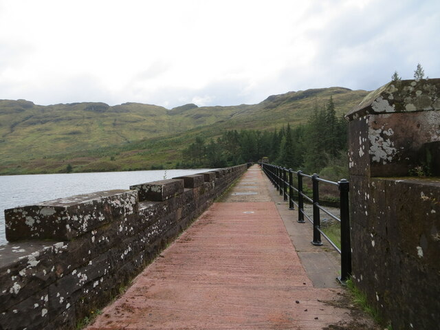
Loch Arklet

Loch Arklet is a freshwater loch and reservoir in the Trossachs area of the Scottish Highlands. It is within the historic county and registration county...
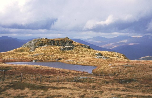
Beinn a' Chòin

Beinn a' Choin (769 m) is a mountain in the Grampian Mountains of Scotland. It lies on the border of the Stirling region and Argyll at the northern end...

Inversnaid

Inversnaid (Scottish Gaelic: Inbhir Snàthaid) is a small rural community on the east bank of Loch Lomond in Scotland, near the north end of the loch....

Inversnaid Falls

Inversnaid Falls is a waterfall of Scotland. == See also == Waterfalls of Scotland == References == Media related to Inversnaid Falls at Wikimedia Commons
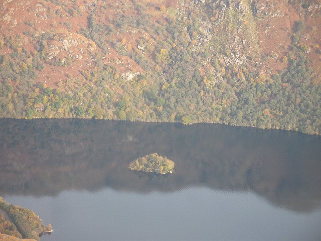
Island I Vow

Island I Vow is a wooded islet near the head of Loch Lomond in west-central Scotland. It is 10 m tall at its highest point, and 80 m long. The island contains...

Meall Mor (Loch Katrine)

Meall Mor (747 m) is a mountain in the Grampian Mountains of Scotland. It lies in the Stirling region, on the northern side of Loch Katrine in the Trossachs...

Creag-an-Arnain Viaduct

The Creag-an-Arnain Viaduct is a railway viaduct that carries the West Highland Line. == History == The viaduct opened to traffic in 1894 as part of the...

Nearby Amenities

Located within 500m of 56.259711,-4.6290467
Corriearklet Glen
Place: locality
Lat/Long: 56.2621151/-4.6354523
The data included in this document is from www.openstreetmap.org. The data is made available under ODbL.

Have you been to Corriearklet Glen?

Leave your review of Corriearklet Glen below (or comments, questions and feedback).