Barn Bottom

Valley in Cornwall

England

Barn Bottom

River Lynher
River Lynher Credit: Paul Barnett

The requested URL returned error: 429 Too Many Requests

If you have any feedback on the listing, please let us know in the comments section below.
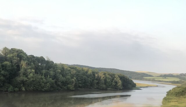
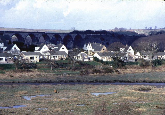
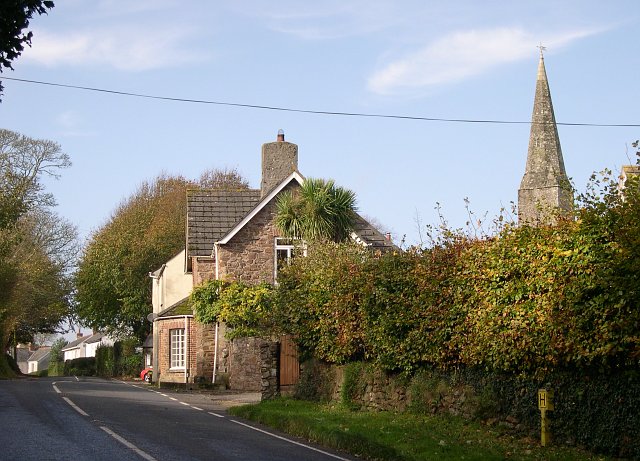
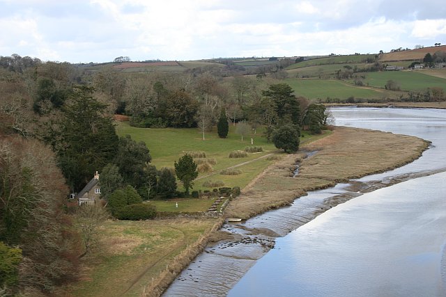
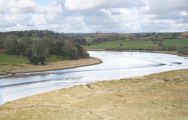
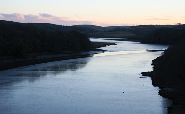
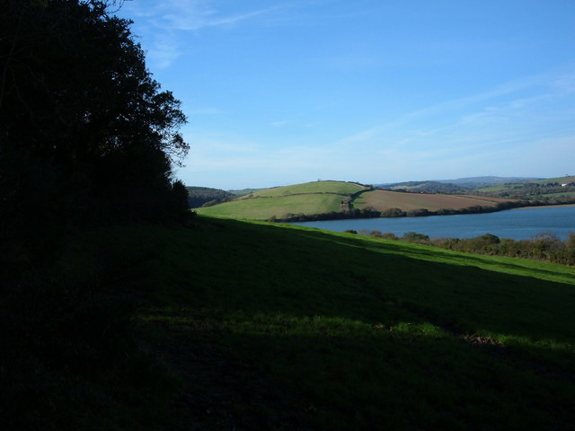
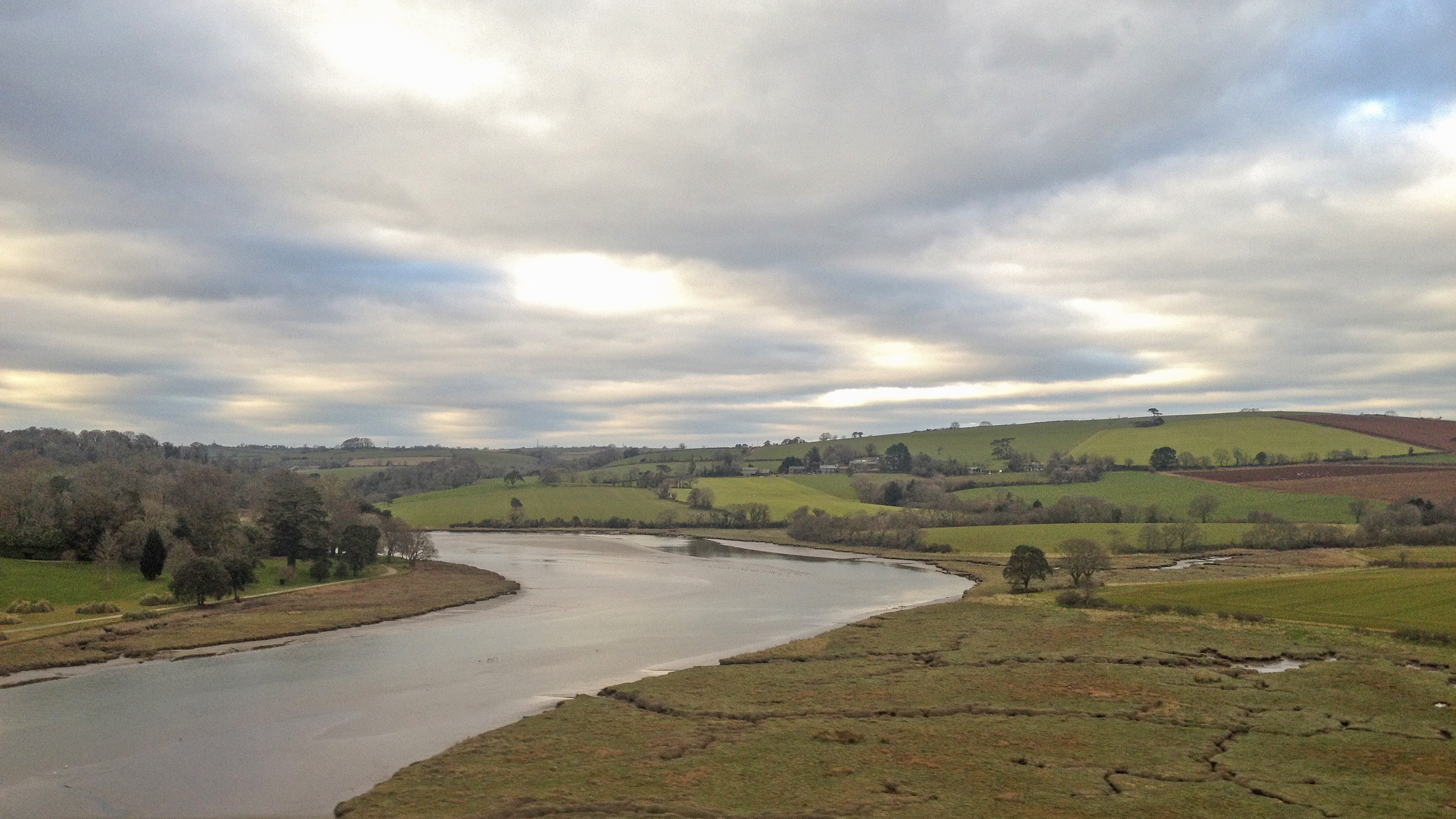
Barn Bottom Images

Images are sourced within 2km of 50.380646/-4.2952513 or Grid Reference SX3655. Thanks to Geograph Open Source API. All images are credited.

River Lynher
River Lynher
St Germans, by the river View northeast from the A374, near the Sconner Inn, across Polbathick Turf and Polbathick Lake (the upper tidal Lynher River Estuary).  Beyond is the then new housing development west of St Germans Quay.  Railway mainline viaduct on the skyline. Photograph taken 1979.
St Germans, by the river
View northeast from the A374, near the Sconner Inn, across Polbathick Turf and Polbathick Lake (the upper tidal Lynher River Estuary). Beyond is the then new housing development west of St Germans Quay. Railway mainline viaduct on the skyline. Photograph taken 1979.
Crafthole Village Crafthole is a village on the hilltop above Portwrinkle. The picture shows part of the old village centre although there are many more 20th century houses in the village.
Crafthole Village
Crafthole is a village on the hilltop above Portwrinkle. The picture shows part of the old village centre although there are many more 20th century houses in the village.
Valley to the north of Trewrickle Farm.
Old farm buildings at Tredrossel Conversions are taking place, the farthest building has been converted into cottages.
Old farm buildings at Tredrossel
Conversions are taking place, the farthest building has been converted into cottages.
Sheviock Looking east towards the village of Sheviock from Horsepool Road.  The freshwater lake in the foreground has been artificially created.
Sheviock
Looking east towards the village of Sheviock from Horsepool Road. The freshwater lake in the foreground has been artificially created.
Sheviock A view of the village from the eastern side.  The church spire on the right is the Parish Church of St Mary, Sheviock.  While this may look an idyllic scene, Sheviock is one of those unfortunate villages which is split by a fast main road.  Although some of the traffic actually obeys the 40mph speed limit, this does not really help to make it either peaceful or safe.
Sheviock
A view of the village from the eastern side. The church spire on the right is the Parish Church of St Mary, Sheviock. While this may look an idyllic scene, Sheviock is one of those unfortunate villages which is split by a fast main road. Although some of the traffic actually obeys the 40mph speed limit, this does not really help to make it either peaceful or safe.
The A374 east of Sheviock This stretch of road between the villages of Antony and Polbathic cuts through the low-lying mainly wooded countryside along the south side of Lynher River estuary.  Its open curves and good cambers make it a favourite with motor cyclists.
The A374 east of Sheviock
This stretch of road between the villages of Antony and Polbathic cuts through the low-lying mainly wooded countryside along the south side of Lynher River estuary. Its open curves and good cambers make it a favourite with motor cyclists.
St Germans Most of the land shown here is part of the Eliot estate.  Photograph was taken from a train on the viaduct over the tidal river looking north.
St Germans
Most of the land shown here is part of the Eliot estate. Photograph was taken from a train on the viaduct over the tidal river looking north.
The River Tiddy: Salt Marsh and Mudflats Taken from a train crossing the viaduct over the river.
The River Tiddy: Salt Marsh and Mudflats
Taken from a train crossing the viaduct over the river.
Evening on the River Lynher As it is not high tide, what you see here is mostly mudflats.  The river channel can be seen crossing the mud near the centre of this photograph. The mica rich mud is however quite reflective, mirroring the sky and trees on the left bank.  This photo was taken from a train on the viaduct across the river.
Evening on the River Lynher
As it is not high tide, what you see here is mostly mudflats. The river channel can be seen crossing the mud near the centre of this photograph. The mica rich mud is however quite reflective, mirroring the sky and trees on the left bank. This photo was taken from a train on the viaduct across the river.
Entrance to Cornish Owl Centre There are a lot of interesting owls here.
Entrance to Cornish Owl Centre
There are a lot of interesting owls here.
Lane to Tredis Plantation, near Polbathic This lane is marked as a "white" (i.e. of dubious driveability) on my OS25000 and likewise on the 1940s map - but the Get-a-Map shows it as a thin yellow (narrow country lane).
Lane to Tredis Plantation, near Polbathic
This lane is marked as a "white" (i.e. of dubious driveability) on my OS25000 and likewise on the 1940s map - but the Get-a-Map shows it as a thin yellow (narrow country lane).
Lynher River near Erth Barton One of the arms of the complex estuary which becomes Plymouth Sound. The Lynher (or St. Germans) River snakes inland for several miles forming numerous tidal creeks. This section varies dramatically between low and high tides.
Lynher River near Erth Barton
One of the arms of the complex estuary which becomes Plymouth Sound. The Lynher (or St. Germans) River snakes inland for several miles forming numerous tidal creeks. This section varies dramatically between low and high tides.
Tidal Marshes, Sconner Turf , St Germans Photograph taken in winter from high ground close to St Germans railway station south eastwards, down river from Polbathic lake.  Sconner Turf Wood is beyond the river. These are the higher reaches of the Lyner, a tidal drowned river valley.
Tidal Marshes, Sconner Turf , St Germans
Photograph taken in winter from high ground close to St Germans railway station south eastwards, down river from Polbathic lake. Sconner Turf Wood is beyond the river. These are the higher reaches of the Lyner, a tidal drowned river valley.
St Germans View south east towards from close to the railway station.  The mainline Cornwall railway viaduct is at the extreme left. The tidal River Tiddy joins the tidal River Lynher at the centre of the photo.
St Germans
View south east towards from close to the railway station. The mainline Cornwall railway viaduct is at the extreme left. The tidal River Tiddy joins the tidal River Lynher at the centre of the photo.
St Germans Railway Station This is an unmanned station on the Cornwall Mainline.  Several local services stop here daily.
St Germans Railway Station
This is an unmanned station on the Cornwall Mainline. Several local services stop here daily.
Erth Hill Looking across St. Germans Estuary at Erth Hill from a field North of Scraesdon Fort. Foreground field in shade of sun.
Erth Hill
Looking across St. Germans Estuary at Erth Hill from a field North of Scraesdon Fort. Foreground field in shade of sun.
Show me another place!

Barn Bottom is located at Grid Ref: SX3655 (Lat: 50.380646, Lng: -4.2952513)

Unitary Authority: Cornwall

Police Authority: Devon and Cornwall

What 3 Words

///sling.unscathed.flippers. Near Landrake, Cornwall

Related Wikis

River Tiddy

The River Tiddy (Cornish: Teudhi) is a small river in south-east Cornwall, the main tributary of the River Lynher. The Tiddy rises near Pensilva and flows...

Sheviock

Sheviock (Cornish: Seviek, meaning strawberry bed) is a coastal civil parish and a hamlet in south-east Cornwall, England, United Kingdom. The parish is...

Crafthole

Crafthole is a village in the parish of Sheviock, in southeast Cornwall, England, UK. The village has a pub (Finnygook Inn), Post Office, shop, Methodist...

St Germans railway station

St Germans railway station (Cornish: Lannaled) serves the village of St Germans in Cornwall, England. The station is managed by Great Western Railway and...

Nearby Amenities

Located within 500m of 50.380646,-4.2952513
Created By: almien_coastlines
Source: PGS
Lat/Long: 50.384378/-4.291992
The data included in this document is from www.openstreetmap.org. The data is made available under ODbL.

Have you been to Barn Bottom?

Leave your review of Barn Bottom below (or comments, questions and feedback).