Carruth Glen

Valley in Renfrewshire

Scotland

Carruth Glen

Access road to Ward House and some mole hills The road is also the start of the Locherwood Community Woodland trails.
Access road to Ward House and some mole hills Credit: wrobison

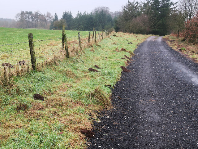
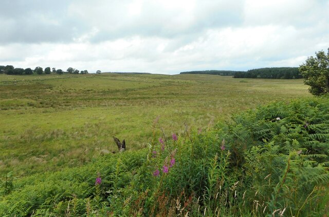
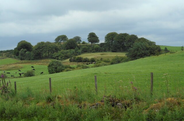
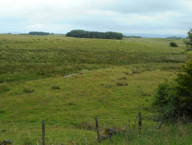
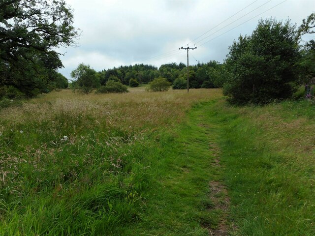
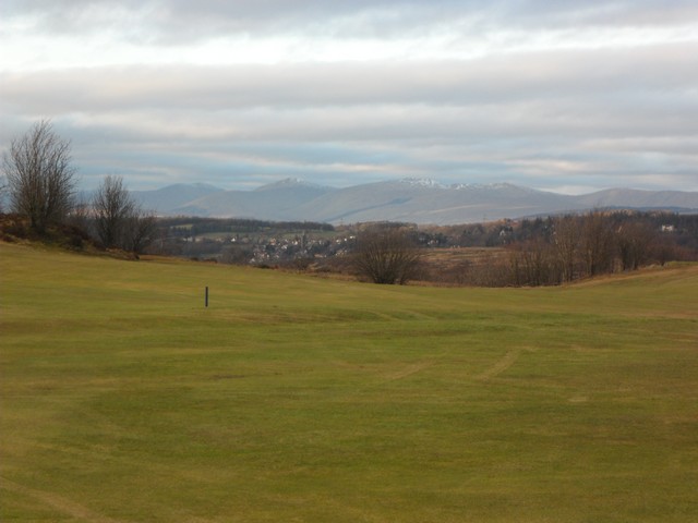
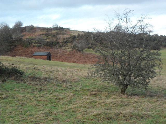
Carruth Glen, located in Renfrewshire, Scotland, is a picturesque valley renowned for its natural beauty and tranquil surroundings. Nestled amidst rolling hills and lush greenery, this valley offers a serene escape from the hustle and bustle of city life.

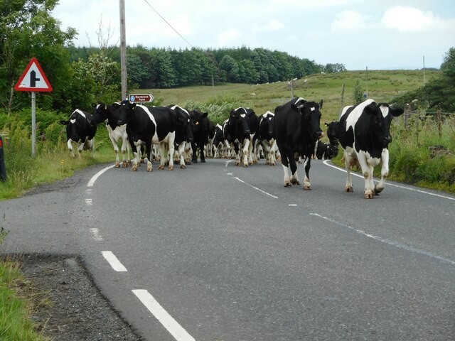
The Glen is blessed with an abundance of flora and fauna, making it a haven for nature enthusiasts and wildlife lovers. The valley is home to a diverse range of plant species, including heather, ferns, and wildflowers that carpet the landscape in vibrant colors throughout the year. It is also a habitat for various bird species, such as buzzards, owls, and songbirds, creating a delightful symphony of chirping and tweeting.

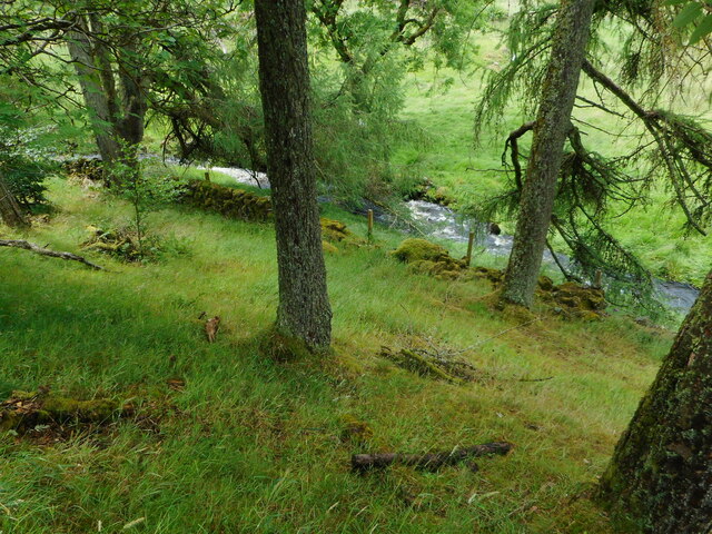
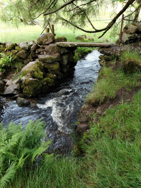
The valley is crisscrossed by meandering streams and rivers, adding to its aesthetic appeal. These water bodies provide a refreshing ambiance and serve as a habitat for fish and other aquatic creatures. The sound of babbling brooks and the sight of sparkling waterfalls enhance the valley's tranquility and create a soothing atmosphere for visitors.

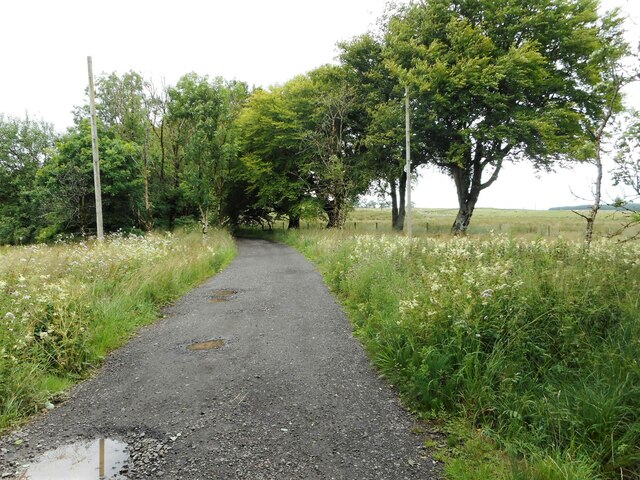
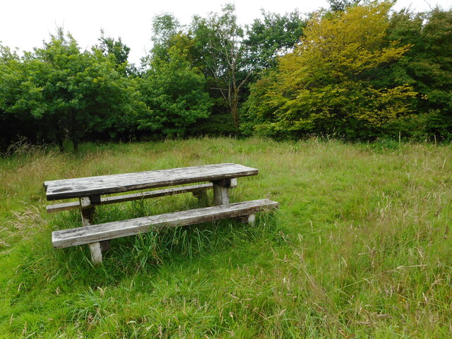
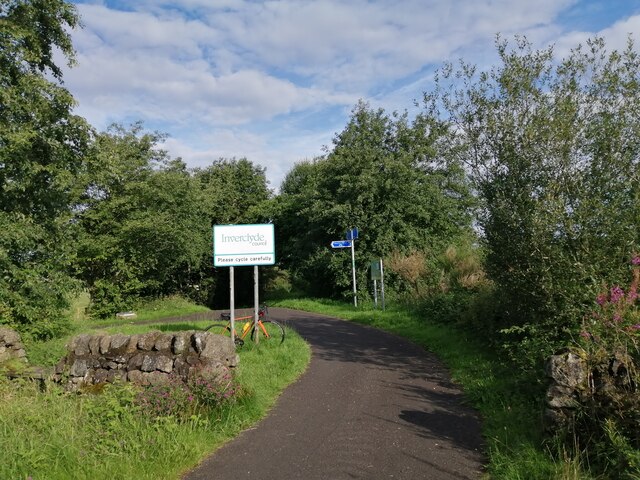
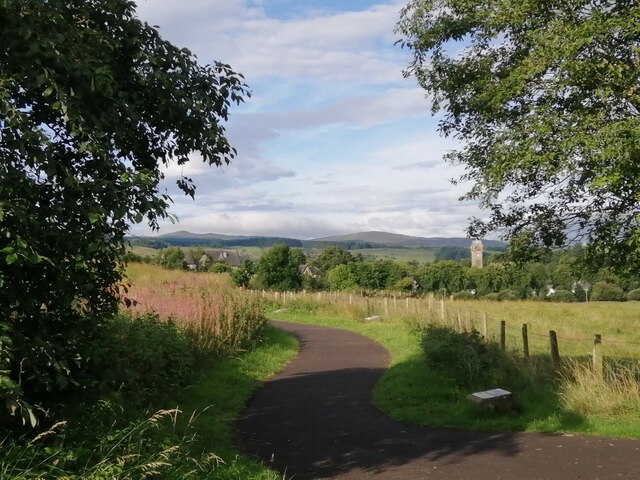
Carruth Glen offers numerous recreational opportunities for outdoor enthusiasts. Hiking trails wind through the valley, providing stunning views of the surrounding landscape. The trails cater to different skill levels, ranging from leisurely strolls to more challenging treks for experienced hikers. Picnic spots are scattered throughout the valley, allowing visitors to enjoy a peaceful meal amidst nature's beauty.

Overall, Carruth Glen is a hidden gem in Renfrewshire, offering a delightful escape into nature's embrace. Its natural beauty, diverse wildlife, and recreational opportunities make it a must-visit destination for those seeking solace and tranquility in the heart of Scotland.

If you have any feedback on the listing, please let us know in the comments section below.

Carruth Glen Images

Images are sourced within 2km of 55.855201/-4.623445 or Grid Reference NS3565. Thanks to Geograph Open Source API. All images are credited.

Access road to Ward House and some mole hills The road is also the start of the Locherwood Community Woodland trails.
Access road to Ward House and some mole hills
The road is also the start of the Locherwood Community Woodland trails.
Here come the cows A herd of cows being driven along the B786, heading for milking.
Here come the cows
A herd of cows being driven along the B786, heading for milking.
There go the cows A herd of cows being driven along the B786, heading for milking.
There go the cows
A herd of cows being driven along the B786, heading for milking.
Sign at the car park The sign for the Locherwood Community Woodland is at the small car park beside the A786.
Sign at the car park
The sign for the Locherwood Community Woodland is at the small car park beside the A786.
Grassland near Ladymuir Seen from the Locherwood Community Woodland car park.
Grassland near Ladymuir
Seen from the Locherwood Community Woodland car park.
Small woodland North of Barnbrock Farm.
Small woodland
North of Barnbrock Farm.
The B786 Approaching the turn off for Barnbrock Farm.
The B786
Approaching the turn off for Barnbrock Farm.
Road to Ward Farm The unmetalled road leads to Ward Farm, but is also the start of some trails around the Locherwood Community Woodland.
Road to Ward Farm
The unmetalled road leads to Ward Farm, but is also the start of some trails around the Locherwood Community Woodland.
Rough grassland near Ladymuir The Locher Water can just be seen in the centre.
Rough grassland near Ladymuir
The Locher Water can just be seen in the centre.
Picnic table Just off one of the paths in Locherwood Community Woodland. There is a good view to the north from here <a href="https://www.geograph.org.uk/photo/7538900">NS3464 : Rough grassland near Ladymuir</a>.
Picnic table
Just off one of the paths in Locherwood Community Woodland. There is a good view to the north from here NS3464 : Rough grassland near Ladymuir.
Looking down on the Locher Water From one of the paths in the Locherwood Community Woodland.
Looking down on the Locher Water
From one of the paths in the Locherwood Community Woodland.
Bridge over the Locher Water Consisting of a single stone slab. The handrail is a double strand of wire.
Bridge over the Locher Water
Consisting of a single stone slab. The handrail is a double strand of wire.
Power lines Crossing one of the paths within the Locherwood Community Woodland.
Power lines
Crossing one of the paths within the Locherwood Community Woodland.
Entering Inverclyde on NCR 75 As noted in <a href="https://www.geograph.org.uk/photo/3527703">NS3667 : National Cycle Network Route 75</a>, National Cycle Route 75 crosses the Renfrew/Inverclyde boundary at this point. A sign now welcomes westbound cyclists to Inverclyde - at least careful ones.
Entering Inverclyde on NCR 75
As noted in NS3667 : National Cycle Network Route 75, National Cycle Route 75 crosses the Renfrew/Inverclyde boundary at this point. A sign now welcomes westbound cyclists to Inverclyde - at least careful ones.
Path to Quarriers Village This short path leads from National Cycle Route 75 to Quarriers Village.
Path to Quarriers Village
This short path leads from National Cycle Route 75 to Quarriers Village.
Kilmacolm and the Firth of Clyde from the air The former Princes Pier railway line can be seen curving through the Gryfe Valley towards Kilmacolm. Port Glasgow is visible on the south bank of the Clyde, Helensburgh on the north, beyond Ardmore Peninsula. The Gareloch and the Arrochar Alps provide a dramatic backdrop.
Kilmacolm and the Firth of Clyde from the air
The former Princes Pier railway line can be seen curving through the Gryfe Valley towards Kilmacolm. Port Glasgow is visible on the south bank of the Clyde, Helensburgh on the north, beyond Ardmore Peninsula. The Gareloch and the Arrochar Alps provide a dramatic backdrop.
Ranfurly Castle Golf Course With a view to Kilmacolm in the near distance, and in the far distance a stunning view of the Arrochar Alps.
Ranfurly Castle Golf Course
With a view to Kilmacolm in the near distance, and in the far distance a stunning view of the Arrochar Alps.
Small hut in the shadow of Torr Hill The trig point marking the 164m summit can also be seen.
Small hut in the shadow of Torr Hill
The trig point marking the 164m summit can also be seen.
Show me another place!

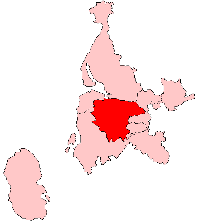
Carruth Glen is located at Grid Ref: NS3565 (Lat: 55.855201, Lng: -4.623445)

Unitary Authority: Renfrewshire

Police Authority: Renfrewshire and Inverclyde

What 3 Words

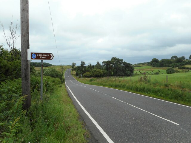
///bookshop.comb.prospered. Near Bridge of Weir, Renfrewshire

Related Wikis

Quarrier's Village

Quarrier's Village or Quarriers Village is a small settlement in the civil parish of Kilmacolm in Inverclyde council area and the historic county of Renfrewshire...

Ranfurly Castle

Ranfurly Castle is a ruined 15th century castle, about 0.5 miles (0.80 km) south west of Bridge of Weir, Renfrewshire, Scotland, in Ranfurly golf course...

Ranfurly, Renfrewshire

Ranfurly (Scottish Gaelic: Rann FeĆ²irling) is a small settlement on the southern edge of the village of Bridge of Weir, which lies within the Gryffe Valley...

Duchal House

Duchal House is an 18th-century mansion and estate near Kilmacolm, Scotland. It is located in Inverclyde, in the former county of Renfrewshire. Duchal...

Gryffe Castle

Gryffe Castle was a castle existing in 1474, probably about 0.5 miles (0.80 km) north of Bridge of Weir, Renfrewshire, Scotland.The present Gryffe Castle...

Bridge of Weir

Bridge of Weir is a village within the Renfrewshire council area and wider historic county of Renfrewshire in the west central Lowlands of Scotland. Lying...

Bridge of Weir railway station

Bridge of Weir railway station was a railway station serving the village of Bridge of Weir, Renfrewshire, Scotland, originally as part of the Bridge of...

West Renfrewshire (Scottish Parliament constituency)

West Renfrewshire was a constituency of the Scottish Parliament (Holyrood). It elected one Member of the Scottish Parliament (MSP) by the first past the...

Have you been to Carruth Glen?

Leave your review of Carruth Glen below (or comments, questions and feedback).