Nant Bodlas

Valley in Caernarfonshire

Wales

Nant Bodlas

Saethon Bach Cottage north of Mynytho
Saethon Bach Credit: Eirian Evans

Nant Bodlas is a picturesque valley located in Caernarfonshire, Wales. Nestled amidst the breathtaking Snowdonia National Park, this valley offers stunning views of the surrounding mountains and lush green landscapes. The valley is situated near the village of Llanberis, which is famed for its rich history and outdoor recreational activities.

Nant Bodlas is characterized by its tranquil and serene atmosphere, making it a popular destination for nature lovers and hikers. The valley is home to a diverse range of flora and fauna, including rare species of plants and birds, making it an ideal spot for wildlife enthusiasts and birdwatchers.

One of the prominent features of Nant Bodlas is the river that runs through it. The river adds to the beauty of the valley, creating a soothing ambiance as it meanders through the landscape. Visitors can enjoy leisurely walks along the riverbank or indulge in activities like fishing and kayaking.

In addition to its natural beauty, Nant Bodlas also boasts historical significance. The valley is dotted with remnants of ancient settlements and structures, offering a glimpse into the region's rich past. History enthusiasts can explore these archaeological sites and learn about the area's intriguing history.

Overall, Nant Bodlas is a hidden gem in Caernarfonshire, offering a perfect blend of natural beauty, outdoor activities, and historical charm. Whether one seeks tranquility, adventure, or a chance to connect with nature, this valley is a must-visit destination.

If you have any feedback on the listing, please let us know in the comments section below.
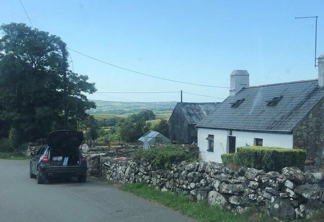
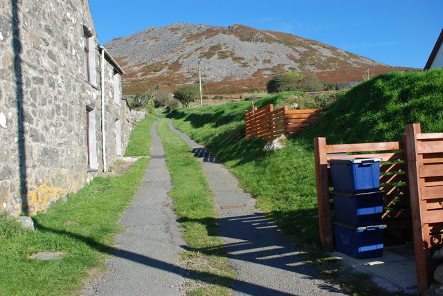
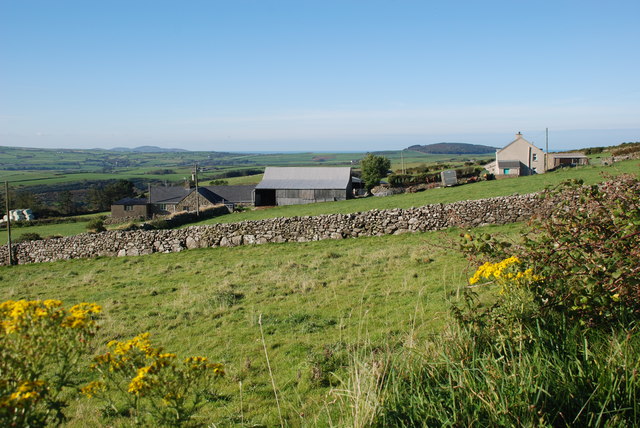
Nant Bodlas Images

Images are sourced within 2km of 52.876398/-4.5389086 or Grid Reference SH2934. Thanks to Geograph Open Source API. All images are credited.
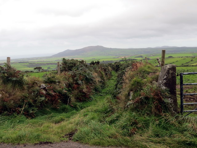
Saethon Bach Cottage north of Mynytho
Saethon Bach
Cottage north of Mynytho
Llwybr i Garn Fadryn - Path to Carn Fadryn
Garnfadryn Looking from the village towards Rhiw and the sea
Garnfadryn
Looking from the village towards Rhiw and the sea
Garnfadryn
Garnfadryn
Capel Garnfadryn Planning has been granted for conversion to a house and art studio, but the work appears to have come to a halt.
Capel Garnfadryn
Planning has been granted for conversion to a house and art studio, but the work appears to have come to a halt.
Ordnance Survey Cut Mark This OS cut mark can be found at the road junction on the NE facing wall. It marks a point 156.101m above mean sea level.
Ordnance Survey Cut Mark
This OS cut mark can be found at the road junction on the NE facing wall. It marks a point 156.101m above mean sea level.
Llwybr Garnfadryn / Path to Garnfadryn Llwybr yn arwain i lawr y waered at bentre Carnfadryn a enwyd ar ol bryn gerllaw. 

A path descending towards Carnfadryn village [trans. Madrun's cairn], named after a nearby hill.
Llwybr Garnfadryn / Path to Garnfadryn
Llwybr yn arwain i lawr y waered at bentre Carnfadryn a enwyd ar ol bryn gerllaw. A path descending towards Carnfadryn village [trans. Madrun's cairn], named after a nearby hill.
Llwybr Ceffyl Garnfadryn / Garnfadryn Bridleway Hen heol sy bellach yn llwybr ceffyl ger pentre Garnfadryn.

An old road now downgraded to a bridleway near Garnfadryn (trans. Madrun's cairn)
Llwybr Ceffyl Garnfadryn / Garnfadryn Bridleway
Hen heol sy bellach yn llwybr ceffyl ger pentre Garnfadryn. An old road now downgraded to a bridleway near Garnfadryn (trans. Madrun's cairn)
Bryngaer Carn Fadrun / Caer Fadrun Hillfort Cerddwr o fewn Bryngaer Carn Fadrun, amddiffynfa sy'n dyddio o'r Oes Haearn.

Walkers within Carn Fadrun hillfort (trans. Madrun's cairn), an Iron Age fortification.
Bryngaer Carn Fadrun / Caer Fadrun Hillfort
Cerddwr o fewn Bryngaer Carn Fadrun, amddiffynfa sy'n dyddio o'r Oes Haearn. Walkers within Carn Fadrun hillfort (trans. Madrun's cairn), an Iron Age fortification.
Tuag at Foel Caerau / Towards Moel Caerau Cerddwyr yn mynd I gyfeiriad Moel Caearau, y bryn yn y pellter.

Walkers heading towards Moel Caearau (trans. bare hilltop of the forts), the hill in the distance.
Tuag at Foel Caerau / Towards Moel Caerau
Cerddwyr yn mynd I gyfeiriad Moel Caearau, y bryn yn y pellter. Walkers heading towards Moel Caearau (trans. bare hilltop of the forts), the hill in the distance.
Llwybr Caerau Uchaf / Upper Caerau Path Cerddwyr yn dilyn llwybr cyhoeddus tuag at Ffarm Caerau Uchaf.

Walkers following a public footpath towards Caerau Uchaf Farm (trans. upper forts).
Llwybr Caerau Uchaf / Upper Caerau Path
Cerddwyr yn dilyn llwybr cyhoeddus tuag at Ffarm Caerau Uchaf. Walkers following a public footpath towards Caerau Uchaf Farm (trans. upper forts).
Tuag at Garn Bach / Towards Garn Bach Cerddwyr yn dilyn llwybr cyhoeddus tuag at Garn Bach, y bryncyn yn y pellter.

Walkers following a public footpath towards Garn Fach (trans. little rock), the hillock in the distance.
Tuag at Garn Bach / Towards Garn Bach
Cerddwyr yn dilyn llwybr cyhoeddus tuag at Garn Bach, y bryncyn yn y pellter. Walkers following a public footpath towards Garn Fach (trans. little rock), the hillock in the distance.
Copa Garn Bach / Summit of Garn Bach Cerddwyr ar gopa Gran Bach.

Walkers on the summit of Garn Bach (trans. little cairn).
Copa Garn Bach / Summit of Garn Bach
Cerddwyr ar gopa Gran Bach. Walkers on the summit of Garn Bach (trans. little cairn).
Dringo Garn Bach / Ascending Garn Bach Cerddwr yn dringo lan Garn Bach.

A walker ascending Garn Bach (trans. little cairn).
Dringo Garn Bach / Ascending Garn Bach
Cerddwr yn dringo lan Garn Bach. A walker ascending Garn Bach (trans. little cairn).
Modern Milestone by the B4415, Nant Saethon Stone post by the B4415, in parish of Llanengan (Gwynedd District), Nant Saethon, East side of road, North of Inkerman Bridge and West of Carn Saethon hillfort. Modern replica of a Caernarvon chamfered milestone.

Inscription reads:-
.......MLS.
PWLLHELI 6
SARN 5
ABERDARON 11

To be surveyed

Milestone Society National ID: CAE_PWAD06
Modern Milestone by the B4415, Nant Saethon
Stone post by the B4415, in parish of Llanengan (Gwynedd District), Nant Saethon, East side of road, North of Inkerman Bridge and West of Carn Saethon hillfort. Modern replica of a Caernarvon chamfered milestone. Inscription reads:- .......MLS. PWLLHELI 6 SARN 5 ABERDARON 11 To be surveyed Milestone Society National ID: CAE_PWAD06
View of Carn Fadryn The peak of Carn Fadryn <a href="https://www.geograph.org.uk/gridref/SH3233">SH3233</a> seen from above Porth y Cychod. Two caravan sites and the village of Tudweiliog in the middle distance.
View of Carn Fadryn
The peak of Carn Fadryn SH3233 seen from above Porth y Cychod. Two caravan sites and the village of Tudweiliog in the middle distance.
Former village store, Garnfadryn The section of the house on the right operated as a village stores into the 1990's.
Former village store, Garnfadryn
The section of the house on the right operated as a village stores into the 1990's.
Carn Fadryn Trig Point Since Barry Hunter was here in 2007 (see <a href="https://www.geograph.org.uk/photo/462230">SH2735 : Carn Fadryn Trig Point</a>) the pillar has lost its bright yellow look, and someone has fallen in love with Ava.
Carn Fadryn Trig Point
Since Barry Hunter was here in 2007 (see SH2735 : Carn Fadryn Trig Point) the pillar has lost its bright yellow look, and someone has fallen in love with Ava.
Show me another place!

Nant Bodlas is located at Grid Ref: SH2934 (Lat: 52.876398, Lng: -4.5389086)

Unitary Authority: Gwynedd

Police Authority: North Wales

What 3 Words

///confirms.pounces.adding. Near Nefyn, Gwynedd

Nearby Locations

Nant Bodlas

Related Wikis

Llanfihangel Bachellaeth

Llanfihangel Bachellaeth is a former civil parish in the Welsh county of Gwynedd. It was abolished in 1934, and incorporated into Buan. == References ==
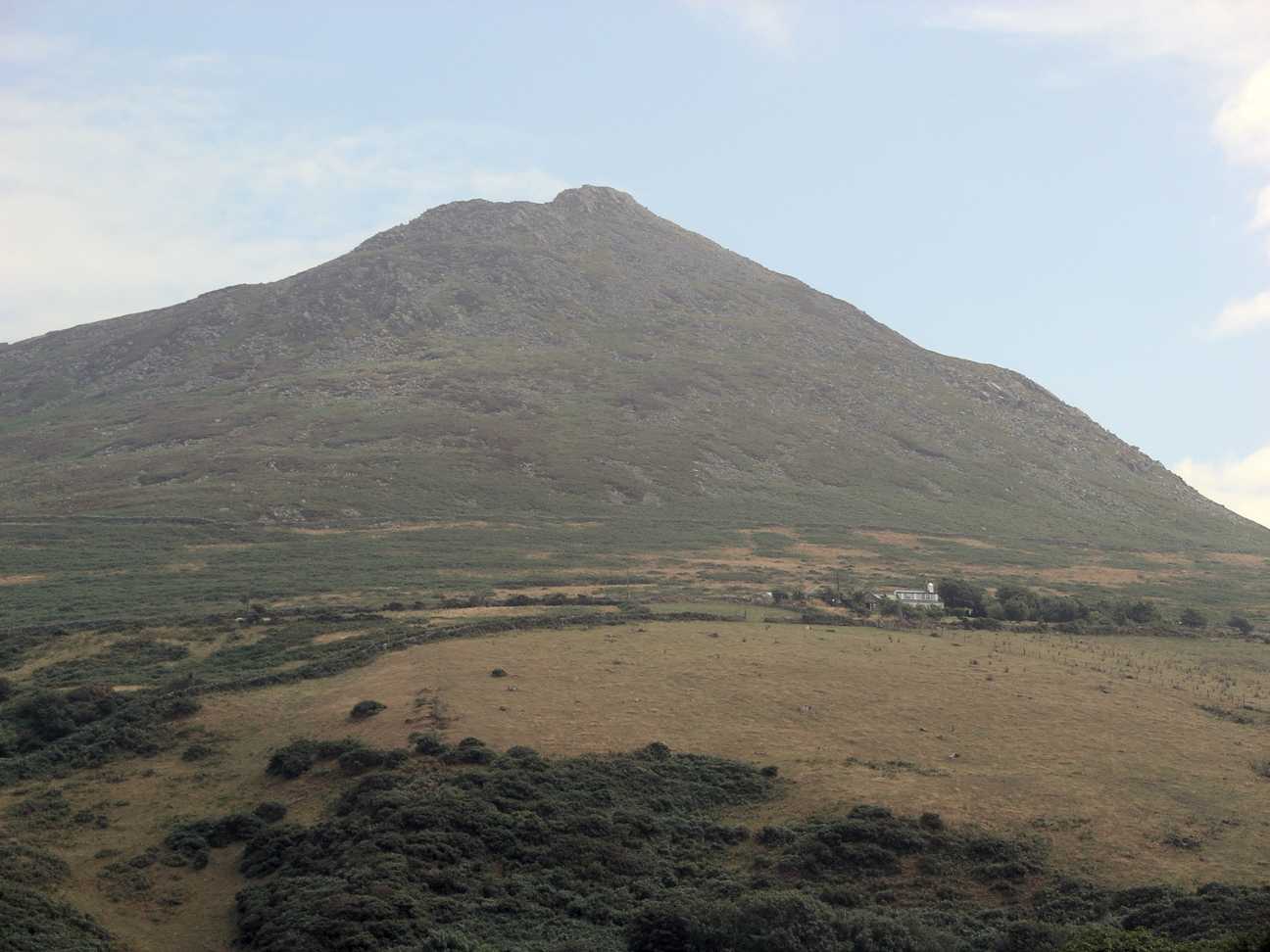
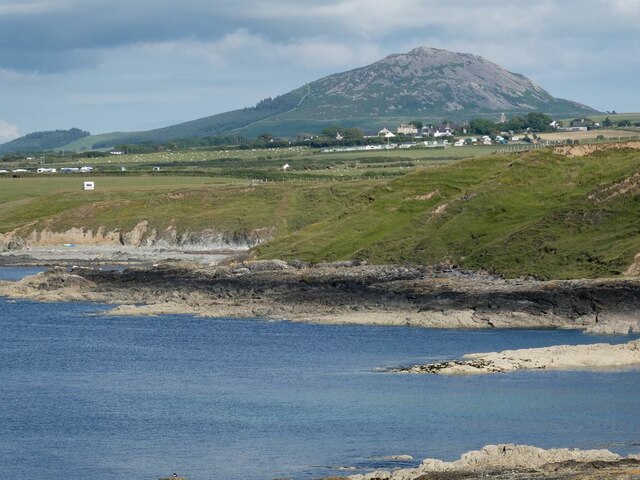
Carn Fadryn

Carn Fadryn, sometimes Carn Fadrun or Garn Fadryn, is a five-hectare Iron Age hillfort and is the name of the mountain on which the fort is situated. It...

Llaniestyn, Gwynedd

Llaniestyn is a village and former civil parish in the Welsh county of Gwynedd. The parish was abolished in 1934, and divided between Tudweiliog and Botwnnog...

Cors Geirch National Nature Reserve

Cors Geirch National Nature Reserve is an extensive wetland site on the Llŷn Peninsula, in the central part of the valley that runs between Nefyn and Pwllheli...

Capel Newydd, Nanhoron

Capel Newydd in Nanhoron, near Llanengan, Gwynedd, is probably the oldest surviving Nonconformist chapel in North Wales. The chapel dates from 1770–1772...

Mynytho

Mynytho is a small village in the parish of Llanengan near the southern coast of the Llŷn Peninsula in northwestern Wales. It consists of a few houses...

Rhydyclafdy

Rhydyclafdy (or Rhyd-y-clafdy) is a small village close to the southern coast of the Llŷn Peninsula in the Welsh county of Gwynedd. It lies 2.8 miles...

Llandudwen

Llandudwen is a former civil parish in the Welsh county of Gwynedd. It was abolished in 1934, and divided between Buan and Tudweiliog. == References ==

Nearby Amenities

Located within 500m of 52.876398,-4.5389086
Power: pole
Lat/Long: 52.8804521/-4.5377451
Power: pole
Lat/Long: 52.880109/-4.5386839
Power: pole
Lat/Long: 52.8795716/-4.5393303
Power: pole
Lat/Long: 52.8788885/-4.5401537
Power: pole
Lat/Long: 52.8782474/-4.5408618
Power: pole
Lat/Long: 52.8775659/-4.5416504
Power: pole
Lat/Long: 52.8768958/-4.5424631
Power: pole
Lat/Long: 52.8762207/-4.5432436
Power: pole
Lat/Long: 52.8755716/-4.5439893
Power: pole
Lat/Long: 52.8750196/-4.5449093
The data included in this document is from www.openstreetmap.org. The data is made available under ODbL.

Have you been to Nant Bodlas?

Leave your review of Nant Bodlas below (or comments, questions and feedback).