Nant Llaniestyn
Valley in Caernarfonshire
Wales
Nant Llaniestyn
The requested URL returned error: 429 Too Many Requests
If you have any feedback on the listing, please let us know in the comments section below.
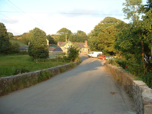
Nant Llaniestyn Images
Images are sourced within 2km of 52.886278/-4.5752969 or Grid Reference SH2635. Thanks to Geograph Open Source API. All images are credited.

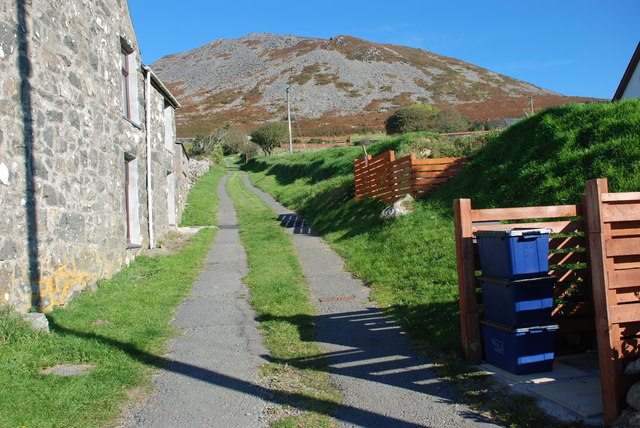


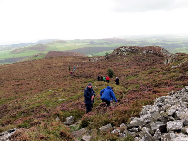
![Llwybr Garnfadryn / Path to Garnfadryn Llwybr yn arwain i lawr y waered at bentre Carnfadryn a enwyd ar ol bryn gerllaw.
A path descending towards Carnfadryn village [trans. Madrun's cairn], named after a nearby hill.](https://s1.geograph.org.uk/geophotos/05/53/86/5538633_4b358d49.jpg)


Nant Llaniestyn is located at Grid Ref: SH2635 (Lat: 52.886278, Lng: -4.5752969)
Unitary Authority: Gwynedd
Police Authority: North Wales
What 3 Words
///sedative.breaches.catchers. Near Nefyn, Gwynedd
Nearby Locations
Related Wikis
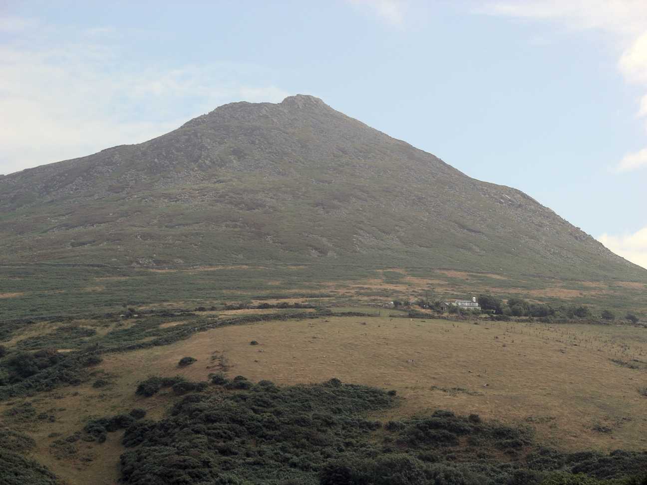
Carn Fadryn
Carn Fadryn, sometimes Carn Fadrun or Garn Fadryn, is a five-hectare Iron Age hillfort and is the name of the mountain on which the fort is situated. It...
Llaniestyn, Gwynedd
Llaniestyn is a village and former civil parish in the Welsh county of Gwynedd. The parish was abolished in 1934, and divided between Tudweiliog and Botwnnog...

Llandudwen
Llandudwen is a former civil parish in the Welsh county of Gwynedd. It was abolished in 1934, and divided between Buan and Tudweiliog. == References ==

Tudweiliog
Tudweiliog is a small, predominantly Welsh-speaking village, community and electoral ward on the northern coast of the Llŷn Peninsula in the Welsh county...
Nearby Amenities
Located within 500m of 52.886278,-4.5752969Have you been to Nant Llaniestyn?
Leave your review of Nant Llaniestyn below (or comments, questions and feedback).