Glen Lochy
Valley in Argyllshire
Scotland
Glen Lochy

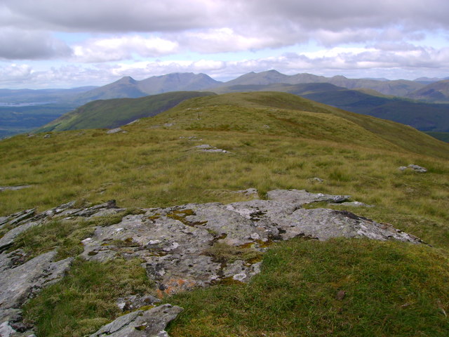
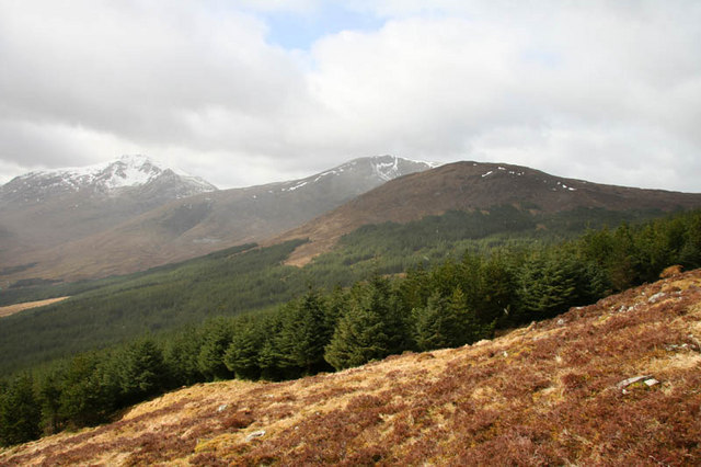
Glen Lochy is a picturesque valley located in the region of Argyllshire, Scotland. Nestled amidst the beautiful Scottish Highlands, this valley offers breathtaking vistas of rolling hills, lush greenery, and meandering streams. It is situated approximately 20 miles northeast of Oban and stretches for about 12 miles.
The valley is renowned for its natural beauty, making it a popular destination for nature enthusiasts and outdoor adventurers. Glen Lochy is predominantly covered in dense forests, consisting of a variety of native trees such as oak, birch, and pine. The area is also rich in wildlife, with numerous species of birds, deer, and other small mammals calling it home.
The centerpiece of Glen Lochy is the meandering River Lochy, which flows through the valley. The river is known for its crystal-clear waters, making it a haven for fishing enthusiasts. Anglers can try their luck at catching salmon and trout, making it a popular spot for fishing excursions.
The valley is also steeped in history and has a number of ancient ruins and landmarks. One notable site is the Kilchurn Castle, a magnificent medieval fortress that sits on the northeastern end of Loch Awe, near the entrance to Glen Lochy. This castle offers a glimpse into Scotland's rich history and provides stunning views of the surrounding landscape.
Overall, Glen Lochy, Argyllshire is a natural wonderland that offers visitors a chance to immerse themselves in the beauty of the Scottish Highlands. Whether it is hiking through the verdant forests, fishing in the pristine river, or exploring the historical sites, this valley has something to offer for everyone seeking a tranquil and picturesque escape.
If you have any feedback on the listing, please let us know in the comments section below.
Glen Lochy Images
Images are sourced within 2km of 56.424387/-4.8345756 or Grid Reference NN2529. Thanks to Geograph Open Source API. All images are credited.


Glen Lochy is located at Grid Ref: NN2529 (Lat: 56.424387, Lng: -4.8345756)
Unitary Authority: Argyll and Bute
Police Authority: Argyll and West Dunbartonshire
What 3 Words
///castle.imprinted.fairly. Near Tyndrum, Stirling
Nearby Locations
Related Wikis

Beinn Chùirn
Beinn Chùirn is a hill five kilometres (3.1 miles) west-south-west of Tyndrum, Scotland, standing on the border of Stirlingshire and Perthshire at the...

Ben Lui
Ben Lui (Scottish Gaelic: Beinn Laoigh) is a mountain in the southern Highlands of Scotland. It is a Munro with a height of 1,130 metres (3,710 ft). Ben...

Beinn a' Chleibh
Beinn a' Chleibh (Gaelic: Beinn a' Chlèibh) is a Scottish mountain. It is linked to Ben Lui by a short ridge. == References == The Munros, Scottish Mountaineering...
Meall Odhar
Meall Odhar is a mountain in the Scottish Highlands, situated about 3 km to the west of Tyndrum, close to the northern boundary of the Loch Lomond and...
Have you been to Glen Lochy?
Leave your review of Glen Lochy below (or comments, questions and feedback).