Dunrod Glen
Valley in Renfrewshire
Scotland
Dunrod Glen

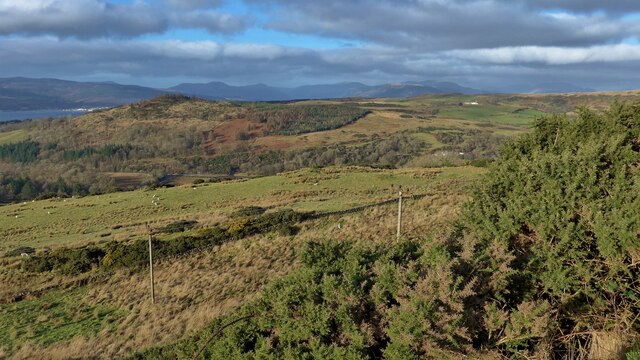
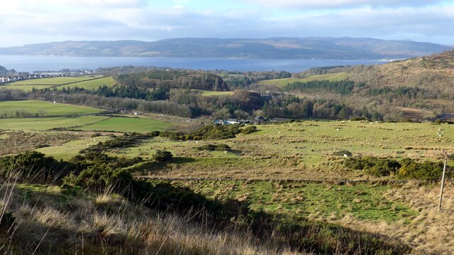
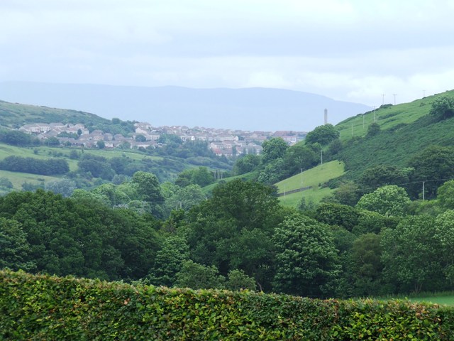
Dunrod Glen is a picturesque valley located in the county of Renfrewshire, Scotland. The glen is known for its stunning natural beauty, with rolling hills, lush greenery, and a meandering stream running through the valley. The area is popular with hikers and nature enthusiasts, who come to explore the many walking trails that wind through the glen.
Dunrod Glen is home to a variety of wildlife, including deer, foxes, and a wide array of bird species. The valley is a designated conservation area, ensuring that the natural habitat is protected and preserved for future generations to enjoy.
The surrounding area is dotted with quaint villages and historic landmarks, adding to the charm and character of Dunrod Glen. Visitors can take in the breathtaking views from various vantage points throughout the valley, or simply relax and unwind in the peaceful surroundings.
Overall, Dunrod Glen is a hidden gem in Renfrewshire, offering a tranquil escape from the hustle and bustle of everyday life. Whether you're looking for a challenging hike or a quiet retreat in nature, Dunrod Glen has something to offer for everyone.
If you have any feedback on the listing, please let us know in the comments section below.
Dunrod Glen Images
Images are sourced within 2km of 55.917037/-4.8468883 or Grid Reference NS2272. Thanks to Geograph Open Source API. All images are credited.


Dunrod Glen is located at Grid Ref: NS2272 (Lat: 55.917037, Lng: -4.8468883)
Unitary Authority: Inverclyde
Police Authority: Renfrewshire and Inverclyde
What 3 Words
///buzzards.comment.scripted. Near Inverkip, Inverclyde
Nearby Locations
Related Wikis
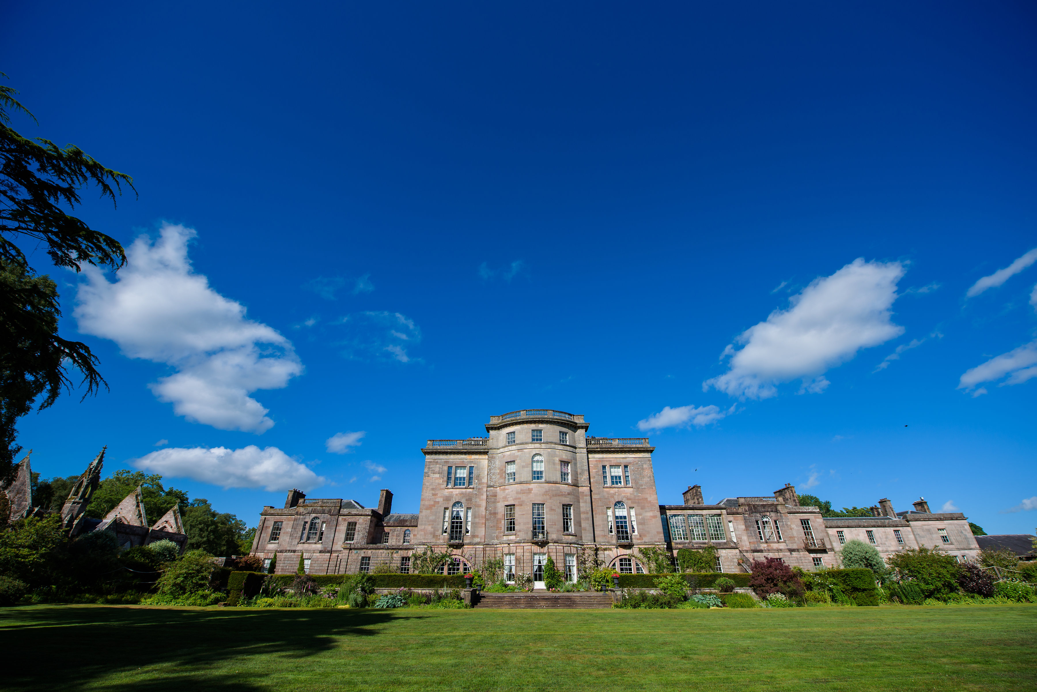
Ardgowan House
Ardgowan House, Castle & Gardens is a Privately owned late 18th-century mansion on the Firth of Clyde near Inverkip, Scotland. Ardgowan is located in Inverclyde...

Ardgowan Castle
Ardgowan Castle, originally called Inverkip Castle, is located in the Private Garden of "Ardgowan House, Castle & Gardens" near Inverkip, Scotland. It...
Spango Valley
Spango Valley is a steep sided valley to the south-west of Greenock, Scotland. It runs approximately south west to north east for around 2.4 km (1.5 mi...

Inverkip
Inverkip (; Scottish Gaelic: Inbhir Chip) is a village and parish in the Inverclyde council area and historic county of Renfrewshire in the west central...
Nearby Amenities
Located within 500m of 55.917037,-4.8468883Have you been to Dunrod Glen?
Leave your review of Dunrod Glen below (or comments, questions and feedback).