Ladywood
Settlement in Worcestershire Wychavon
England
Ladywood

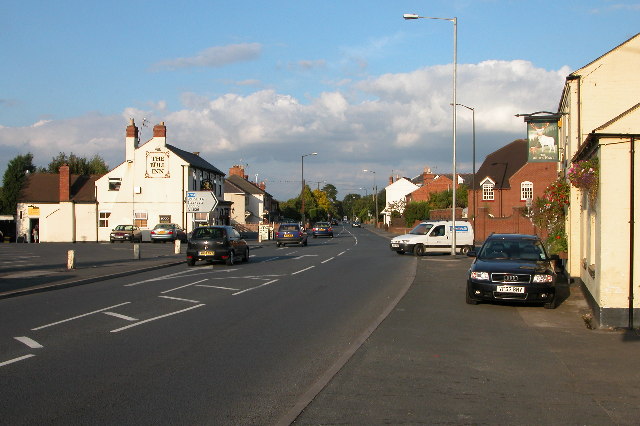
Ladywood is a small village located in the county of Worcestershire, England. Situated approximately 4 miles south of the city of Worcester, Ladywood is a predominantly rural area known for its picturesque countryside and tranquil atmosphere.
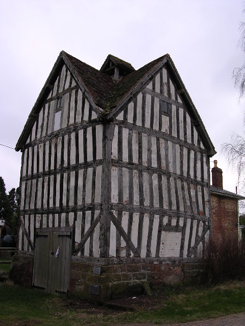
The village is home to a population of around 500 residents, and its origins can be traced back to the medieval period. The area is dotted with charming cottages and traditional houses, many of which boast stunning views of the surrounding Malvern Hills and nearby farmland.
Despite its rural setting, Ladywood benefits from its close proximity to Worcester, which provides access to a range of amenities and services. The village itself features a local primary school, providing education for the younger generation, and a village hall that serves as a focal point for community activities.
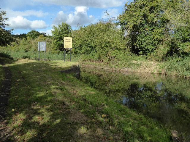
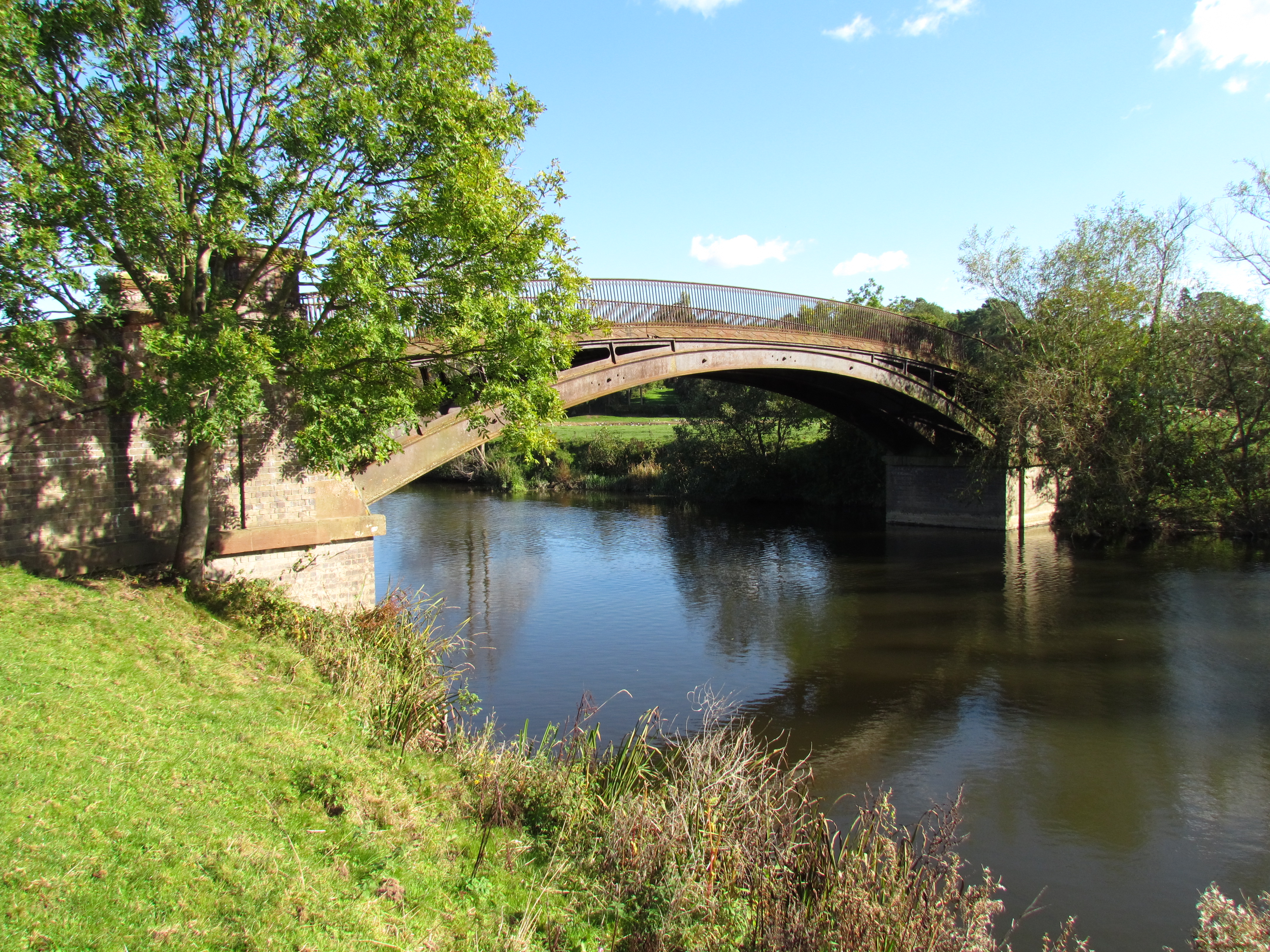
Nature enthusiasts will find plenty to explore in the area surrounding Ladywood. The nearby Worcester Woods Country Park is a popular destination for outdoor enthusiasts, offering walking trails, picnic areas, and a variety of wildlife. Additionally, the River Severn runs just to the east of the village, providing opportunities for fishing and boating.
Ladywood offers a peaceful and idyllic lifestyle, making it a sought-after location for those looking to escape the hustle and bustle of city living. With its charming countryside, close-knit community, and convenient access to nearby amenities, Ladywood is a place that truly embodies the beauty of rural Worcestershire.
If you have any feedback on the listing, please let us know in the comments section below.
Ladywood Images
Images are sourced within 2km of 52.24789/-2.191849 or Grid Reference SO8761. Thanks to Geograph Open Source API. All images are credited.


Ladywood is located at Grid Ref: SO8761 (Lat: 52.24789, Lng: -2.191849)
Administrative County: Worcestershire
District: Wychavon
Police Authority: West Mercia
What 3 Words
///twice.gentle.case. Near Fernhill Heath, Worcestershire
Related Wikis

Salwarpe
Salwarpe is a small village and civil parish in the Wychavon district of Worcestershire, England, less than two miles south west of Droitwich, but in open...
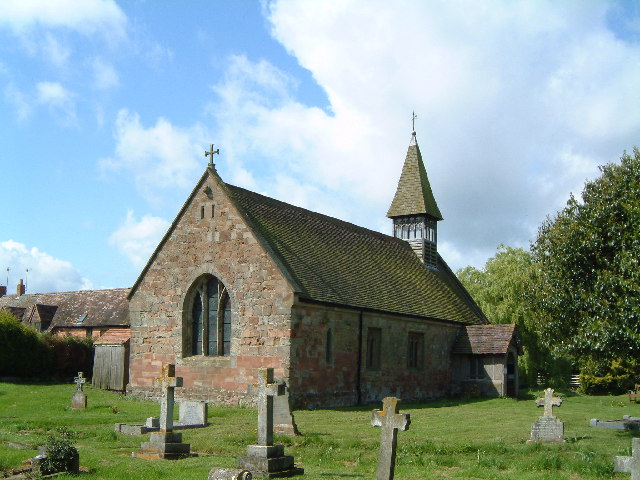
Church of St Michael and All Angels, Martin Hussingtree
The Church of St Michael and All Angels is a Grade I listed church in Martin Hussingtree, Worcestershire.The west wall is probably of 12th century origin...
Martin Hussingtree
Martin Hussingtree is a small village situated between Droitwich Spa and Worcester in the county of Worcestershire, England. It is north of another village...
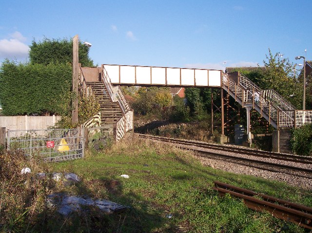
Fernhill Heath railway station
Fernhill Heath railway station was an intermediate railway station on the Oxford, Worcester and Wolverhampton Railway between Worcester (Tunnel Junction...
North Claines
North Claines is a civil parish in Wychavon district, Worcestershire, England, immediately north of the city of Worcester. It includes the settlements...
Fernhill Heath
Fernhill Heath is a village in Worcestershire, England. It is in the civil parish of North Claines in Wychavon district. Fernhill Heath is located on the...
Hawford
Hawford is a hamlet in Worcestershire, England. It falls within two parishes; North Claines and Ombersley and Doverdale in the outer suburbs of Worcester...

A449 road
The A449 is a major road in the United Kingdom. It runs north from junction 24 of the A48 road at Newport in South Wales to Stafford in Staffordshire....
Nearby Amenities
Located within 500m of 52.24789,-2.191849Have you been to Ladywood?
Leave your review of Ladywood below (or comments, questions and feedback).