Meikle Glen

Valley in Ayrshire

Scotland

Meikle Glen

Roses round the door Hillview near Glen Tig
Roses round the door Credit: Oliver Dixon

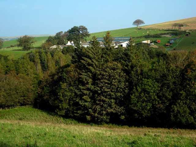
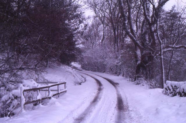
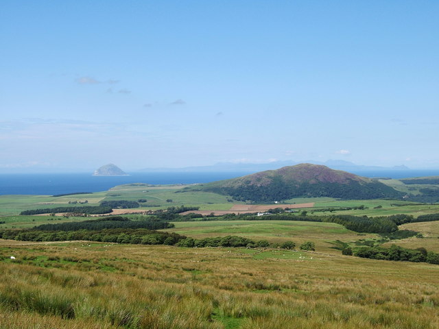
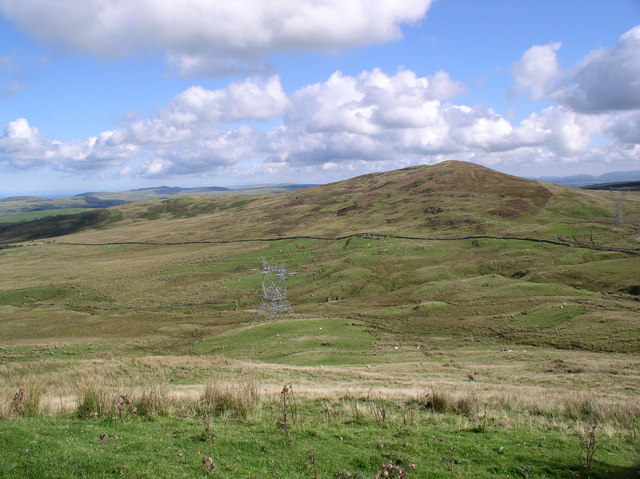
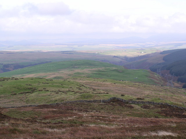
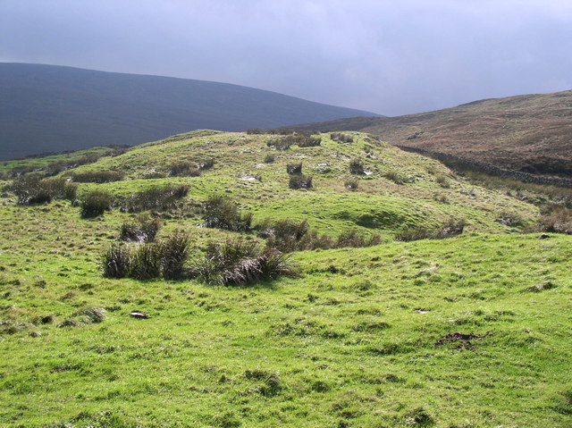
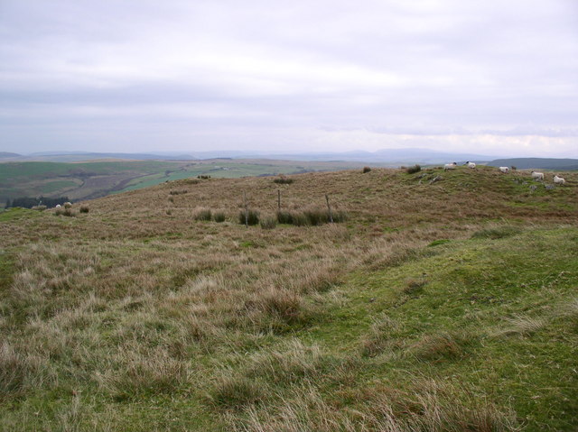
Meikle Glen is a picturesque valley located in Ayrshire, Scotland. It is situated near the town of Dalry and is known for its stunning natural beauty and diverse wildlife. The glen is characterized by rolling hills, dense forests, and a meandering river that runs through it, adding to its charm.

Covering an area of approximately 800 hectares, Meikle Glen offers a tranquil escape from the hustle and bustle of city life. Visitors can enjoy a range of outdoor activities such as hiking, cycling, and wildlife spotting. The glen is home to an array of plant and animal species, including red squirrels, deer, and various bird species, making it a haven for nature enthusiasts.

The landscape of Meikle Glen is dominated by ancient woodlands, which are a remnant of the Caledonian Forest that once covered much of Scotland. These woodlands are home to a diverse range of tree species, including oak, birch, and rowan. The glen also features several waterfalls, adding to its scenic allure.

In addition to its natural beauty, Meikle Glen has historical significance. The valley contains traces of ancient settlements, with archaeological sites suggesting human habitation in the area dating back thousands of years. These remnants provide insights into the region's rich cultural heritage.

Overall, Meikle Glen in Ayrshire is a captivating destination that offers visitors a chance to immerse themselves in nature, explore its diverse wildlife, and appreciate its historical significance.

If you have any feedback on the listing, please let us know in the comments section below.
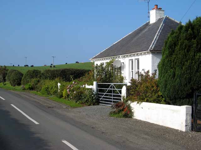
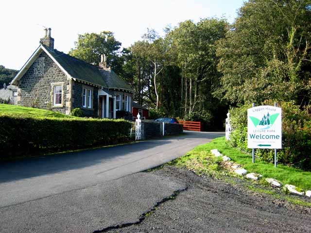
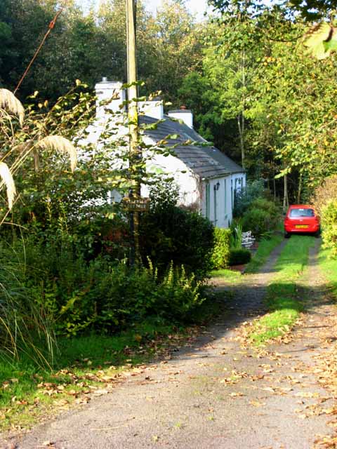
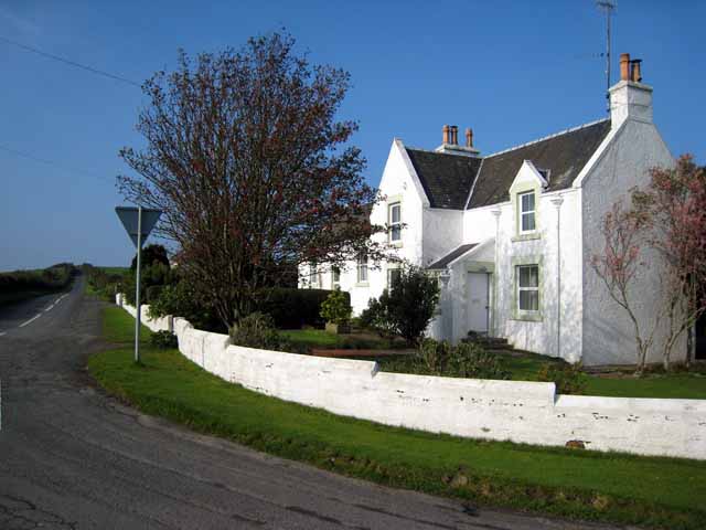
Meikle Glen Images

Images are sourced within 2km of 55.101679/-4.9277915 or Grid Reference NX1382. Thanks to Geograph Open Source API. All images are credited.

Roses round the door Hillview near Glen Tig
Roses round the door
Hillview near Glen Tig
Entrance to Laggan House Leisure Park See also the old South Lodge to the house <a href="https://www.geograph.org.uk/gridref/NX0982">NX0982</a>
Entrance to Laggan House Leisure Park
See also the old South Lodge to the house NX0982
Kirkholm Cottage By the bridge over the Water of Tig a short way above the confluence with the Stirchar.
Kirkholm Cottage
By the bridge over the Water of Tig a short way above the confluence with the Stirchar.
House near Glen Tig Hillview Cottage <a href="https://www.geograph.org.uk/photo/263045">NX1282 : Roses round the door</a> is partly hidden by the tree.
House near Glen Tig
Hillview Cottage NX1282 : Roses round the door is partly hidden by the tree.
Mains of Tig Looking across Glen Tig.
Mains of Tig
Looking across Glen Tig.
Bridge towards Balrazzie All part of a day's work.
Bridge towards Balrazzie
All part of a day's work.
Knockdhu (230 metres) near to Ballantrae and Colmonell, South Ayrshire. The hill Knockdhu taken from the footpath from Penwhirn Reservoir to Ballantrae near to Benawhirter, Smyrton. The photo has good views of the Irish Sea and clearly shows Ailsa Craig with the island of Arran in the background.
Knockdhu (230 metres) near to Ballantrae and Colmonell, South Ayrshire.
The hill Knockdhu taken from the footpath from Penwhirn Reservoir to Ballantrae near to Benawhirter, Smyrton. The photo has good views of the Irish Sea and clearly shows Ailsa Craig with the island of Arran in the background.
Big Fell Big fell with little fell on the left taken from the New Luce Trail
Big Fell
Big fell with little fell on the left taken from the New Luce Trail
View of Millmore Hill Photo taken from Balrazzie Fells
View of Millmore Hill
Photo taken from Balrazzie Fells
Leffin Donald Hill Leffin Donald in the centre with Barhallan Hill above.
Leffin Donald Hill
Leffin Donald in the centre with Barhallan Hill above.
Balkissock Hill Small Hill shown from Balrazzie Fells
Balkissock Hill
Small Hill shown from Balrazzie Fells
View of Millmore Hill Big desolate rounded hill taken from Balrazzie Fells
View of Millmore Hill
Big desolate rounded hill taken from Balrazzie Fells
Eldridge Forest Entrance to Forest from Balkissock
Eldridge Forest
Entrance to Forest from Balkissock
Balkissock Hill Sunlight at last on hill
Balkissock Hill
Sunlight at last on hill
Dunnack Burn Fast flowing hill stream
Dunnack Burn
Fast flowing hill stream
Little Fell Part of a larger group including Balrazzie Fell, Big Fell and Balkissock Hill
Little Fell
Part of a larger group including Balrazzie Fell, Big Fell and Balkissock Hill
Crailoch Burn If you want to pass you have to go through the water
Crailoch Burn
If you want to pass you have to go through the water
Crailoch Upstream Crailoch burn starts its journey on the slopes of Beneraird
Crailoch Upstream
Crailoch burn starts its journey on the slopes of Beneraird
Show me another place!

Meikle Glen is located at Grid Ref: NX1382 (Lat: 55.101679, Lng: -4.9277915)

Unitary Authority: South Ayrshire

Police Authority: Ayrshire

What 3 Words

///rollers.vitals.tolerates. Near Cairnryan, Dumfries & Galloway

Related Wikis

Heronsford

Heronsford is a village located in South Ayrshire, South-West Scotland. == About == Heronsford is a hamlet located near Ballantrae that sits along the...

Colmonell

Colmonell (Scottish Gaelic: Cill Cholmain Eala) (meaning the church of St. Colman of Lainn Eala - in Lynally, County Offaly, Ireland) is a small village...

Glenapp Castle

Glenapp Castle, formerly the family seat of the Earl of Inchcape, is now a luxury hotel and restaurant located about 1+1⁄2 miles (2.5 kilometres) southeast...

Ballantrae Windmill

The Ballantrae Windmill, on Mill Hill was a late 17th or early 18th century vaulted tower windmill, the ruins of which are located above the old raised...

Nearby Amenities

Located within 500m of 55.101679,-4.9277915
Power: pole
Lat/Long: 55.0991759/-4.9221148
Power: pole
Lat/Long: 55.0994033/-4.9232201
Power: pole
Lat/Long: 55.0996576/-4.9243771
Power: pole
Lat/Long: 55.0999133/-4.9255224
Power: pole
Lat/Long: 55.100138/-4.9265689
Power: pole
Lat/Long: 55.1003654/-4.9276766
Power: pole
Lat/Long: 55.1007233/-4.9285161
Power: pole
Lat/Long: 55.1010771/-4.9293886
Power: pole
Lat/Long: 55.1015332/-4.9305692
Power: pole
Lat/Long: 55.1019732/-4.9316322
Power: pole
Lat/Long: 55.1025625/-4.9330808
Power: pole
Lat/Long: 55.1025908/-4.9346353
Power: pole
Lat/Long: 55.0987763/-4.9251861
Power: pole
Lat/Long: 55.0981102/-4.9258093
Power: pole
Lat/Long: 55.0976043/-4.9266489
The data included in this document is from www.openstreetmap.org. The data is made available under ODbL.

Have you been to Meikle Glen?

Leave your review of Meikle Glen below (or comments, questions and feedback).