Astridge Bottom

Valley in Pembrokeshire

Wales

Astridge Bottom

Great Wedlock Farm on the B4318
Great Wedlock Farm Credit: Jennifer Luther Thomas

The requested URL returned error: 429 Too Many Requests

If you have any feedback on the listing, please let us know in the comments section below.

Astridge Bottom Images

Images are sourced within 2km of 51.686407/-4.7268878 or Grid Reference SN1102. Thanks to Geograph Open Source API. All images are credited.

Great Wedlock Farm on the B4318
Great Wedlock Farm
on the B4318
Unidentified farm machinery In the yard of Great Wedlock farm. I'm told it's likely to be for removing the liquid element from manure.
Unidentified farm machinery
In the yard of Great Wedlock farm. I'm told it's likely to be for removing the liquid element from manure.
On The Edge Of A Wood
Dinosaur Land
Dinosaur Land
Lane Near Carn Rock
Lane Near Carn Rock
Choice Of Attractions On The B4318
Great Wedlock Farm
Great Wedlock Farm
House, Great Wedlock Farm
B4318 towards Tenby
B4318 towards Tenby
North from Tenby station Towards Tenby viaduct
North from Tenby station
Towards Tenby viaduct
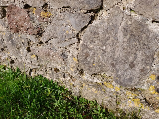
Ordnance Survey Cut Mark This OS cut mark can be found on the wall north side of St Johns Hill. It marks a point 9.394m above mean sea level.
Ordnance Survey Cut Mark
This OS cut mark can be found on the wall north side of St Johns Hill. It marks a point 9.394m above mean sea level.
Ordnance Survey Cut Mark This OS cut mark can be found on the wall west side of The Croft It marks a point 32.088m above mean sea level.
Ordnance Survey Cut Mark
This OS cut mark can be found on the wall west side of The Croft It marks a point 32.088m above mean sea level.
Ordnance Survey Cut Mark This OS cut mark can be found on the wall east side of The Croft. It marks a point 39.087m above mean sea level.
Ordnance Survey Cut Mark
This OS cut mark can be found on the wall east side of The Croft. It marks a point 39.087m above mean sea level.
Ordnance Survey Rivet This OS rivet can be found on the west angle of the old chapel. It marks a point 42.975m above mean sea level.
Ordnance Survey Rivet
This OS rivet can be found on the west angle of the old chapel. It marks a point 42.975m above mean sea level.
Ordnance Survey Cut Mark This OS cut mark can be found on the wall SW side of Slippery Back. It marks a point 45.803m above mean sea level.
Ordnance Survey Cut Mark
This OS cut mark can be found on the wall SW side of Slippery Back. It marks a point 45.803m above mean sea level.
Ordnance Survey Cut Mark This OS cut mark can be found on the wall west side of Slippery Back. It marks a point 81.543m above mean sea level.
Ordnance Survey Cut Mark
This OS cut mark can be found on the wall west side of Slippery Back. It marks a point 81.543m above mean sea level.
Ordnance Survey Rivet This OS rivet can be found on the step east side of Slippery Back. It marks a point 88.686m above mean sea level.
Ordnance Survey Rivet
This OS rivet can be found on the step east side of Slippery Back. It marks a point 88.686m above mean sea level.
Ordnance Survey Cut Mark This OS cut mark can be found on the wall NW side of Narbeth Road at Ralph Dairy. It marks a point 74.549m above mean sea level.
Ordnance Survey Cut Mark
This OS cut mark can be found on the wall NW side of Narbeth Road at Ralph Dairy. It marks a point 74.549m above mean sea level.
Show me another place!

Astridge Bottom is located at Grid Ref: SN1102 (Lat: 51.686407, Lng: -4.7268878)

Unitary Authority: Pembrokeshire

Police Authority: Dyfed Powys

What 3 Words

///tightrope.handicaps.announced. Near Tenby, Pembrokeshire

Nearby Locations

Astridge Bottom

Related Wikis

St Mary Out Liberty

St Mary Out Liberty (also known as Tenby St Mary Out Liberty) is a community in the southeast of Pembrokeshire, Wales. The community was established in...

Gumfreston

Gumfreston is a parish and small village 1 mile (1.6 km) from St. Florence and 2 miles (3.2 km) from Tenby, south Pembrokeshire, Wales. It is in the community...

New Hedges

New Hedges is a village in the community of St Mary Out Liberty, Pembrokeshire, Wales. It is midway between Saundersfoot and Tenby. The population was...

Broadfield, Pembrokeshire

Broadfield is a small village south of Saundersfoot in the parish and community of St Mary Out Liberty in Pembrokeshire, Wales. == References == ��2�...

Nearby Amenities

Located within 500m of 51.686407,-4.7268878
Power: pole
Lat/Long: 51.6857472/-4.7301292
Power: pole
Lat/Long: 51.6866851/-4.7300381
Power: pole
Lat/Long: 51.6875364/-4.7299254
Power: pole
Lat/Long: 51.6884643/-4.729802
Power: pole
Lat/Long: 51.6892624/-4.7297162
Power: pole
Lat/Long: 51.6902169/-4.7296089
Astridge Bottom
Natural: valley
Lat/Long: 51.6852112/-4.7284899
The data included in this document is from www.openstreetmap.org. The data is made available under ODbL.

Have you been to Astridge Bottom?

Leave your review of Astridge Bottom below (or comments, questions and feedback).