Brickfield Bottom

Valley in Pembrokeshire

Wales

Brickfield Bottom

Passing place on a single track road One of the few passing places along the narrow country road heading for Waterholmes and Colby Mill between the two road junctions.
Passing place on a single track road Credit: Martyn Harries

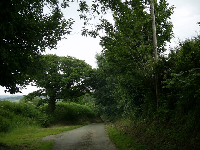
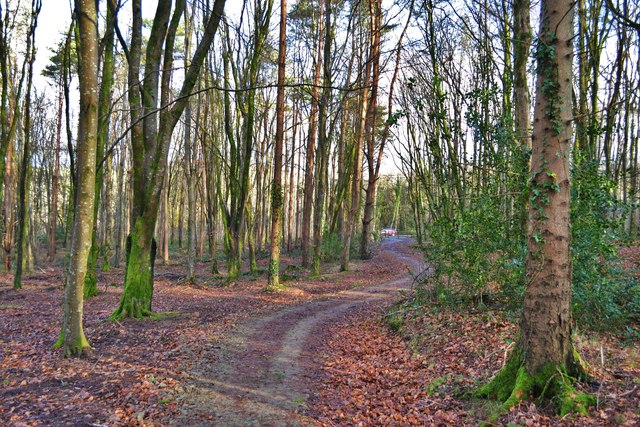
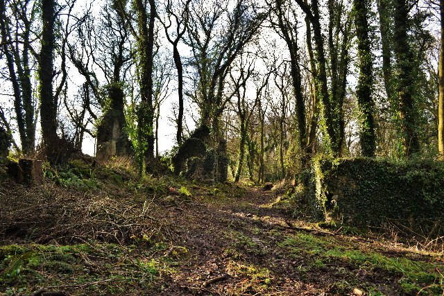
Brickfield Bottom is a picturesque valley located in Pembrokeshire, Wales. Situated in the southern part of the county, this charming valley is surrounded by rolling hills and lush greenery, making it a popular destination for nature lovers and hikers alike.

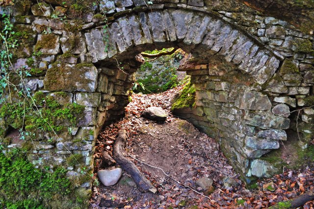
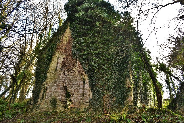
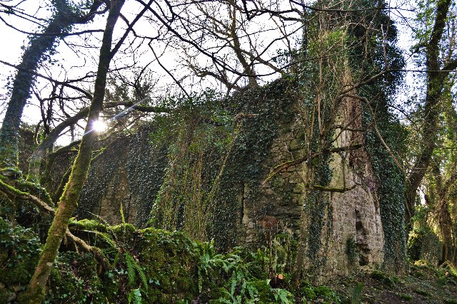
The valley gets its name from the presence of several brick kilns that were once active in the area. These kilns were used to produce bricks during the 19th and early 20th centuries, contributing to the local economy and development.

Today, Brickfield Bottom is known for its tranquil atmosphere and stunning natural beauty. The valley is home to a diverse range of plant and animal species, including rare birds and wildflowers. Hikers can explore the numerous walking trails that wind through the valley, offering breathtaking views of the surrounding countryside.

The valley is also dotted with charming cottages and farmhouses, adding to its rustic charm. Visitors can enjoy a peaceful retreat in one of these accommodations, immersing themselves in the serenity of the countryside.

In addition to its natural attractions, Brickfield Bottom is also close to several notable landmarks. The nearby town of Pembroke is home to the magnificent Pembroke Castle, a medieval fortress that has played a significant role in Welsh history.

Overall, Brickfield Bottom in Pembrokeshire is a hidden gem, offering visitors a chance to escape the hustle and bustle of city life and immerse themselves in the beauty of nature.

If you have any feedback on the listing, please let us know in the comments section below.

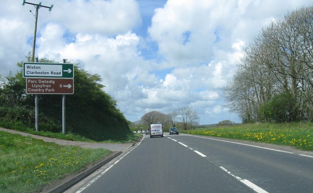
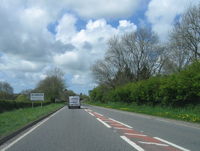
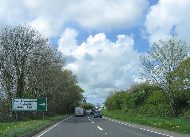
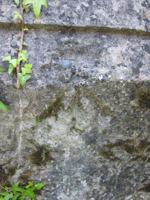
Brickfield Bottom Images

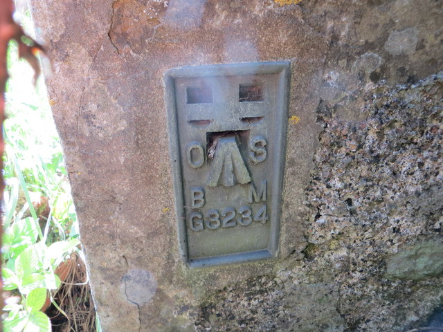
Images are sourced within 2km of 51.793559/-4.84877 or Grid Reference SN0314. Thanks to Geograph Open Source API. All images are credited.

Passing place on a single track road One of the few passing places along the narrow country road heading for Waterholmes and Colby Mill between the two road junctions.
Passing place on a single track road
One of the few passing places along the narrow country road heading for Waterholmes and Colby Mill between the two road junctions.
Slebech Church This church is now deserted and derelict. Surrounded by security fencing to prevent access. The graveyard is reachable though.
Slebech Church
This church is now deserted and derelict. Surrounded by security fencing to prevent access. The graveyard is reachable though.
Ordnance Survey Flush Bracket G3234 This can be found on the wall of a house at Slebech.
For more detail see : <span class="nowrap"><a title="http://www.bench-marks.org.uk/log?bm_key=11150" rel="nofollow ugc noopener" href="http://www.bench-marks.org.uk/log?bm_key=11150">Link</a><img style="margin-left:2px;" alt="External link" title="External link - shift click to open in new window" src="https://s1.geograph.org.uk/img/external.png" width="10" height="10"/></span>
Ordnance Survey Flush Bracket G3234
This can be found on the wall of a house at Slebech. For more detail see : LinkExternal link
A40 westbound
A40 westbound
A40 westbound
A40 westbound
A40 westbound
A40 westbound
Entrance to Slebech, A40 westbound
A40 westbound
A40 westbound
A40 westbound
A40 westbound
Ordnance Survey Flush Bracket (G3234) This OS Flush Bracket can be found on Thorn Bush House to the north of the road. It marks a point 69.032m above mean sea level.
Ordnance Survey Flush Bracket (G3234)
This OS Flush Bracket can be found on Thorn Bush House to the north of the road. It marks a point 69.032m above mean sea level.
Ordnance Survey Rivet This OS rivet can be found on a north facing buttress of St John the Baptist Church. It marks a point 70.997m above mean sea level.
Ordnance Survey Rivet
This OS rivet can be found on a north facing buttress of St John the Baptist Church. It marks a point 70.997m above mean sea level.
Downriver at Minwear Woods Slebech Park is situated across the river beyond the reed beds
Downriver at Minwear Woods
Slebech Park is situated across the river beyond the reed beds
Minwear Woods  Looking east to the parking area. New paths with solid hardcore make for a dry and clean walk for the first half mile or so
Minwear Woods
Looking east to the parking area. New paths with solid hardcore make for a dry and clean walk for the first half mile or so
Lime Kilns in Minwear Woods  In addition to the archaeological sites of Castell Coch and the Sisters’ House there are three iron age hillforts, limekilns on the shore of the waterway, and the sites of an iron furnace and iron forge. The latter two sites are of great importance - Mynne’s furnace in Canaston Wood remains the only known blast furnace from this crucial period in the development of the Welsh iron working industry, and woodland in the 17th century and 18th century was managed specifically to produce charcoal for the furnace and forge. Ref Dyfed Archaeological Trust
Lime Kilns in Minwear Woods
In addition to the archaeological sites of Castell Coch and the Sisters’ House there are three iron age hillforts, limekilns on the shore of the waterway, and the sites of an iron furnace and iron forge. The latter two sites are of great importance - Mynne’s furnace in Canaston Wood remains the only known blast furnace from this crucial period in the development of the Welsh iron working industry, and woodland in the 17th century and 18th century was managed specifically to produce charcoal for the furnace and forge. Ref Dyfed Archaeological Trust
Rustic Woodland Picnic Area Resourcefully made from some pretty big trees. A lovely place for a picnic especially as a viewpoint has been cleared to the river
Rustic Woodland Picnic Area
Resourcefully made from some pretty big trees. A lovely place for a picnic especially as a viewpoint has been cleared to the river
Sisters' House at Minwear The Sisters' House is a collection of ruined buildings on the south bank of the Eastern Cleddau, Pembrokeshire, opposite the site of the commandery of the Hospital of St John of Jerusalem at Slebech. The Sisters' House formed part of the manor of Minwear, which was given to the order of the Hospital at Slebech in the mid-twelfth century. It is first mentioned in a document of 1546, when it was named as part of the Slebech estates sold after the dissolution of the monasteries in England and Wales. Scholars have differed in their interpretation of the buildings at the Sisters' House, variously describing the main building as a barn or as a pilgrim hospice
Sisters' House at Minwear
The Sisters' House is a collection of ruined buildings on the south bank of the Eastern Cleddau, Pembrokeshire, opposite the site of the commandery of the Hospital of St John of Jerusalem at Slebech. The Sisters' House formed part of the manor of Minwear, which was given to the order of the Hospital at Slebech in the mid-twelfth century. It is first mentioned in a document of 1546, when it was named as part of the Slebech estates sold after the dissolution of the monasteries in England and Wales. Scholars have differed in their interpretation of the buildings at the Sisters' House, variously describing the main building as a barn or as a pilgrim hospice
Sisters' House The Sisters' House, a collection of ruined buildings on the south bank of the Eastern Cleddau, Pembrokeshire, opposite the site of the commandery of the Hospital of St John of Jerusalem at Slebech. The Sisters' House formed part of the manor of Minwear, which was given to the order of the Hospital at Slebech in the mid-twelfth century. It is first mentioned in a document of 1546, when it was named as part of the Slebech estates sold after the dissolution of the monasteries in England and Wales. Scholars have differed in their interpretation of the buildings at the Sisters' House, variously describing the main building as a barn or as a pilgrim hospice.
Sisters' House
The Sisters' House, a collection of ruined buildings on the south bank of the Eastern Cleddau, Pembrokeshire, opposite the site of the commandery of the Hospital of St John of Jerusalem at Slebech. The Sisters' House formed part of the manor of Minwear, which was given to the order of the Hospital at Slebech in the mid-twelfth century. It is first mentioned in a document of 1546, when it was named as part of the Slebech estates sold after the dissolution of the monasteries in England and Wales. Scholars have differed in their interpretation of the buildings at the Sisters' House, variously describing the main building as a barn or as a pilgrim hospice.
Show me another place!

Brickfield Bottom is located at Grid Ref: SN0314 (Lat: 51.793559, Lng: -4.84877)

Unitary Authority: Pembrokeshire

Police Authority: Dyfed Powys

What 3 Words

///yesterday.dent.sniff. Near Wiston, Pembrokeshire

Related Wikis

Minwear Wood

Minwear Wood is a Site of Special Scientific Interest (or SSSI) in Pembrokeshire, South Wales. It has been designated as a Site of Special Scientific Interest...

Uzmaston, Boulston and Slebech

Uzmaston, Boulston and Slebech is a community in Pembrokeshire, Wales, which includes the villages of Uzmaston, Boulston and Slebech, and the Haverfordwest...

Slebech

Slebech was a community (prior to 1974, a civil parish) in Pembrokeshire, Wales, which is now part of the combined community of Uzmaston and Boulston and...

Minwear

Minwear is a former parish and village in the community of Martletwy, in the county of Pembrokeshire, Wales, on the Eastern Cleddau river, 4+1⁄2 miles...

Have you been to Brickfield Bottom?

Leave your review of Brickfield Bottom below (or comments, questions and feedback).