Ladbroke
Settlement in Warwickshire Stratford-on-Avon
England
Ladbroke

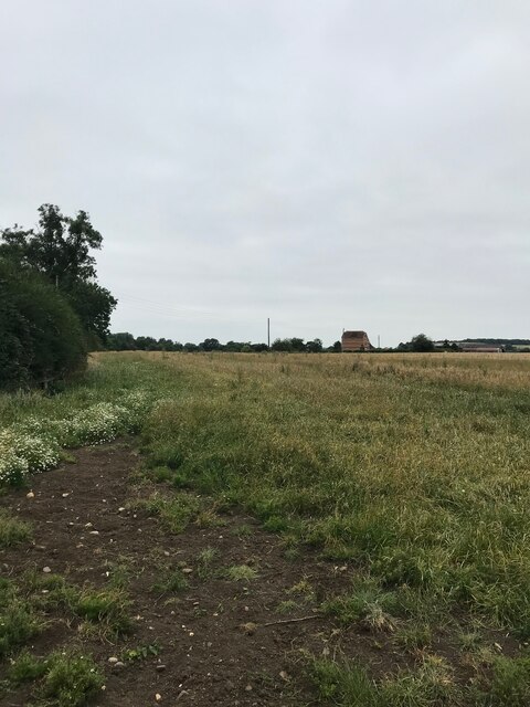
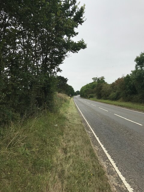
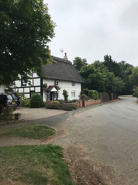
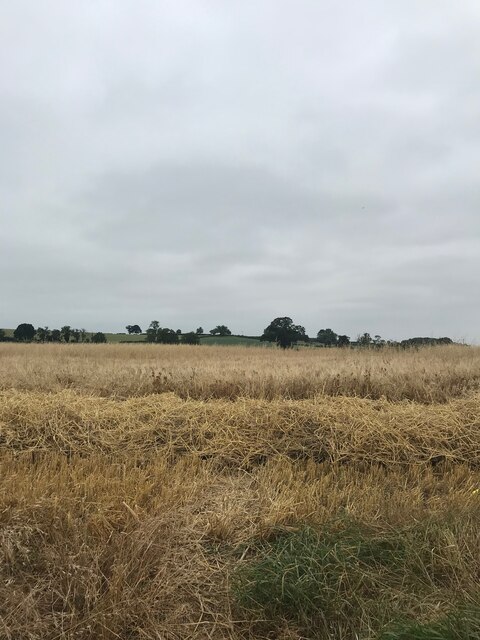
Ladbroke is a small village located in the county of Warwickshire, England. Situated approximately four miles southeast of the town of Southam, Ladbroke is nestled in the picturesque countryside of the Cotswolds. The village is surrounded by rolling hills, lush green fields, and charming rural landscapes, making it an idyllic destination for nature lovers and those seeking a peaceful retreat.
Ladbroke is steeped in history, with evidence of human settlement dating back to the Roman times. The village features several notable historic landmarks, including the Grade I listed St. Peter's Church, which dates back to the 12th century. The church boasts an impressive Norman tower and stained glass windows, making it a popular attraction for visitors interested in architectural heritage.
The village itself is relatively small, with a close-knit community of approximately 400 residents. It offers a tranquil and friendly atmosphere, with a range of amenities to cater to the needs of its residents. These amenities include a village hall, a primary school, a post office, and a pub, providing essential services and a hub for social gatherings.
Ladbroke is also well-connected to nearby towns and cities, with good transportation links. The M40 motorway is easily accessible, providing convenient travel options for both residents and visitors. Additionally, the village is within close proximity to the larger towns of Leamington Spa and Rugby, offering a wider range of amenities and recreational activities.
Overall, Ladbroke is a charming and historic village, surrounded by stunning countryside and offering a tranquil lifestyle. Its rich history, picturesque landscapes, and strong sense of community make it an attractive place to live or visit in Warwickshire.
If you have any feedback on the listing, please let us know in the comments section below.
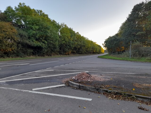
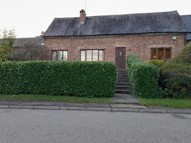
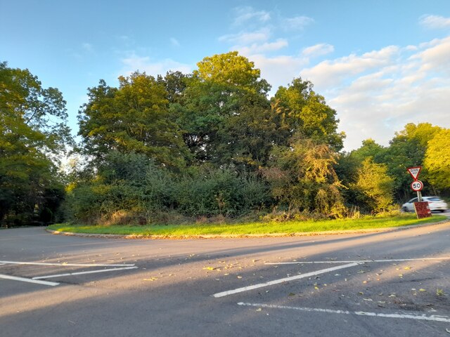
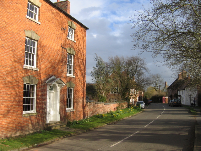
Ladbroke Images
Images are sourced within 2km of 52.225901/-1.395676 or Grid Reference SP4158. Thanks to Geograph Open Source API. All images are credited.


Ladbroke is located at Grid Ref: SP4158 (Lat: 52.225901, Lng: -1.395676)
Administrative County: Warwickshire
District: Stratford-on-Avon
Police Authority: Warwickshire
What 3 Words
///kite.producers.poster. Near Southam, Warwickshire
Nearby Locations
Related Wikis

Ladbroke Hall
Ladbroke Hall is an 18th-century English country house at Ladbroke, near Southam, Warwickshire. It is a Grade II listed building and is now divided into...
Ladbroke, Southam
Ladbroke is a village and civil parish about 2 miles (3.2 km) south of Southam in Warwickshire. The population of the civil parish at the 2001 Census was...

A423 road
The A423 road is a primary A road in England in two sections. The main section leads from central Banbury to the A45 near Coventry. == Route == It starts...
Southam United F.C.
Southam United Football Club is a football club based in Southam, Warwickshire. They are members of the Hellenic League Division One and play at Bobby...

Southam Road and Harbury railway station
Southam Road and Harbury railway station was a railway station, located 1 mile (1.6 km) east of Harbury, and 2.5 miles (4.0 km) south-west of Southam,...

Bishop's Itchington
Bishop's Itchington is a village and civil parish in the Stratford-on-Avon district of Warwickshire, England. It is about 3 miles (5 km) south-southwest...

Kenilworth and Southam (UK Parliament constituency)
Kenilworth and Southam is a constituency in Warwickshire, England represented in the House of Commons of the UK Parliament since 2010 by Jeremy Wright...
Southam Rural District
Southam Rural District was a rural district in the county of Warwickshire, England. It was created in 1894 and consisted of 26 parishes, a further six...
Nearby Amenities
Located within 500m of 52.225901,-1.395676Have you been to Ladbroke?
Leave your review of Ladbroke below (or comments, questions and feedback).