Barnsley
Settlement in Yorkshire
England
Barnsley

Barnsley is a historic town located in South Yorkshire, England. It lies on the River Dearne, approximately 11 miles north of Sheffield and 17 miles south of Leeds. With a population of around 91,000 people, Barnsley is the largest town in the Metropolitan Borough of Barnsley.
The town has a rich industrial heritage, having been a prominent coal mining and glassmaking center during the 19th and 20th centuries. Today, Barnsley has transformed into a diverse and vibrant community with a mix of traditional industries and modern developments.
The town is known for its stunning Victorian architecture, particularly the iconic Town Hall, which stands as a symbol of Barnsley's proud history. Other notable landmarks include the Cooper Gallery, an art gallery housed in a former library, and the impressive Elsecar Heritage Centre, a restored industrial complex that offers a glimpse into the area's industrial past.
Barnsley is also home to numerous parks and green spaces, such as Locke Park and Cannon Hall Country Park, providing residents and visitors with ample opportunities for outdoor activities and relaxation. The town's cultural scene thrives with various annual events, including the Barnsley Festival of Music, Drama, and Dance.
In terms of transportation, Barnsley benefits from excellent connectivity. The town is served by several major roads, including the M1 motorway, which provides easy access to nearby cities. Additionally, Barnsley Interchange offers extensive bus and train services, connecting the town to various destinations across the region.
Overall, Barnsley is a town that combines its industrial heritage with modern amenities, making it an appealing place to live, work, and visit in South Yorkshire.
If you have any feedback on the listing, please let us know in the comments section below.
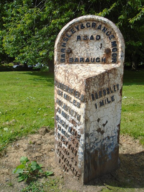
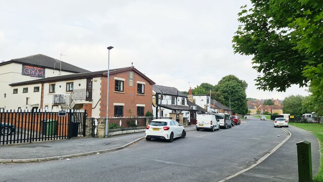
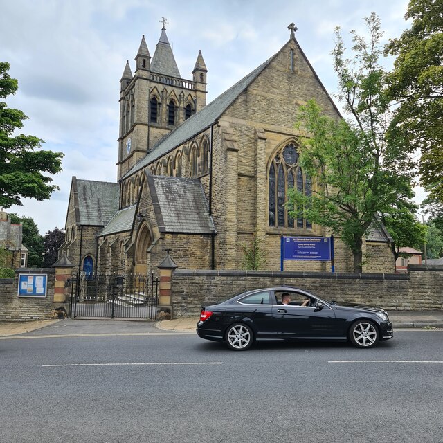
Barnsley Images
Images are sourced within 2km of 53.553523/-1.4825931 or Grid Reference SE3406. Thanks to Geograph Open Source API. All images are credited.


Barnsley is located at Grid Ref: SE3406 (Lat: 53.553523, Lng: -1.4825931)
Division: West Riding
Unitary Authority: Barnsley
Police Authority: South Yorkshire
What 3 Words
///snack.scores.faces. Near Barnsley, South Yorkshire
Nearby Locations
Related Wikis
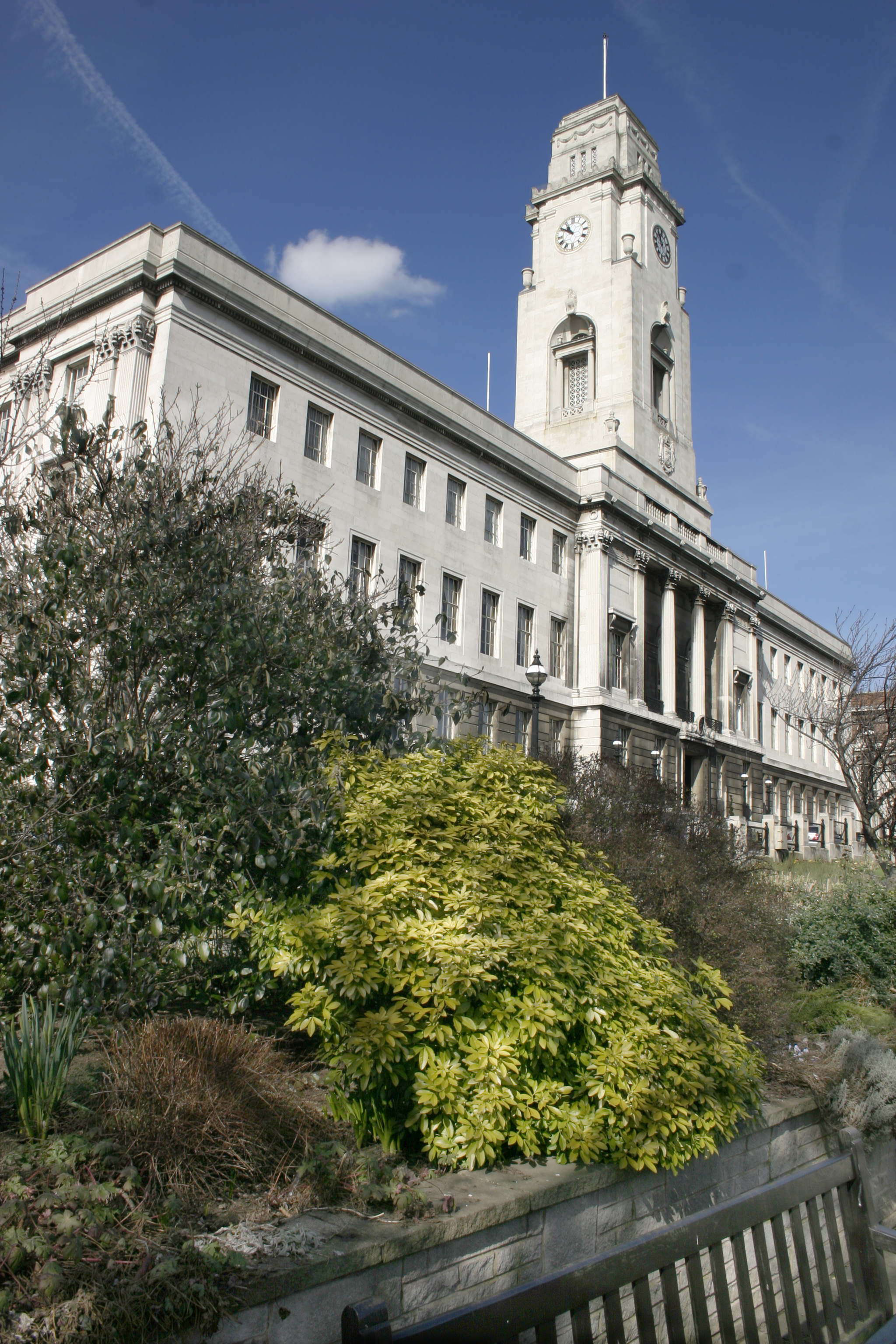
Barnsley Town Hall
Barnsley Town Hall is the seat of local government in the Metropolitan Borough of Barnsley, South Yorkshire, England. It is a Grade II listed building...
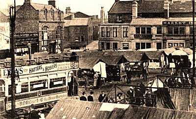
Barnsley and District Tramway
The Barnsley and District Electric Traction Co was an electric tramway network serving the town of Barnsley, South Yorkshire. The tramway was a subsidiary...

Barnsley Rural District
Barnsley was a rural district in the West Riding of Yorkshire, England from 1894 to 1938. It encompassed the surrounding area but did not include the town...
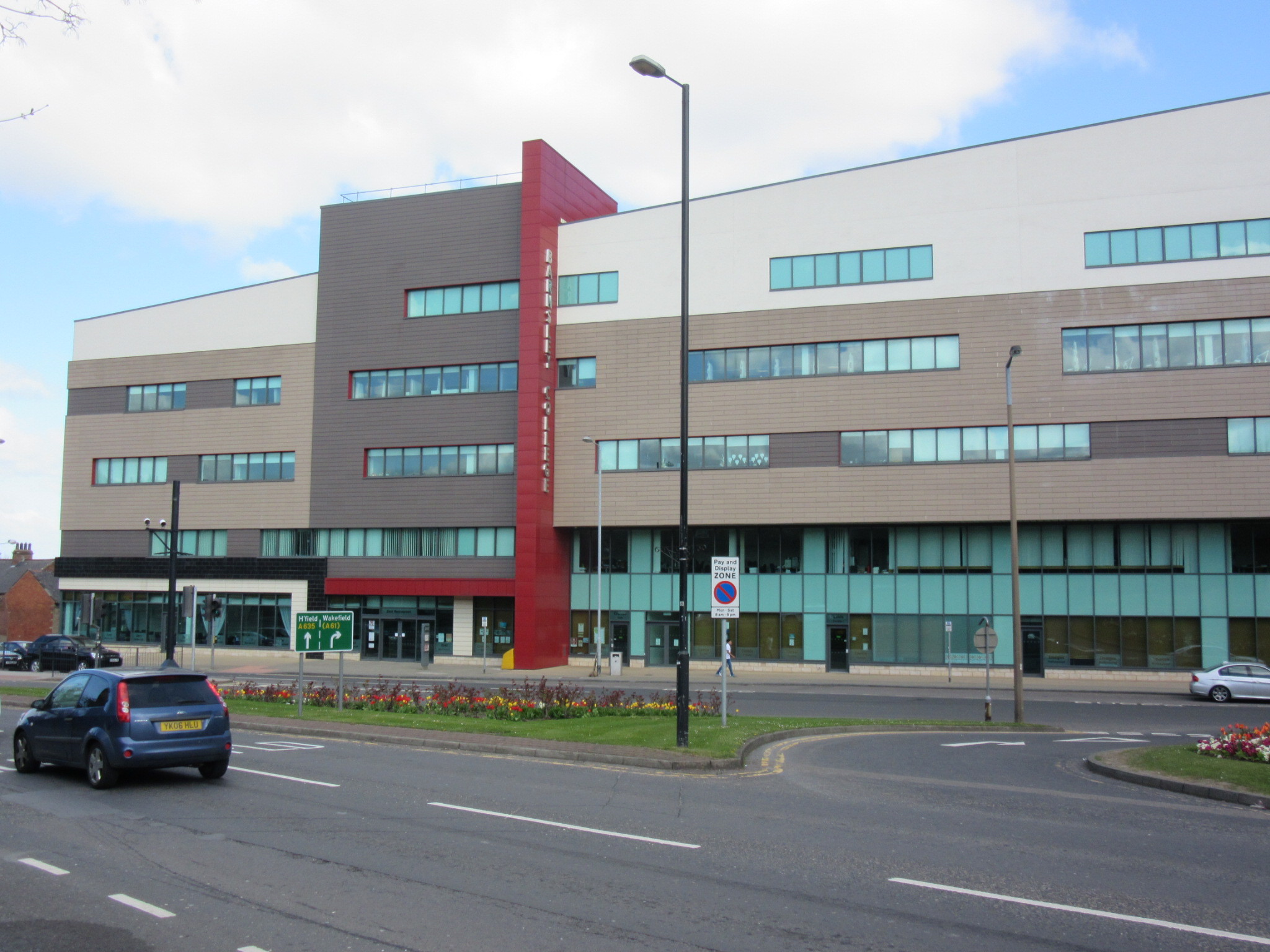
Barnsley College
Barnsley College is a further education college just outside the town centre of Barnsley, England. It has several campuses, including the SciTech Digital...
Nearby Amenities
Located within 500m of 53.553523,-1.4825931Have you been to Barnsley?
Leave your review of Barnsley below (or comments, questions and feedback).