Ballymichael Glen

Valley in Buteshire

Scotland

Ballymichael Glen

Old Milestone by the B880, The String, Kilmory Parish Arran by the B880, in parish of Kilmory (Arran District), base of bank under trees, East side of road.

Inscription reads:-
7
(To Brodick Old Quay)
Carved bench mark on right face.

Surveyed

Milestone Society National ID: AYN_ARRS07.
Old Milestone by the B880, The String, Kilmory Parish Credit: Milestone Society

Ballymichael Glen is a picturesque valley located in the county of Buteshire, Scotland. Nestled between the rolling hills of the region, this glen is known for its stunning natural beauty and tranquil ambiance. The name "Ballymichael" is derived from the Gaelic words "baile" meaning farm or settlement, and "Mhìcheil" referring to Saint Michael, indicating the area's historical significance.

The glen is characterized by its lush greenery, with a variety of plant life adorning the landscape. Ancient woodland can be found within the glen, housing a diverse range of flora and fauna. The area is a haven for nature enthusiasts and hikers, offering a network of walking trails that wind through the valley and provide breathtaking views of the surrounding countryside.

Ballymichael Glen is also home to a small river that meanders through the valley, adding to the idyllic atmosphere. The river is a popular spot for fishing, attracting anglers from near and far who seek to catch salmon and trout.

Historically, the glen has been inhabited for centuries, with evidence of settlements and farming activities dating back to ancient times. Ruins of old stone cottages and farmsteads can still be seen, serving as a reminder of the area's rich heritage.

Visitors to Ballymichael Glen can enjoy the serenity of the countryside, explore the walking trails, and immerse themselves in the natural beauty of the Scottish landscape. Whether it's a leisurely stroll or an adventure-filled hike, this glen offers a peaceful retreat for those seeking solace in nature.

If you have any feedback on the listing, please let us know in the comments section below.

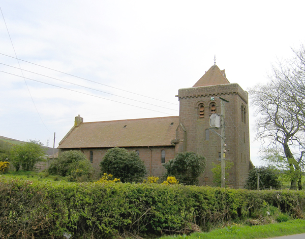
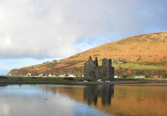
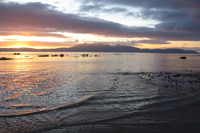
Ballymichael Glen Images

Images are sourced within 2km of 55.537716/-5.2615499 or Grid Reference NR9431. Thanks to Geograph Open Source API. All images are credited.

Old Milestone by the B880, The String, Kilmory Parish Arran by the B880, in parish of Kilmory (Arran District), base of bank under trees, East side of road.

Inscription reads:-
7
(To Brodick Old Quay)
Carved bench mark on right face.

Surveyed

Milestone Society National ID: AYN_ARRS07.
Old Milestone by the B880, The String, Kilmory Parish
Arran by the B880, in parish of Kilmory (Arran District), base of bank under trees, East side of road. Inscription reads:- 7 (To Brodick Old Quay) Carved bench mark on right face. Surveyed Milestone Society National ID: AYN_ARRS07.
Standing stone at Clauchan water Listed on the 1:25,000 OS map is a standing stone, there was also no image of it online. Naturally, that piqued my interest enough to divert from the path and sludge down the slope through bracken and post-harvest forestry plantation.

Information online states it might not be of antiquity, due to its lack of appearance on the 1st edition map. The scratches and cuts on my legs make me hope to believe otherwise.
Standing stone at Clauchan water
Listed on the 1:25,000 OS map is a standing stone, there was also no image of it online. Naturally, that piqued my interest enough to divert from the path and sludge down the slope through bracken and post-harvest forestry plantation. Information online states it might not be of antiquity, due to its lack of appearance on the 1st edition map. The scratches and cuts on my legs make me hope to believe otherwise.
Clauchan water Clauchan water looking to the west, taken from the standing stone marked on the map.
Clauchan water
Clauchan water looking to the west, taken from the standing stone marked on the map.
View of Goatfell from the String Road The String Road (or The String) is the main cross-island route on Arran. The 10-mile road bisects Arran from the island capital of Brodick on the east coast to Blackwaterfoot on the west coast, rising to 233m (768 feet) as it climbs over Gleann an t-Suidhe. It is now designated as the B880.
View of Goatfell from the String Road
The String Road (or The String) is the main cross-island route on Arran. The 10-mile road bisects Arran from the island capital of Brodick on the east coast to Blackwaterfoot on the west coast, rising to 233m (768 feet) as it climbs over Gleann an t-Suidhe. It is now designated as the B880.
B880 String Road near Ballymichael The String Road (or The String) is the main cross-island route on Arran. The 10-mile road bisects Arran from the island capital of Brodick on the east coast to Blackwaterfoot on the west coast, rising to 233m (768 feet) as it climbs over Gleann an t-Suidhe. It is now designated as the B880.
B880 String Road near Ballymichael
The String Road (or The String) is the main cross-island route on Arran. The 10-mile road bisects Arran from the island capital of Brodick on the east coast to Blackwaterfoot on the west coast, rising to 233m (768 feet) as it climbs over Gleann an t-Suidhe. It is now designated as the B880.
B880 String Road, Balmichael The String Road (or The String) is the main cross-island route on Arran. The 10-mile road bisects Arran from the island capital of Brodick on the east coast to Blackwaterfoot on the west coast, rising to 233m (768 feet) as it climbs over Gleann an t-Suidhe. It is now designated as the B880.
B880 String Road, Balmichael
The String Road (or The String) is the main cross-island route on Arran. The 10-mile road bisects Arran from the island capital of Brodick on the east coast to Blackwaterfoot on the west coast, rising to 233m (768 feet) as it climbs over Gleann an t-Suidhe. It is now designated as the B880.
The String Road north of Balmichael The String Road (or The String) is the main cross-island route on Arran. The 10-mile road bisects Arran from the island capital of Brodick on the east coast to Blackwaterfoot on the west coast, rising to 233m (768 feet) as it climbs over Gleann an t-Suidhe. It is now designated as the B880.
The String Road north of Balmichael
The String Road (or The String) is the main cross-island route on Arran. The 10-mile road bisects Arran from the island capital of Brodick on the east coast to Blackwaterfoot on the west coast, rising to 233m (768 feet) as it climbs over Gleann an t-Suidhe. It is now designated as the B880.
The String Road (B880), Isle of Arran The String Road (or The String) is the main cross-island route on Arran. The 10-mile road bisects Arran from the island capital of Brodick on the east coast to Blackwaterfoot on the west coast, rising to 233m (768 feet) as it climbs over Gleann an t-Suidhe. It is now designated as the B880.
The String Road (B880), Isle of Arran
The String Road (or The String) is the main cross-island route on Arran. The 10-mile road bisects Arran from the island capital of Brodick on the east coast to Blackwaterfoot on the west coast, rising to 233m (768 feet) as it climbs over Gleann an t-Suidhe. It is now designated as the B880.
Water Treatment Works at Balmichael The sign says that this Scottish Water plant is "a major investment to provide clearer, fresher drinking water"  The plant treats water from boreholes.  Note that the OS 10,000 mapping calls this a "Sewage Works" which must be in error?
Water Treatment Works at Balmichael
The sign says that this Scottish Water plant is "a major investment to provide clearer, fresher drinking water" The plant treats water from boreholes. Note that the OS 10,000 mapping calls this a "Sewage Works" which must be in error?
Old milestone On the east side of The String, 7 miles from Brodick, this stone is on the bank under some trees.  It has a bench mark on the front right-hand side.  In 2019 the 7 on the top was not very clear due to weathering.
Old milestone
On the east side of The String, 7 miles from Brodick, this stone is on the bank under some trees. It has a bench mark on the front right-hand side. In 2019 the 7 on the top was not very clear due to weathering.
Hillside slump erosion, Clauchan Glen, Arran Hillside slump erosion on the steep valley side of Clauchan Glen, south of Beinn Bhreac in central Arran.  The erosion was caused by downpours in early to mid July 2005. Note the human, which can be used for scale.
Hillside slump erosion, Clauchan Glen, Arran
Hillside slump erosion on the steep valley side of Clauchan Glen, south of Beinn Bhreac in central Arran. The erosion was caused by downpours in early to mid July 2005. Note the human, which can be used for scale.
Wet sheep The building in the (misty) background is Dereneneach.  The hill is Binnean na h-Uaimh.
Wet sheep
The building in the (misty) background is Dereneneach. The hill is Binnean na h-Uaimh.
Trig point at summit of Ard Bheinn Goat Fell and the hills of North Arran seen in the distance from Ard Bheinn summit
Trig point at summit of Ard Bheinn
Goat Fell and the hills of North Arran seen in the distance from Ard Bheinn summit
River in Ballymichael Glen
Bracken-covered slope, N side Ard Bheinn
Binnein na h-Uaimh
Binnein na h-Uaimh
Ard Bheinn Arran's volcano. Doesn't look like much, but a real complex of volcanic rocks from 60million years ago.
Ard Bheinn
Arran's volcano. Doesn't look like much, but a real complex of volcanic rocks from 60million years ago.
Balmichael Water Treatment and Pumping Station
Show me another place!

Ballymichael Glen is located at Grid Ref: NR9431 (Lat: 55.537716, Lng: -5.2615499)

Unitary Authority: North Ayrshire

Police Authority: Ayrshire

What 3 Words

///jaundice.barks.trail. Near Blackwaterfoot, North Ayrshire

Nearby Locations

Ballymichael Glen

Related Wikis

Àrd Bheinn

Àrd Bheinn (meaning "high mountain") is a small mountain of 1678 feet on central Isle of Arran in western Scotland.

Machrie Moor Stone Circles

Machrie Moor Stone Circles is the collective name for six stone circles visible on Machrie Moor near the settlement of Machrie on the Isle of Arran, Scotland...

Shiskine

Shiskine (Scottish Gaelic: An t-Seasgann) is a small village on the Isle of Arran in the Firth of Clyde, Scotland. The village is within the parish of...

Arran Coastal Way

The Arran Coastal Way is a 107 kilometre long-distance trail that goes around the coastline of Arran in Scotland. As the route is circular, following...

Torbeg

Torbeg (Scottish Gaelic: An Tòrr Beag) is a village on the Isle of Arran in the Firth of Clyde, Scotland. == References ==

Moss Farm Road Stone Circle

Moss Farm Road Stone Circle (or Machrie Moor 10) is the remains of a Bronze Age burial cairn, surrounded by a circle of stones. It is located near Machrie...

Isle of Arran

The Isle of Arran (; Scottish Gaelic: Eilean Arainn) or simply Arran is an island off the west coast of Scotland. It is the largest island in the Firth...

Auchagallon Stone Circle

Auchagallon Stone Circle or Auchengallon cairn is the remains of a Neolithic or Bronze Age burial cairn, surrounded by a circle of fifteen stones. It is...

Have you been to Ballymichael Glen?

Leave your review of Ballymichael Glen below (or comments, questions and feedback).