Knypersley

Settlement in Staffordshire Staffordshire Moorlands

England

Knypersley

The boundary comes into view The wall visible in the distance is the northern boundary of Greenway Bank Country Park. It is a lovely walk through the trees to here, well worth making a detour from the lakeside walk.
The boundary comes into view Credit: Jonathan Kington

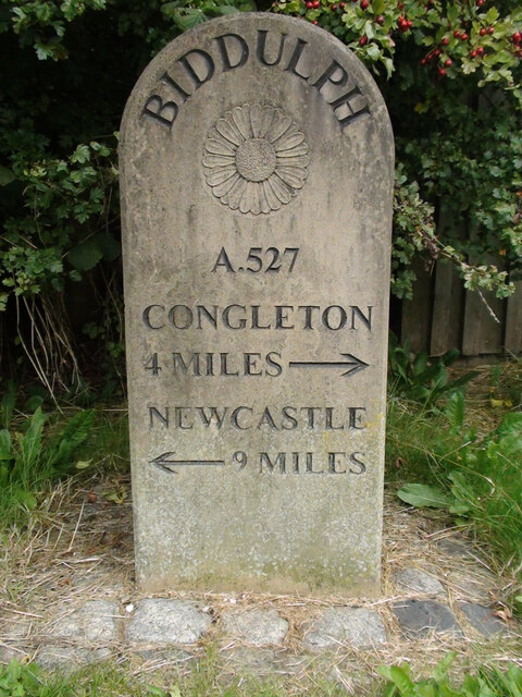
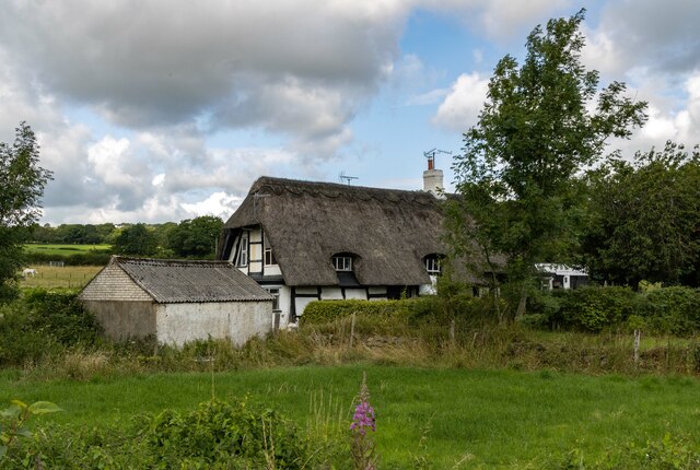
Knypersley is a small village located in Staffordshire, England. Situated on the outskirts of the town of Biddulph, this rural settlement is nestled within the beautiful Staffordshire Moorlands. The village is known for its scenic surroundings, featuring rolling hills, lush green fields, and charming countryside views.

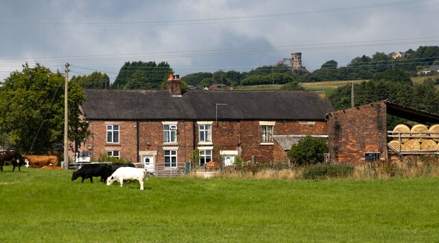
Historically, Knypersley was an agricultural community, with farming being the primary occupation of its residents. However, over the years, the village has evolved into a residential area, attracting a mix of families, professionals, and retirees seeking a peaceful and picturesque place to call home.

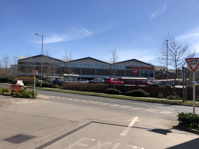
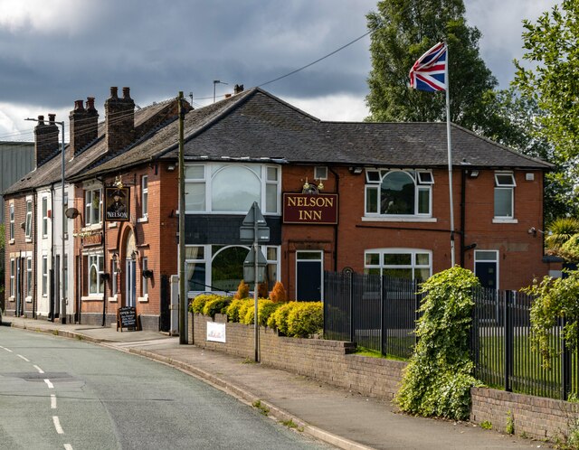
The village is home to a number of amenities, including a primary school, a post office, a convenience store, and a pub, catering to the needs of its local population. Additionally, Knypersley is well-connected to nearby towns and cities, with regular bus services providing easy access to Biddulph and Stoke-on-Trent.

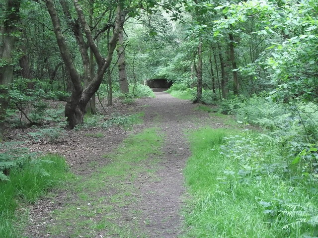
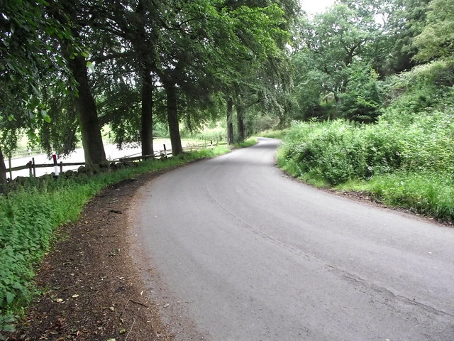
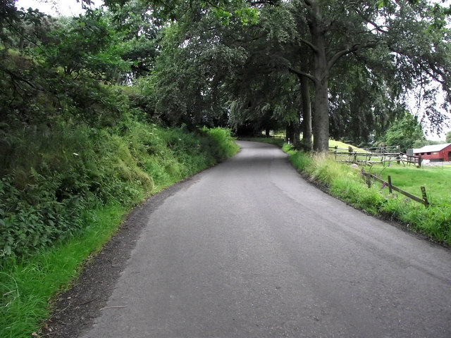
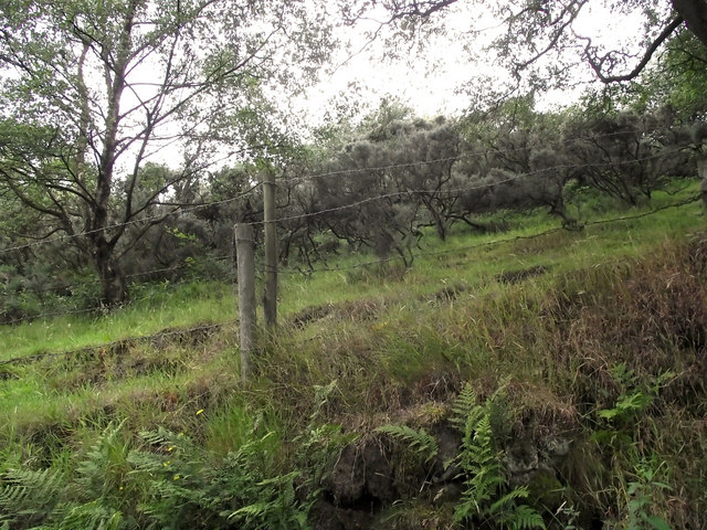
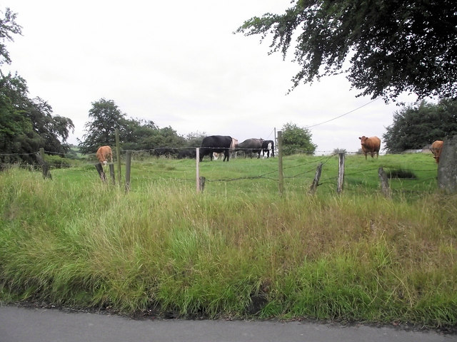
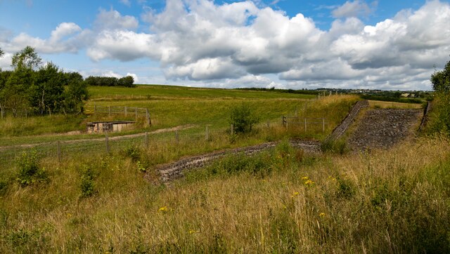
Nature lovers and outdoor enthusiasts are drawn to Knypersley due to its proximity to several natural attractions. The nearby Knypersley Reservoir offers picturesque walking trails and is a popular spot for fishing and bird-watching. The village is also surrounded by beautiful countryside, providing ample opportunities for hiking, cycling, and exploring the great outdoors.

Overall, Knypersley exudes a warm and welcoming atmosphere, with its idyllic setting and close-knit community. It offers a tranquil retreat from the hustle and bustle of larger towns and cities, making it a desirable place to live for those seeking a peaceful and scenic lifestyle.

If you have any feedback on the listing, please let us know in the comments section below.

Knypersley Images

Images are sourced within 2km of 53.104105/-2.178311 or Grid Reference SJ8856. Thanks to Geograph Open Source API. All images are credited.

The boundary comes into view The wall visible in the distance is the northern boundary of Greenway Bank Country Park. It is a lovely walk through the trees to here, well worth making a detour from the lakeside walk.
The boundary comes into view
The wall visible in the distance is the northern boundary of Greenway Bank Country Park. It is a lovely walk through the trees to here, well worth making a detour from the lakeside walk.
Leaving the park The gap in the wall is the exit from Greenway Bank Country Park, from here a public footpath leads through the woods where it divides with one path going to Knypersley Park and the other to Lion's Paw.
Leaving the park
The gap in the wall is the exit from Greenway Bank Country Park, from here a public footpath leads through the woods where it divides with one path going to Knypersley Park and the other to Lion's Paw.
Entering the park The gap in the mossy wall leads into Greenway Bank Country Park.

Mosses belong to a group of plants known as Bryophytes which are the oldest plants in the world, dating back at least 400 million years with over 600 species found in Britain and Ireland alone. They are conspicuous, low growing and rootless plants that absorb nutrients from the water that either runs over them or they hold like a sponge. They are considered a "pioneer" plant, taking over rock faces and wet areas and creating a humus layer thus allowing other plants to germinate and gain a foothold. 
Mosses are asexual, carrying both male and female reproductive organs, after fertilisation these organs produce a tiny capsule that, when ripe, releases thousands of spores which go on to reproduce the next generation.
Entering the park
The gap in the mossy wall leads into Greenway Bank Country Park. Mosses belong to a group of plants known as Bryophytes which are the oldest plants in the world, dating back at least 400 million years with over 600 species found in Britain and Ireland alone. They are conspicuous, low growing and rootless plants that absorb nutrients from the water that either runs over them or they hold like a sponge. They are considered a "pioneer" plant, taking over rock faces and wet areas and creating a humus layer thus allowing other plants to germinate and gain a foothold. Mosses are asexual, carrying both male and female reproductive organs, after fertilisation these organs produce a tiny capsule that, when ripe, releases thousands of spores which go on to reproduce the next generation.
Looking out of the woods This is where the public footpath divides, over the stile and turn right takes the walker to Lion's Paw. Stay in the wood, turn left and the path goes to Knypersley Park.
Looking out of the woods
This is where the public footpath divides, over the stile and turn right takes the walker to Lion's Paw. Stay in the wood, turn left and the path goes to Knypersley Park.
Path to Knypersley Park This footpath follows the edge of the wood to Knypersley Park and from there to Rock End.
Path to Knypersley Park
This footpath follows the edge of the wood to Knypersley Park and from there to Rock End.
Dropping down the hill Looking down Crowborough Road as it drops down into the valley shortly after leaving Rock End.
Dropping down the hill
Looking down Crowborough Road as it drops down into the valley shortly after leaving Rock End.
Up the hill Climbing up Crowborough Road as it heads towards Rock End.
Up the hill
Climbing up Crowborough Road as it heads towards Rock End.
Gorse bushes Looking up the bank beside Crowborough Road and it looks like the field beyond has been taken over Gorse.
Gorse bushes
Looking up the bank beside Crowborough Road and it looks like the field beyond has been taken over Gorse.
Grazing cattle One or two of these cows showed an interest in me but the rest just kept contentedly grazing.
Grazing cattle
One or two of these cows showed an interest in me but the rest just kept contentedly grazing.
Sainsbury's Supermarket, Biddulph
Modern Milestone, A527 Biddulph, NW side of road.

Biddulph / A.527 / Congleton / 4 Miles / Newcastle / 9 Miles

Milestone Society National ID: ST_NCCO09A
Modern Milestone, A527
Biddulph, NW side of road. Biddulph / A.527 / Congleton / 4 Miles / Newcastle / 9 Miles Milestone Society National ID: ST_NCCO09A
Modern Milestone, A527 Biddulph, NW side of road.

Biddulph / A.527 / Newcastle / 9 Miles / Congleton / 4 Miles 

Milestone Society National ID: ST_NCCO09B
Modern Milestone, A527
Biddulph, NW side of road. Biddulph / A.527 / Newcastle / 9 Miles / Congleton / 4 Miles Milestone Society National ID: ST_NCCO09B
Truck Trailer Graveyard
Brindley Ford Flood Alleviation Scheme
Nelson Inn The Nelson Inn public house on Brown Lees Road.
Nelson Inn
The Nelson Inn public house on Brown Lees Road.
Whitehouse Cottage Whitehouse Cottage seen from the Biddulph Valley Way.
Whitehouse Cottage
Whitehouse Cottage seen from the Biddulph Valley Way.
Brown Lees Colliery Reclaimed land at the site of Brown Lees Colliery.
Brown Lees Colliery
Reclaimed land at the site of Brown Lees Colliery.
Woodside Farm Cottages
Show me another place!

Knypersley is located at Grid Ref: SJ8856 (Lat: 53.104105, Lng: -2.178311)

Administrative County: Staffordshire

District: Staffordshire Moorlands

Police Authority: Staffordshire

What 3 Words

///conjured.newer.schools. Near Biddulph, Staffordshire

Nearby Locations

Knypersley

Related Wikis

Tunstall Road

Tunstall Road, also known as Victoria and Knypersley Social Welfare Centre, is a cricket ground in Knypersley, Staffordshire. The ground is located along...

Knypersley Hall

Knypersley Hall is an 18th-century Georgian style country mansion at Biddulph, Staffordshire, England. It is protected as a Grade II* listed building....

Biddulph High School

Biddulph High School is a mixed upper school (termed 'high school') and sixth form located in the Knypersley area of Biddulph in the English county of...

Braddocks Hay

Braddocks Hay is a village in Staffordshire, England. Population details for the 2011 census can be found under Biddulph

Nearby Amenities

Located within 500m of 53.104105,-2.178311
Bus Stop
Woodland Street
Bus: yes
Naptan AtcoCode: 3800C801400
Naptan Bearing: E
Naptan CommonName: Woodland Street
Naptan Indicator: Adj
Naptan Landmark: Woodland St
Naptan PlusbusZoneRef: STOKEOT
Naptan Street: Park Ln
Naptan Verified: no
Public Transport: platform
Source: naptan_import
Lat/Long: 53.1075721/-2.1739526
Bus Stop
Woodland Street
Bus: yes
Naptan AtcoCode: 3800C801401
Naptan Bearing: W
Naptan CommonName: Woodland Street
Naptan Indicator: Opp
Naptan Landmark: Woodland St
Naptan PlusbusZoneRef: STOKEOT
Naptan Street: Park Ln
Naptan Verified: no
Public Transport: platform
Source: naptan_import
Lat/Long: 53.1075088/-2.1742063
Bus Stop
Coronation Avenue
Bus: yes
Naptan AtcoCode: 3800C817401
Naptan Bearing: N
Naptan CommonName: Coronation Avenue
Naptan Indicator: Adj
Naptan Landmark: Coronation Avenue
Naptan PlusbusZoneRef: STOKEOT
Naptan Street: Tunstall Road
Naptan Verified: no
Public Transport: platform
Source: naptan_import
Lat/Long: 53.1038677/-2.1805098
Bus Stop
Knypersley Sports Club
Bus: yes
Naptan AtcoCode: 3800C817402
Naptan Bearing: S
Naptan CommonName: Knypersley Sports Club
Naptan Indicator: Adj
Naptan Landmark: Knypersley Sports Club
Naptan PlusbusZoneRef: STOKEOT
Naptan Street: Tunstall Rd
Naptan Verified: no
Public Transport: platform
Source: naptan_import
Lat/Long: 53.1042366/-2.1803023
Bus Stop
Harlech Drive
Bus: yes
Naptan AtcoCode: 3800C820901
Naptan Bearing: E
Naptan BusStopType: CUS
Naptan CommonName: Harlech Drive
Naptan Indicator: opp
Naptan Street: Conway Road
Naptan Verified: no
Public Transport: platform
Source: naptan_import
Lat/Long: 53.1067242/-2.1758762
Bus Stop
Harlech Drive
Bus: yes
Naptan AtcoCode: 3800C820902
Naptan Bearing: W
Naptan BusStopType: CUS
Naptan CommonName: Harlech Drive
Naptan Indicator: adj
Naptan Street: Conway Road
Naptan Verified: no
Public Transport: platform
Source: naptan_import
Lat/Long: 53.1066613/-2.175861
Bus Stop
Industrial Estate
Bus: yes
Naptan AtcoCode: 3800C850901
Naptan Bearing: S
Naptan CommonName: Industrial Estate
Naptan Indicator: Opp
Naptan Landmark: Industrial Estate
Naptan PlusbusZoneRef: STOKEOT
Naptan Street: Tunstall Rd
Naptan Verified: no
Public Transport: platform
Source: naptan_import
Lat/Long: 53.0999124/-2.1805381
Bus Stop
Industrial Estate
Bus: yes
Naptan AtcoCode: 3800C850902
Naptan Bearing: N
Naptan CommonName: Industrial Estate
Naptan Indicator: Adj
Naptan Landmark: Industrial Estate
Naptan PlusbusZoneRef: STOKEOT
Naptan Street: Tunstall Rd
Naptan Verified: no
Public Transport: platform
Source: naptan_import
Lat/Long: 53.1003795/-2.1807342
Bus Stop
Park Middle School
Bus: yes
Naptan AtcoCode: 3800C853301
Naptan Bearing: E
Naptan CommonName: Park Middle School
Naptan Indicator: Adj
Naptan Landmark: Park Middle Sch
Naptan PlusbusZoneRef: STOKEOT
Naptan Street: Park Ln
Naptan Verified: no
Public Transport: platform
Source: naptan_import
Lat/Long: 53.1077643/-2.177658
Bus Stop
Park Middle School
Bus: yes
Naptan AtcoCode: 3800C853302
Naptan Bearing: W
Naptan CommonName: Park Middle School
Naptan Indicator: Opp
Naptan Landmark: Park Middle School
Naptan PlusbusZoneRef: STOKEOT
Naptan Street: Park Ln
Naptan Verified: no
Public Transport: platform
Source: naptan_import
Lat/Long: 53.1077086/-2.1788529
Barrier: stile
Lat/Long: 53.1028551/-2.1738504
Berries Personal Training
Addr City: Stoke-on-Trent
Addr Postcode: ST8 6SG
Addr Street: Hambleton Place
Description: Mobile Personal Training, Nutrition advice, REPS level 3 Trained. We bring everytihng to you.
Email: ritchieberriebpt@gmail.com
Phone: +44 7591445098
Website: https://www.berriespersonaltraining.co.uk/
Lat/Long: 53.1036158/-2.1837006
Knypersley Stores & News
Addr Housenumber: 141
Addr Postcode: ST8 7AE
Addr Street: Tunstall Road
Opening Hours: Mo-Su 06:00-21:00
Shop: convenience
Lat/Long: 53.1076273/-2.1802909
Knypersley
Place: suburb
Lat/Long: 53.1072628/-2.1780833
Power: pole
Lat/Long: 53.100947/-2.1738003
Power: pole
Lat/Long: 53.1013374/-2.1727027
Power: pole
Lat/Long: 53.1011782/-2.173881
Power: pole
Lat/Long: 53.100662/-2.1764749
Power: pole
Lat/Long: 53.1008673/-2.17515
Power: pole
Lat/Long: 53.1011688/-2.1732767
Generator Method: photovoltaic
Generator Output Electricity: yes
Generator Source: solar
Generator Type: solar_photovoltaic_panel
Location: roof
Power: generator
Lat/Long: 53.1083454/-2.1796918
The data included in this document is from www.openstreetmap.org. The data is made available under ODbL.

Have you been to Knypersley?

Leave your review of Knypersley below (or comments, questions and feedback).