Achnabraad Glen

Valley in Argyllshire

Scotland

Achnabraad Glen

Killellan Park A farm.
Killellan Park Credit: Andrew Abbott

Achnabraad Glen is a picturesque valley located in Argyllshire, Scotland. Nestled amidst the rolling hills and lush greenery, the glen offers a serene and tranquil escape for nature lovers and outdoor enthusiasts alike.

The glen is renowned for its stunning natural beauty, with a meandering river flowing through its heart and dense forests lining its slopes. The river, known as the Achnabraad Burn, adds to the charm of the glen, with its crystal-clear waters cascading over rocks and forming small waterfalls along the way. These water features create a soothing and peaceful atmosphere, making it a perfect spot for relaxation and contemplation.

The glen is also home to a diverse range of flora and fauna. The surrounding woodlands are teeming with native Scottish species, including oak, birch, and pine trees, which provide a habitat for a variety of bird species and small mammals. The glen is particularly famous for its birdlife, and birdwatchers often flock here to catch sight of rare species such as golden eagles and red kites.

For those looking to explore the glen, there are several walking trails and paths that wind through the valley, offering breathtaking views of the surrounding landscape. Visitors can enjoy leisurely strolls along the riverbank, or embark on more challenging hikes up the glen's steep slopes, rewarding themselves with panoramic vistas at the summit.

In summary, Achnabraad Glen is a hidden gem in Argyllshire, offering a captivating blend of natural beauty, tranquility, and outdoor activities.

If you have any feedback on the listing, please let us know in the comments section below.

Achnabraad Glen Images

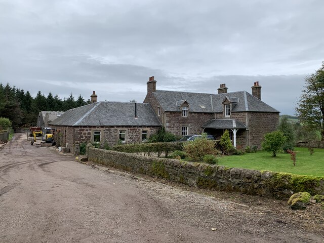
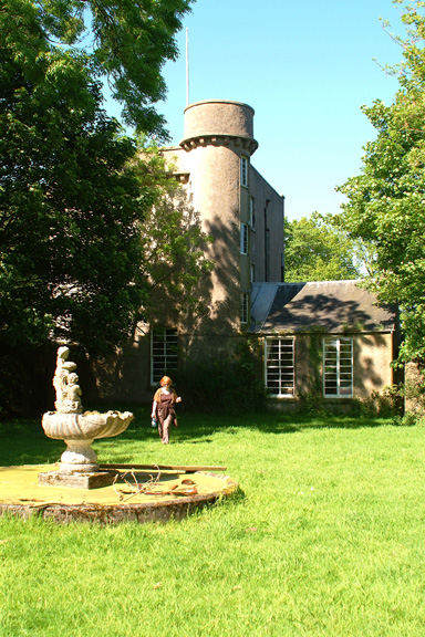
Images are sourced within 2km of 55.373444/-5.6894005 or Grid Reference NR6615. Thanks to Geograph Open Source API. All images are credited.

Killellan Park A farm.
Killellan Park
A farm.
Allt Dearg above Ballybrennan Surrounding land has been recently planted with a mixture of conifers and native deciduous trees
Allt Dearg above Ballybrennan
Surrounding land has been recently planted with a mixture of conifers and native deciduous trees
Allt Dearg above Ballybrennan
Loch Orodale Mull of Kintyre
Burn course of Allt a' Ghillean Duibh
Forest edge above Loch Orodale
Burn course of Allt a' Ghillean Duibh
Moorland slopes above the forest at Loch Orodale
Gateway in forest track which leads to Loch Orodale
Loch Orodale Loch Orodale is seen from the north, near the end of the other branch of the road through the forest.
Loch Orodale
Loch Orodale is seen from the north, near the end of the other branch of the road through the forest.
Forest road to Lochorodale The picture looks back towards the Glenbreckerie road. The partially cleared hill behind is Cnoc an Gabhar, on the far side of the public road. Forestation here dates from the 1970s.
Forest road to Lochorodale
The picture looks back towards the Glenbreckerie road. The partially cleared hill behind is Cnoc an Gabhar, on the far side of the public road. Forestation here dates from the 1970s.
Firebreak in Lochorodale forest Kilellan quarry is seen in the middle distance through the firebreak.
Firebreak in Lochorodale forest
Kilellan quarry is seen in the middle distance through the firebreak.
Road through the forest to Lochorodale
Loch Orodale from above We look northwest over Loch Orodale. The isolated top at 218 m (<a href="https://www.geograph.org.uk/photo/555221">NR6517 : Spot Height 218 North of Loch Orodale.</a>) is at upper right beyond the forest.
Loch Orodale from above
We look northwest over Loch Orodale. The isolated top at 218 m (NR6517 : Spot Height 218 North of Loch Orodale.) is at upper right beyond the forest.
Outflow from Loch Orodale
Old Milestone west of Homeston, Campbeltown Parish By the UC road, in parish of Campbeltown (Kintyre District), between Homeston and Lochorodale, on verge at Passing Place near forestry.

Inscription reads:-
5
MILES
FROM
CAMP TOWN

Surveyed

Milestone Society National ID: AB_CTSEUC05
Old Milestone west of Homeston, Campbeltown Parish
By the UC road, in parish of Campbeltown (Kintyre District), between Homeston and Lochorodale, on verge at Passing Place near forestry. Inscription reads:- 5 MILES FROM CAMP TOWN Surveyed Milestone Society National ID: AB_CTSEUC05
Forest track on the flank of Achnaslishaig Hill Looking north-eastward.
Forest track on the flank of Achnaslishaig Hill
Looking north-eastward.
Minor road between Dalsmirren and Lochorodale Looking north-eastward.
Minor road between Dalsmirren and Lochorodale
Looking north-eastward.
Show me another place!

Achnabraad Glen is located at Grid Ref: NR6615 (Lat: 55.373444, Lng: -5.6894005)

Unitary Authority: Argyll and Bute

Police Authority: Argyll and West Dunbartonshire

What 3 Words

///rails.scooter.decompose. Near Campbeltown, Argyll & Bute

Nearby Locations

Achnabraad Glen

Related Wikis

Killellan House

Killellan House was a mansion house at Conie Glen, Kintyre, Scotland. Gutted by fire, the house was demolished in the 1960s, however the entrance lodge...

Tirfergus House

Tirfergus House was a mansion house south of Drumlemble, Kintyre, Argyll and Bute, Scotland. The house has been demolished. Blockwork incorporated into...

Kilchrist Castle

Kilchrist Castle is a castle south west of Campbeltown, Argyll and Bute, Scotland. The castle was rebuilt in 1834 by Dugald McTavish, and is 3 storeys...

Drumlemble

Drumlemble (Scottish Gaelic: Druim Leamhan, pronounced [t̪ɾumˈlãũ.an]) is a small village on the Kintyre peninsula in Argyll and Bute, Scotland. The village...

Have you been to Achnabraad Glen?

Leave your review of Achnabraad Glen below (or comments, questions and feedback).