Knowle Fields

Settlement in Worcestershire Wychavon

England

Knowle Fields

Road past Lench Farm Country road past Lench Farm near Inkberrow.
Road past Lench Farm Credit: Philip Halling

The requested URL returned error: 429 Too Many Requests

If you have any feedback on the listing, please let us know in the comments section below.

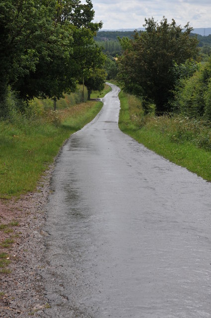
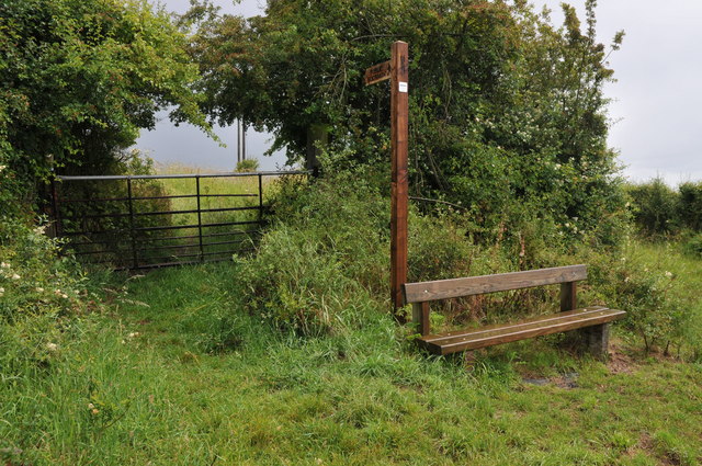
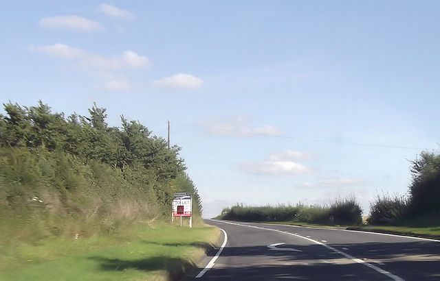
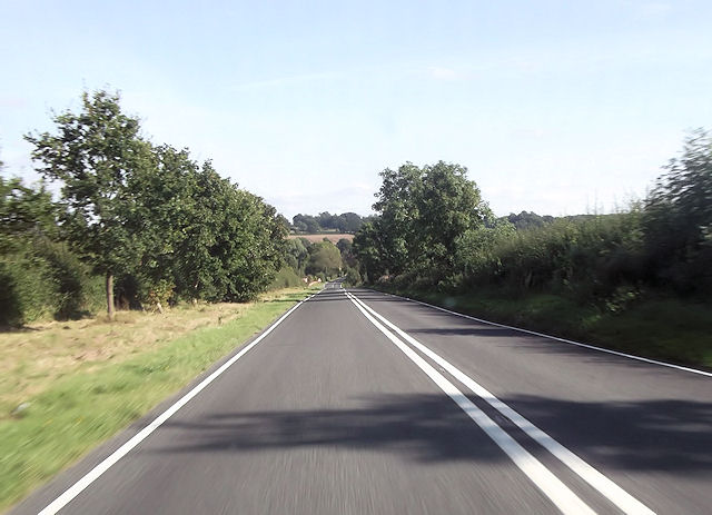
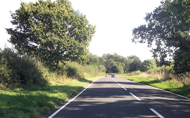
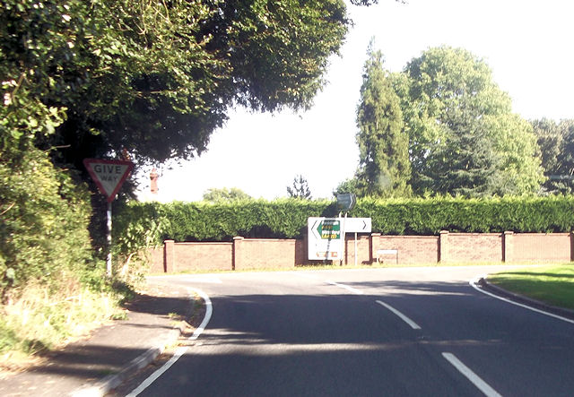
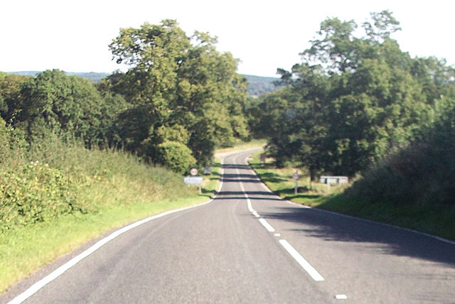
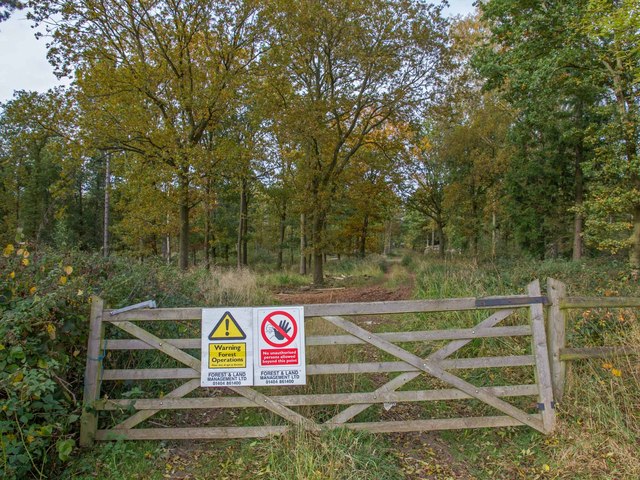
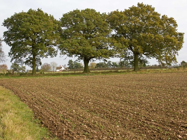
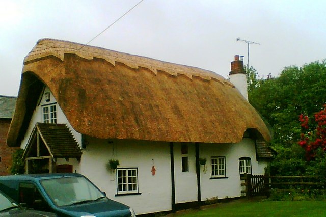
Knowle Fields Images

Images are sourced within 2km of 52.219278/-1.939615 or Grid Reference SP0457. Thanks to Geograph Open Source API. All images are credited.

Road past Lench Farm Country road past Lench Farm near Inkberrow.
Road past Lench Farm
Country road past Lench Farm near Inkberrow.
Footpath and seat, Inkberrow A footpath sign and convenient seat near Inkberrow.
Footpath and seat, Inkberrow
A footpath sign and convenient seat near Inkberrow.
Country road near Little Mearse Farm Country road near Little Mearse Farm near Inkberrow.
Country road near Little Mearse Farm
Country road near Little Mearse Farm near Inkberrow.
Fields of wheat Fields of wheat beside Mearse Lane near Inkberrow.
Fields of wheat
Fields of wheat beside Mearse Lane near Inkberrow.
Footpath by Thornhill Wood The footpath from Old Park Wood and the A422 passes through the middle of Thornhill Farm, and runs alongside Thornhill Wood on its way towards the B4088 and Nunnery Wood.
Footpath by Thornhill Wood
The footpath from Old Park Wood and the A422 passes through the middle of Thornhill Farm, and runs alongside Thornhill Wood on its way towards the B4088 and Nunnery Wood.
Footpath through Thornhill Farm The footpath from the B4088 and Nunnery Wood, passes through the middle of Thornhill Farm, on its way towards the A422 and Old Park Wood seen in the distance in <a href="https://www.geograph.org.uk/gridref/SP0657">SP0657</a>
Footpath through Thornhill Farm
The footpath from the B4088 and Nunnery Wood, passes through the middle of Thornhill Farm, on its way towards the A422 and Old Park Wood seen in the distance in SP0657
Cross-field towards Cookhill From the edge of Old Park Wood.
Cross-field towards Cookhill
From the edge of Old Park Wood.
Milestone on the Ridgeway,  Evesham Road,  Cookhill
Milestone on the Ridgeway, Evesham Road, Cookhill
Footpath towards The Old House The footpath from Thornhill Farm towards The Old House, skirts Old Park Wood on the right, and then heads uphill across the stubble field, where its track can just be seen on the left.
Footpath towards The Old House
The footpath from Thornhill Farm towards The Old House, skirts Old Park Wood on the right, and then heads uphill across the stubble field, where its track can just be seen on the left.
Priory Piece junction from A422
Long straight at Jump for Joy riding stables
Straight road passing The Oaks
Road junction with A441 From A422 eastbound
Road junction with A441
From A422 eastbound
Entering Warwickshire on A422
View north from footpath to The Old House Looking north from the footpath from Thornhill Farm to The Old House.
Old Park Wood is on the right.
View north from footpath to The Old House
Looking north from the footpath from Thornhill Farm to The Old House. Old Park Wood is on the right.
Big blue tractor A big blue tractor working on Thornhill Farm. Taken from the footpath that runs through the farmyard.
Big blue tractor
A big blue tractor working on Thornhill Farm. Taken from the footpath that runs through the farmyard.
Track through Weethley Wood View NNW from the footpath that runs round the eastern side of Weethley Wood.
Track through Weethley Wood
View NNW from the footpath that runs round the eastern side of Weethley Wood.
Three oaks by the footpath Looking east from the footpath round Weethley Wood, towards three large oak trees along a field boundary. Through the trees can be seen two semi-detached cottages on the B4088 Evesham Road.
Three oaks by the footpath
Looking east from the footpath round Weethley Wood, towards three large oak trees along a field boundary. Through the trees can be seen two semi-detached cottages on the B4088 Evesham Road.
Show me another place!

Knowle Fields is located at Grid Ref: SP0457 (Lat: 52.219278, Lng: -1.939615)

Administrative County: Worcestershire

District: Wychavon

Police Authority: West Mercia

What 3 Words

///sake.ruffling.downward. Near Inkberrow, Worcestershire

Nearby Locations

Knowle Fields

Related Wikis

Cookhill Priory

Cookhill Priory was a Cistercian nunnery near Cookhill in Worcestershire, England. == History == The Priory is believed to be founded by Isabel de Mauduit...

Cookhill

Cookhill is a village and civil parish in Worcestershire, England, on the county border near Alcester. It is close to a former Cistercian Priory of the...

Holberrow Green

Holberrow Green is a village in Worcestershire, England. == External links == Media related to Holberrow Green at Wikimedia Commons

Inkberrow Castle

Inkberrow Castle was situated in the village of Inkberrow in Worcestershire, some 10 km south of Redditch (grid reference SP017572). It was a castle built...

Nearby Amenities

Located within 500m of 52.219278,-1.939615
Barrier: stile
Foot: yes
Lat/Long: 52.2226564/-1.9391406
Power: tower
Source: bing
Lat/Long: 52.217493/-1.9363524
Power: tower
Source: bing
Lat/Long: 52.2209332/-1.9354827
Barrier: stile
Foot: yes
Lat/Long: 52.219523/-1.9413392
Barrier: stile
Foot: yes
Lat/Long: 52.2212467/-1.9447384
Power: pole
Lat/Long: 52.2229688/-1.939143
Power: pole
Lat/Long: 52.2226434/-1.9366242
Location Transition: yes
Power: pole
Lat/Long: 52.2229231/-1.9363662
Power: pole
Lat/Long: 52.222962/-1.941597
Power: pole
Lat/Long: 52.2228158/-1.9379009
Location Transition: yes
Power: pole
Lat/Long: 52.2224801/-1.9354219
Power: pole
Lat/Long: 52.222938/-1.943418
Power: pole
Lat/Long: 52.2229627/-1.9404271
Cookhill Sewage Works
Power: pole
Transformer: distribution
Voltage Primary: 11000
Lat/Long: 52.2226698/-1.9368304
Knowl Fields Dairy Farm
Power: pole
Transformer: distribution
Voltage Primary: 11000
Lat/Long: 52.2196367/-1.9397374
Power: pole
Lat/Long: 52.2201181/-1.939728
Power: pole
Lat/Long: 52.2206612/-1.9397306
Power: pole
Lat/Long: 52.2213086/-1.939559
Power: pole
Lat/Long: 52.2221967/-1.9393229
Vodaphone Mast Cookhill Priory
Power: pole
Transformer: distribution
Voltage Primary: 11000
Lat/Long: 52.2173764/-1.9356845
Power: pole
Lat/Long: 52.2179877/-1.9329856
Power: pole
Lat/Long: 52.2186125/-1.9331706
Location Transition: yes
Power: pole
Lat/Long: 52.2192382/-1.9333309
Power: pole
Lat/Long: 52.2200245/-1.9335294
Power: pole
Lat/Long: 52.2207902/-1.9337185
Power: pole
Lat/Long: 52.2215945/-1.933929
The data included in this document is from www.openstreetmap.org. The data is made available under ODbL.

Have you been to Knowle Fields?

Leave your review of Knowle Fields below (or comments, questions and feedback).