Knowl Wall

Settlement in Staffordshire Stafford

England

Knowl Wall

Plenty more to harrow Looking across this field towards Kingswood Bank. The tractor is harrowing the field, working towards the camera.
Plenty more to harrow Credit: Rich Tea

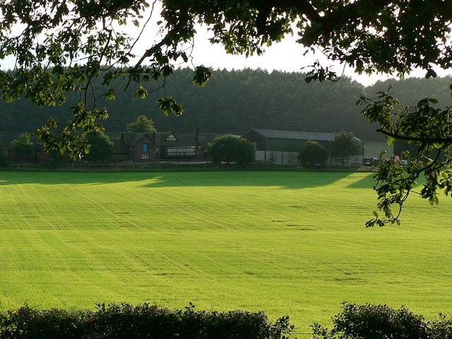
Knowl Wall is a small hamlet located in the county of Staffordshire, England. Situated just southeast of the town of Leek, it is nestled within the picturesque Staffordshire Moorlands. The hamlet is characterized by its rural charm and stunning natural surroundings.

With a population of around 200 residents, Knowl Wall offers a tranquil and close-knit community atmosphere. The area is primarily residential, with a scattering of traditional stone-built houses and cottages dotting the landscape. The architecture reflects the rich history of the region, adding to the overall charm of the hamlet.

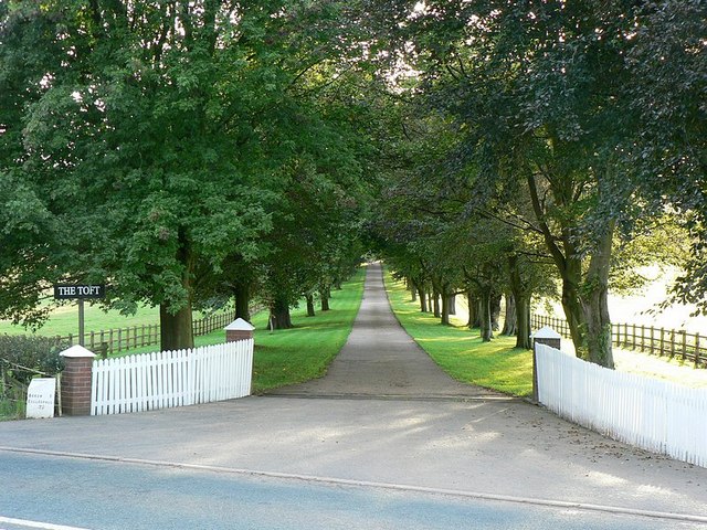
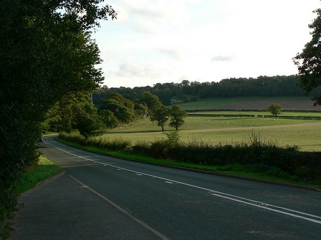
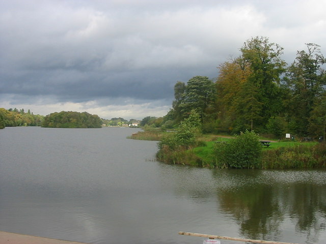
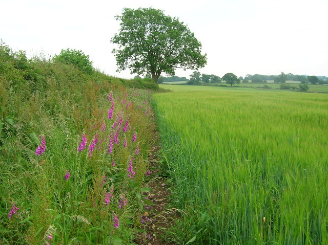
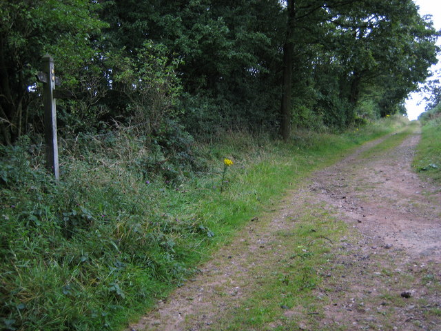
Knowl Wall is surrounded by rolling hills, lush green fields, and idyllic countryside, making it a popular destination for nature lovers and outdoor enthusiasts. The nearby River Churnet flows through the area, providing opportunities for activities such as fishing, boating, and leisurely walks along its banks.

For those seeking a taste of history, Knowl Wall is within easy reach of several notable landmarks. The nearby Leek town center boasts a range of historic buildings, including the magnificent St. Edward's Church and the charming Victorian market hall. Additionally, the historic Cheddleton Flint Mill, a working watermill dating back to the 18th century, is only a short distance away.

Knowl Wall's proximity to the Peak District National Park also offers residents and visitors easy access to stunning landscapes, hiking trails, and breathtaking views. With its serene atmosphere, beautiful surroundings, and convenient location, Knowl Wall truly captures the essence of rural Staffordshire.

If you have any feedback on the listing, please let us know in the comments section below.
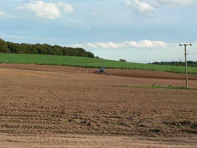
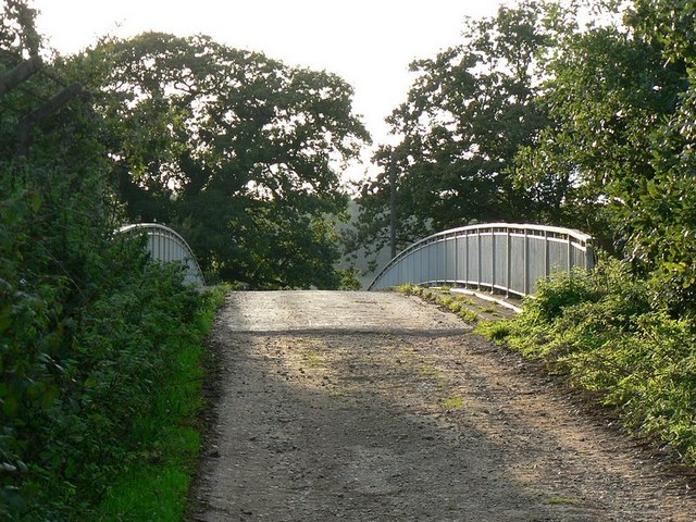
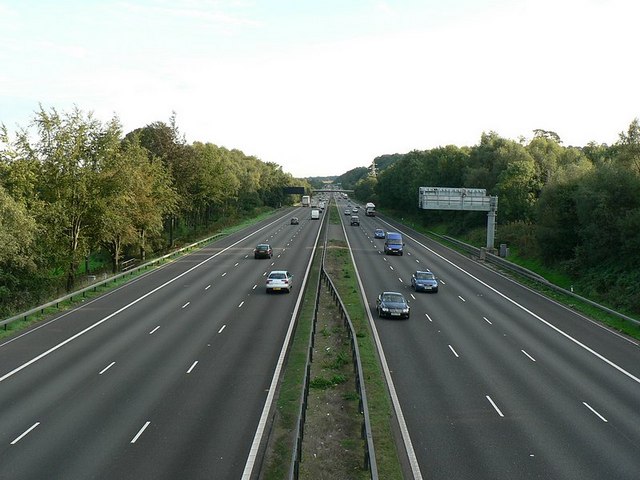
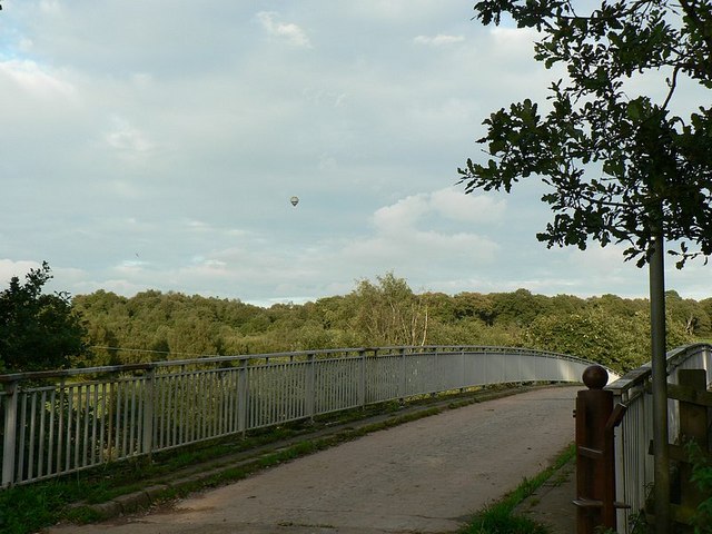
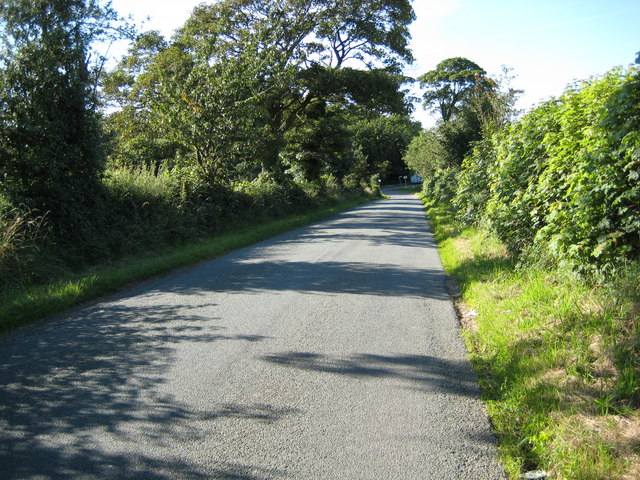
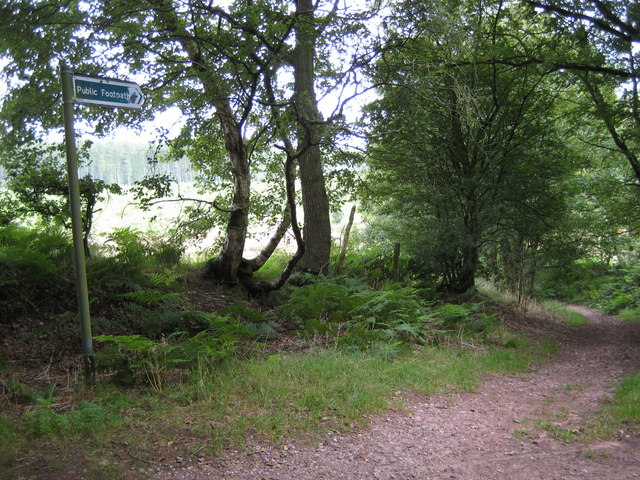
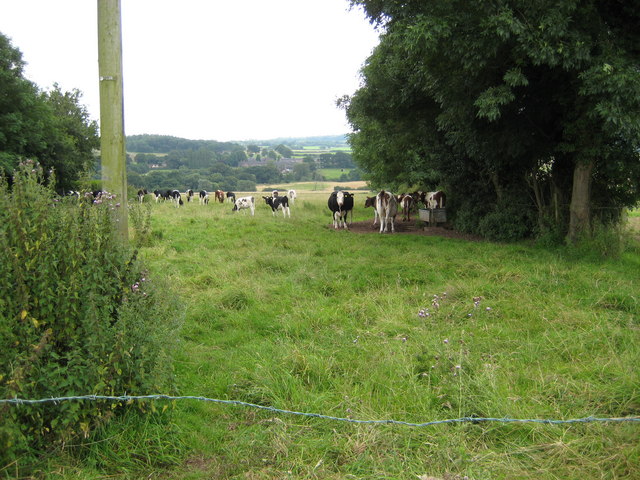
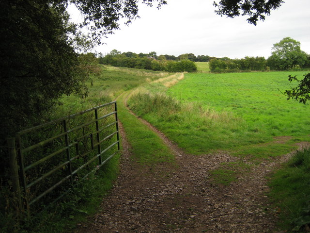
Knowl Wall Images

Images are sourced within 2km of 52.949958/-2.220243 or Grid Reference SJ8539. Thanks to Geograph Open Source API. All images are credited.

Plenty more to harrow Looking across this field towards Kingswood Bank. The tractor is harrowing the field, working towards the camera.
Plenty more to harrow
Looking across this field towards Kingswood Bank. The tractor is harrowing the field, working towards the camera.
Bridge over the M6 This is the bridge just over a mile south of junction 15. It carries a track from the A519 towards Kings Wood.
Bridge over the M6
This is the bridge just over a mile south of junction 15. It carries a track from the A519 towards Kings Wood.
M6 looking south From the bridge <a href="https://www.geograph.org.uk/photo/250344">SJ8539 : Bridge over the M6</a>
M6 looking south
From the bridge SJ8539 : Bridge over the M6
Bridge over M6, with hot air balloon The bridge carries a lane from the A519 near The Toft towards Kings Wood
Bridge over M6, with hot air balloon
The bridge carries a lane from the A519 near The Toft towards Kings Wood
Stile to nowhere The bridge over the M6 has a gate which could swing across the entrance, the post is by the opposite rail. This stile should meet up with it, but the hinges seem to have seized up when I tried to move it.
See <a href="https://www.geograph.org.uk/photo/250670">SJ8539 : Bridge over M6, with hot air balloon</a>
Stile to nowhere
The bridge over the M6 has a gate which could swing across the entrance, the post is by the opposite rail. This stile should meet up with it, but the hinges seem to have seized up when I tried to move it. See SJ8539 : Bridge over M6, with hot air balloon
View across the fields to The Toft Late September afternoon. Taken from the A519 by the bridge over the M6.
View across the fields to The Toft
Late September afternoon. Taken from the A519 by the bridge over the M6.
Entrance to The Toft By the A519.
Entrance to The Toft
By the A519.
The A519 From Eccleshall to Newcastle-under-Lyme
The A519
From Eccleshall to Newcastle-under-Lyme
Trentham Lake From the southern tip of Trentham Gardens lake close to the Monkey Park. In the distance can be seen the recently refurbished Italien Gardens and what remains of Trentham Hall.
Trentham Lake
From the southern tip of Trentham Gardens lake close to the Monkey Park. In the distance can be seen the recently refurbished Italien Gardens and what remains of Trentham Hall.
Field margin with foxgloves near Harley Thorns Farm
Beech Lane goes under M6 at Beechcliff The narrow lane goes under the six lane motorway (looking west)
Beech Lane goes under M6 at Beechcliff
The narrow lane goes under the six lane motorway (looking west)
Harley Thorn Lane Looking South East along Harley Thorn Lane in Hanchurch Hills
Harley Thorn Lane
Looking South East along Harley Thorn Lane in Hanchurch Hills
Water Tower The water tower at Hanchurch Hills
Water Tower
The water tower at Hanchurch Hills
Bottom Lane Looking north in Bottom Lane towards the junction with A519
Bottom Lane
Looking north in Bottom Lane towards the junction with A519
Footpath off Common Lane towards Harley Thorns Footpath towards Harley Thorns, the plantation can be seen behind the footpath sign
Footpath off Common Lane towards Harley Thorns
Footpath towards Harley Thorns, the plantation can be seen behind the footpath sign
Cattle in field off Beech Lane Cattle in field adjacent to "West View"
Cattle in field off Beech Lane
Cattle in field adjacent to "West View"
Land near Beech House Farm Looking North East towards Beech
Land near Beech House Farm
Looking North East towards Beech
Green Lane Looking south towards Swynnerton at the top of Green Lane.
Green Lane
Looking south towards Swynnerton at the top of Green Lane.
Show me another place!

Knowl Wall is located at Grid Ref: SJ8539 (Lat: 52.949958, Lng: -2.220243)

Administrative County: Staffordshire

District: Stafford

Police Authority: Staffordshire

What 3 Words

///views.dull.goods. Near Barlaston, Staffordshire

Nearby Locations

Black Lake Knowl Wall

Related Wikis

Beechcliff

Beechcliff is a hamlet in Staffordshire, England. For population details at the 2011 census see Swynnerton

Trentham Estate

The Trentham Estate, in the village of Trentham, is a visitor attraction located on the southern fringe of the city of Stoke-on-Trent in Staffordshire...
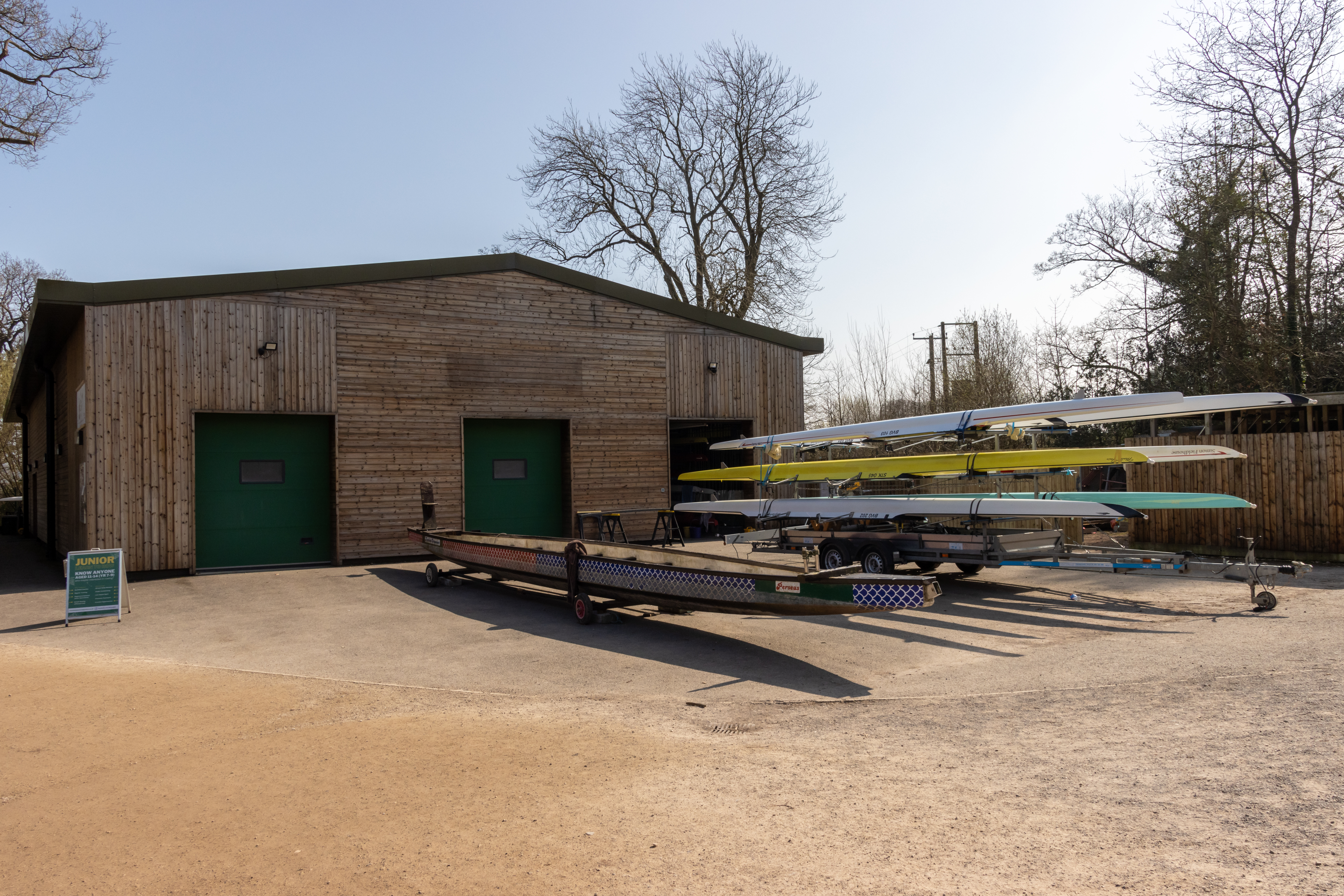
Trentham Boat Club

Trentham Boat Club is a rowing club based on Trentham Lake next to the River Trent, at Trentham Gardens Estate, Stone Road, Trentham, Stoke-on-Trent, Staffordshire...

Tittensor

Tittensor village is located in Staffordshire, England, between Newcastle-under-Lyme and Stone. The population as taken at the 2011 census can be found...

Nearby Amenities

Located within 500m of 52.949958,-2.220243
Power: tower
Source: Bing
Lat/Long: 52.9517929/-2.2189363
Power: tower
Source: Bing
Lat/Long: 52.9533609/-2.2251255
Power: tower
Source: Bing
Lat/Long: 52.9488731/-2.2150765
Barrier: stile
Lat/Long: 52.9494212/-2.2269799
Barrier: stile
Lat/Long: 52.9502012/-2.2233884
Addr Housename: Tollgate Cottage
Lat/Long: 52.9513587/-2.2229285
Addr Housename: Glen Rose
Lat/Long: 52.9504554/-2.2221802
Addr Housename: Hilltop
Lat/Long: 52.9491932/-2.2211475
Speed Camera
Lat/Long: 52.9481262/-2.217794
The data included in this document is from www.openstreetmap.org. The data is made available under ODbL.

Have you been to Knowl Wall?

Leave your review of Knowl Wall below (or comments, questions and feedback).